|
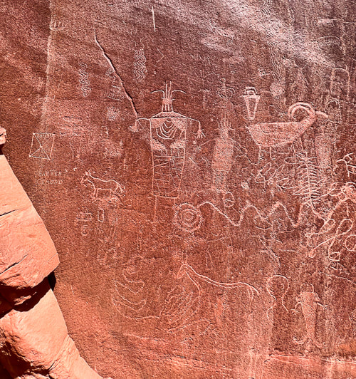
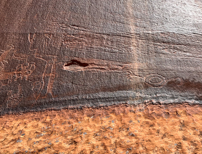
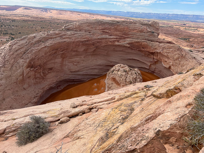
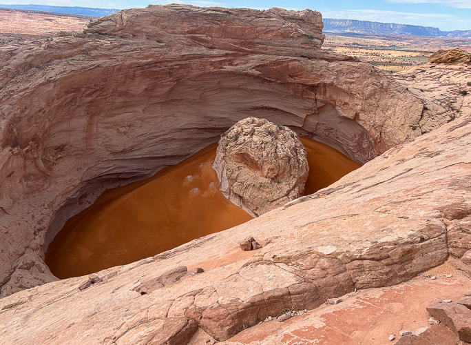
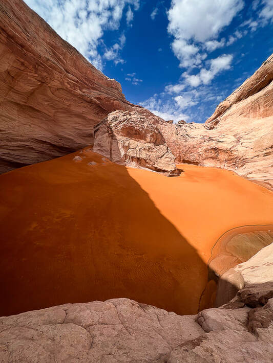
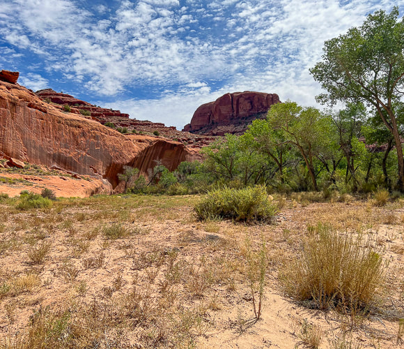
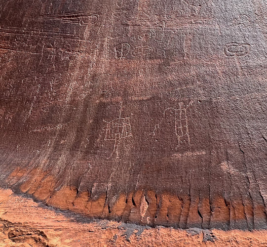
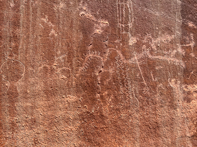
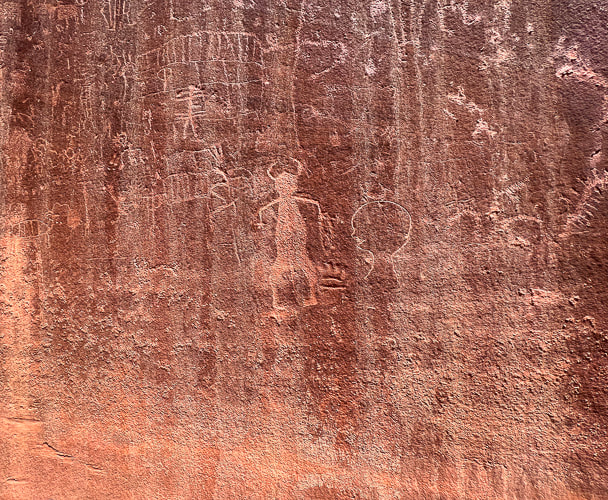
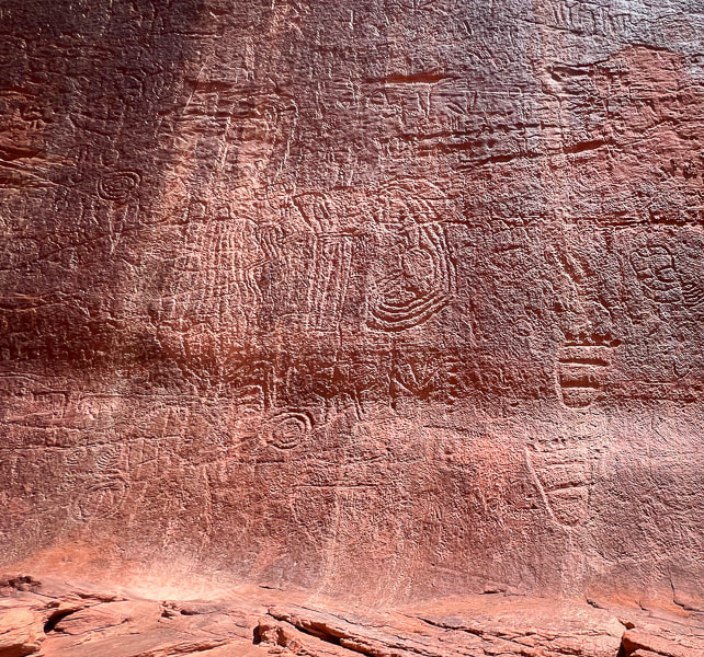
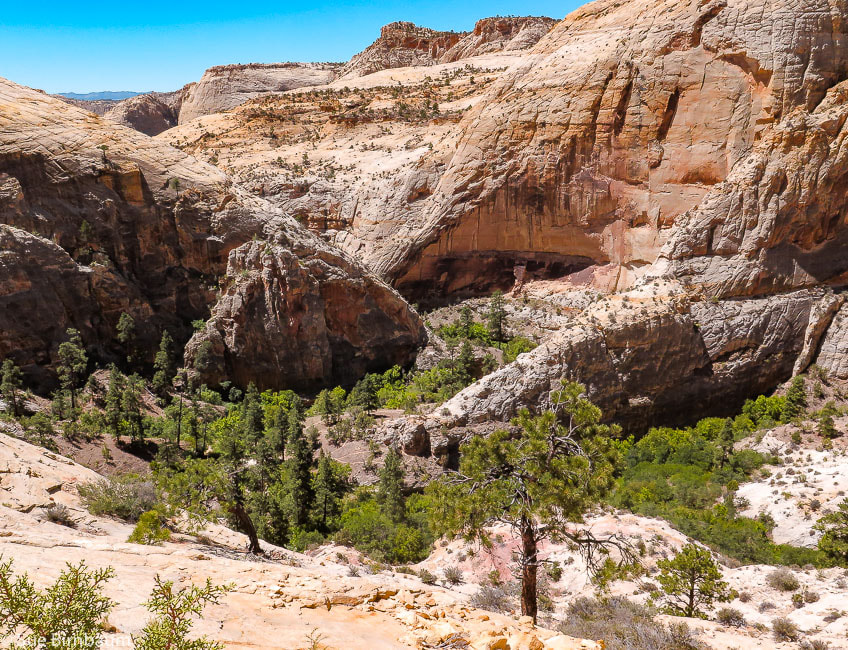
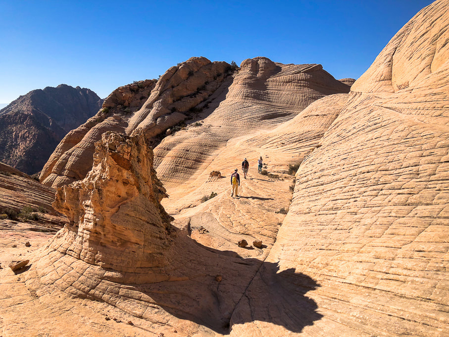
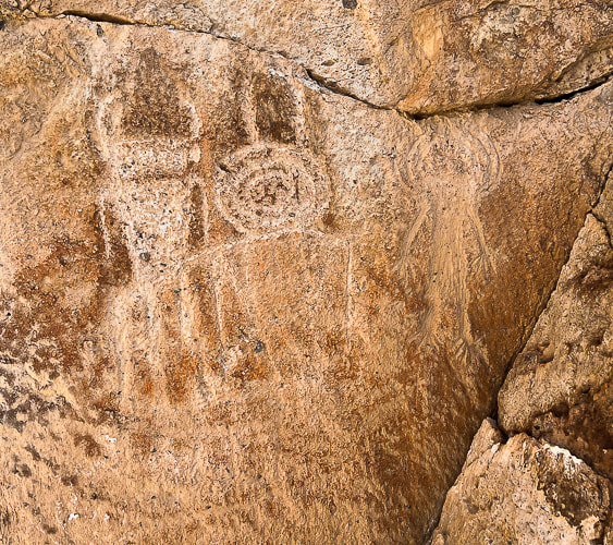
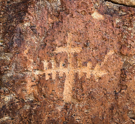
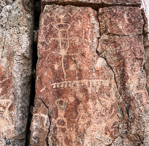
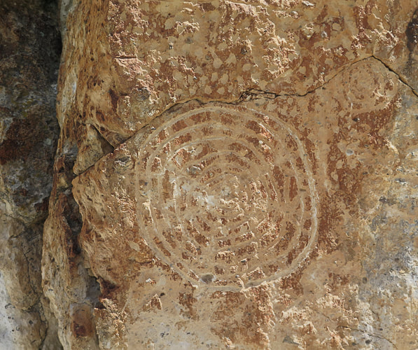
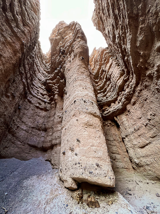
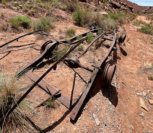
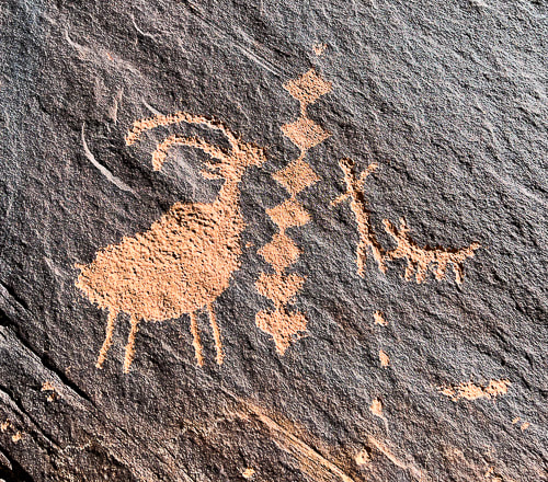
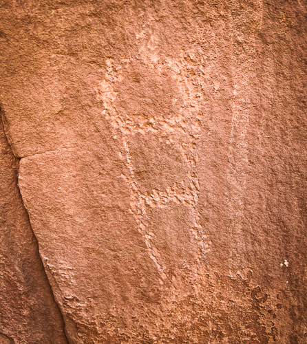
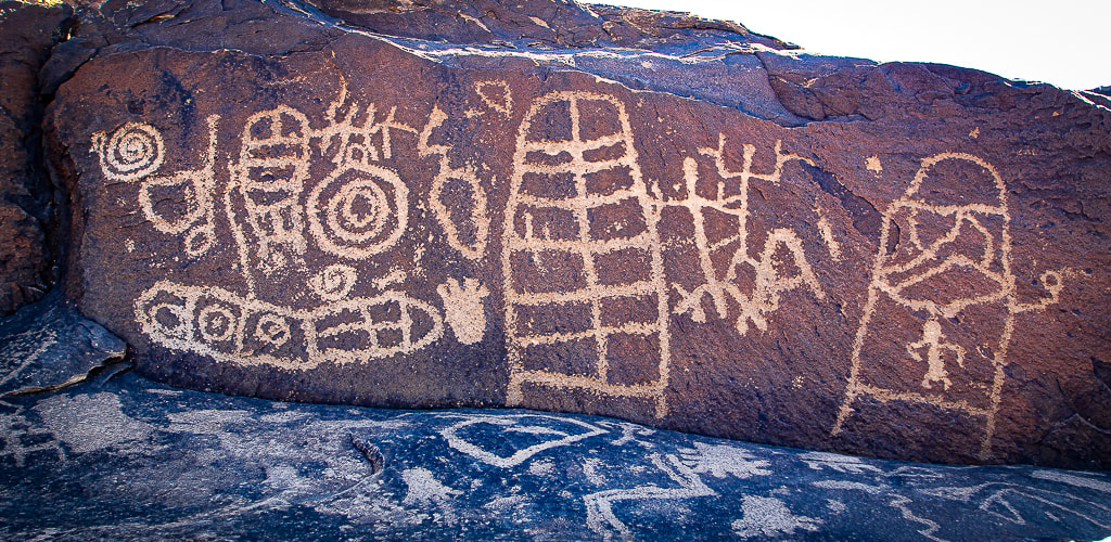
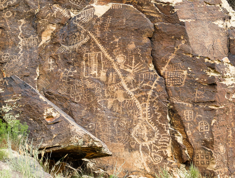
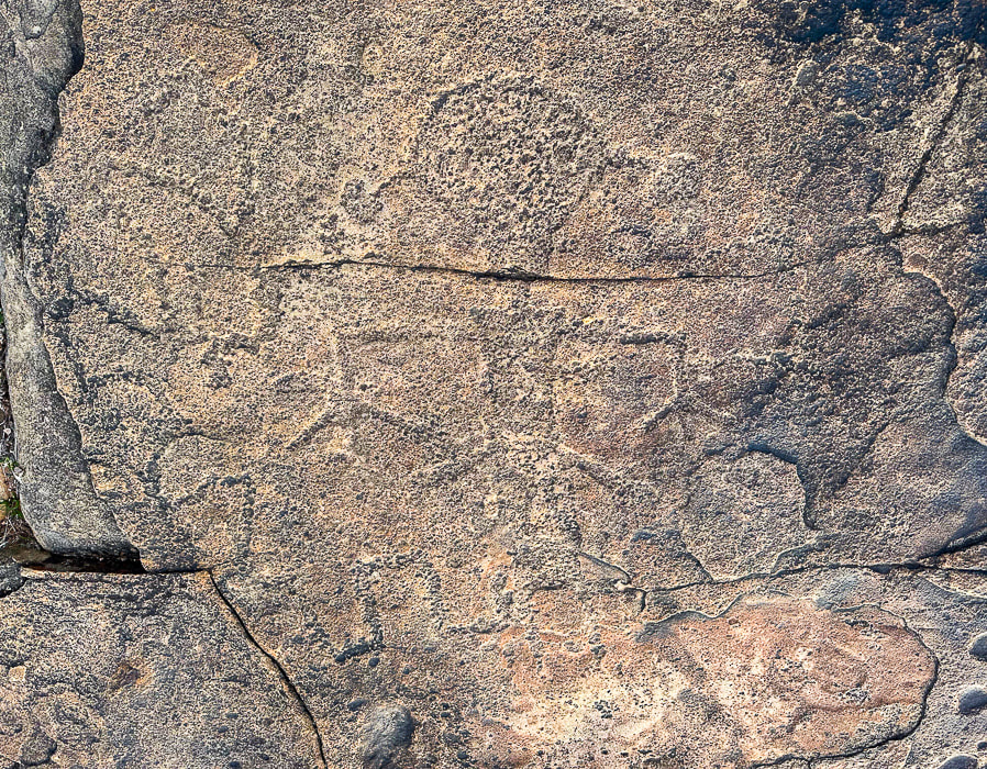
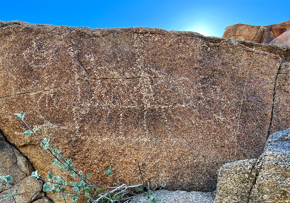
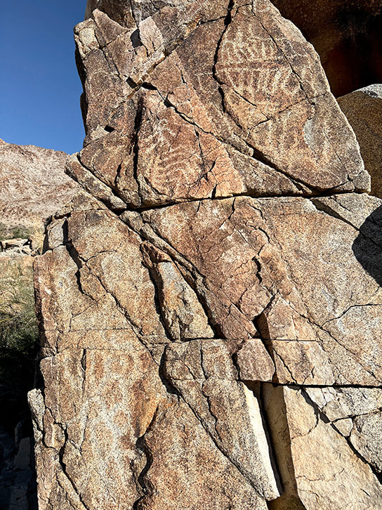
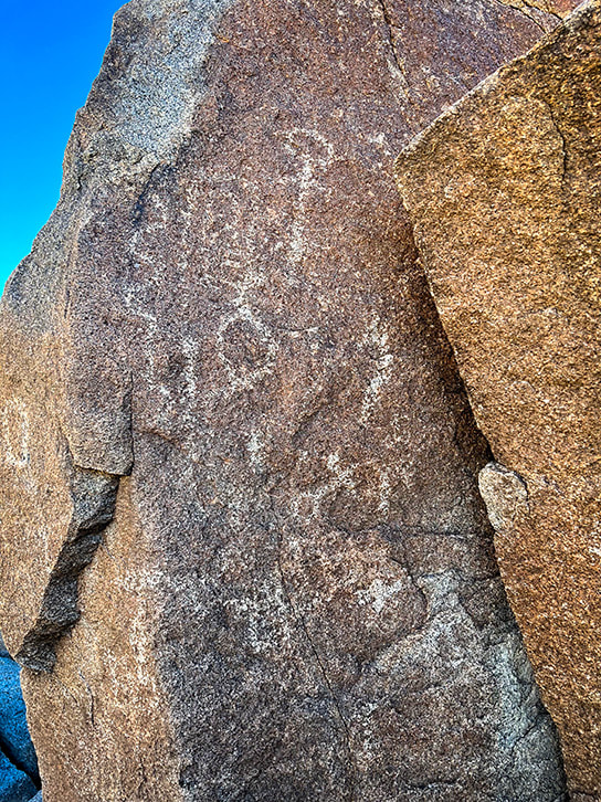
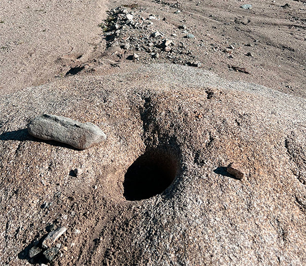
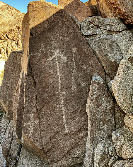
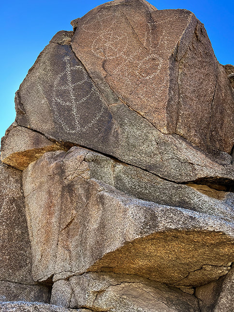
A four-mile journey across pristine slickrock brings you to this wondrous geologic feature in remote Grand Staircase-Escalante National Monument. Nearby, a huge petroglyph panel representing various cultures looks over the Escalante River near Neon Canyon. 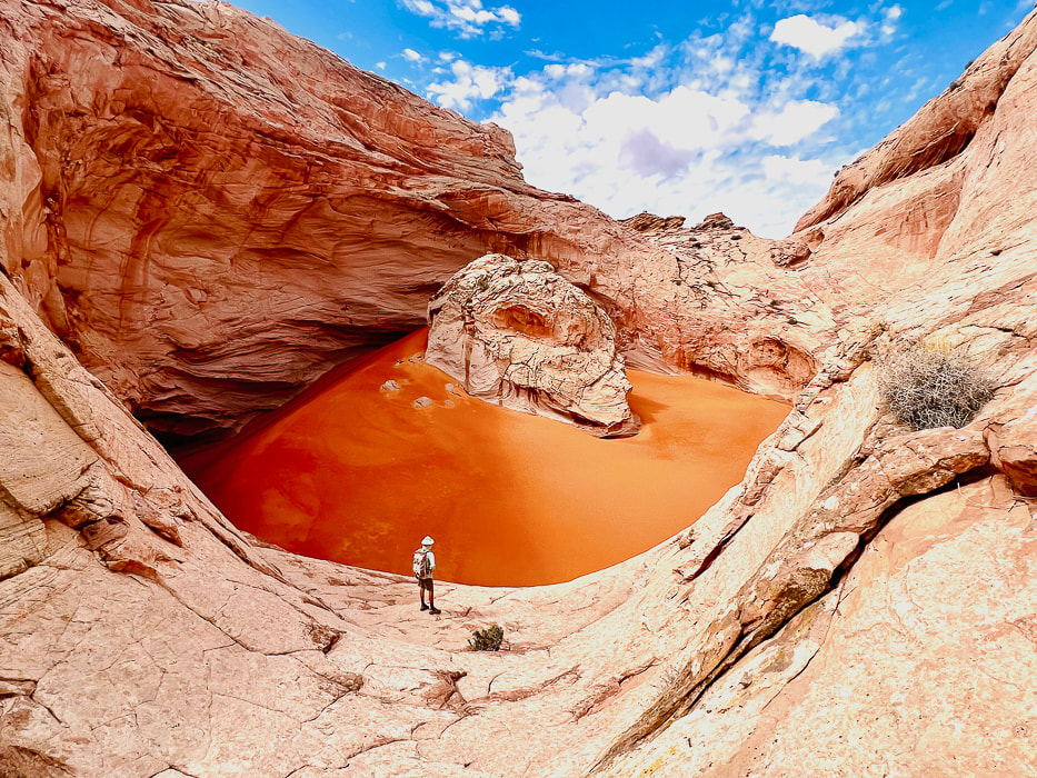 The Cosmic Ashtray, aka Cosmic Navel - a huge 200-foot wide pothole filled with orange sand. Small sample of many petroglyphs on huge panel near the confluence of Neon Canyon and Escalante River.
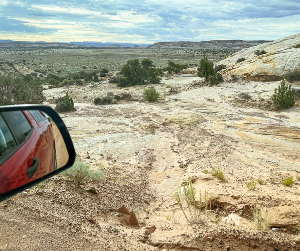
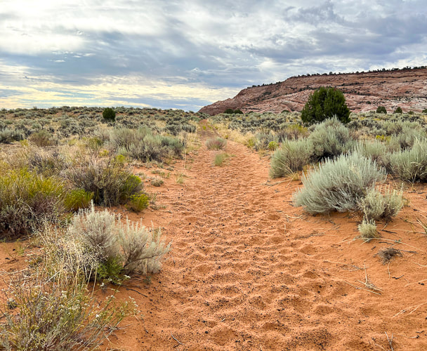
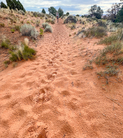
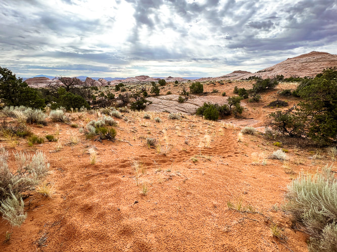
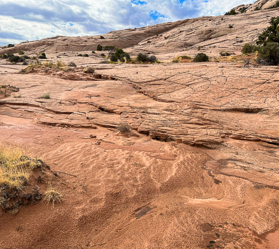
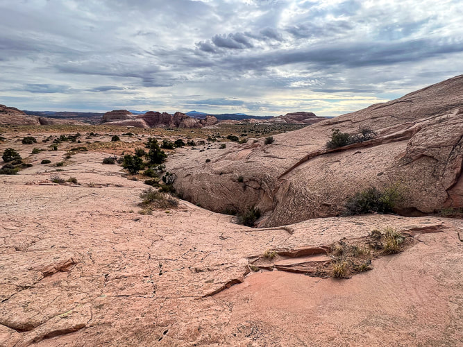
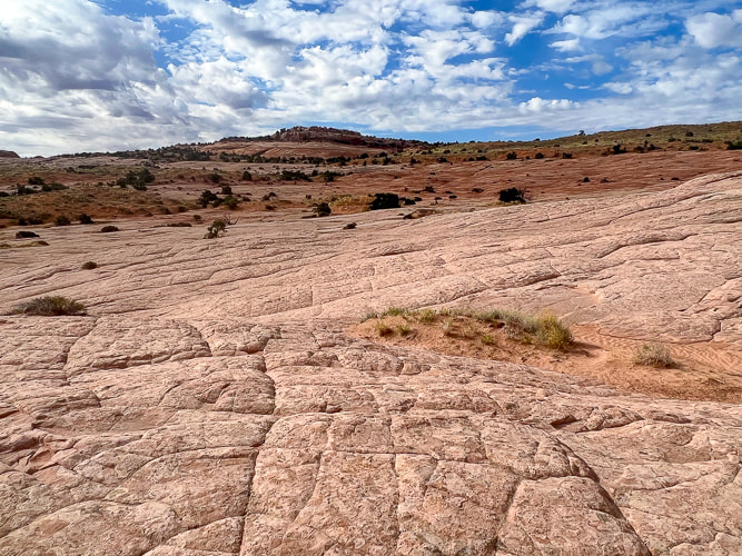
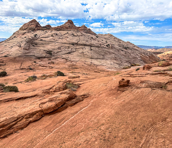
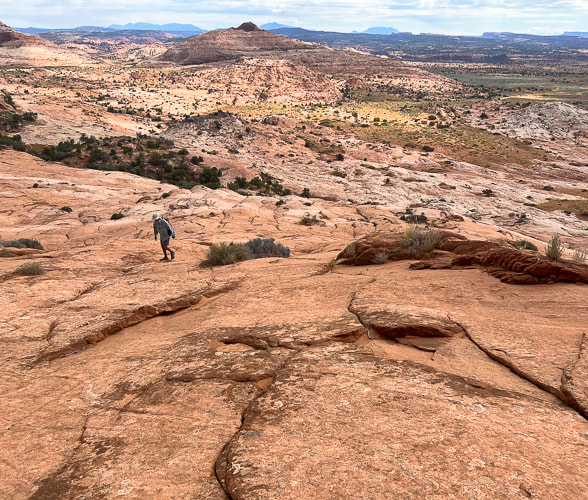
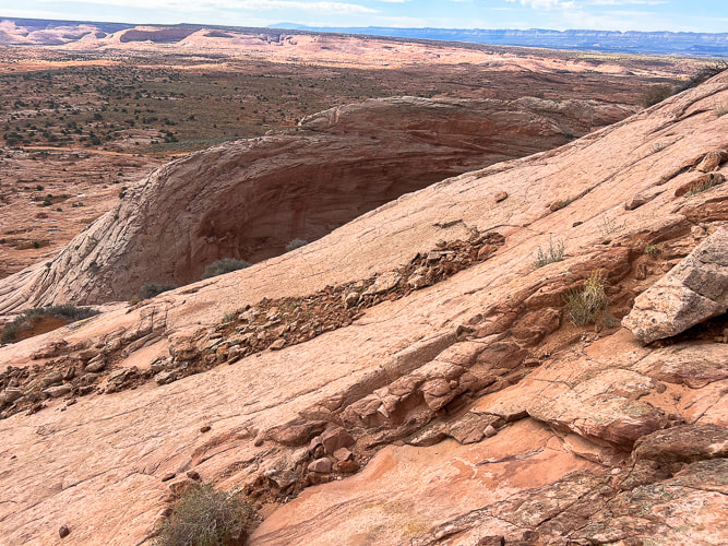
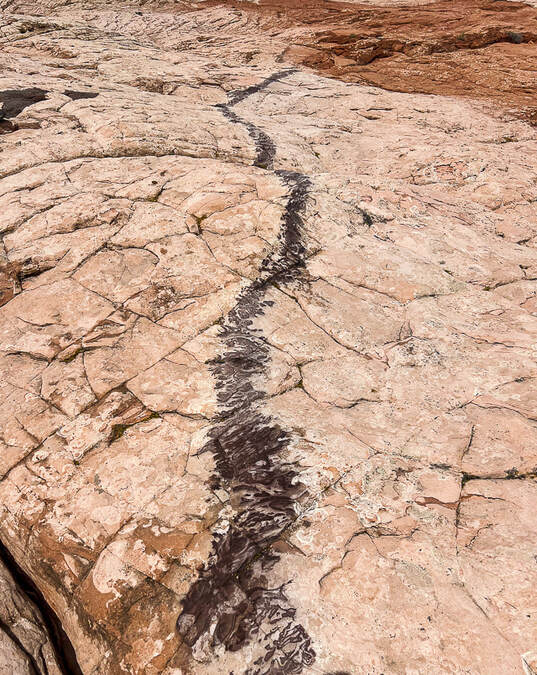
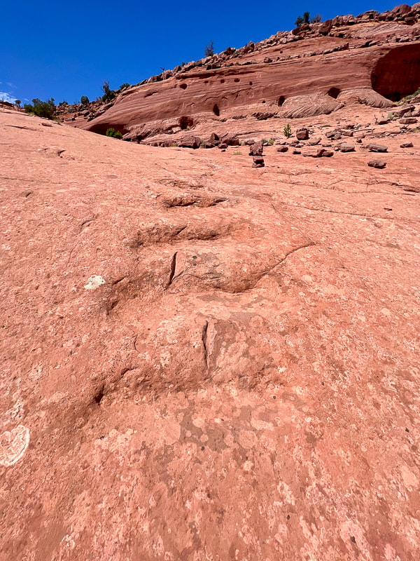
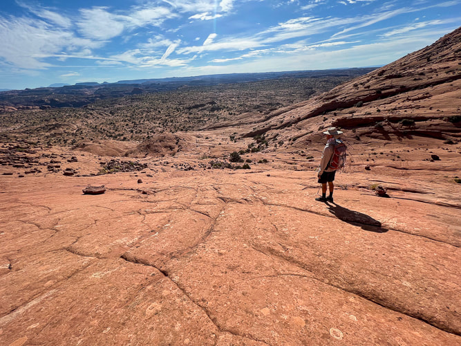
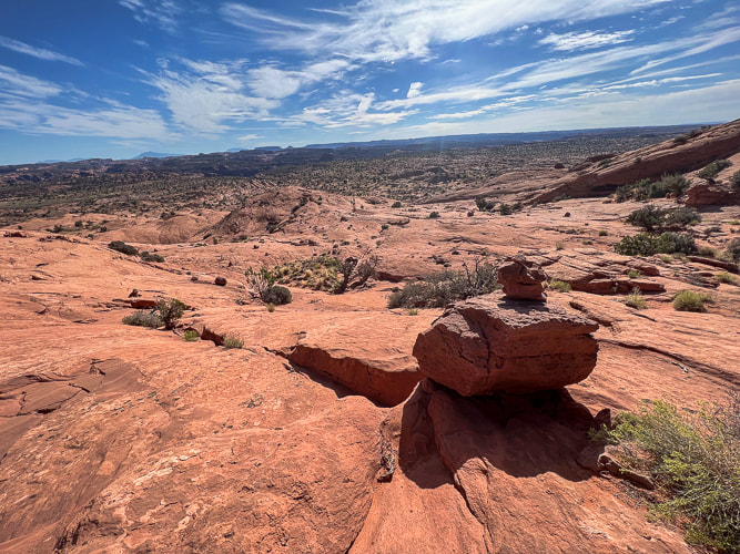
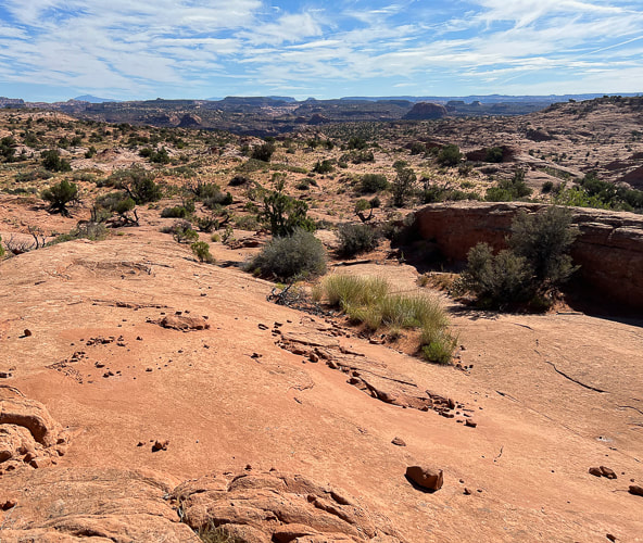
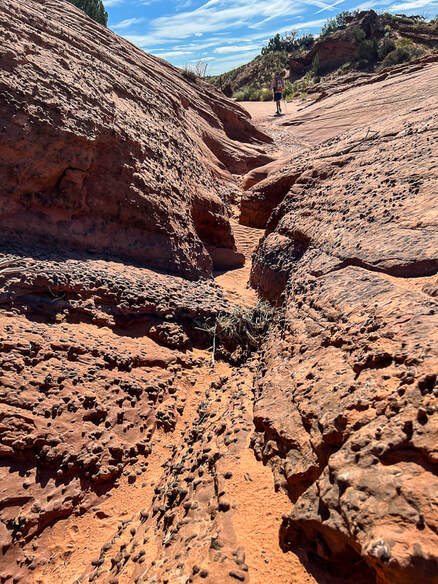
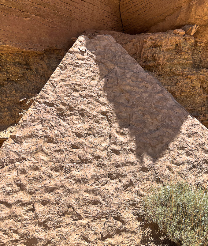
Cosmic Ashtray The Cosmic Ashtray, AKA "Cosmic Navel" is an astonishing sight to behold after a suspenseful four-mile hike across a sea of slick rock, when it suddenly appears as a huge white sandstone pothole filled with deep orange sand, a large rock stashed inside it. This "weathering pit", also called "Inselberg (island mountain) Pit" because of its 10-meter high rock pedestal is the largest on Earth. It has erosional features that resemble similar discoveries on Mars. Wind continually changes the pit dune's orange sand shape and depth. Based on Colorado River erosion rates, a study estimates this pit is 216,000 years old. We talked to a bartender, a life-long Escalante rancher who had hiked Cosmic a few times. He has climbed into the pit sand by tying a rope to a shrub! We didn't find a hook in the pit wall. We got to talking about Hole-In-the-Rock Road, one of the few that gives access to Grand Staircase-Escalante and the Egypt trailhead we used for Golden Cathedral. After we complained that the road was very wash-boardy and rough, he said the county (Garfield) used to keep it in better condition before it became a National Monument. We've been down this road several times and this time it appeared to be in the worst condition. If you look at an aerial photo of the Cosmic Ashtray (check out the Netoff study), an open tunnel into the pit indicates wind has carved this channel smooth, creating wind-abraded flutes on its sandstone walls. Cosmic Ashtray is situated on a topographical high, between bedrock knobs. Wind funnels through these sandstone knobs enhancing wind speed (the Venturi effect). The orange dune sand comes from distant areas; it's larger-grained and therefore heavier than the sand of the eroded pit walls, so it accumulates in the pit. Fred hadn't seen photos of the Cosmic Ashtray weathering pit so he was amazed when we came upon it. The beautiful journey across miles of undulating bare Navajo sandstone makes you feel small and remote in the middle of the Jurassic-age buttes, knobs, and deep, narrow canyons. Moqui marbles, black embedded half-shells of iron concretions, and weird stained patterns pop up in the bleached and orange slick rock. Polygonal fractures that resemble honeycombs decorate the white sandstone all the way to the top. It will be fun to take friends next time without showing them a "preview" of Cosmic Ashtray just to see their astonishment at the sight of it. A sequence of ducks (small rock pile trail markers) led us up a steep pitch where Cosmic slowly came into view as we climbed to a lookout (Point 5847). At first, the northern-facing pit wall appears, followed by the tip of the pedestal rock in its center, and then finally its orange sand pit. Great vantage point for photos. Then you can climb back down and access the pit from its north entrance.
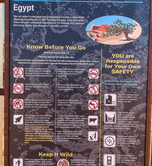
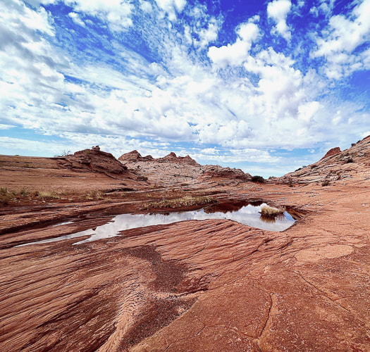
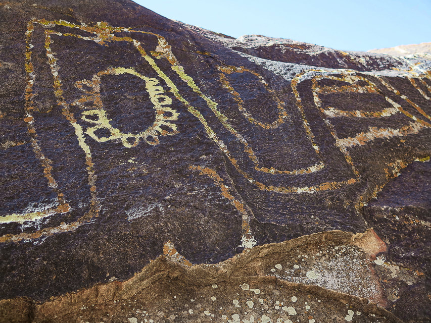
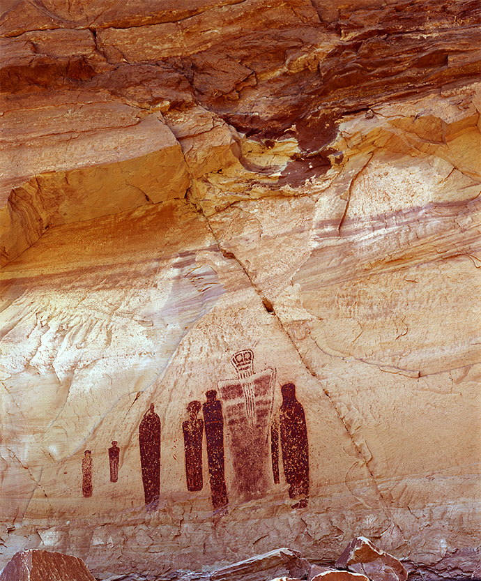
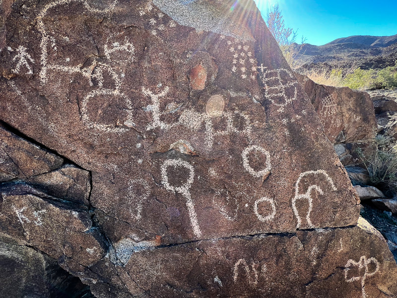
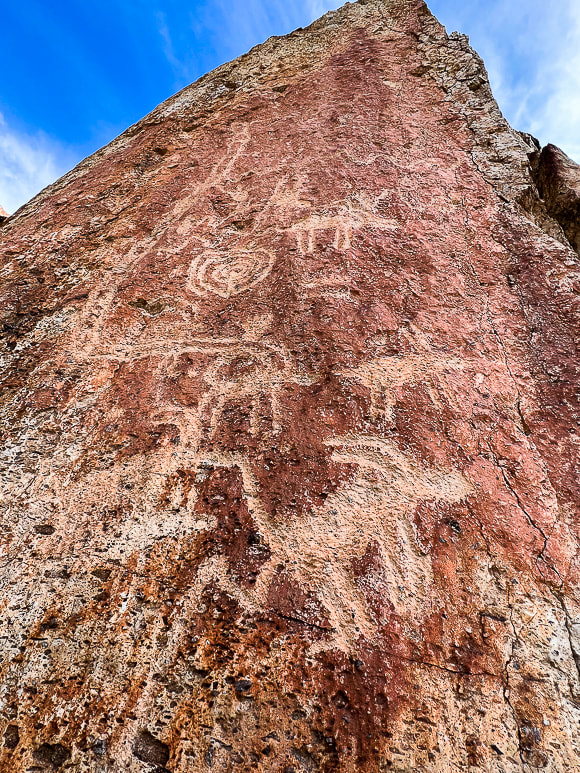
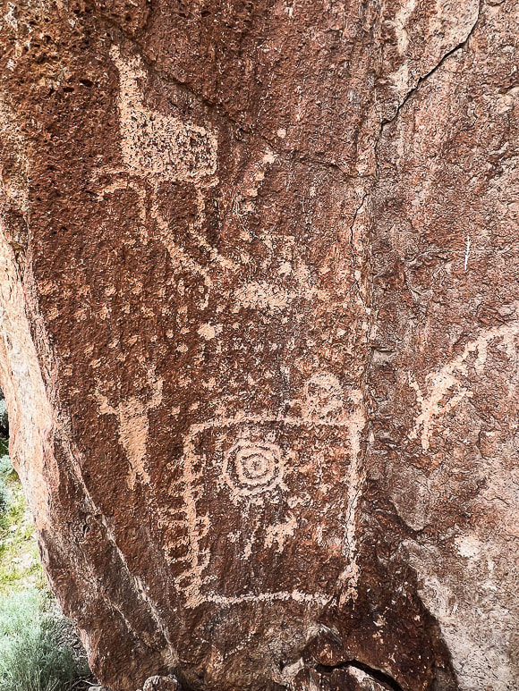
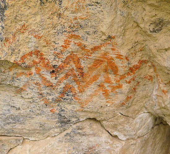
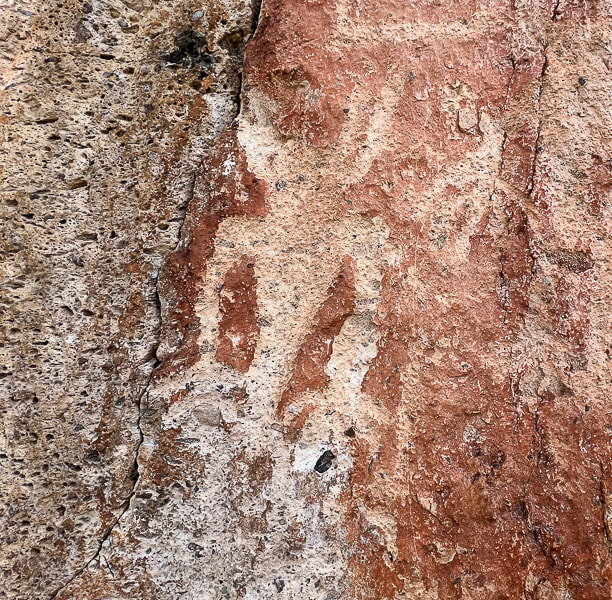
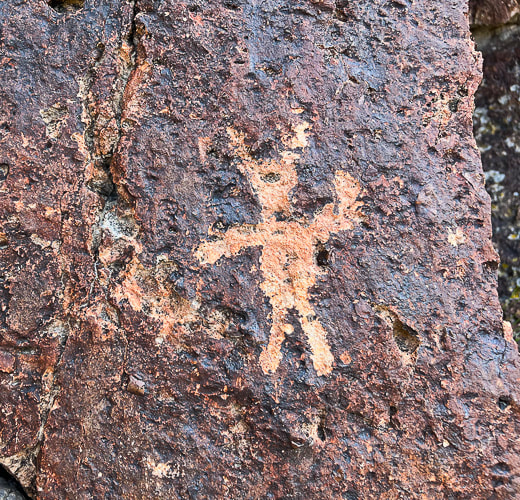
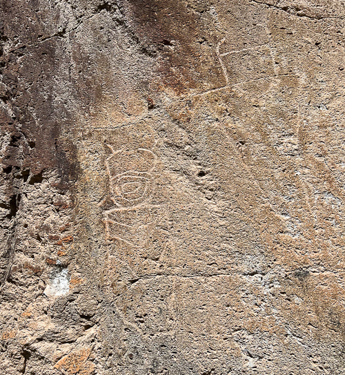
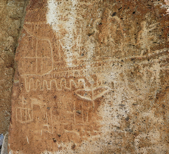
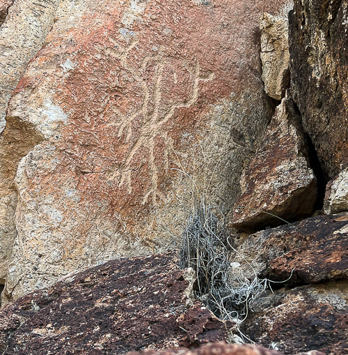
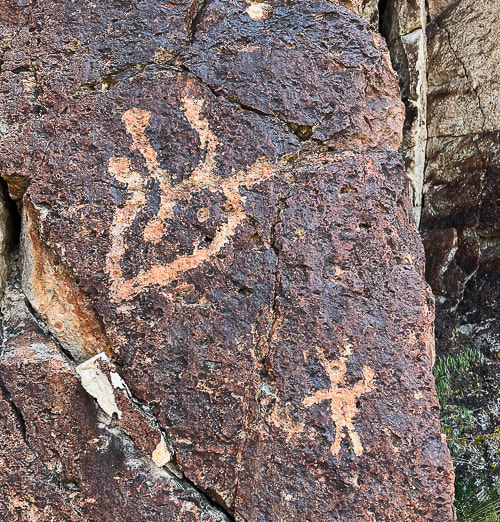
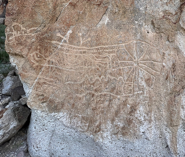
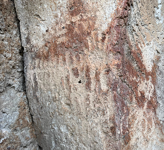
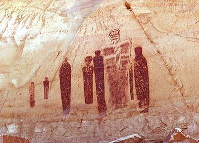
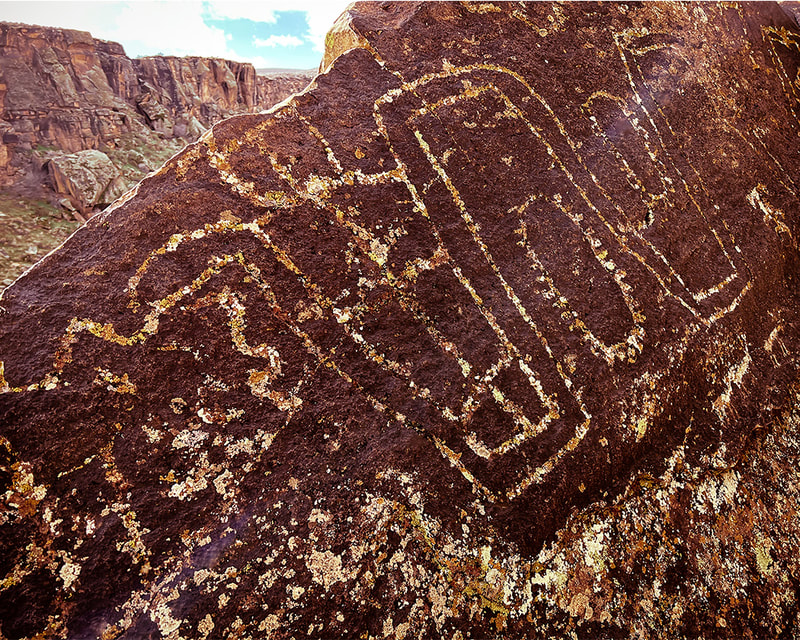
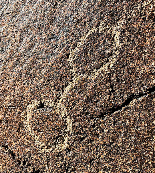
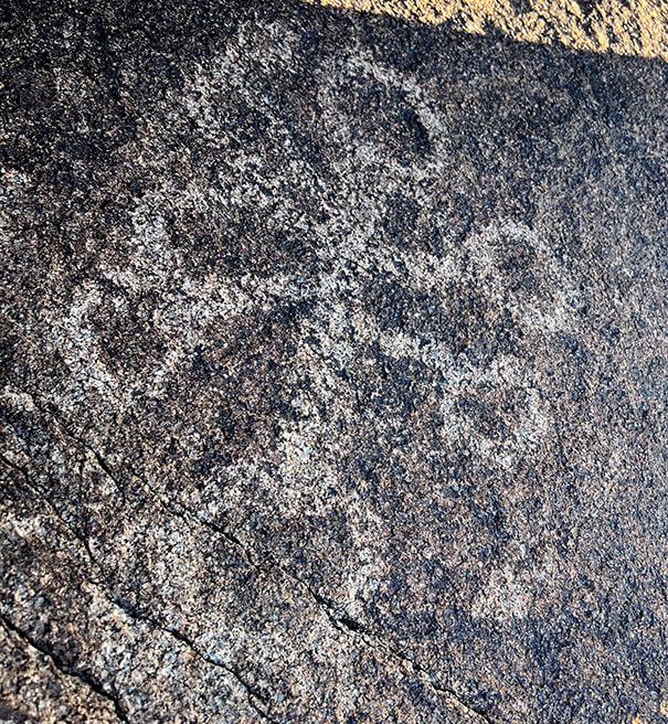
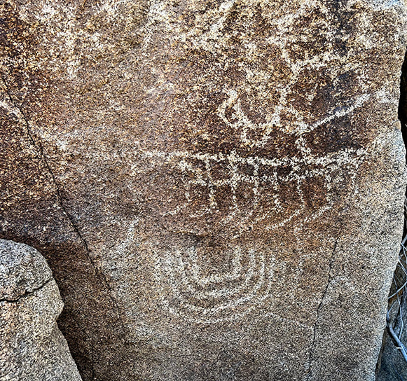
Deeply pecked abstract geometric petroglyphs from the Archaic culture (3,000 BCE) have been on this wall for so long that they are "re-patinated," or covered with dark desert varnish. Glen Canyon linear style anthropomorphs (resembling humans), and animals make up most of the glyphs. Bear paws and human feet march to the top of the slab. Ancestral Puebloans pecked bighorn sheep and broad-shouldered anthropomorphs during 1,000 BCE - 550 CE. We approached Neon Canyon from the Egypt trailhead along the "standard" trail which entailed three or four Escalante River crossings. BEWARE OF QUICKSAND when walking in low water levels. Our plan next time is to hike the Beeline route from Egypt trailhead to Golden Cathedral - this means only one river crossing near Neon Canyon entrance. With each Grand Staircase/Escalante visit, our list of places to explore expands as this spectacular ever-changing land seems to do. As I write this, I'm sitting in Las Vegas airport waiting for a Chicago flight. I keep thinking of the magnificent land of Grand Staircase-Escalante, feel a yearning to return to it. As its silty yellow and orange rivers flow, the scent of pine and juniper fill its air, and its landscape turns bright orange and vermillion with sunrises and sunsets, I wish I was there to see it. As always, so much to see and do, so little time.... Cosmic Ashtray Images 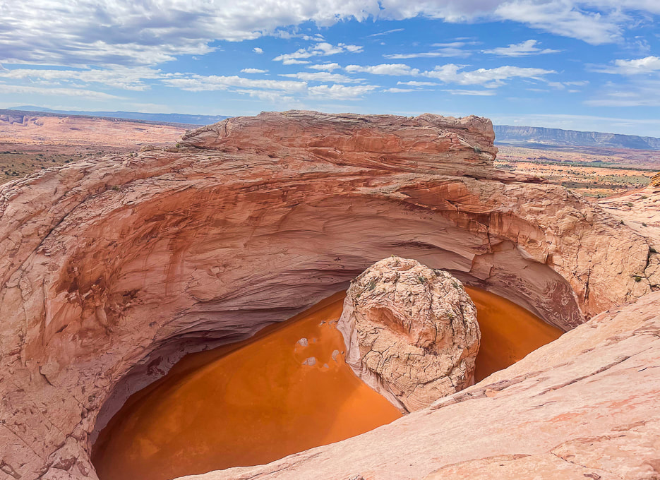 The "Cosmic Ashtray" is an inselberg pit (insel = island, berg = mountain in German). The orange sand blows in from remote places. The center pedestal is ~ 10 meters high. Climb knob 5847 to the north for a good view of its sand dune. photo by Fred Birnbaum 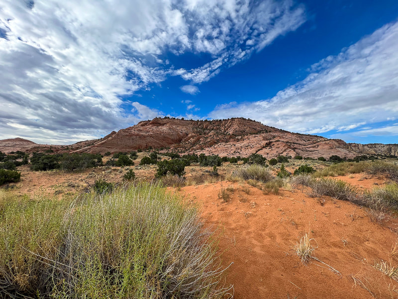 View of Red Breaks during first mile of hike. 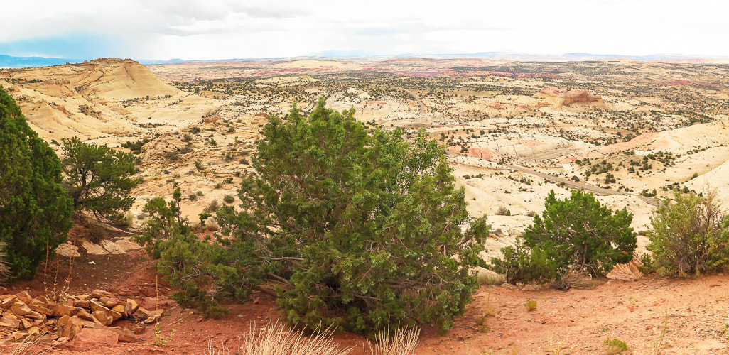 Vast juniper-dotted slickrock sea to the north. 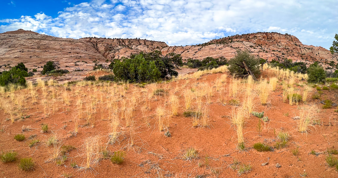 Indian Ricegrass haven and the Red Breaks. 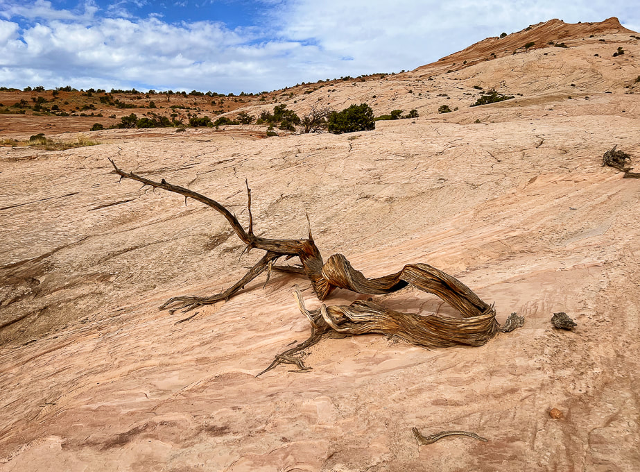 One beautiful reminder of life cycles in the slickrock desert. 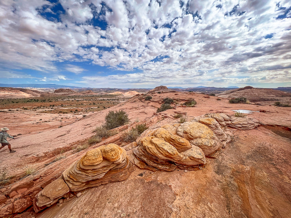 So many eroded Navajo sandstone features. Looking north toward flat "meadow." 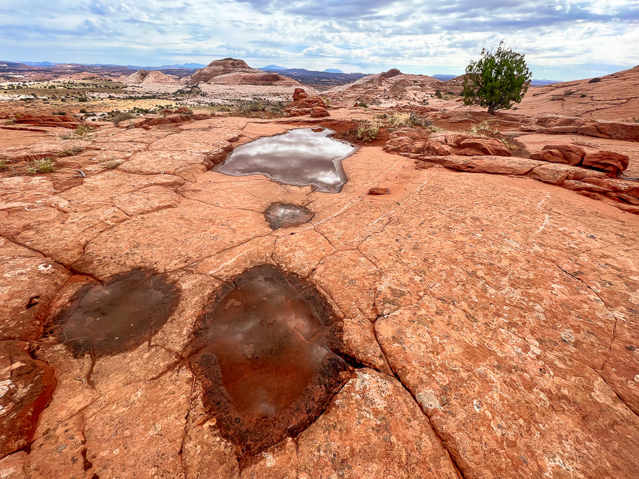 Potholes, tinajas, waterpockets, ephemeral pools are all names for these eroded sandstone depressions. 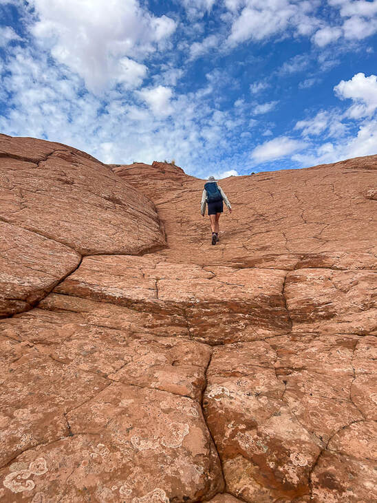 Following duck trail markers to the top of Point 5847 that looks directly into Cosmic Ashtray. The "unveiling" of Cosmic Ashtray, aka Inselberg Pit from Point 5847. 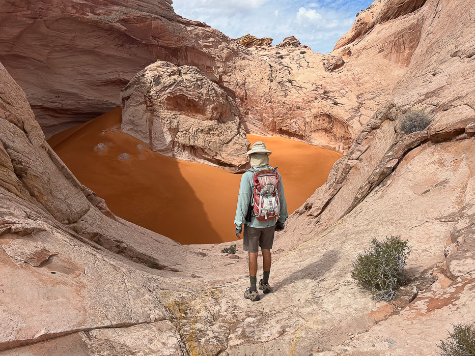
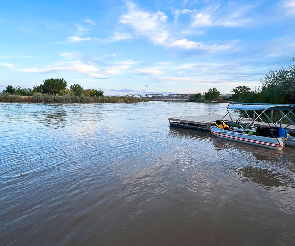
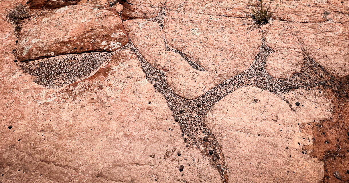 Moqui marbles and other weathered-out iron concretions making an interesting pattern. 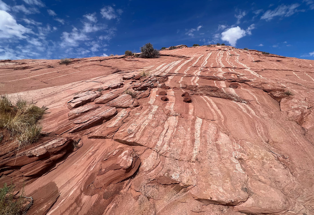 Movement of fluids through sandstones, especially Navajo Sandstone can create "bleaching" or removal of hematite (white bands). 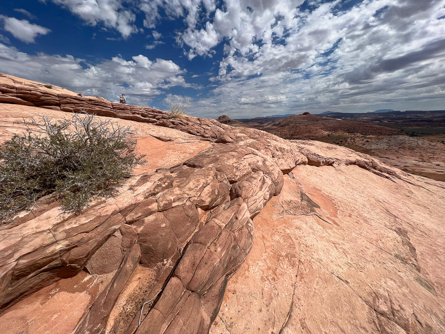 Neon Canyon/Escalante River Petroglyphs 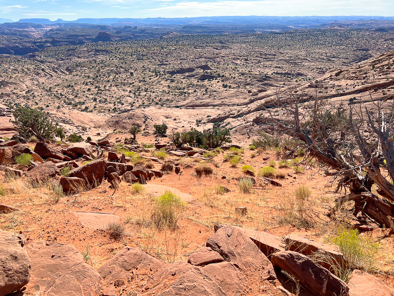 Looking down at "Egypt" from the trailhead. The route goes through alternating sand and slickrock. Aim toward the dark round dome upper left in photo - along the Escalante River. Neon Canyon's opening is at the base of this dome. I couldn't find the origin of the name "Egypt". This is an old stock route, so possibly an original rancher, upon seeing this wide, sandy bench said, "Sure the heck looks like Egypt!" 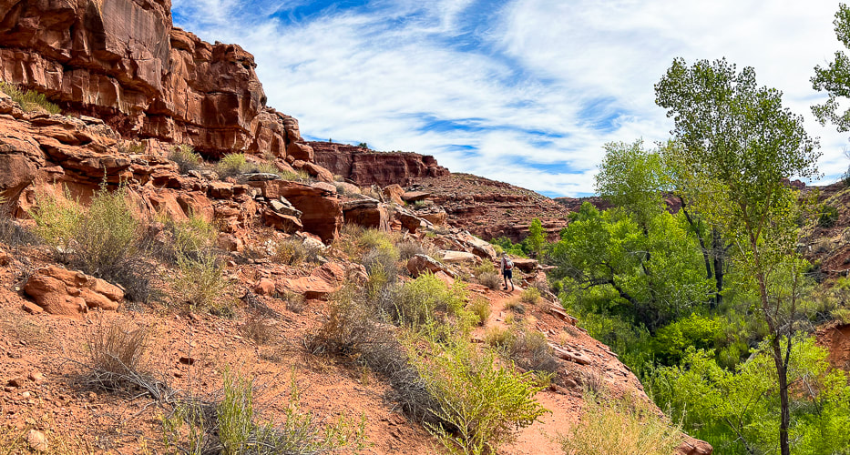 Walking from Egypt Bench into Fence Canyon, which empties into Escalante River. 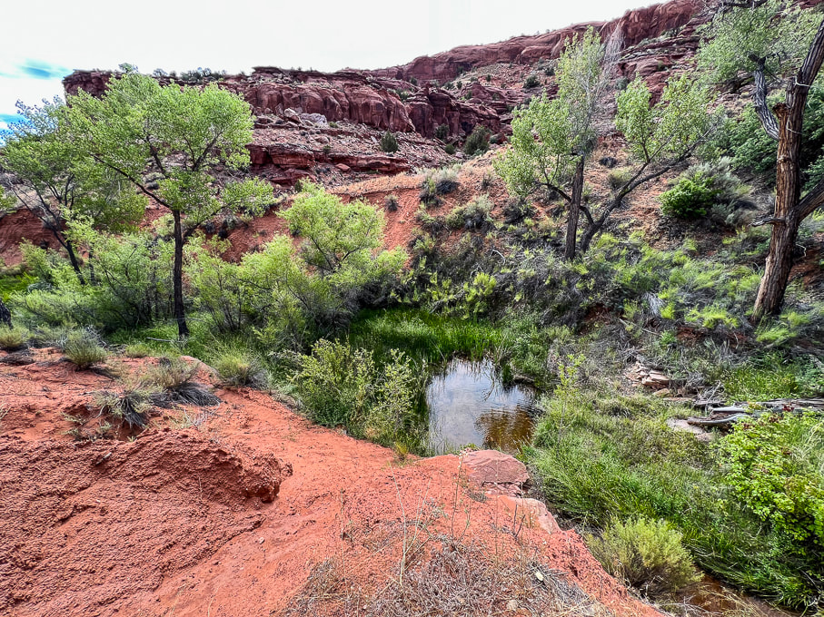 Dropping into Fence Canyon, where a short hike leads to Escalante River for a short river walk. 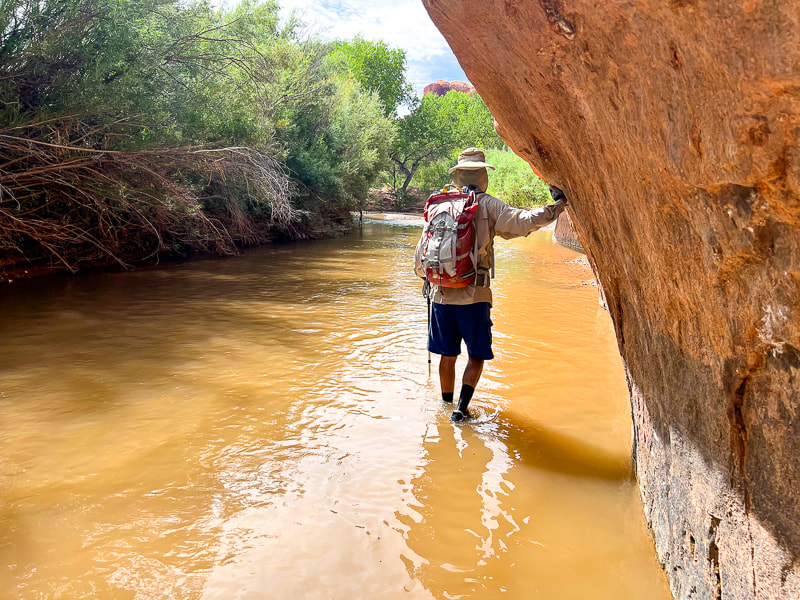 Short Escalante River wade before catching trail on right side of river. 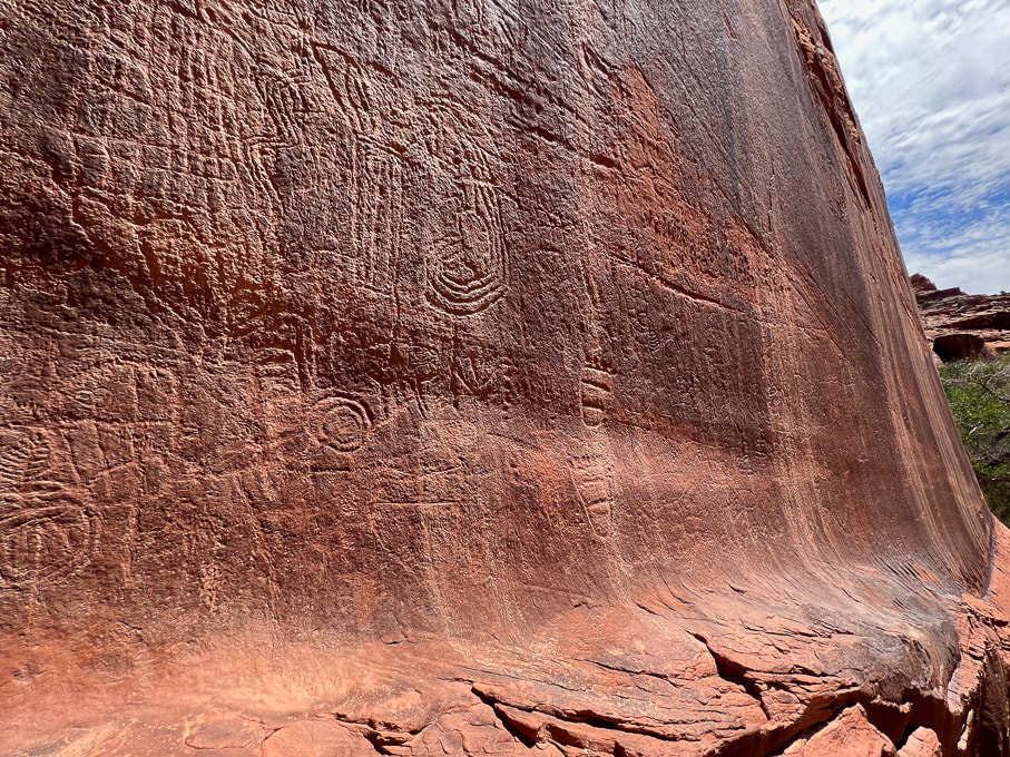 These abstract petroglyphs are more deeply incised and re-patinated (covered with desert varnish); they probably older than the anthropomorphic (representing humans) petroglyphs seen on left side of panel. 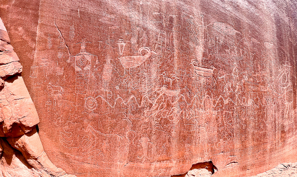 Lots of petroglyphs superimposed over older ones. Some of the more recent are from cowboy Charles Hall in 1881, who made his cursive signature under the undulating snake petroglyph. 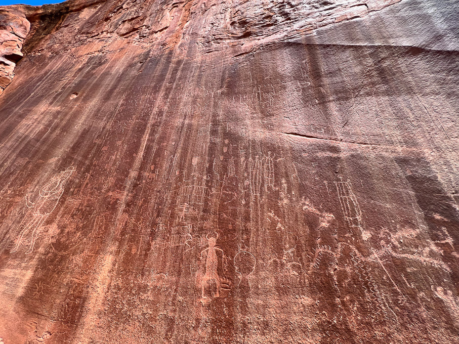 These petroglyphs are located toward the left part of the panel and are lighter (desert varnish has not fully re-covered them), so they are probably made more recently than the abstract, re-patinated images. 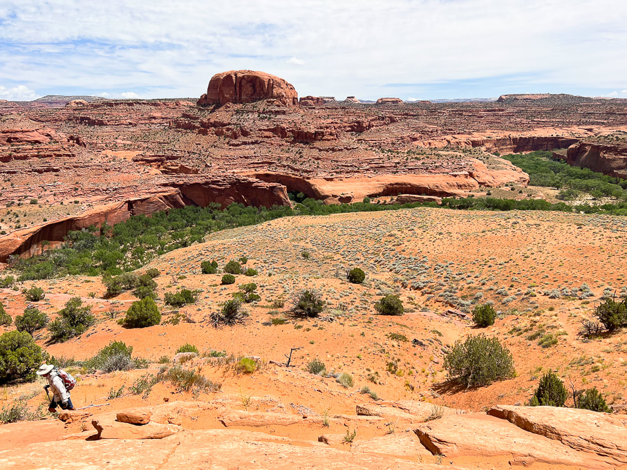 Hiking on Beeline Trail out of Escalante River, back to the trailhead. Petroglyph panel on left side of photo, Neon Canyon opening in notch below the round dome, aka Point 5,270'. 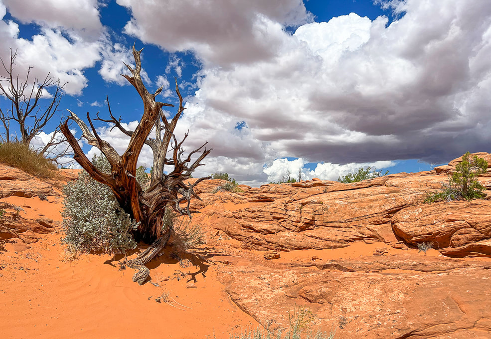 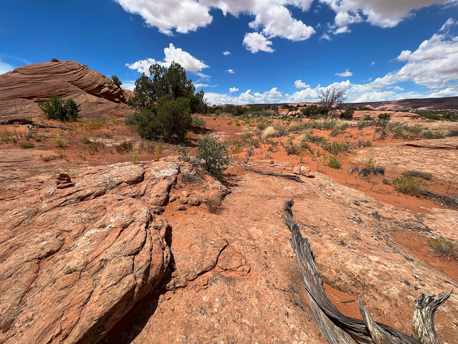 Duck (left) marking the Beeline Trail back to trailhead.
Related posts
4 Comments
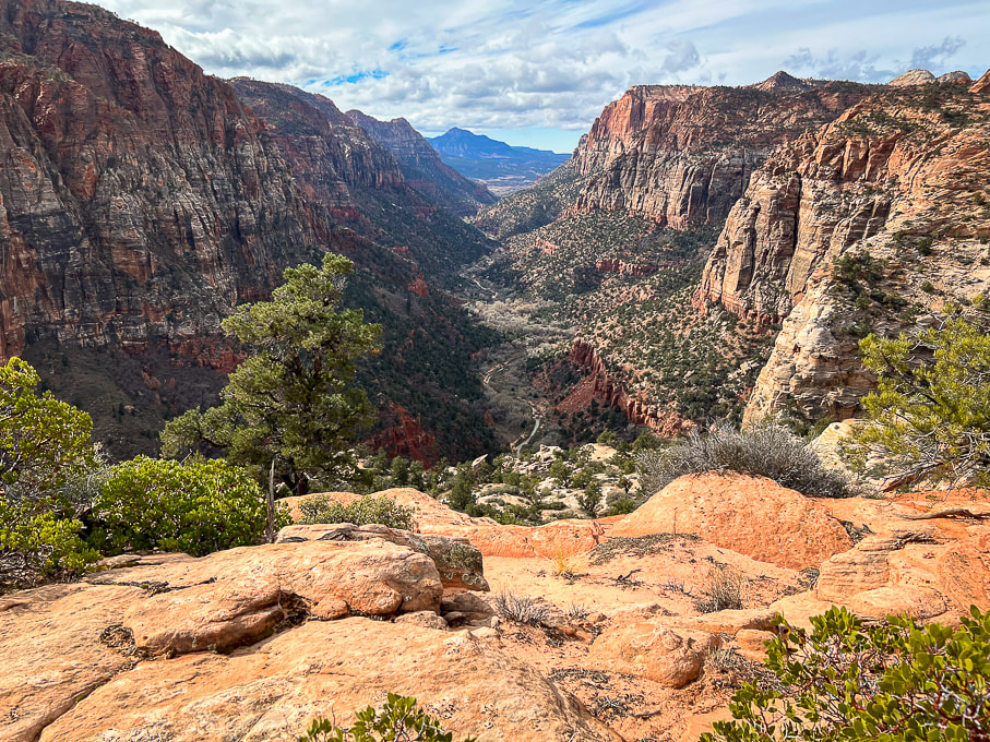
A memorable climb up a famous sandstone precipice with 1,000-foot drop-offs on either side of a narrow trail, and an up-close view of a California condor.
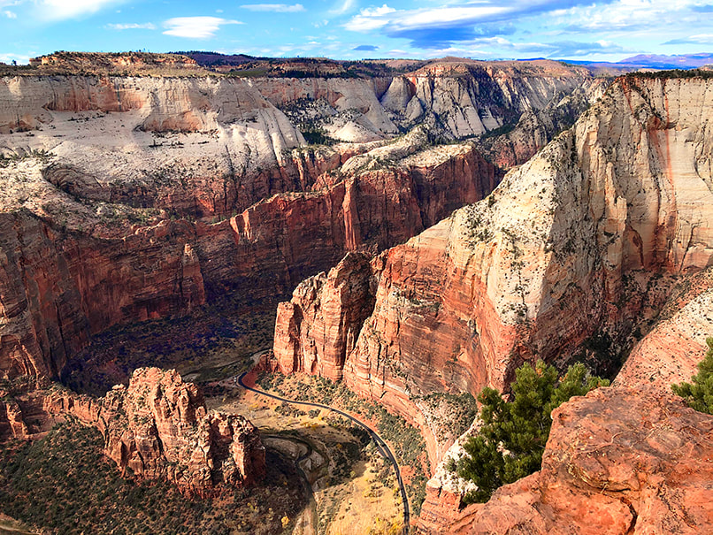
Trip Stats Overview: Begin on West Rim Trail from The Grotto at Zion Canyon shuttle stop #6; cross bridge over the Virgin River to access it. Walk along the Virgin River before climbing steep switchbacks that take you through Refrigerator Canyon. From here, work your way up short and steep Walter's Wiggles to Scout Lookout where a 0.4-mile spur trail extends over sandstone and straight up the ledges to Angels Landing. Distance/Elevation gain: 5.0 miles out and back/1,488' gain. Most recent date hiked: 7/06/23. Special Considerations: You must apply for permit via lottery system through recreation.gov. There are two check-point stations on the trail to verify your permit. Map: Trails Illustrated Map - Zion National Park #214 History: The 21 short and steep switchbacks leading to Scout Lookout were constructed by Walter Ruesch, the first Zion Park superintendent, in 1926. Geology: Angels Landing is a resistant fin of Jurassic age (~ 170 million years ago) Navajo Sandstone, carved by the North fork of the Virgin River. NPS link for permits Related Posts
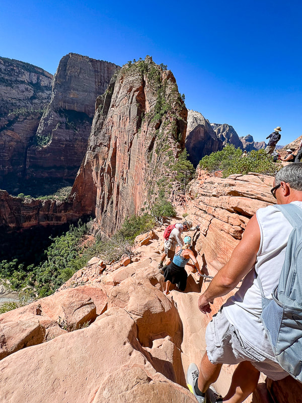
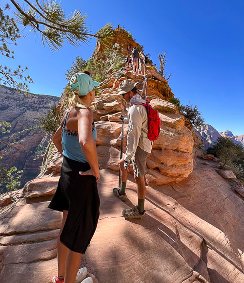
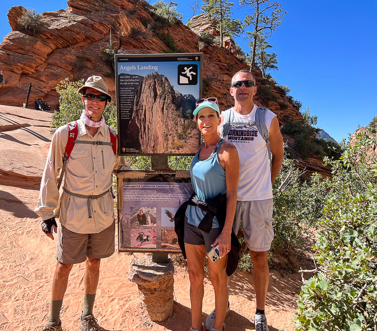
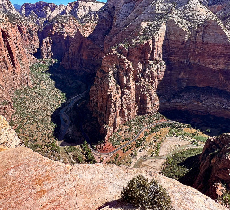
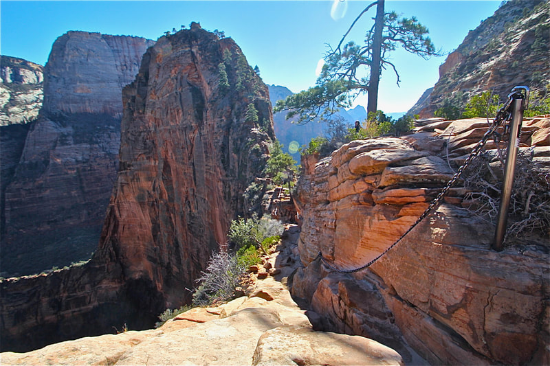
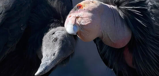
Described as "one of the most dangerous hikes in the country", and also "deadly", the hike to the precarious perch known as Angels Landing is in high demand. It looks impossible to climb, but it turns out that it isn't: 200,000 Angels Landing permits were issued in 2022, according to Zion National Park Service's website. As many as 1,000 hikers/day make the chained journey on worn sandstone to one of the most coveted and iconic views in the country - a 360-degree view of Zion Canyon. Actually, this hike is not as scary as it looks. The first time I hiked Angels Landing was 30 years ago, on a trip with the Coachella Valley Hiking Club. It held a certain mystique and peril among my fellow hikers. Back then, the chains that you hold onto for balance on the dizzying heights were thinner and it seems like there were less of them. I've hiked it a few more times since then, and hinted that it was not for those afraid of heights in a post I wrote a few years back: Angels Landing: Not for the Faint of Heart. Two years ago my sister from Omaha, Nebraska gave Angels Landing a try. She, Fred and I set out to conquer this beast. Just about everyone who arrives at Scout Lookout to gaze upon this narrow fin of sandstone towering 1,500 feet over Zion Canyon floor has to wonder how the heck they'll get to the top. Not having any experience with this kind of hiking, she made commendable progress to Angel's base, where the first drop-offs and slick rock test your resolve, but when we got to the vertical climb, the intimidating precipice got the best of Jen, so we didn't summit. Back in Omaha, she vowed that one day soon she would conquer Angels Landing. So she did. Pretty easily, I might add, with my brother-in-law Ray, coaching her from behind, and Fred leading the way. Our permits through recreation.gov allowed us to be at the permit checkpoint by 9:00 am. This July morning was perfect - just the right temperature and no clouds. By the time we descended, however, the trail was getting too crowded; but patience, good spirits and comradery worked well to get everyone up and down safely. Almost like a celebration. Now, I'm not surprised my sister made it this time. She's a conquerer, a goal-setter and achiever, not a person to sidestep challenges. Just do it. This was the best Angels Landing hike by far. I wouldn't have predicted, thirty years ago, when I was a beginning hiker, that I would be experiencing this with my sis and bro-in-law. But I did, and that is awesome! Years go by so fast and most things in life are unpredictable. Another "conquer" of sorts was when she and I finished a Spartan Sprint challenge in Boise a few years ago (we've got photos on my Fit After 50 page). As a bonus, we saw what I believe to be a California condor. It was a big black hulk of feathers with a small head, perched on gnarled pine tree branches on the summit. This one appeared to be a juvenile because of its black head - adults have a vibrant pink and orange-colored head. The photo below shows that condors have thick pointed ruff feathers that they raise to warm their necks in cold temperatures. The number of California condors plummeted to only 22 by the 1980's. In 1967, they were listed as an endangered species. Captive breeding has helped increase their numbers. We were pretty lucky to get our Angels Landing permits - apparently only 43% of applications are awarded. The lottery system to apply for permits began in 2022. As a great add-on to this already stellar experience, I recommend continuing to hike up the West Rim Trail past Scout Lookout; the views, in my opinion, are even more spectacular as you climb higher. Thanks for visiting. Keep on Moving - Keep on Exploring! California Condor 2022 Population Status
Total World Population = 561 (total captive = 214, total wild = 347). The Arizona/Utah flock has the largest number of California condors at 116 with 4 wild fledglings. There's also flocks in Southern, Central and Baja California. Numbers got as low as 22 birds in the 1980's. Condors today still die of lead poisoning, consuming litter and microtrash, and electrocution from power lines. Sources: National Park Service: All About Condors, World CA Condor Update 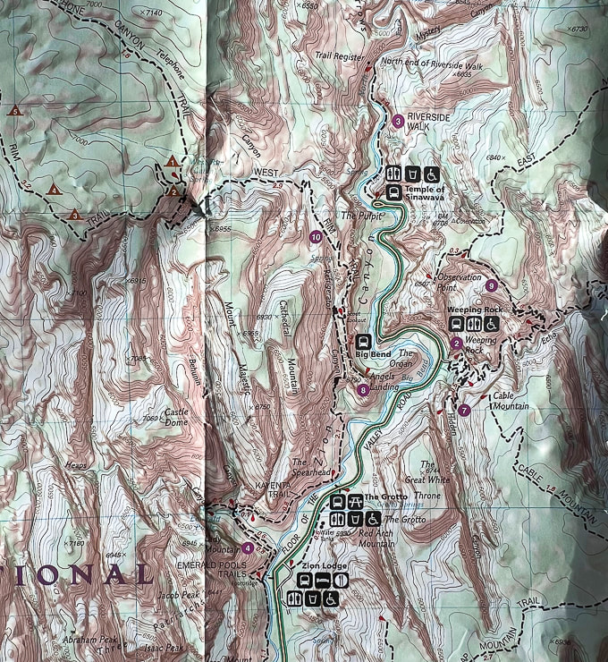 Partial topo map of Zion NP. Angels Landing hike begins across the Floor of the Valley Road from the Grotto on West Rim Trail. Hike north for 2.1 miles to arrive at Scout Lookout, where a 0.4 mile spur trail goes south to the top of Angels Landing.  Fred , Jen and Ray starting the switchbacks out of Zion Canyon floor. Angels Landing above! 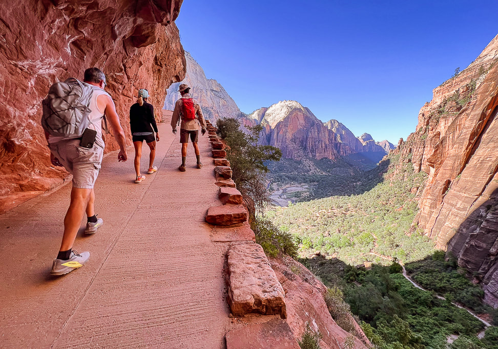 Switchbacks up to Refrigerator Canyon and Walter's Wiggles. Zion Canyon floor below. 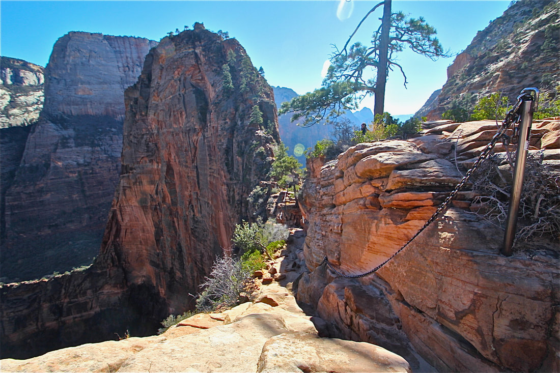 I took this photo on another Angels Landing climb....when it was not as well-traveled. 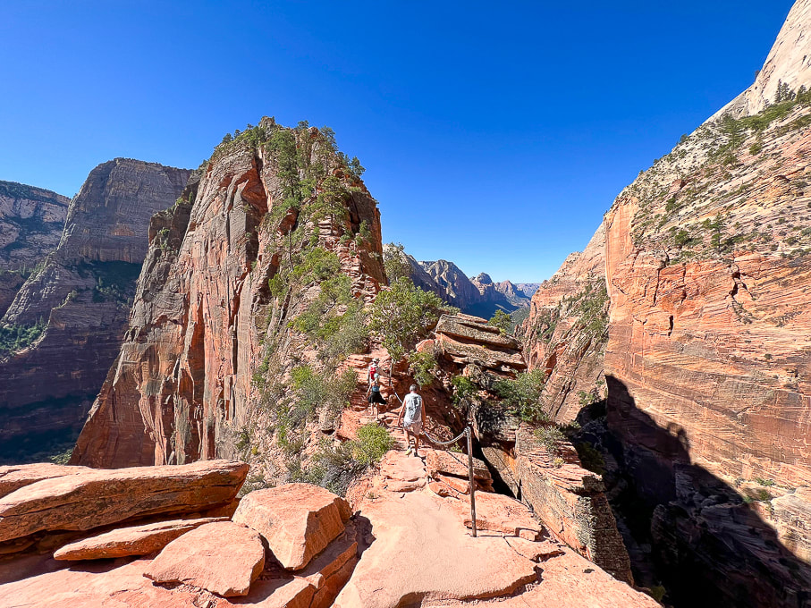 Not scary at all! Angels Landing. 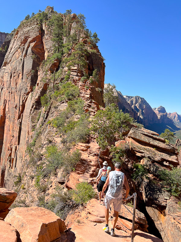 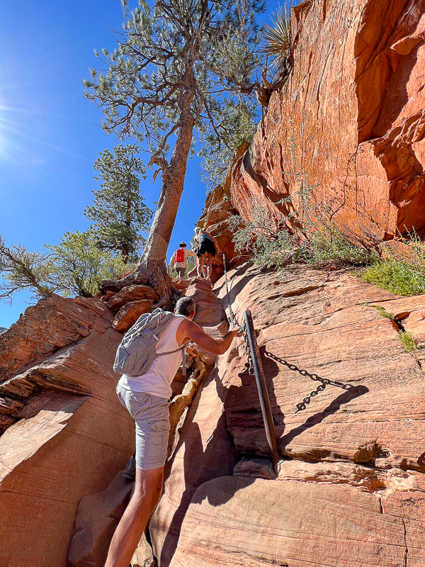 A bit of easy Class 3 climbing. 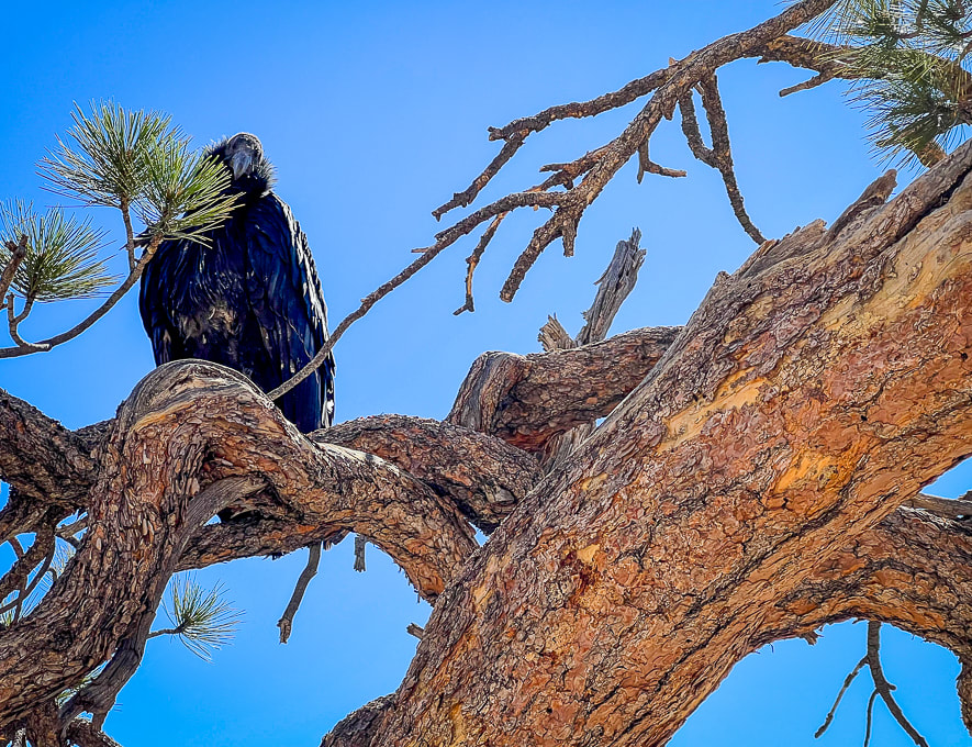 Probably a juvenile California condor near the summit of Angels Landing. I read that these are very curious birds. 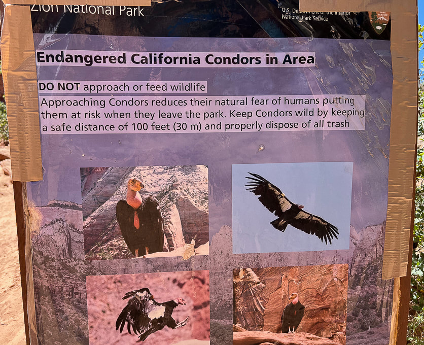 At the base of Angels Landing near Scout Lookout. 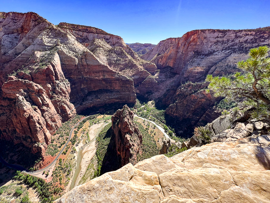 Looking down on Virgin River, the erosive force that created the narrow fin of sandstone known as Angels Landing. 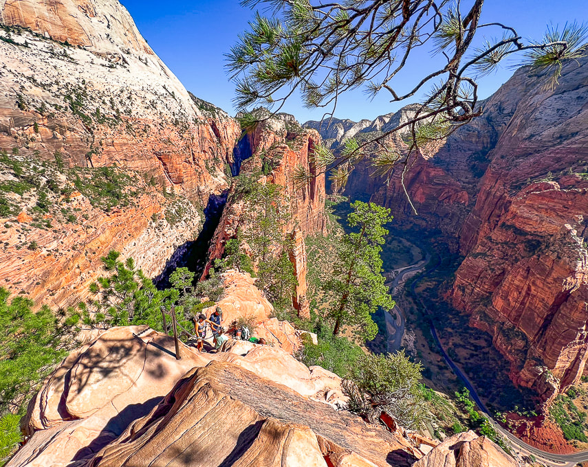 Really is a great feeling of lightness when you are on Angels Landing. 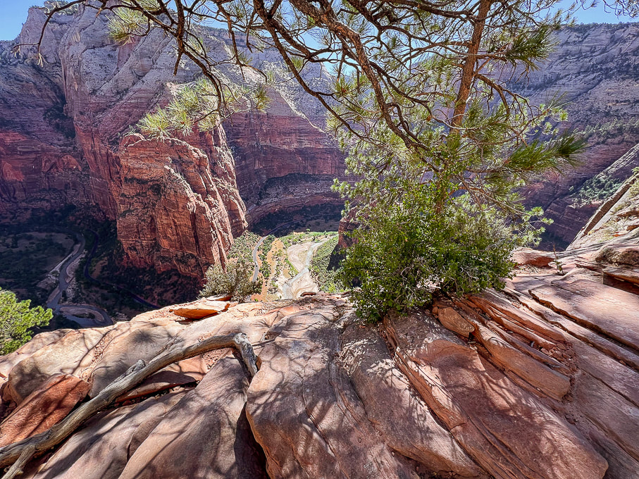 Virgin River below. 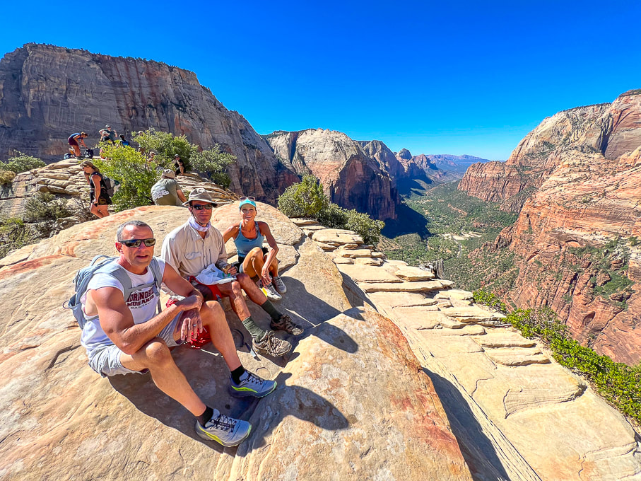 Ray, Fred and Jen on top of Angels Landing! Perfect day. 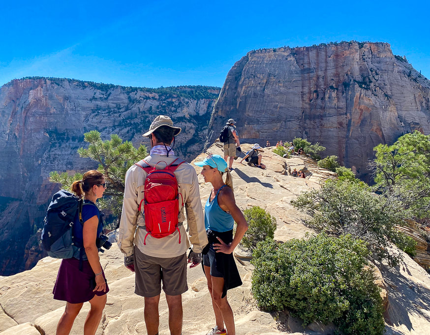 Half of the fun of this hike is talking to people at the top! The Great White Throne towers in the background. 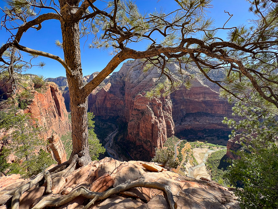 From Angels Landing looking at Big Bend. 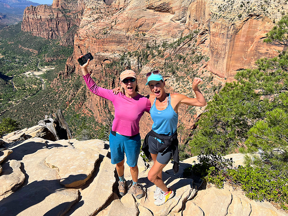 Two awesome sisters! (I tried to Photoshop the phone out of my hand......too much work!) 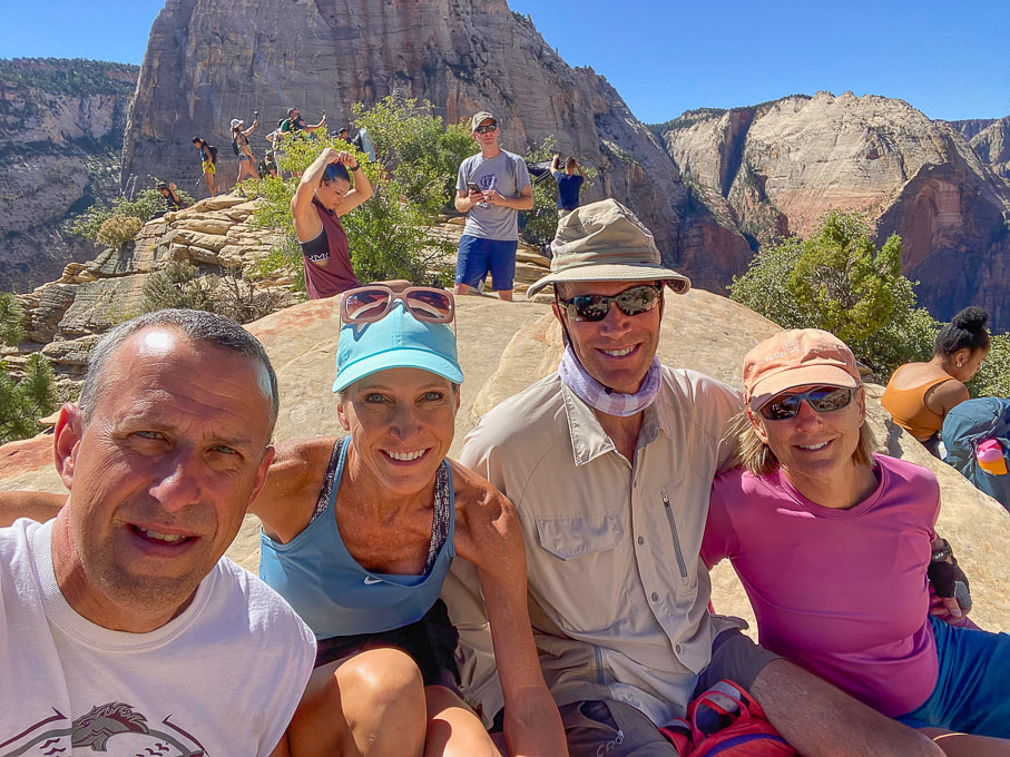 Ray, Jen, Fred, and Sue on Angels Landing - piece of cake! 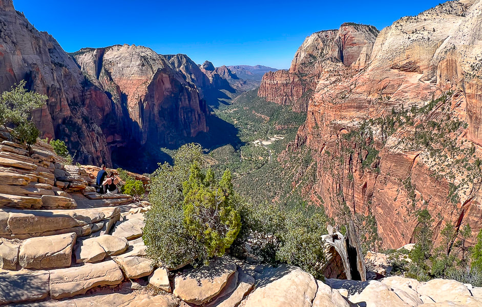 Top of Angels Landing looking down Zion Canyon. 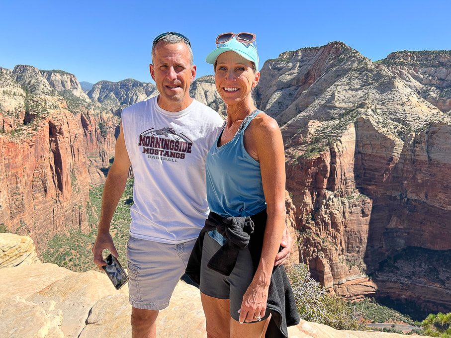 Ray and Jen - these guys made it look easy! 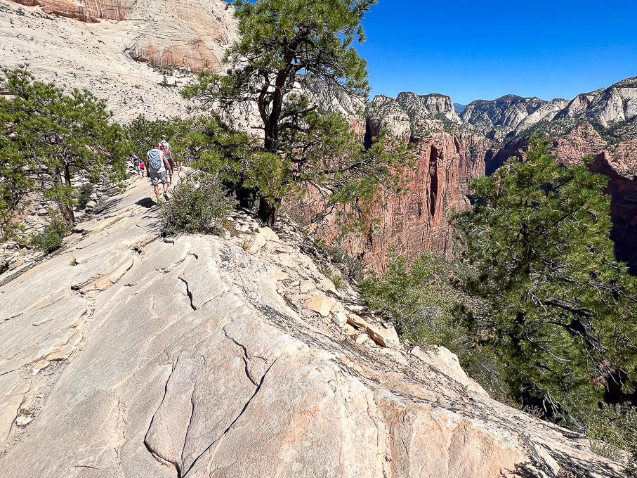 Heading back down this beautiful Navajo Sandstone. 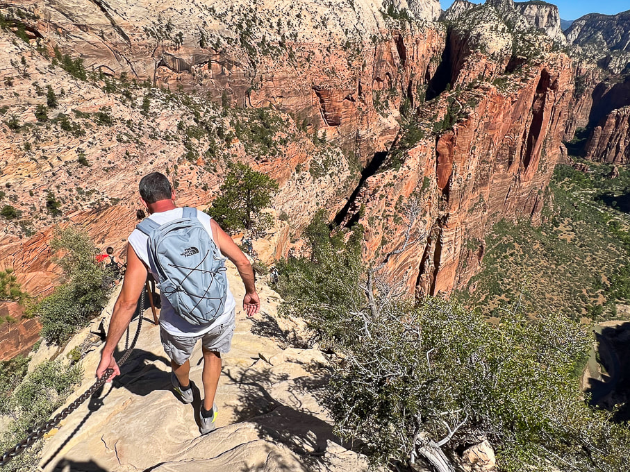 West Rim Trail winds up on top of the vertical sandstone slab upper right in photo. I highly recommend continuing north up this trail. 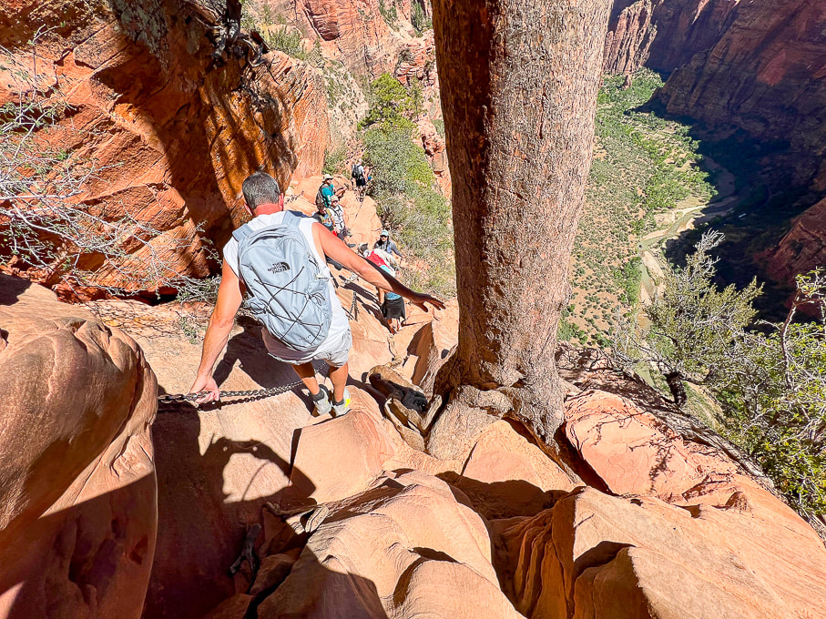 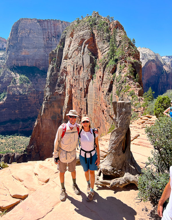 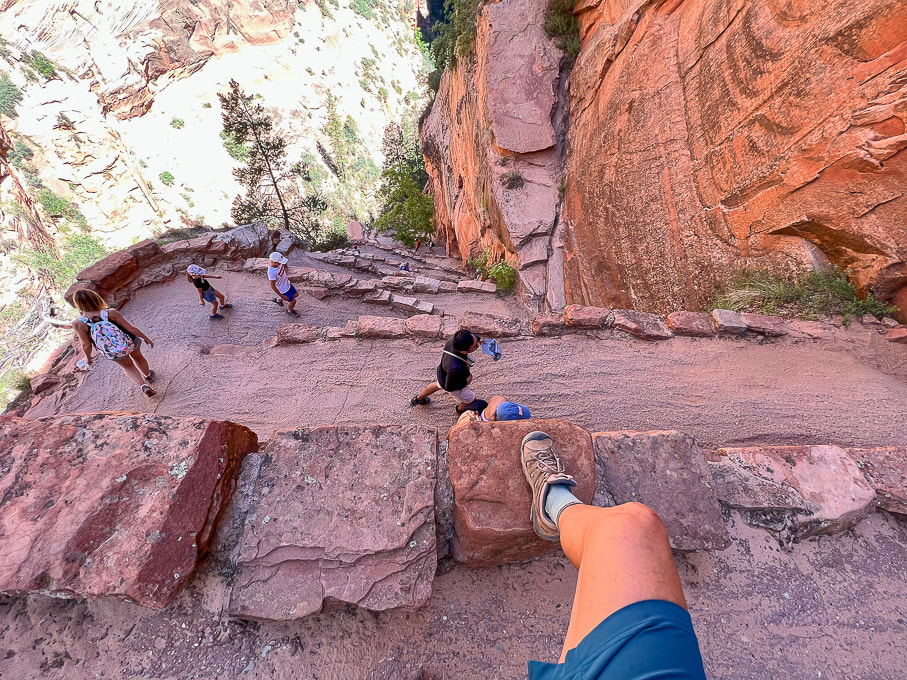 Walter's Wiggles and Refrigerator Canyon below. 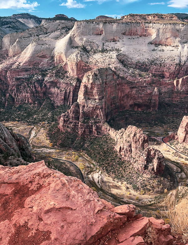 View of Angels Landing (center) and Floor of the Valley Road from Cable Mountain. 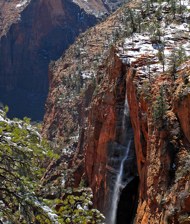 From West Rim Trail - waterfall after snowstorm. References
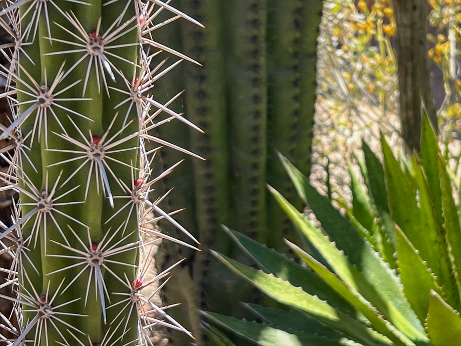
California Condors. National Park Service website. Become immersed in classic Tucson Sonoran Desert landscape, passing through three life-zones on a long hike to a small, refreshing waterfall, and tour the great DeGrazia Gallery In the Sun Museum. 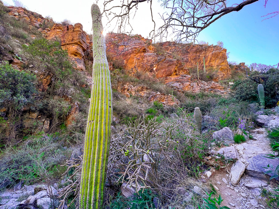 Desert scrub biome on the lower Esperero Trail. Common plants in Sonoran desert scrub Biome of the Sonoran Desert include creosote, mesquite, palo verde, barrel cactus, agave, prickly pear and cholla cacti. Related Posts Trip Stats
Location: Coronado National Forest, Santa Catalina Mountains, Pusch Ridge Wilderness, Tucson, Sabino Canyon Recreation Area. Distance/Elevation gain: 12 miles out and back/2,525'. Trailhead = 2,775', Bridalveil Falls = 5,300'. Difficulty/Trail # : Class 1 (defined trail) moderate effort - out and back. Overflow Parking Trail to Esperero Canyon Trail #25. Parking/trailhead: Sabino Canyon R.A. overflow parking. Map: Santa Catalina Mountains - Green Trails Maps #2886S Date Hiked: April 20, 2023. Dogs: Dogs are not allowed in the Sabino Canyon Rec. Area or the Pusch Ridge Wilderness. Links: Coronado National Forest - Esperero Trail DeGrazia Gallery in the Sun
One of the characteristics I look forward to with Tucson hiking is the wide flora variety and diversity. Along this 2,500-foot gain, Esperero Trail passes through three biomes, or habitats identified by their dominant life forms: Sonoran desert scrub, desert grassland, and Madrean evergreen woodland. The most obvious change happens after the steep climb to Cardiac Gap, at 4,400 feet, when saguaros and creosote have given way to oaks and grass. We arrived at Esperero Canyon's Bridalveil Falls after six miles of warm hiking and enjoyed the cold water dripping and spraying off the rocks. The falls must look like a veil during run-off after a storm, but at the end of April, they were reduced to small rivulets. The canyon here is wildly picturesque with huge rounded and dike-streaked boulders, pinyon pines and oaks, wildflowers and towering rock formations above. Yuccas are interspersed among junipers. If you keep climbing up-canyon, in another mile, you reach Cathedral Rock Trail, which heads northeast. Esperero Trail continues west toward Window Peak. Our Hike We parked at the large overflow parking lot for Sabino Canyon Recreation Area and began walking southeast past trailhead signs. (However, there is a shorter trail from the north end of the overflow lot; it heads north to meet up with Esperero Trail, avoiding the picnic area). The mileage that follows is from the trail that we took.
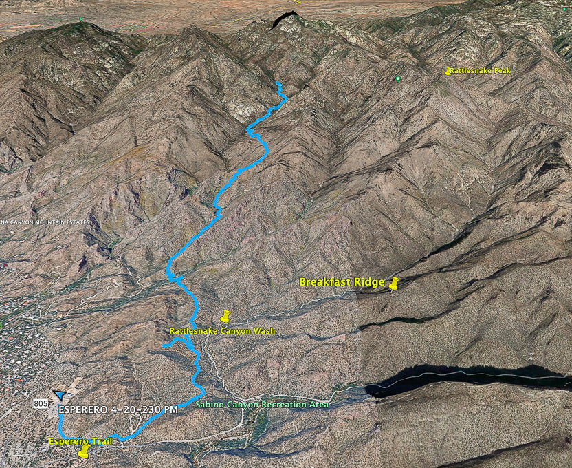 Google Earth image of our tracks beginning at Sabino Canyon Rec. Area overflow parking (lower left) and traveling up Esperero Canyon to its end at Bridalveil Falls. Topo map and elevation profile at end of post 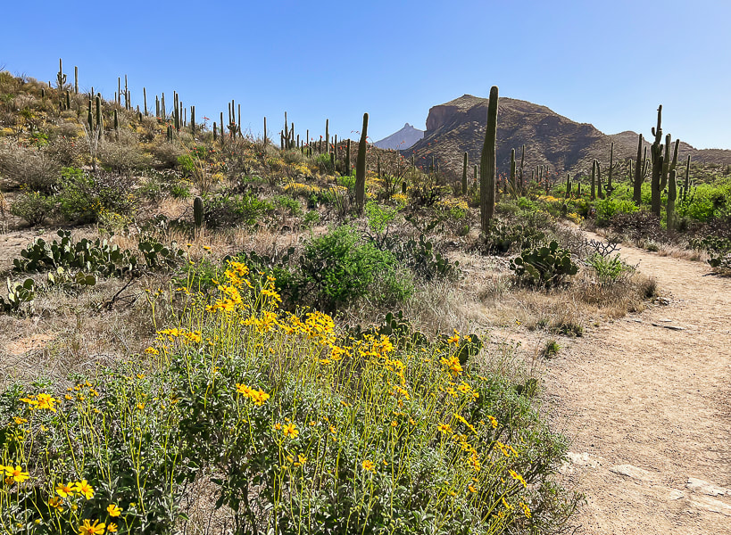 Starting from Sabino Canyon Rec. Area overflow parking onto trail that links to Esperero Trail. Thimble Peak on the far horizon. 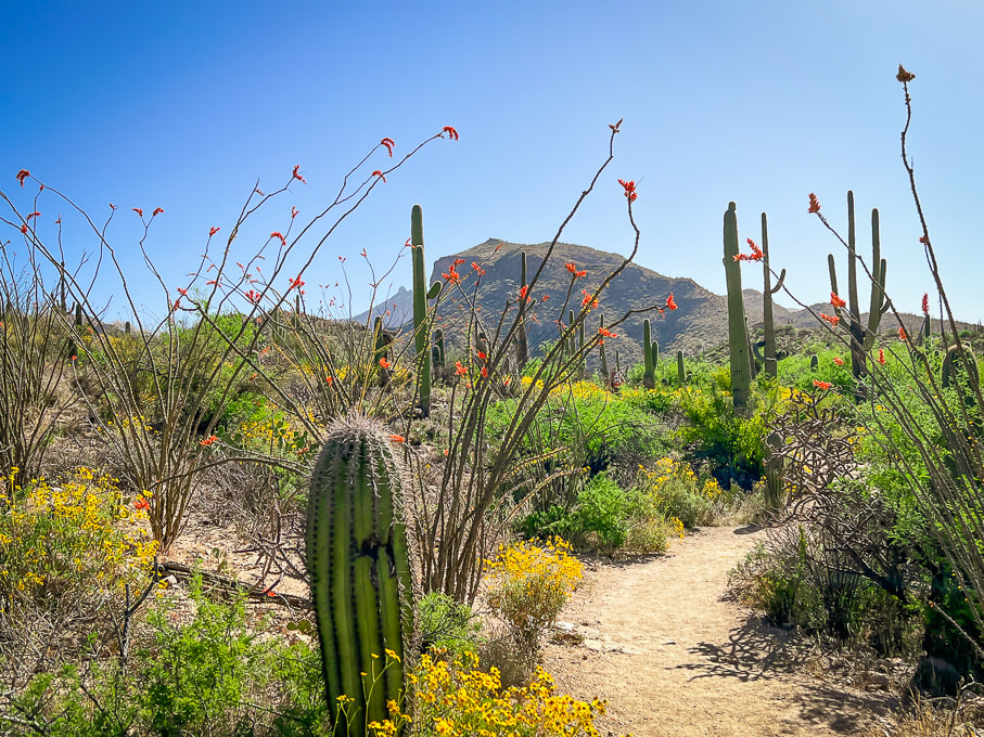 Continuing on Overflow Parking Trail toward Cactus Picnic Area, where it meets with Esperero Trail. 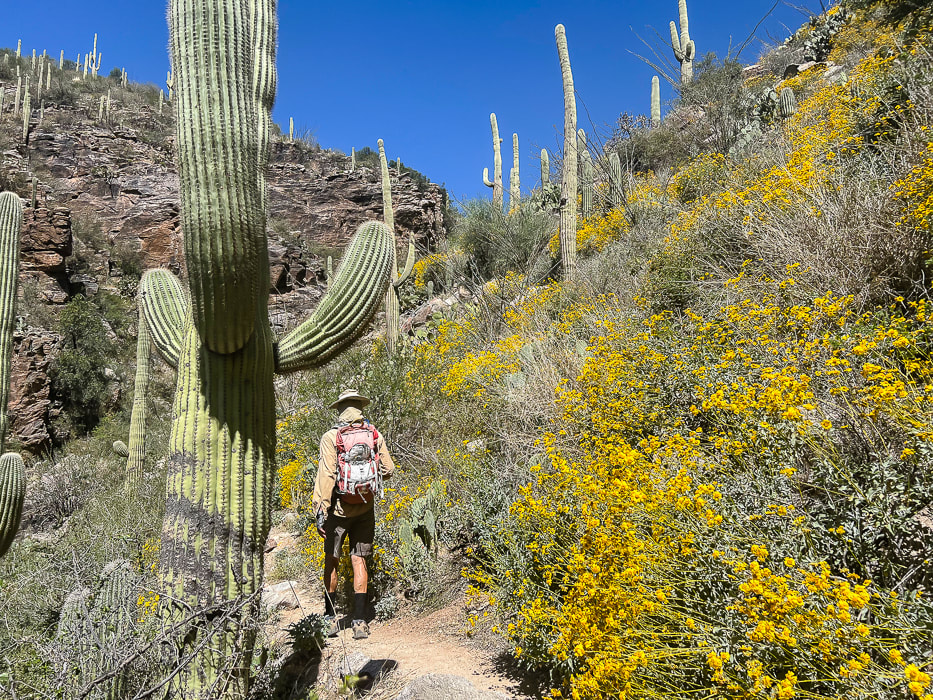 Esperero Trail beauty in April. 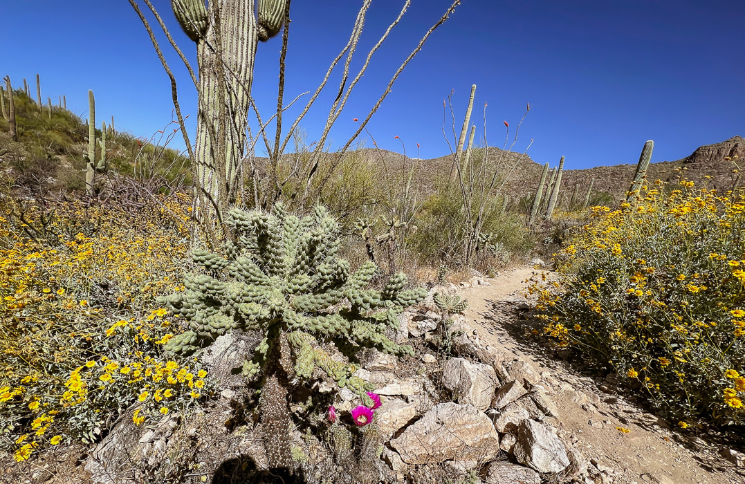 Brittlebush (yellow), hedgehog (magenta), cholla, ocotillo. 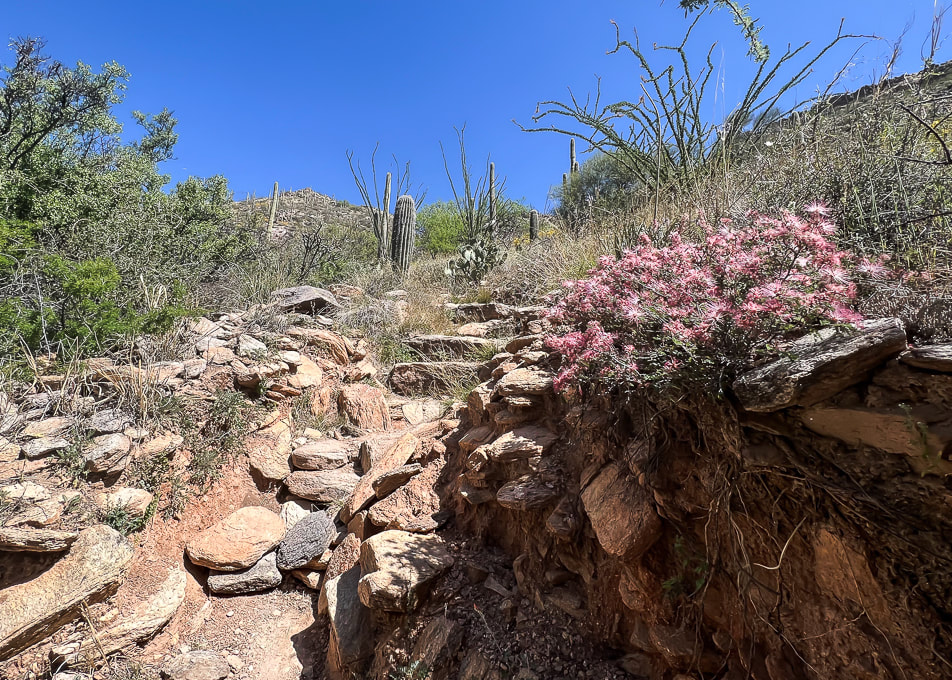 Pink fairyduster along the rocky trail. 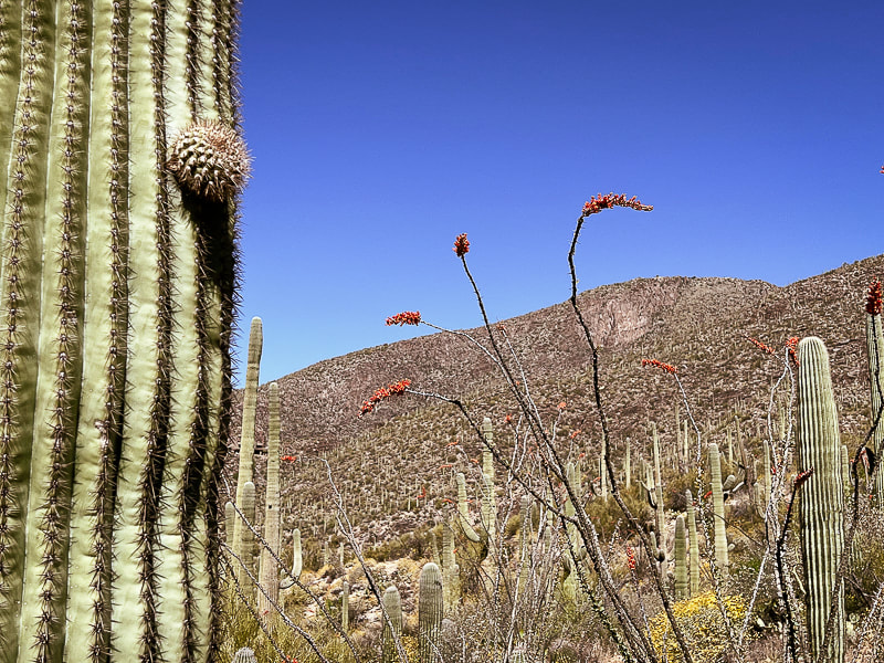 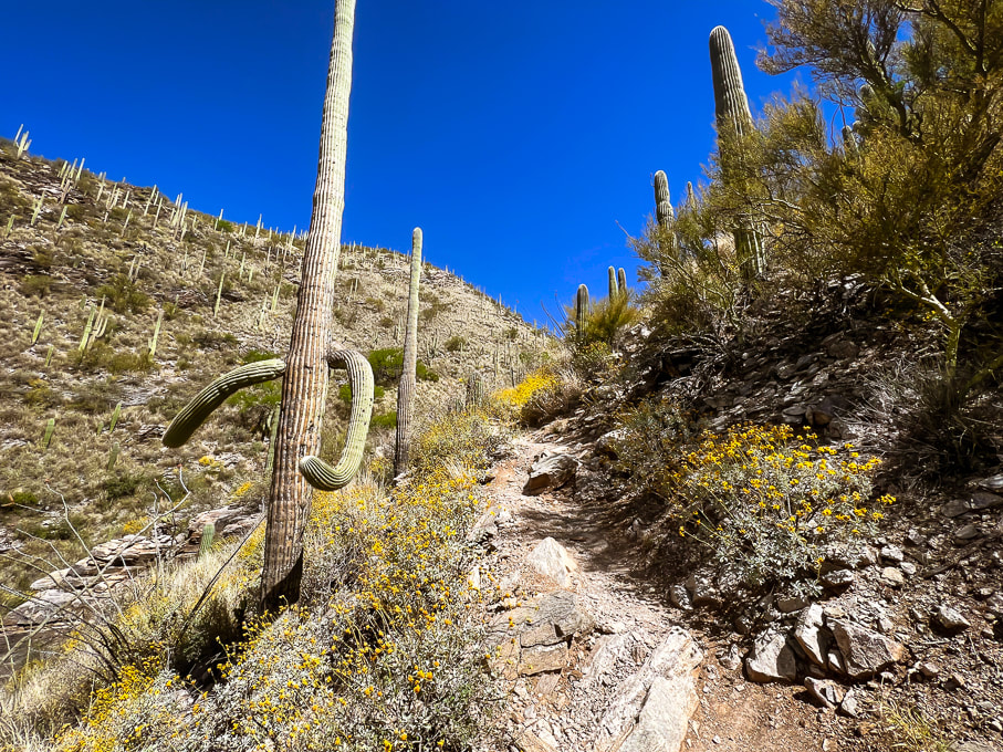 Esperero Trail beginning to steepen. This trail stays narrow all the way up into Esperero Canyon. 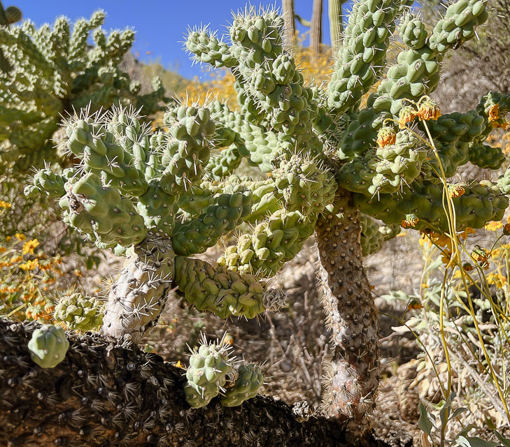 Cholla cactus 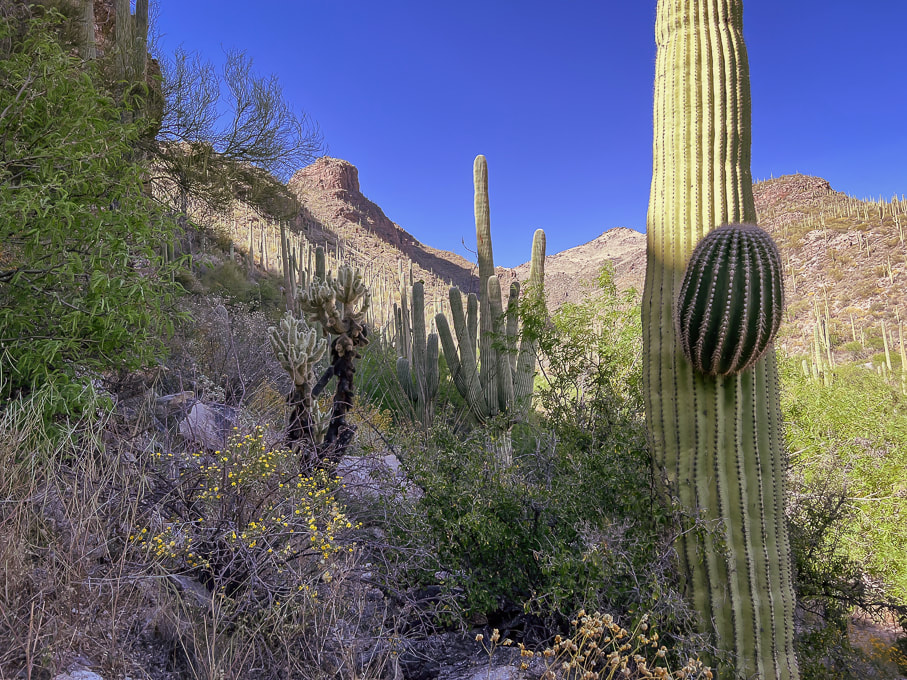 Heading up toward Cardiac Gap. 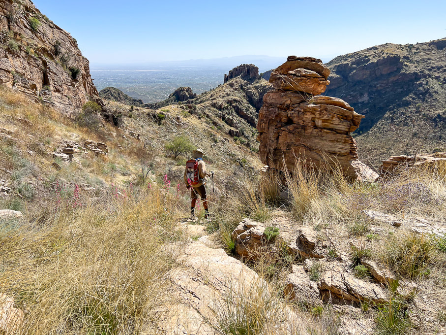 Looking back at Cardiac Gap (saddle) that overlooks Tucson. 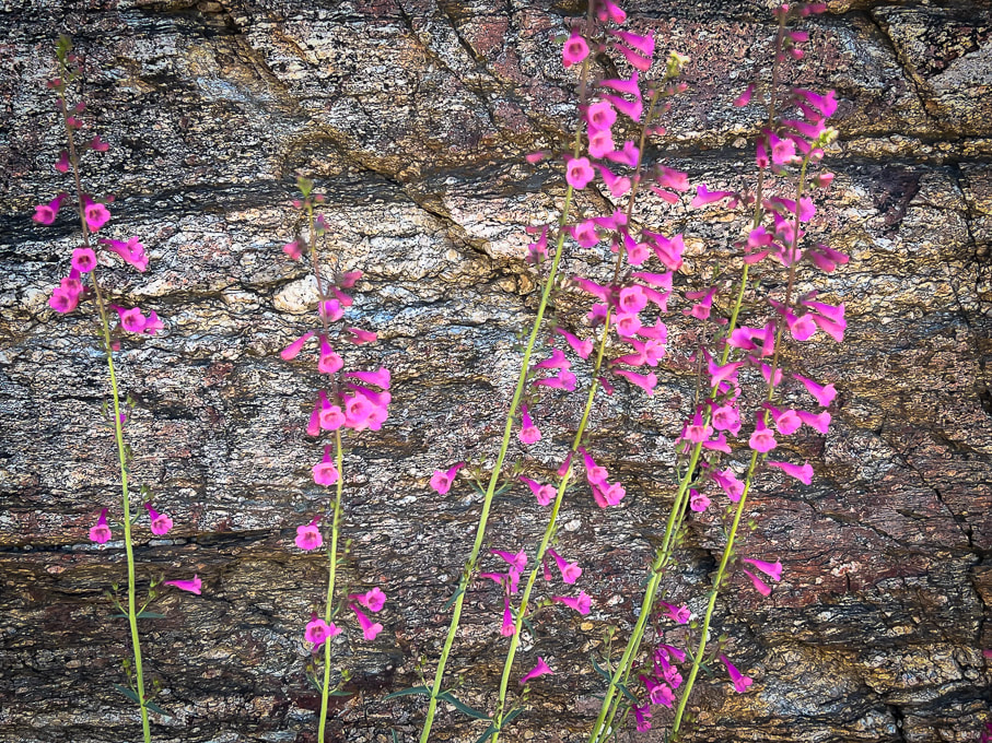 Parry's penstemon provides splashes of color in the semi-desert grassland life zone. 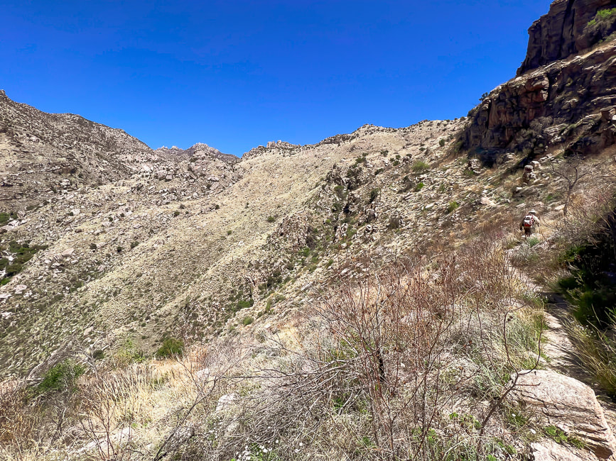 View from Cardiac Gap northward: Esperero Trail (Fred walking up on right side) stays high over Esperero Canyon as it travels through grassland for one mile before it drops down into the floor of the canyon. 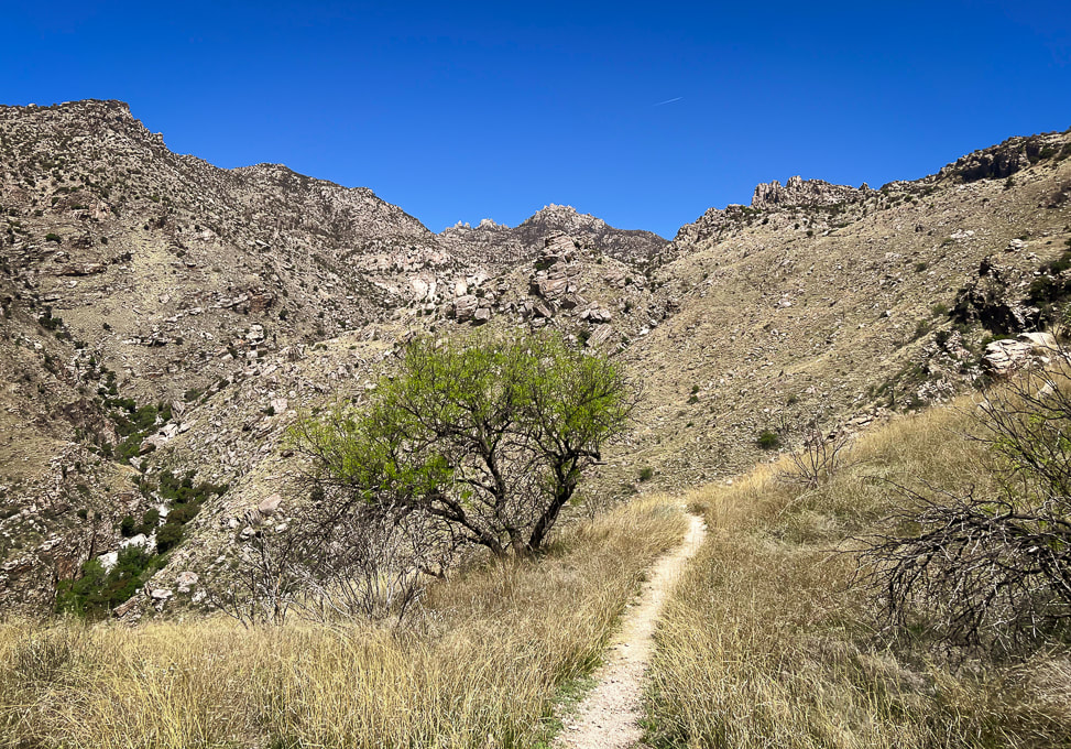 Approaching the drop into the floor of Esperero Canyon to the left. 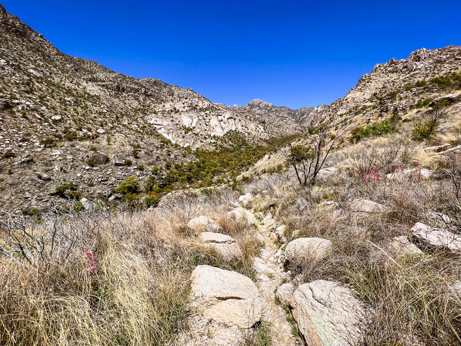 Near the drop-in point of Esperero Canyon. 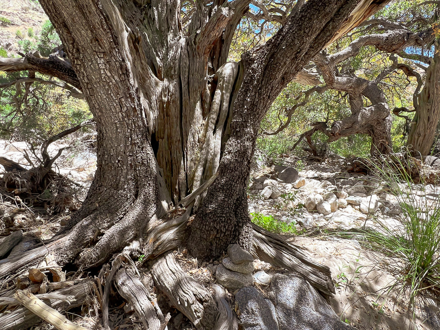 HUGE alligator juniper in Esperero Canyon. Notice the cairn at its foot marking the trail as it weaves through white sand in the Madrean Woodland life zone. Common species in this life zone are Emory, Mexican Blue, Arizona and silverleaf oaks. Pines include Mexican pinyon and Apache pines. Agaves, manzanita, and bear grass make up some of the subcanopy. 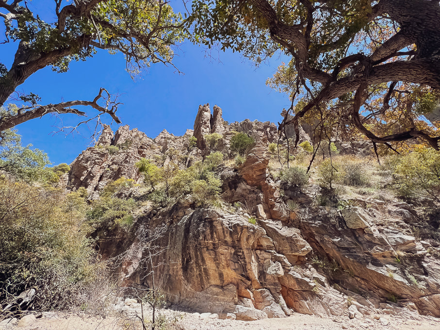 Looking at rock formations above from the floor of Esperero Canyon. 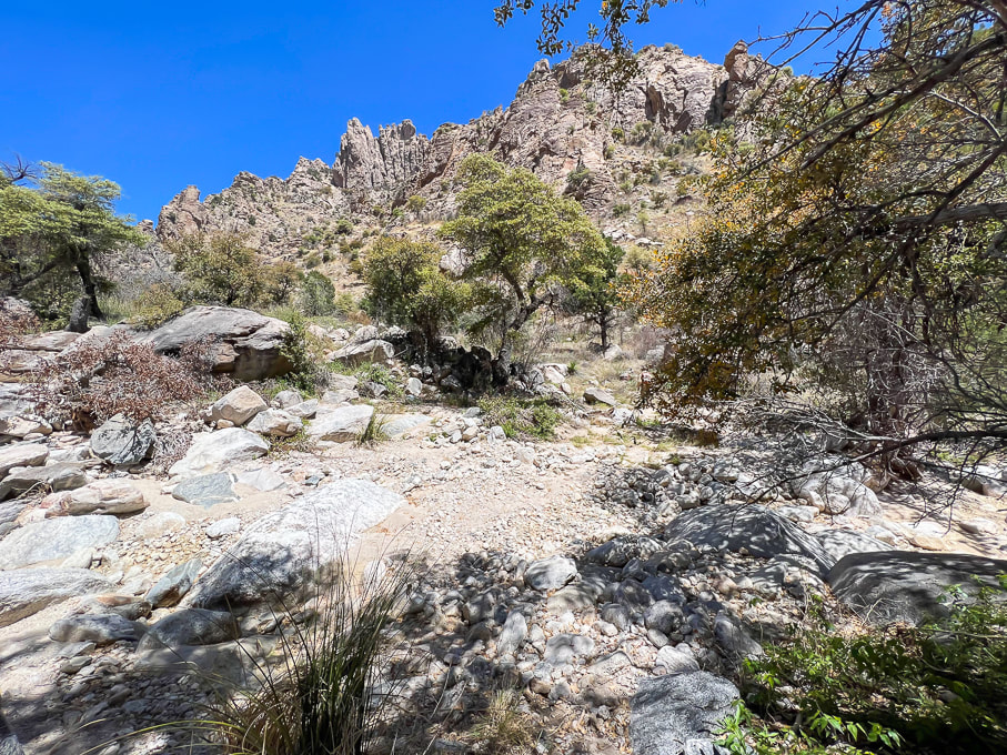 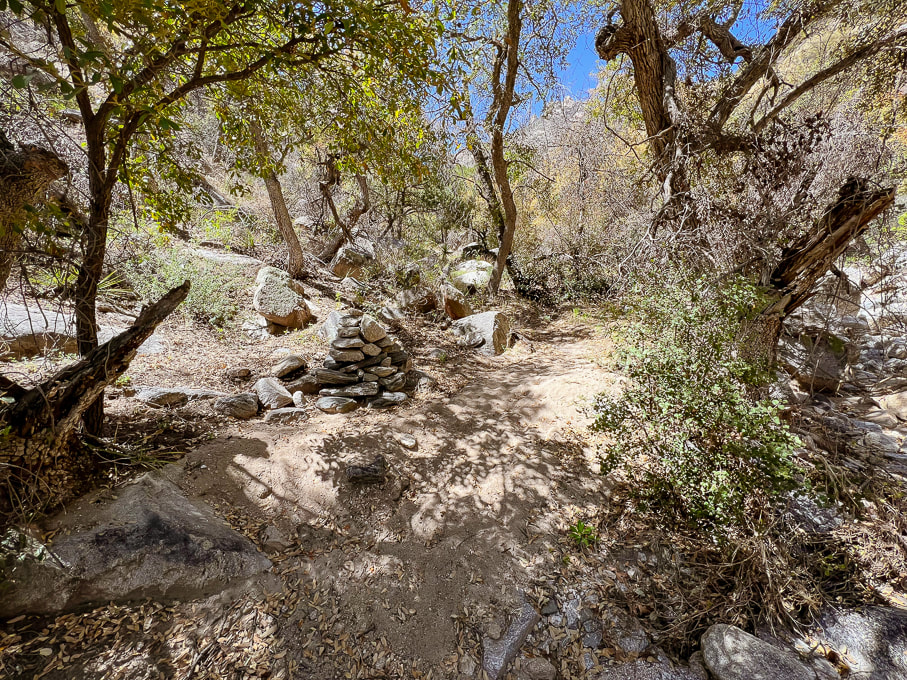 Large cairn marking trail through bottom of Esperero Canyon - approaching Mormon Spring, ~0.5 mile from Bridalveil Falls. 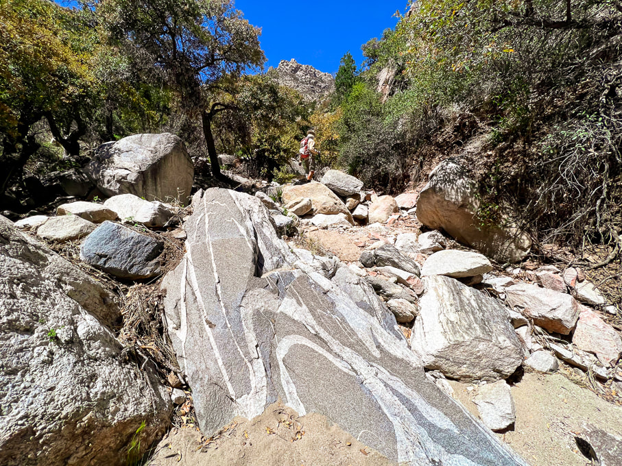 Folded pegmatite (?) dike in leucogranite (?) in Esperero Canyon. 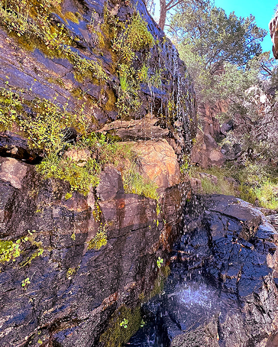 Bridalveil Falls finally! The only water we saw on this six-mile-in hike. 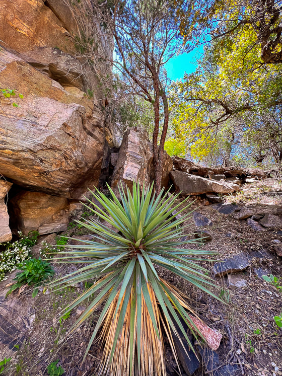 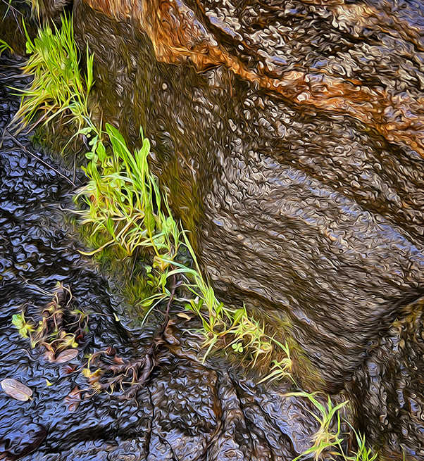 Portion of Bridalveil Falls - fun playing with Photoshop filters. 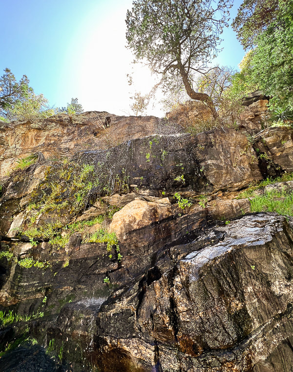 Refreshing Bridalveil Falls in Esperero Canyon. 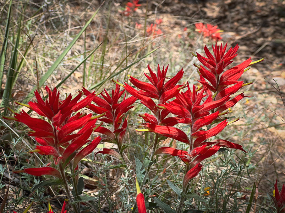 Santa Catalina Indian Paintbrush castilleja tenuiflora  Found this near the falls with these rocks holding it down. 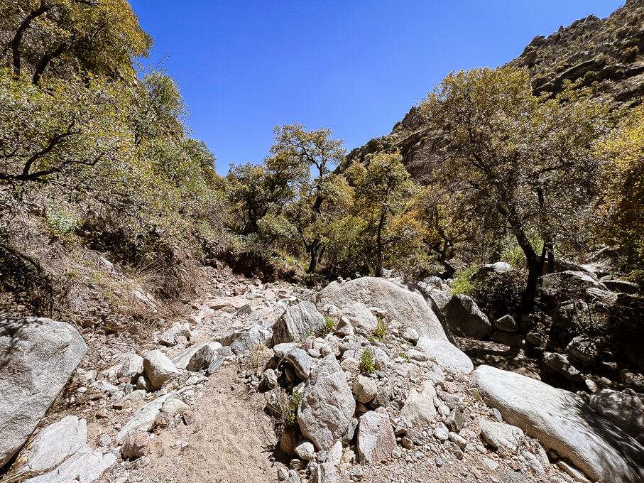 Heading back. 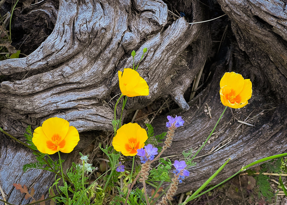 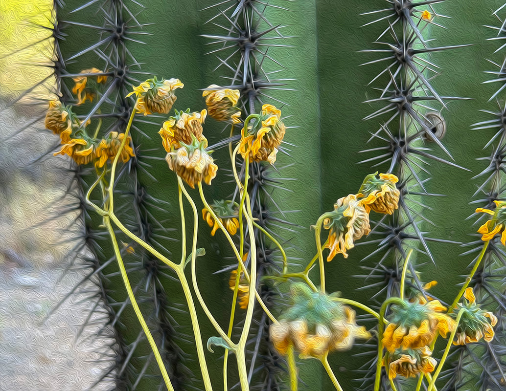 Saguaro and brittlebush 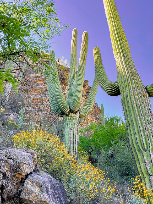 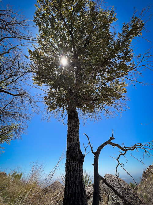 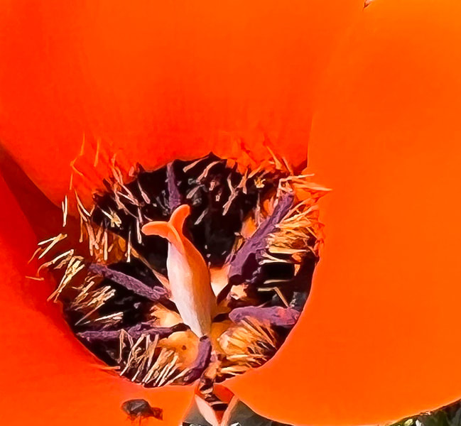 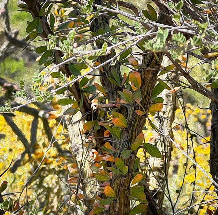 DeGrazia Gallery in the Sun Museum - TucsonScenes from DeGrazia Gallery in the Sun - Tucson. 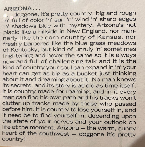 A quote from Ettore DeGrazia, posted up on the wall along with dozens of his paintings in the Gallery of the Sun Museum in Tucson.
 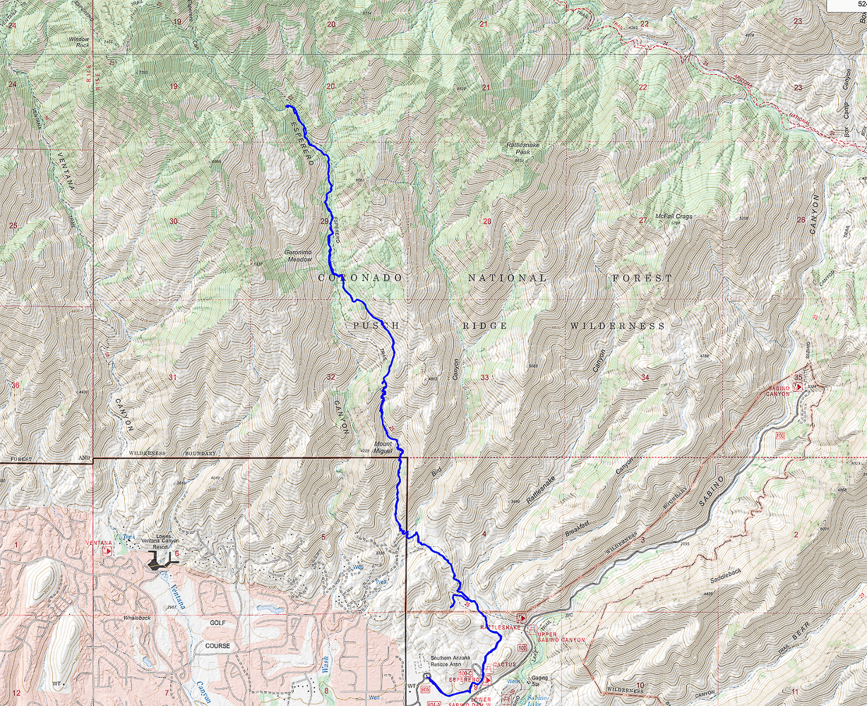 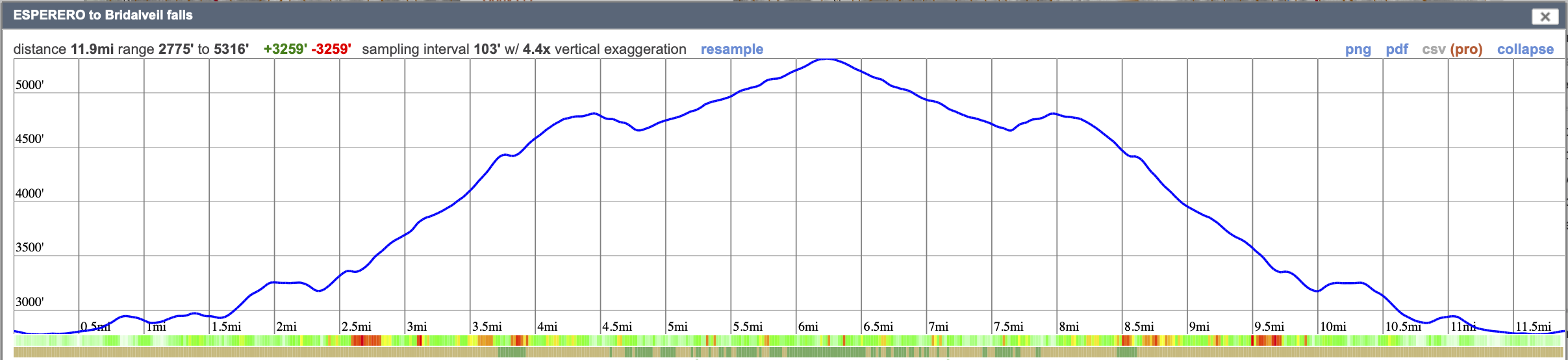 Our GPS tracks and elevation profile for Esperero Trail to Bridalveil Falls.
Click on map for larger image.
The Fremont culture's expressions in volcanic rock, explosive geology, and a peaceful stay at Castle Rock Campground.
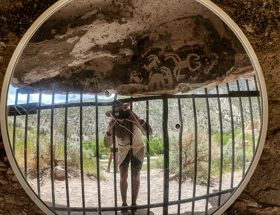
Fremont Indian State Park's Sheep Shelter, an alcove that uses a mirror to view its petroglyphs. Semi-circles and dots pecked on a line that extends the length of the alcove wall may have represented observations of the sky.
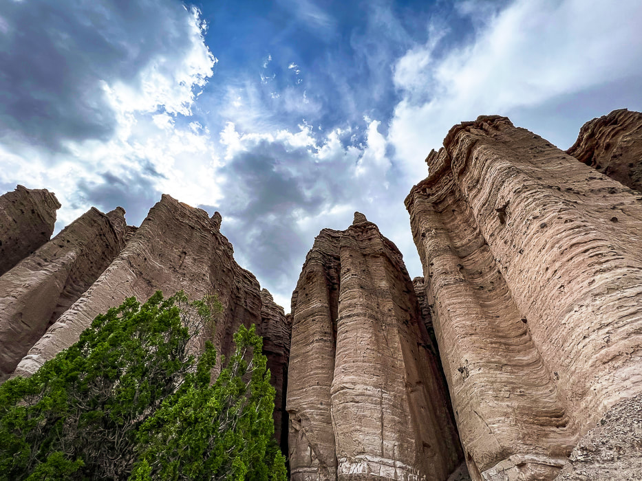
"Castles" at Castle Rock Campground weathering out of the Sevier River Formation that's made of sediments including ash, sandstones, siltstones, and lava flows.
Trip Stats
Overview: Massive volcanic ash ejections 19 million years ago provide the "canvas" on which the Fremont peoples carved numerous petroglyphs along Clear Creek Canyon, an ancient passageway between Utah's northern Pahvant range and the southern Tushar mountains. On the other side of Clear Creek, Castle Rock Campground's weathered sediment hoodoos make a unique backdrop to explore. Location: Central Utah - Fishlake National Forest - Tushar Mountains - Clear Creek Canyon along Interstate 70. Dates visited: May 27-30, 2023 Trails: most petroglyph sites involve short hikes on dirt/gravel. The Alma Christensen Nature Trail is a one-mile loop that hooks up to the petroglyph-viewing trails close to the museum. Google Map for Fremont Indian State Park and Castle Rock Campground: Closest town is Richfield, Utah. Exit 17 from Interstate 70 - take FR478: on south side is Castle Rock and on north side is Fremont Indian SP. Additional links: Fremont Indian State Park Brochure, Castle Rock Campground, Geologic History of Fremont Indian SP Books to Read:
- Kenneth Olsen Kohler
Related Posts:
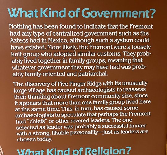
As mysterious as some of their rock art is, much of the ancient Fremont culture who lived in Utah ~ 300 - 1,300 A.D. also remains an enigma. Archaeologists use the word "Fremont" to refer to a "culture" or a "label," not a homogenous people because the Fremont territory included many ethnic groups and linguistic variation. "Fremont" is a generic term for people that lived in varied geographical locations, and had a diversity of lifestyles but seemed to have shared behavioral patterns such as subsistence. Some people were settled farmers; some were nomads that hunted and gathered; and some may have moved between these lifestyles. David B. Madsen, in his book Exploring the Fremont describes the Fremont lifestyle one of "variation and flexibility." They lived in natural rock shelters and pit houses dug into the ground, covered with brush roofs.
Four distinctive artifact classifications distinguish the Fremont from other prehistoric societies:
Since I love pottery (Fred says that our home can't fit any more pots!), I found an interesting Masters thesis, Fremont Ceramic Designs and their Implications by Katie K. Richards that was well worth the read if you are interested in the Fremont pottery and the evolution of research and archaeologists' changing philosophies about the Fremont throughout the decades since the late 1920's, when this culture was first identified along the Fremont River in south-central Utah. This article has a lot of great museum photos of Fremont pottery.
Fremont Indian State Park
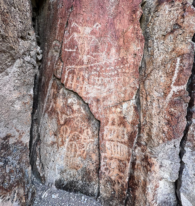
I got the idea to visit Fremont Indian State Park after seeing it just off Interstate 70, coming back from the San Rafael Swell near Green River, Utah. I had read about this park in Geology Underfoot in Southern Utah, an informative book that features 33 "vignettes," three of which describe geology at Fremont Indian State Park and nearby Castle Rock Campground, where we stayed a few nights. Fred and I had already explored some of the places highlighted in this book, and I vowed to explore the rest of them, using it as a guide. Well, here's the first! I've seen petroglyphs carved into sandstone, basalt and granite, but not into tuff, a type of rock made of compacted ash as these are at Fremont Indian State Park, along Clear Creek. Why did the Fremont peoples carve so many petroglyphs along this Clear Creek Canyon corridor? Clear Creek provided ample water, and an old village with artifacts was uncovered during the excavations for building Interstate 70. This valley was a natural route between northern and southern mountains.
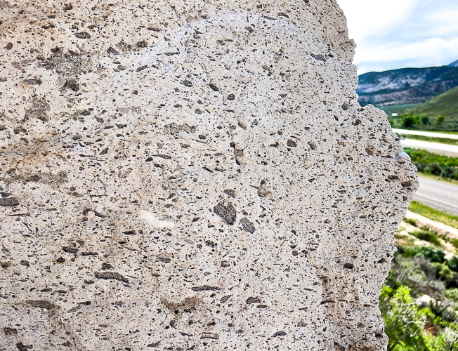
Voluminous amounts, ~ 150 cubic kilometers of ash flow explosively extruded from present-day Mt. Belknap to the south to fill the ancient Clear Creek Valley 19 million years ago. The ash was so hot - at least 1,100° F - that it "welded" and produced solid rock - hence the name "welded tuff." This rock, on which the Fremont peoples carved their petroglyphs is called the Joe Lott Tuff, named for an early Mormon pioneer who settled in this Canyon, building a cabin with orchards in the 1880's. When you look closely at this rock you can see the angular rock fragments of granite, biotite, feldspar, and pumice.
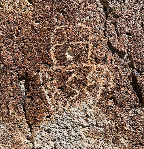
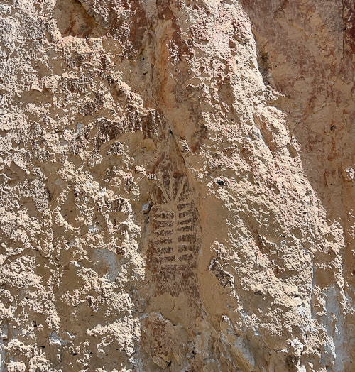
Petroglyphs carved into tuff at Fremont Indian State Park.
Being the geology nerd I am, the towering columnar cliffs, part of the Joe Lott Tuff near the east end of Clear Creek Canyon Road proved interesting. The six-sided columns are broken off at various heights along the walls where weaker bonds in the rock succumbed to erosion. These are jointed ignimbrites - thick, massive, lava-like sheets of volcanic rocks made mostly of glass particles. The process for this columnar jointing: volcanic eruption and ash flow --> cooling lava --> stress caused by cooling --> contracting lava forming cracks --> growing crack perpendicular to surface of flow --> columns are formed --> erosion and change --> columns break and tumble.
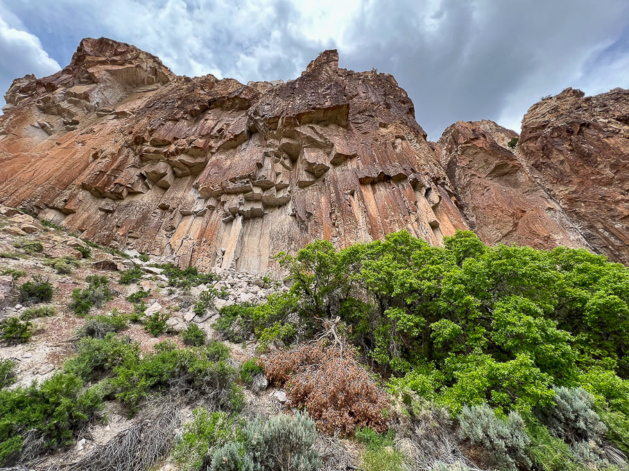
Columnar jointing in the volcanic Joe Lott Tuff. When this lava flow was cooling, vertical fractures developed to create the six-sided columns. Clear Creek Canyon has cut down through this tuff; erosion continues causing the columns to fall.
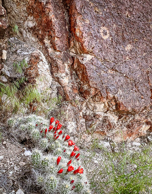
Claret cup hedgehog cactus and circular petroglyph on the Canyon of Life Rock Art Trail.
I liked the many petroglyph sites and their variations; some were close to the road but most involved short-distance hikes, enough to keep us busy the entire day. Outdoor interpretive signs at the museum present a time-line of the petroglyphs in this canyon and key components to look for in the designs made during different time-periods, with the Great Basin Abstract style being the oldest type (1,000 B.C.E.) in this area.
Fremont Indian State Park Petroglyphs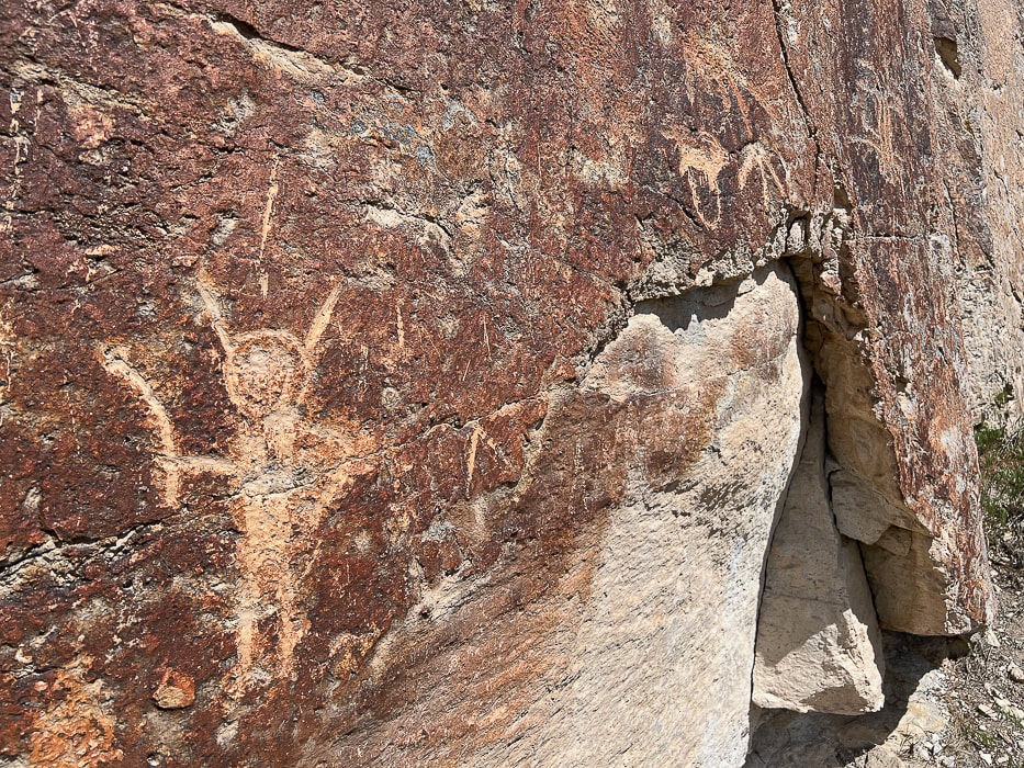
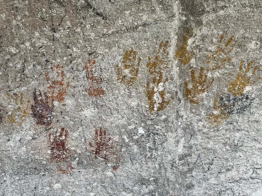
Cave of a Hundred Hands has 31 handprints. Metal bars protect it from further defacing.
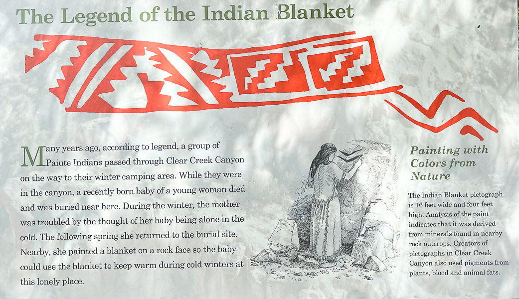
Unless you want to climb the rocks across the freeway, you view this pictograph from binoculars or the view pipe provided at the viewpoint. It's called a blanket because it reminded the first Mormon Settlers of a blanket design.
Castle Rock Campground (Map)
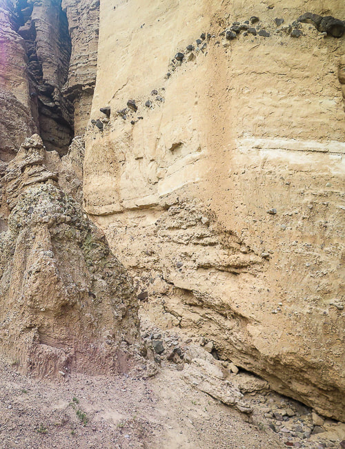
Castle Rock Campground is located just a few miles from Fremont Indian SP, in the volcanic Tushar Mountains. Last year we shared this range's highest peaks, Delano Peak and Mount Holly, with mountain goats in a wind storm. It felt good to be among the pines, cottonwoods and junipers in this clean campground. Eroded rock towers, AKA "hoodoos" or in this case "castles" provide an interesting backdrop. Mix in the soothing sounds of Joe Lott Creek flowing near many campsites and you've got a relaxing, back-to-nature getaway. Geology Underfoot instructed us to go behind campsite 23 to view the sediments of the hoodoos from the Sevier River formation, deposited between 15 and 4 million years ago by streams and sculpted by wind, water and ice. Right away I saw a pile of white ash mixed with sediments on the ground along with dark grey rocks that had weathered out of the walls. These hoodoo walls, when touched, crumble easily because these sediments have poor cementation. Periodic ash fall deposits blanketed these sediments; you can actually see two bright white ash layers, one near the top and the other near the bottom of these hoodoos. Another striking feature of these hoodoos is their interesting shapes caused by vertical carving and channeling. This Clear Creek drainage was uplifted because of Great Basin faulting that continues today. This uplift produced a slope, and the stream was invigorated, washing away the soft, poorly-cemented rock of this formation. Where there is a weakness in the rock, a small channel is started; heavy rains become concentrated in these channels, causing them to grow. So, the Sevier River formation was deposited onto an eroded Joe Lott Tuff, illustrating the law of superposition in stratigraphy - that is, the older layer of rock is under the younger layer. This principle is turned on its head, so to speak, however in the presence of compressive thrust faults that push older rocks over younger rocks, but not in this area. Oh be Joyful This is the actual name of a trail out of Crested Butte, Colorado that Fred and I have hiked a few times in July among the wildflowers. "Joyful" and "grateful" describe how I feel when we get to explore these intriguing Utah places, are able to use our legs to see incredible sights in person, and our imagination to wonder about the person who carved the petroglyph in the tuff hundreds of years ago. We've got 30 more Geology Underfoot locations to explore, including Valley of the Gods, the Goosenecks of the San Juan River, and the Virgin Anticline. Plus getting up to more Utah summits! How are we going to fit everything in?
"One night, a full moon watched over me like a mother. In the blue light of the basin, I saw a petroglyph on a large boulder. It was spiral. I placed the tip of my finger on the center and began tracing the coil around and around. It spun off the rock. My finger kept circling the land, the lake, the sky. The spiral became larger and larger until it became a dance of stars in the night sky above Stansbury Island. A meteor flashed and as quickly disappeared. The waves continued to hiss and retreat, hiss and retreat. In the West Desert of the Great Basin, I was not alone."
Terry Tempest Williams - from Exploring the Fremont
Never Stop Exploring!
Sevier River formation - layers of basin-fill deposits
Crumbling hoodoos (left), and a close-up of large rocks embedded in the walls (right), indicating more powerful water flow caused by storm events when these were deposited. 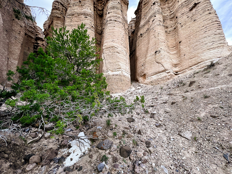
A chunk of ash (foreground) mixed with sediments that has weathered out of the eroded Sevier River formation. Note the layer of white ash present near the bottom of these hoodoos.
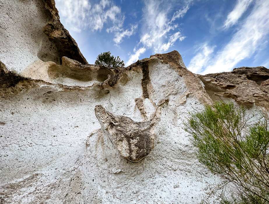
Interesting shapes in the Joe Lott Tuff.
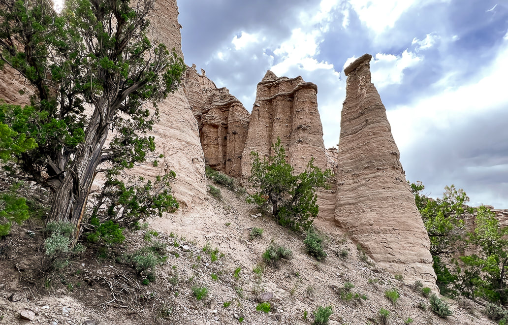
"Castles" at Castle Rock Campground. Large dark volcanic rocks that protrude from their walls attest to the power of water flow during large storm events.
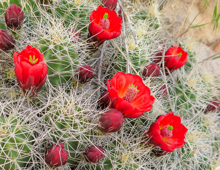
Claret Cup Hedgehog
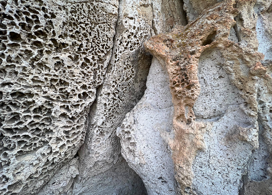
Tuff texture - honeycomb weathering
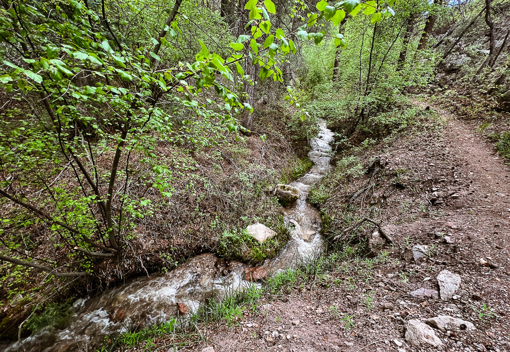
Joe Lott Creek - Trail #051 goes from the south end of Castle Rock Campground to the Silver King Mine interpretive area.
One source said that Joe Lott helped build the arastras that ground the silver ore produced from the mine.
References
Case, W. Geosights: Fremont Indian State Park, Sevier County, Utah (from Utah Geological Survey website, vo. 42 #2, May 2010. Cunningham, C.G., Steven, T. A. 1979. Mount Belknap and Red Hills Calderas and Associated Rocks, Marysvale Volcanic Field, West-Central Utah. U.S. Dept. of the Interior - Geological Survey. Fremont Indian State Park Trail Guide. State of Utah Office of Museum Services. The Historical Marker Database - Pioneering Utah Madsen, D. B. 1989. Exploring the Fremont. Utah Museum of Natural History. Orndorff, R.L., et al. 2006. Geology Underfoot in Southern Utah. Mountain Press Publishing Company, Missoula, Montana. Simms, S. R. 4/22/2016. The Fremont Period. From historytogo.utah.gov website.
Crack Canyon, with its narrows and soaring sandstone walls is a non-technical, scenic joy to hike. It's one of the over 30 remote and hidden canyons transecting the San Rafael Reef. Bonus: you might have it all to yourself.
Related posts:
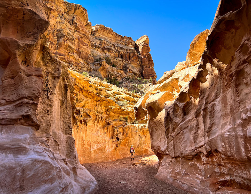
Entrance into Crack Canyon, San Rafael Reef.
Trip Stats
Location: Central Utah, Bureau of Land Management - Price Field Office - Southeast San Rafael Swell - Crack Canyon Wilderness Study Area. Overview: Penetrate the San Rafael Reef through one of its spectacular slot canyons as waters have for millions of years, with new discoveries around every corner, including a few narrows. This delightful "hands-on" hike navigates boulders, walls and slick rock. A cool cave awaits at the mouth of Crack Canyon, if you go far enough. Distance/Elevation gain: We began 0.4 miles from trailhead. Our hike = 8.0 miles round-trip. Elevation goes from 5,600' at top to ~ 5,000' at mouth. Difficulty: Easy/moderate with a few Class 3 moves and one Class 3-4 on short walls and boulders (one has a bypass). Coordinates: Trailhead on Behind the Reef Road: 38.64315 -110.74504 Maps/Books: Trails Illustrated #712 - San Rafael Swell - BLM - Price Field Office/Hiking and Exploring Utah's San Rafael Swell, 4th Ed., by Michael R. Kelsey. Caltopo map of our GPS tracks at end of post. Directions to Trailhead: From Green River, Utah on I-70 head west and take Hwy 24 exit toward Hanksville. At milepost 135 on Hwy 24, follow signed road toward Goblin Valley State Park (west). Follow this road to junction (5.1 miles); continue straight. At 7.2 miles from Hwy 24, turn left on a good graded road (Behind the Reef Road). Reset your odometer and travel 4.1 miles to Crack Canyon TH, passing the TH to Wild Horse Creek at 1.6 miles. We drove the old sandy road 0.4 miles down canyon in our 4x4 truck. High clearance 2WD ok on Behind the Reef Road. Date Hiked: May 11, 2023.
Our tracks down-canyon and back, beginning in the north just off of Behind the Reef Road.
The northwest Colorado plateau's San Rafael Swell and its huge, tilted reef of sandstone has much to offer the intrepid explorer who will boldly go where not a lot of people go. It's an extraordinary place of sublime topography and deep, dark canyons, some that contain pools to swim through. I've heard of this area for years, especially with reference to Native American petroglyphs and pictographs. Fred and I stayed at Goblin Valley State Park years ago to hike Canyonland National Park's remote Horseshoe Canyon to witness the amazing Great Gallery/Holy Ghost pictograph panel and dinosaur print. Relatively unknown compared to Utah's well-visited parks like Capitol Reef, there's a lot to do and see as evidenced in Michael Kelsey's book Hiking and Exploring Utah's San Rafael Swell.
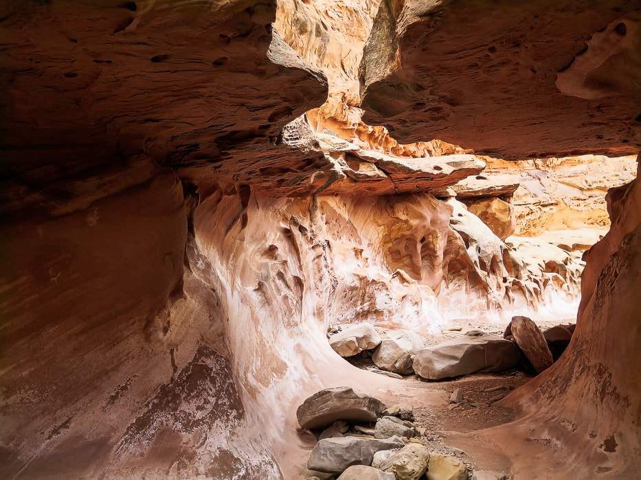
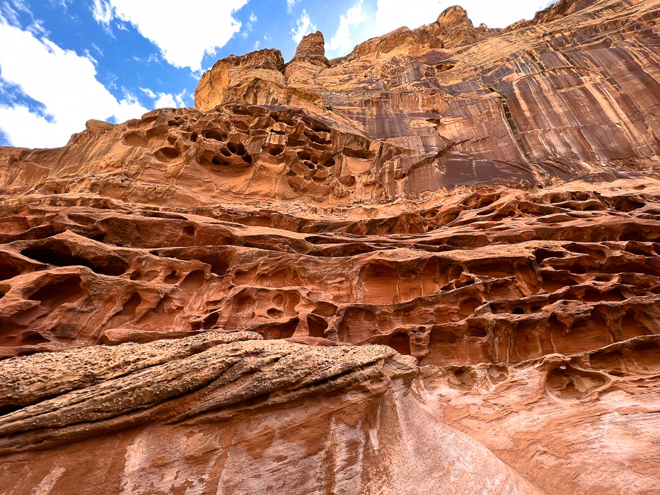
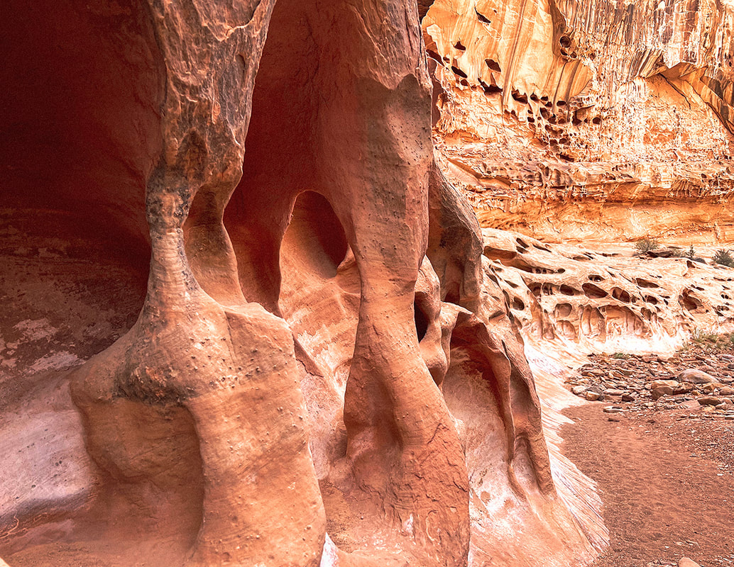
Mexican Mountain, Sids Mountain, Devils Canyon, and Muddy Creek are among the seven wilderness study areas in the San Rafael Swell. The reef on the eastern side of San Rafael is bisected by around 30 slot canyons, many of them requiring technical climbing and navigating skills. A few days before Crack, we went to see the amazing pictographs in Black Dragon Canyon and walked up-canyon from there past an old uranium mine. I'm not exactly sure how Crack Canyon got its name but I can guess two reasons. At the beginning, as the canyon begins to narrow, there is a "crack" in a tunnel ceiling, only a few feet wide. Further down, the honeycombed walls are so tall on each side at portions there is a "crack" of sky, especially in the narrows. What sets this canyon apart from other slots is the amount of extensive weathering in the form of honeycombs and caverns.
Features of Crack Canyon Hike
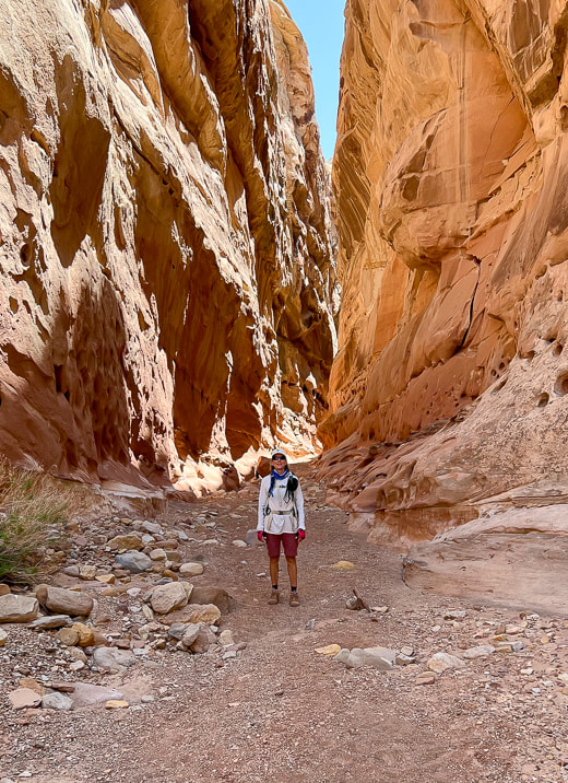
Although there's parking at the trailhead to Crack Canyon on Behind the Reef Road, we drove our 4x4 truck ~ 0.4 miles and parked when the canyon narrowed. It was a stellar day - azure skies with tall glowing, cavernous-weathered sandstone walls on both sides. We encountered only eight people on this Thursday. We ran into two older San Rafael-experienced gentlemen who recommended the Little Wildhorse Canyon/Bell Canyon loop, a bit further to the southwest. We've got lots of plans for when we return to this unique, contorted and high-cliffed desert less-traveled.
“Standing there, gaping at this monstrous and inhumane spectacle of rock and cloud and sky and space, I feel a ridiculous greed and possessiveness come over me. I want to know it all, posess it all, embrace the entire scene intimately, deeply, totally...”
- Edward Abbey, Desert Solitaire Never Stop Exploring! 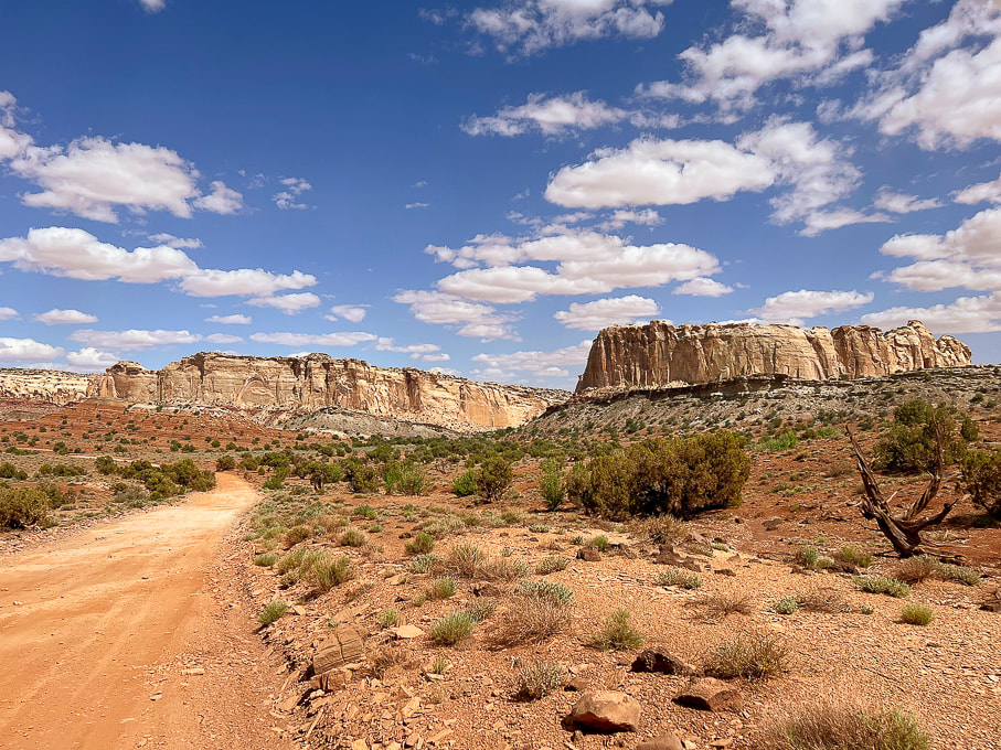
The graded Behind the Reef Road on the west side of the San Rafael Reef that takes you to Crack Canyon Trailhead. Looking northeast toward Temple Mountain.
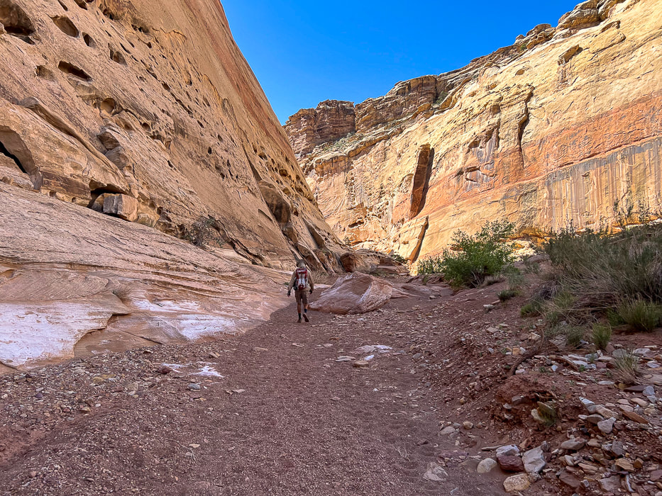
Start of hike after we drove ~0.4 miles down canyon from trailhead on Behind the Reef Road.
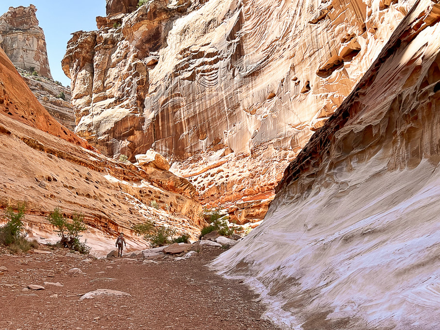
Crack Canyon's immense wall entrance.
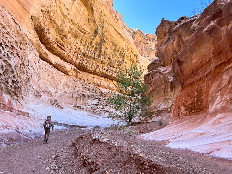
Crack Canyon starting to narrow.
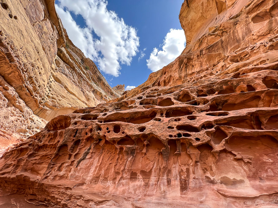
Cavernous weathering (tafoni) in sandstone caused by salt crystallization ("salt weathering") and physical processes such as wind and water weathering. Dissolution of the calcite cement between sand grains may take place, weakening the bonds between sand grains. The factors influencing cavernous weathering are seasonal wetting and drying, aeolian (wind-blown) salt, and water vapor.
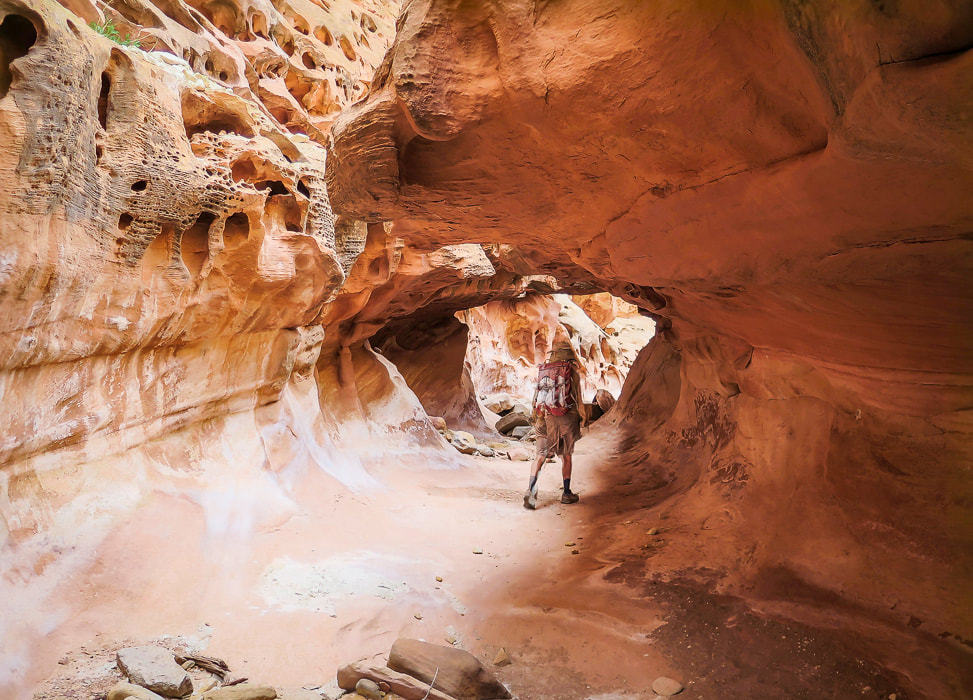
Entering "tunnel" with crack in its ceiling.
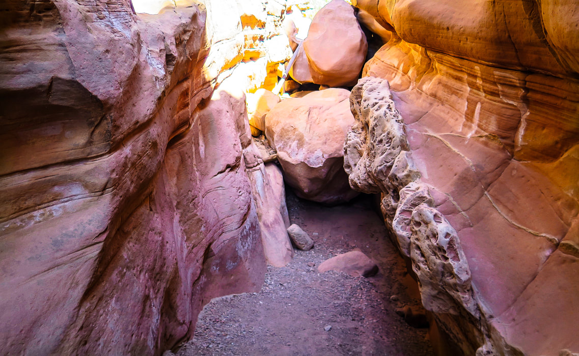
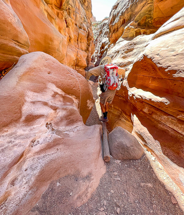
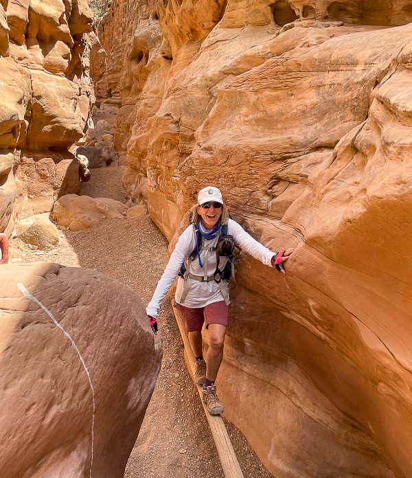
Log to ascend/descend sheer boulder wall (top of image in the sunlight).
Fun things in the canyon: a log helps to descend a sudden drop-off.
Fred going down, Sue going up. 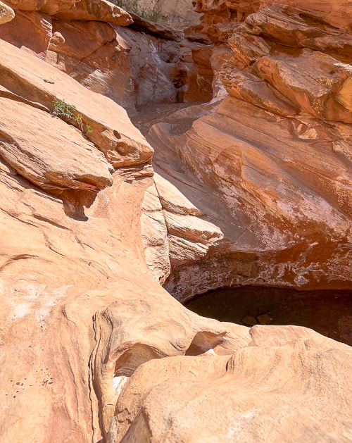
After descending a short wall above in this photo, you skirt around this pool of water walking on sandstone.
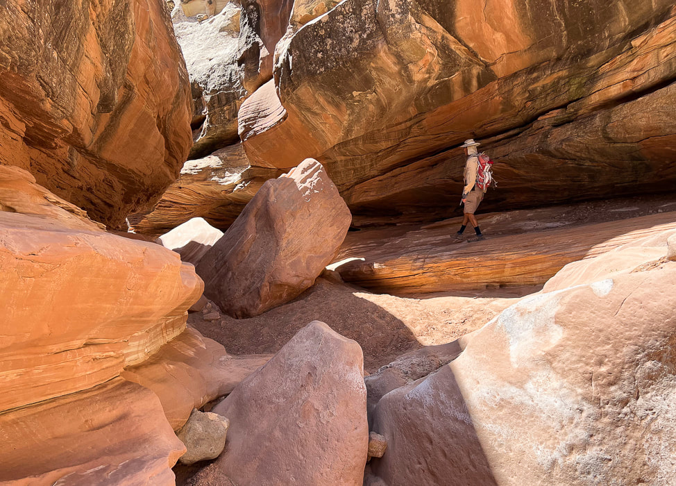
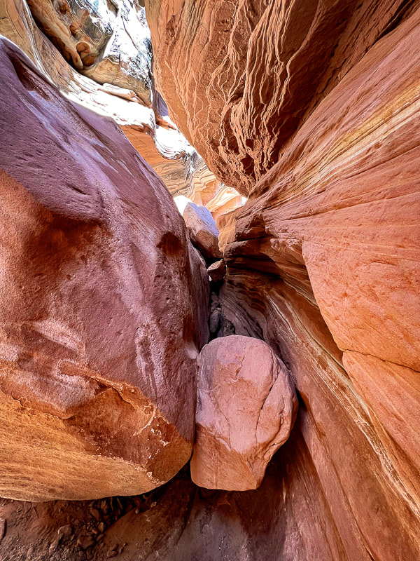
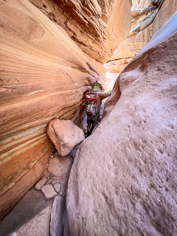
Looking at both ends of this boulder-navigating obstacle.
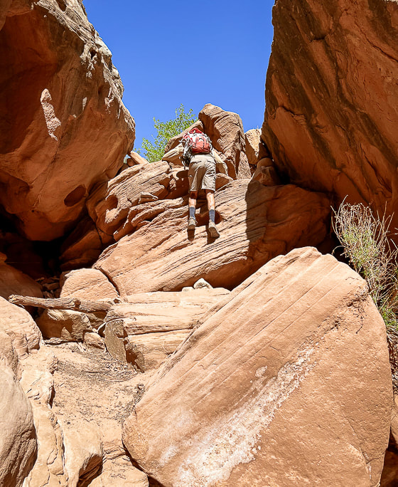
Climbing down short wall.
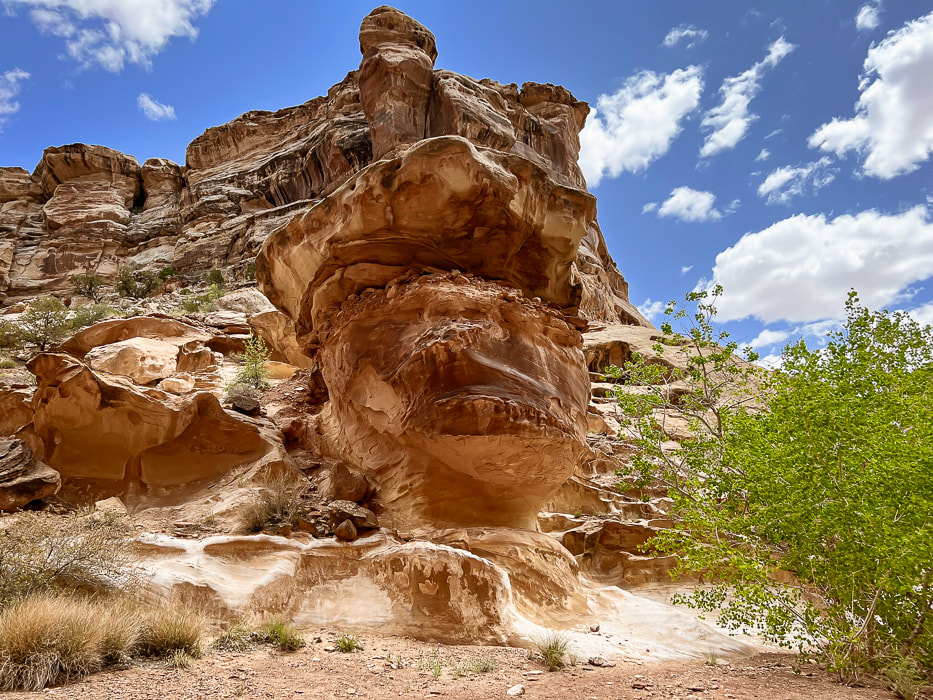
Really cool rock formations in a wide part of the canyon.
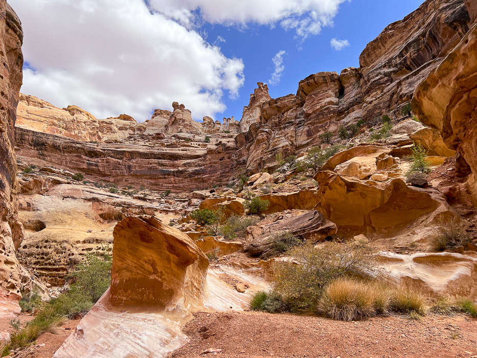
Walk by this huge alcove.
Cairned-marked up-canyon bypass around the most exposed Class 3-4 section. The bypass is short and well-marked.
Looking down at the most difficult obstacle with tree branch to help ascend/descend and webbing around boulder (left) and view looking up-canyon of same obstacle (right). There's a bypass around this obstacle a few hundred feet up-canyon on the east wall. Look for cairns that lead up through a crack to a ledge.
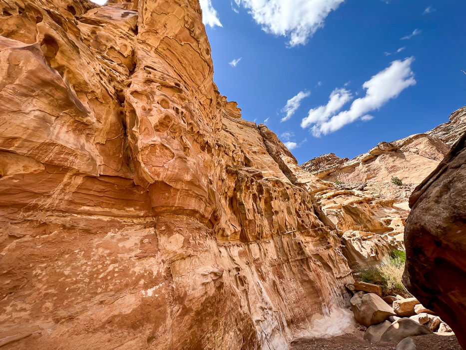
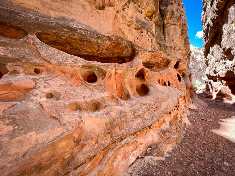
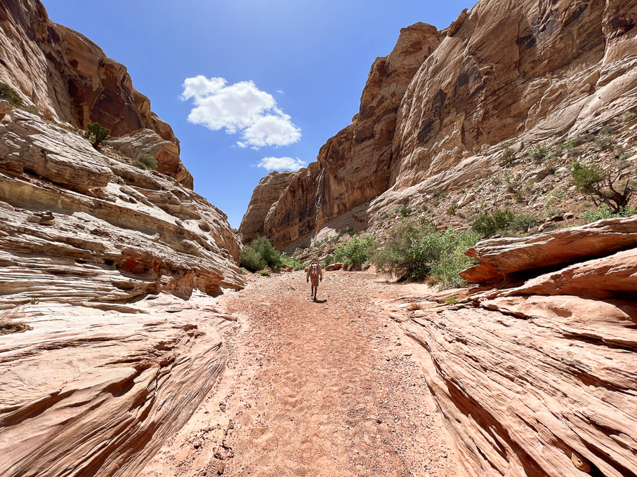
Canyon opens further down.
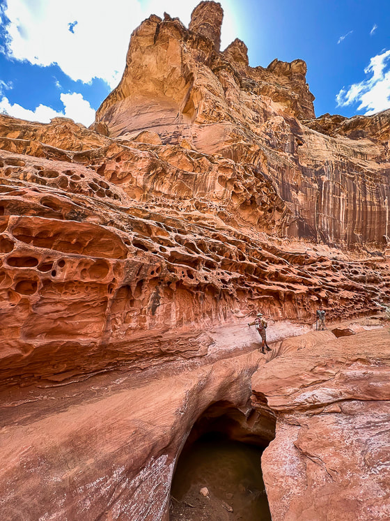
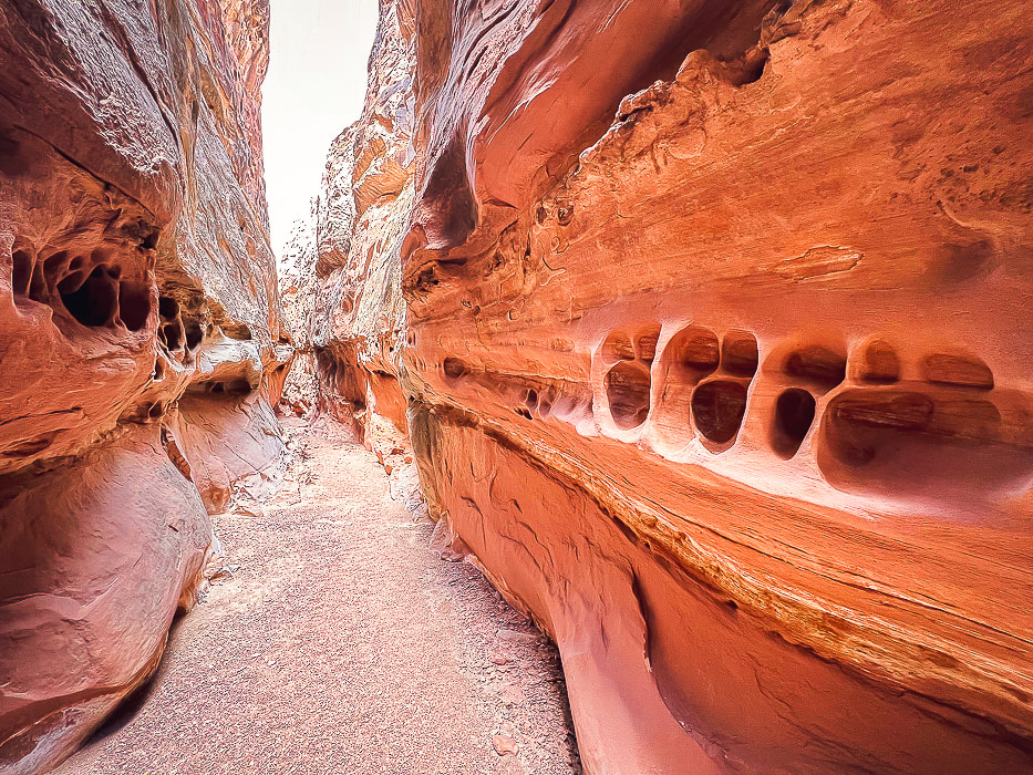
Carved slickrock at bottom of canyon.
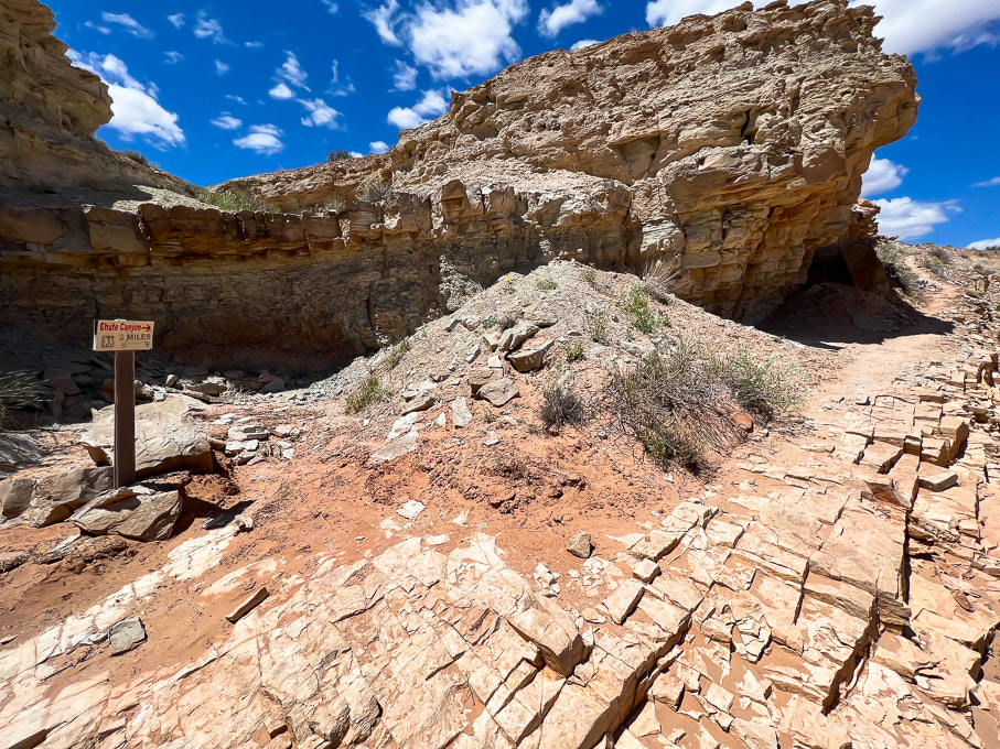
Sign at intersection of lower Crack Canyon with overland trail to lower Chute Canyon (2 miles from Crack to Chute).
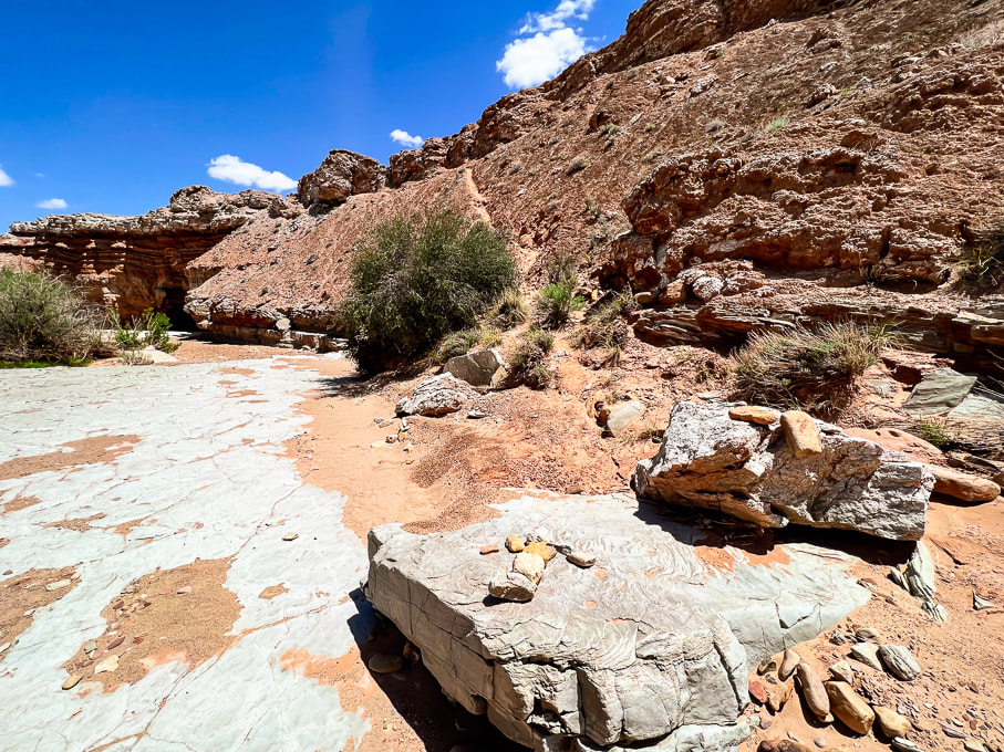
Rock arrow pointing toward steep trail (above) that leads to a great lookout.
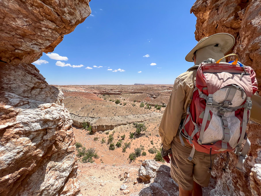
Lookout over the San Rafael Desert toward the southeast.
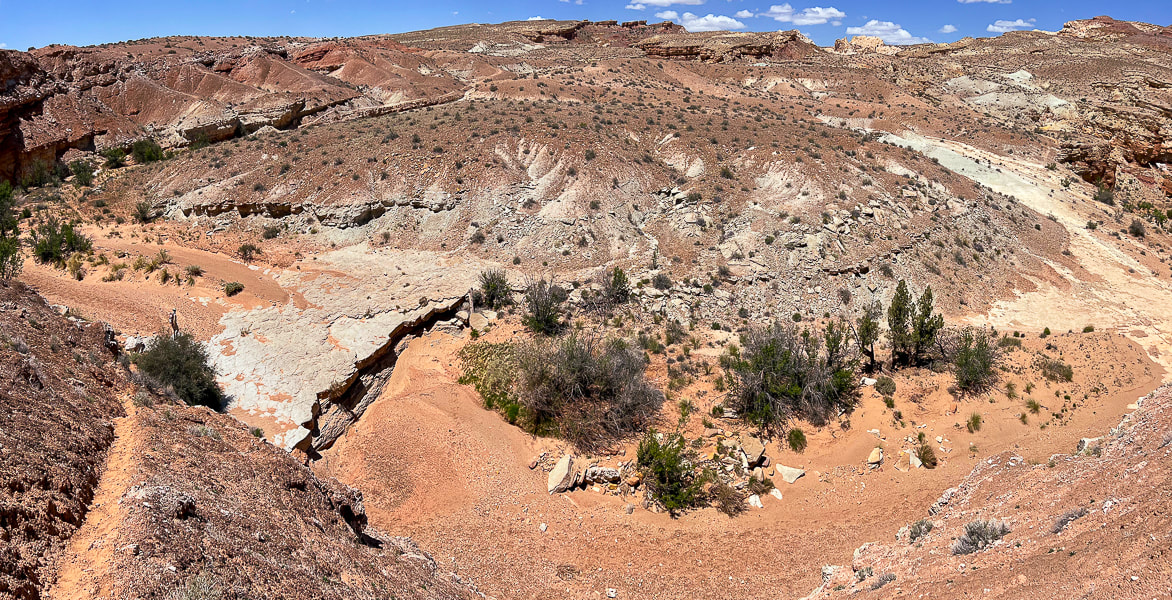
Looking down into Crack Canyon.
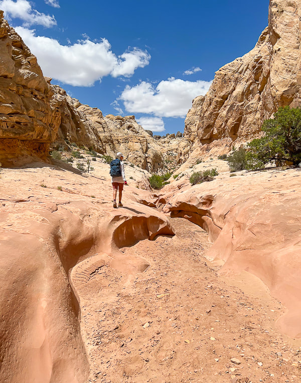
Heading back up-canyon.
Some cool stuff on the trail.
The purple flower is actually from the Red Mountain Primitive Trail near St. George, Utah. 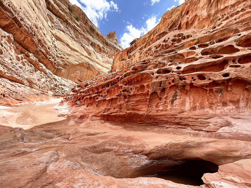
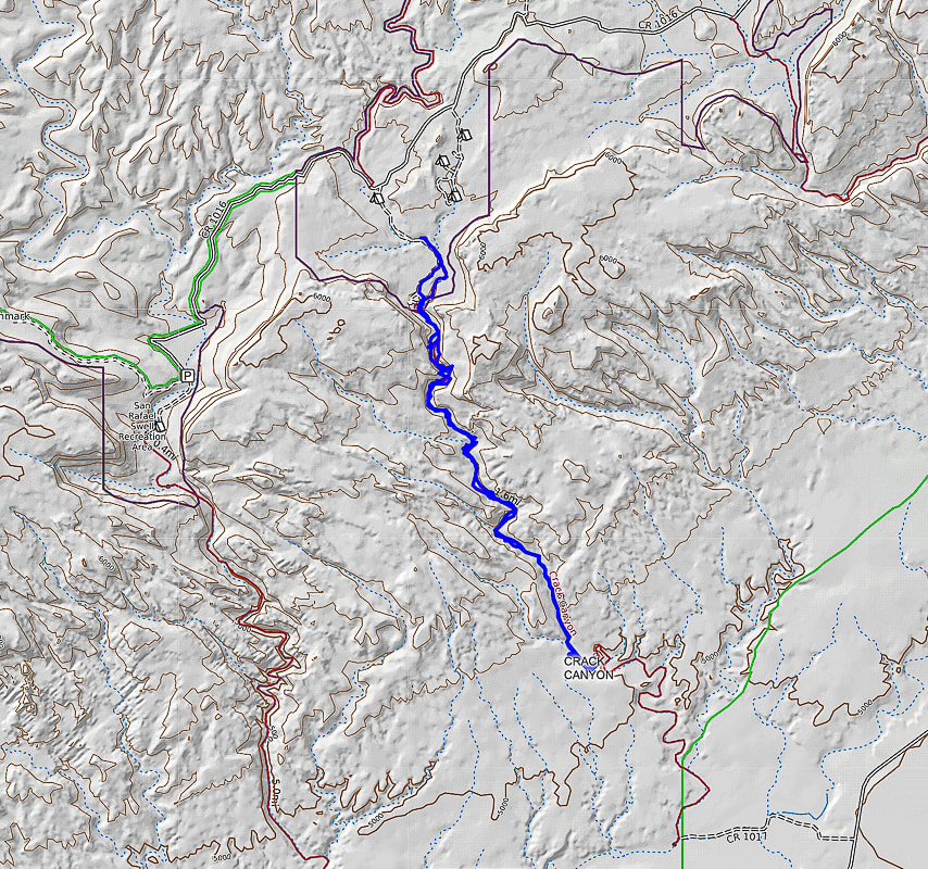
North points straight up - beginning of hike at top just south of Behind the Reef Road (CR 1016): hike down canyon SSE direction.
We hiked to the mouth of Crack, just beyond the intersection with trail leading to Chute Canyon (next canyon on the left), so a loop could be done.
Utah's quiet San Rafael Swell has awe-inspiring Archaic Period pictographs and the alleged "winged monster" high on the walls of Black Dragon Canyon.
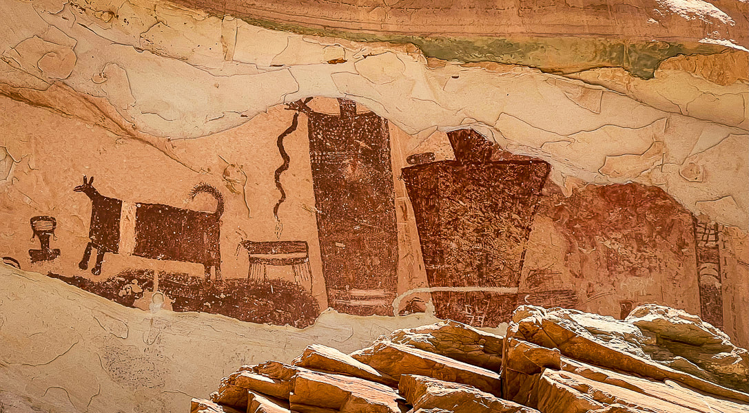
Temple Mountain Wash pictographs near Goblin Valley State Park
These figures are Barrier Canyon Style and date to the Archaic Period: several proposed dates include as far back as 8,000 BC or a younger time of 1,100 AD (see interpretive sign below).
Trip Stats
Black Dragon Canyon: (Northeastern San Rafael Reef) Driving west on I-70, 12.5 miles from Green River, Utah, turn off at mile marker 147 onto a dirt road with a closed gate. Close the gate after entering. The road quickly crosses over the wash on the left. We went a short distance along the right side of the wash until we found a better crossing and got back on the main, well-traveled road that heads north in the direction of the reef. The entrance to Black Dragon Wash is on the left at the Mexican Mountain Wilderness sign, 1.1 mile from the interstate. We drove 4x4 truck on good sand to the fenced at base of pictographs and parked. Temple Mountain Wash: (Southeastern San Rafael Reef) From Green River, Utah on I-70, travel west to the junction with highway 24 that goes to Hanksville. Go toward Hanksville (south) for about 25 miles to Mile Post 135. Turn left (west) at road to Goblin Valley State Park and drive 5.1 miles to junction. Drive straight for 1.0 mile - the panel is on your right with an interpretive sign. Maps/Books: Hiking and Exploring Utah's San Rafael Swell by Michael R. Kelsey/San Rafael Swell Map (Price Field Office)- National Geographic Trails Illustrated #712. Dates Hiked: May 9-11, 2023. 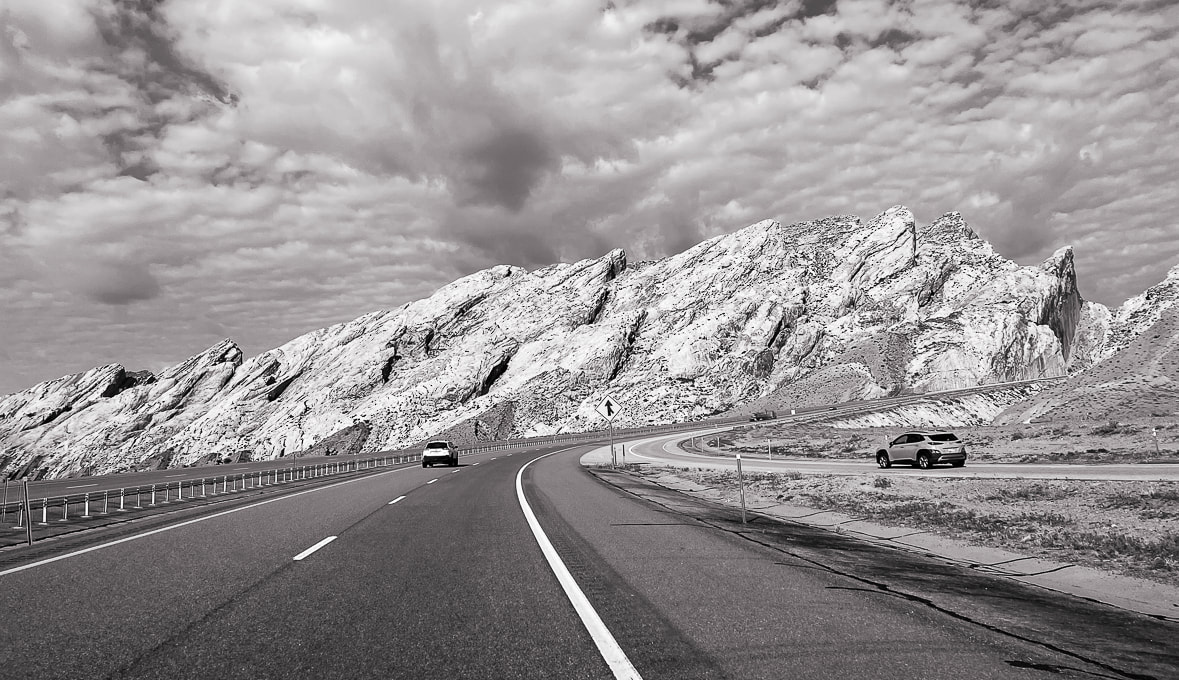
Utah I-70 piercing the San Rafael Reef (tilted light sandstone).
The Swell was caused by a vertical fault in ancient Precambrian basement rocks that lifted the western block higher than the eastern block of the fault, causing the younger layers of overlying rocks to drape over the fault zone creating an anticline, or "swell".
The San Rafael Swell and its near-vertical tilted sandstone beds named the San Rafael Reef is a Utah adventurer's paradise. Many steep and scenic canyons like Crack, Chute, and Zero Gravity cut through the reef. There's the Upper and Lower Black Boxes, old homesteads, mines, the San Rafael Knob, pictographs and petroglyphs from Archaic and Fremont cultures. The last time Fred and I visited this area, we stayed in Goblin Valley Campground and explored the Archaic Great Gallery/Holy Ghost pictograph panels in remote Horseshoe Canyon.
You're on your own in this remote part of Utah; there aren't many services, campgrounds or signs in the San Rafael Recreation Area (which has several official Wilderness Areas). And not many people ;). We barely scratched the surface with a few hikes and petroglyph/pictograph viewings. We trailer-camped in nearby Green Valley, Utah. One day, we stumbled upon the amazing Temple Mountain Wash pictographs when driving to hike Wild Horse Creek Trail. You can see where much of the pictograph panel has spalled off because of the elements of water and minerals. On another day, we drove the sandy roads to see the Spring Canyon petroglyphs and the Black Dragon Canyon pictographs and then walked up-canyon from there. It was here we saw the fabled "winged monster", a disconcerting pictograph that prompted scientists to unravel its mystery. 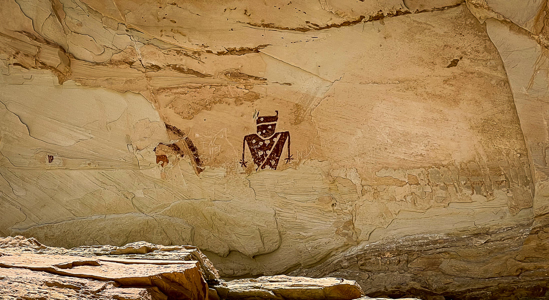
Temple Mountain Wash panel
These pictographs are Fremont style (AD 100 - AD 1300) and located to the left of the Barrier Canyon pictographs (above). Spalling, the breaking off of the surface of the rock, has removed previously-painted pictographs. 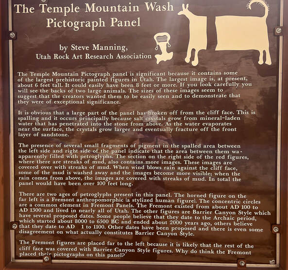
Interpretive sign at the site.
The "Dragon" Controversy In Black Dragon Canyon: a winged monster, a man, a grebe - what is it?
The sandy road leading to the pictographs in high-walled Black Dragon Canyon was in good shape, so we were able to park in the large space adjacent to these astounding pictographs. The left-most figures are in the characteristic Archaic Barrier Canyon style, with tall dark red mysterious-looking figures. To the right of these are Fremont Style pictographs featuring animals, abstract lines including concentric circles, lines, dots and zig-zags. It's always fun to imagine how the native peoples applied these red pigments. In this case, however, it wasn't fun to see the annoying white chalk lines drawn around some of the weathered pictographs. A large rockfall under the Archaic pictographs allowed the creators to paint their images high on the wall. There's a camera present with a sign. With apparent wings and a long tail, an unusual pictograph looks like a dragon/dinosaur creature, hence the name Black Dragon Canyon. In 1928, it got a reputation as a "winged monster", when amateurs discovered it. In the 1940's, John Simonson drew a chalk line defining his interpretation of a winged monster or dragon, and published a paper describing his methods. Decades later, a geologist said it resembled a pterodactyl, so the Young Earth Creationists started using this as evidence that Native Americans and pterodactyls lived at the same time. 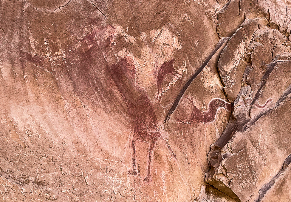
The "dragon" in Black Dragon Canyon - mistaken identity
Chalk lines drawn around separate Fremont style pictographs to define a dragon. Modern diagnostic techniques revealed five separate pictographs that were previously outlined together as one "winged monster" - possibly a pterodactyl. For instance, the "head" of this creature is actually a supplicating man. (I didn't include the furthest-left pictograph in this photo).
Enter modern technology: diagnostic tools to image the red pigment and iron that has faded over the years and not seen by the human eye. Dstretch enhances photographs of pictographs by revealing faded pigments, and x-ray fluorescence measures the iron concentration in the red pigment to see where Native Americans applied the pigment to the rock.
Conclusion: There are five separate pictographs encircled by the white chalk outline (see Dstretch illustration below), so the single "winged monster" pictograph has been debunked. From left to right: a bighorn sheep, a dog, a large, bug-eyed anthropomorph with a snake in his hand, a small man bent at the waist in supplication with his arms outstretched, and a large, sinuous horned snake. All five are the Barrier Canyon style. Simonson had converted the small man pictograph into the head and neck of a dragon.
I also found a paper (no date, but spoke of trips to the site in the 1990's) that stated this pictograph is a representation of an eared grebe, a type of waterfoul that breeds in the area and may have been hunted. The person who painted it may have been summoning the spirit of the grebe to bring more water. But now this interpretation has been debunked.
Photo of an eared grebe courtesy of the Cornell Lab of Ornithology - Macaulay Library.
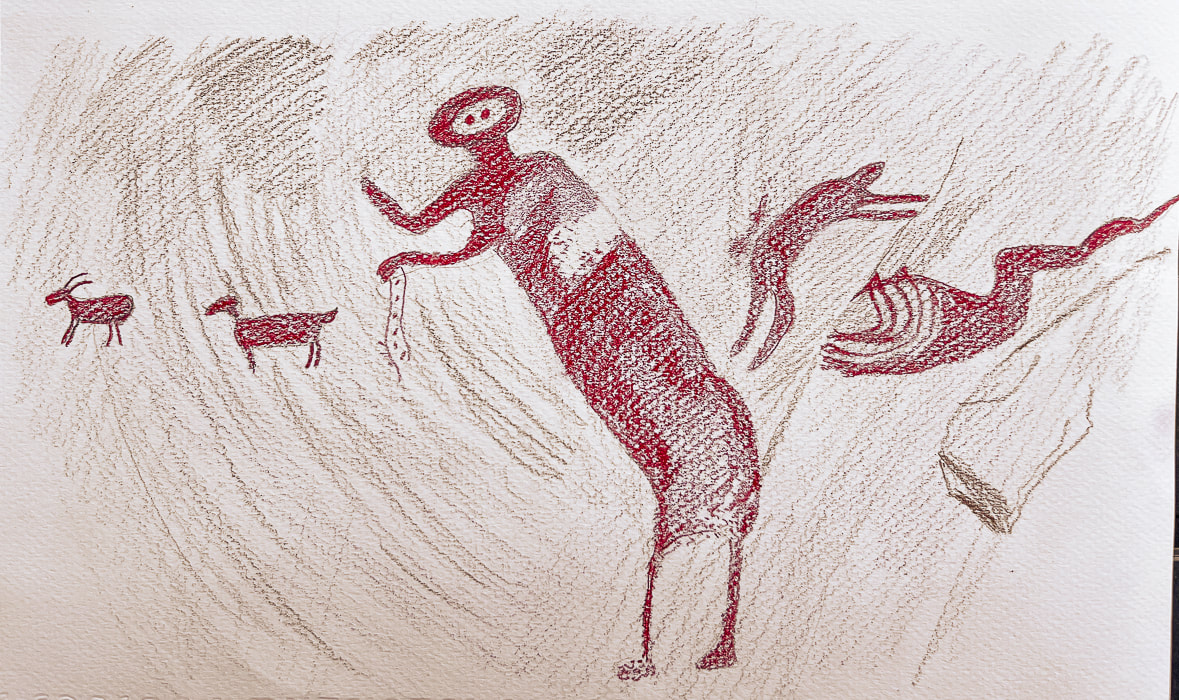
Dstretch technique illustration of all five of the images found in the "dragon" pictograph in Black Dragon Canyon
(from left to right): Bighorn sheep, dog, a tall figure, a smaller figure with arms outstretched in supplication, and a horned snake. Chalk lines currently include all of these pictographs into one image of a "dragon". Compare this to the now-discredited "dragon" above. (I drew this image from a photo in "The Death of a Pterodactyl," by Jean-Loïc Le Quellec, Paul Bahn and Marvin Rowe, from Antiquity, Volume 89, p 872-884, 2015). Here is the link to the real picture: https://www.livescience.com/51886-winged-monster-rock-art-deciphered.html 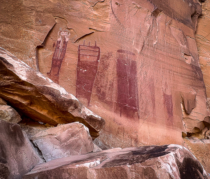
The largest Archaic Barrier Canyon style pictographs seen in Black Dragon Canyon.
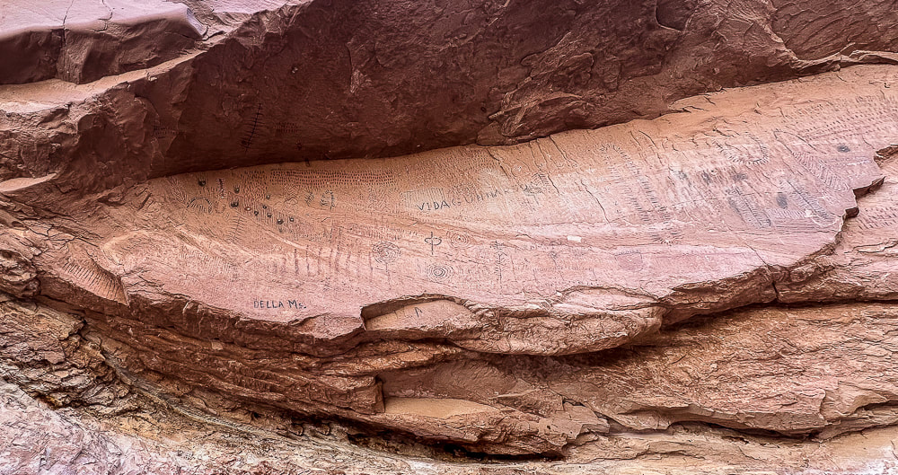
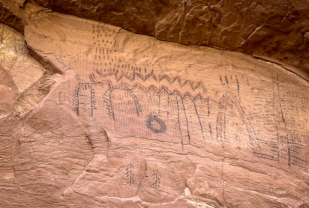
Black Dragon Canyon pictograph panels
We walked up-canyon a few miles toward the Swell. Black Dragon Mine (uranium) is located on the south side of the canyon. We saw what looked to be the remains of an old truck and some mining tailings. We saw a few mountain bikers riding down-canyon; there's some great biking routes in the San Rafael Swell. So many reasons to love Utah and the American West: intriguing Native American rock art, infinite forms of warm-colored weathered sandstone, so much open area to move around in, and its beautiful peace.
As I write this post, I look forward to sharing our Crack Canyon adventure in this majestic and silent land. Silent, and I can feel every once in awhile the spirits of those who traveled these canyons and plateaus, who painted and pecked images on walls hundreds and thousands of years ago.
"Time and space. In the desert there is space. Space is the twin sister of time. If we have open space then we have open time to breathe, to dream, to dare, to play, to pray to move freely, so freely, in a world our minds have forgotten but our bodies remember. Time and space. This partnership is holy. In these redrock canyons, time creates space--an arch, an eye, this blue eye of sky. We remember why we love the desert; it is our tactile response to light, to silence, and to stillness."
- Terry Tempest Williams from Red: Passion and Patience in the Desert. 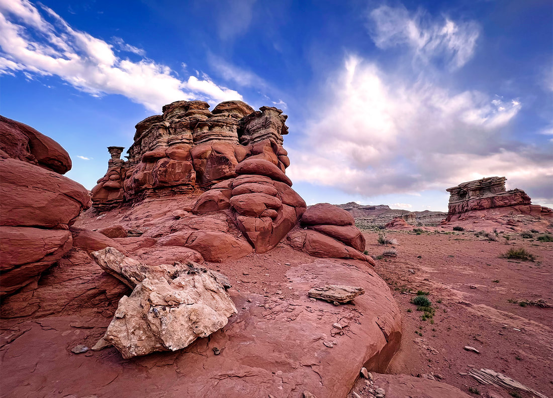
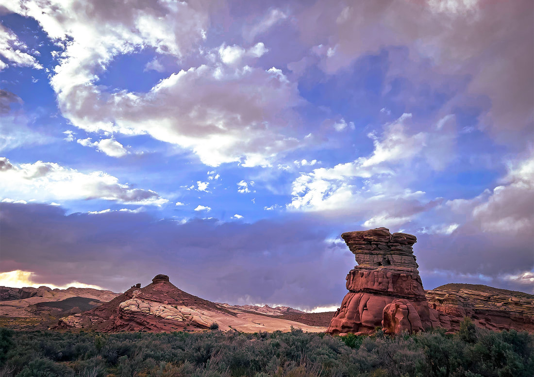
Both images above near Black Dragon Canyon at dusk.
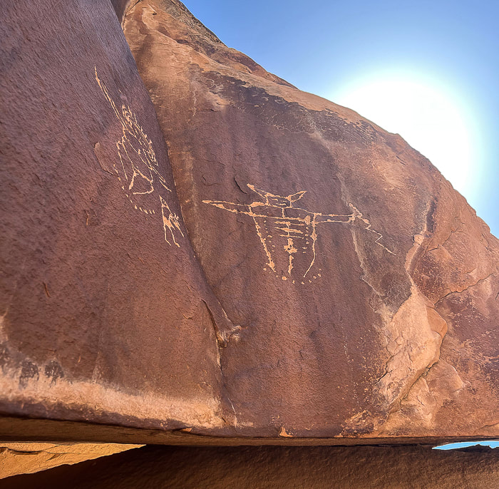
Fertility petroglyphs?
Driving up Black Dragon Canyon a little further to park and hike up-canyon, we spotted these petroglyphs high up on a huge boulder - supposedly a man and a woman and Kokopelli, the fertility deity and flute player. The only reference I could find was a hiking website that described these as a "fertility scene". Kokopelli has a backpack with what might be seeds and the same small peck marks are arranged in a crescent shape beneath each figure, and on the man. 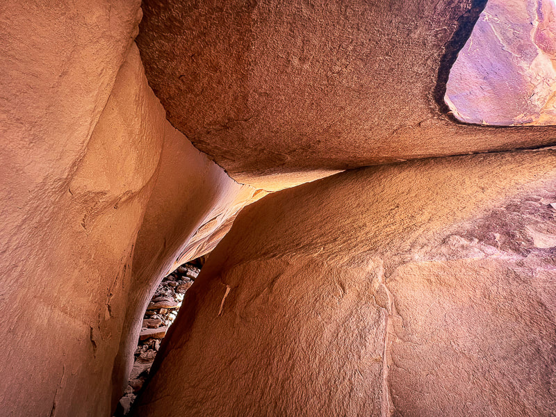
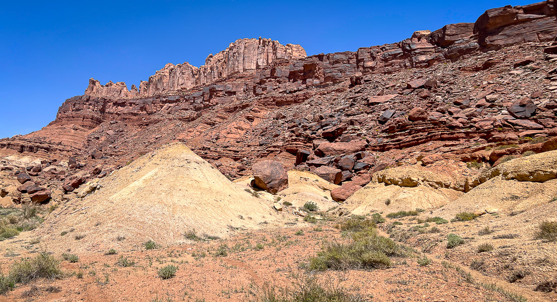
The hike up Black Dragon Road passes near the Black Dragon Mine, whose main commodity was uranium.
This road is a mountain-bike route to the plateau area of the San Rafael Swell. 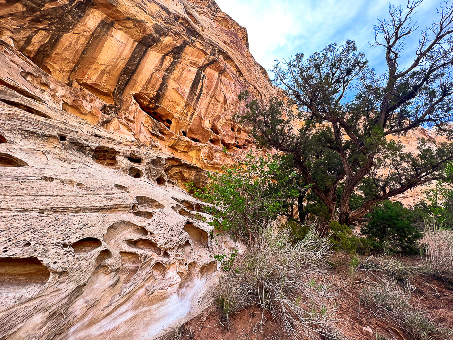
Wild Horse Creek in the reef south of Black Dragon Canyon.
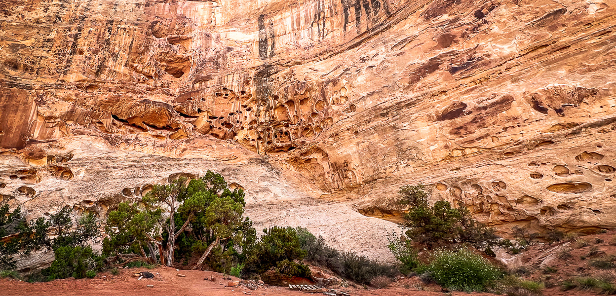
A camping spot surrounded by tall walls of honeycomb weathering in Wild Horse Creek Trail, a creek south of Black Dragon Canyon that transects the reef.
Sandstone detail in Wild Horse Creek.
Along the mining exploration road leading out of Black Dragon Canyon. A great road for mountain biking.
Arches in Spring Canyon, on the way to Black Dragon Canyon.
Some cool stuff on the trail and in the Green River State Park Campground.
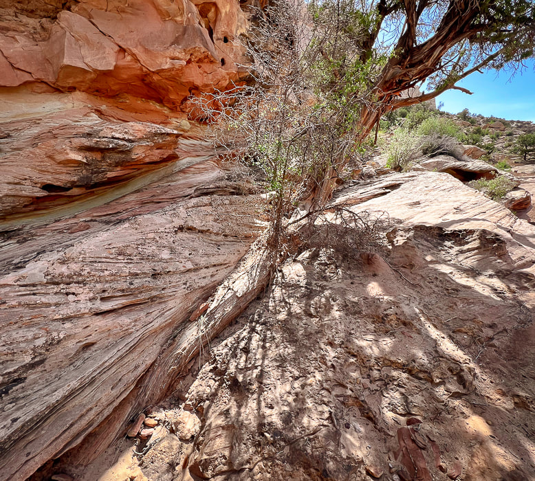
Juniper tree trunk blending with sandstone cross-beds.
References
Allee, P.A. et al. The Black Dragon Solar Solstice Markers and Calendar. utahrockart2.org. Demarco, E. 'Winged Monster' on Ancient Rock Art Debunked by Scientists. Science website, August 25, 2015. Geggel, L. 2015. "Winged Monster" Rock Art Finally Deciphered. from LiveScience website. The Eared Grebe. From the Cornell Lab All About Birds website. Mitton, J. 2020. Controversial Interpretations of the Black Dragon Pictograph. Colorado Arts and Sciences Magazine. University of Colorado - Boulder. Sucec, David. The B.C.S. Project: Barrier Canyon Rock Art Style. www.bcsproject.org/barrierstyle.html From saguaros to pines, walk through five Sonoran biomes to get to this "sky island" that stands almost one vertical mile over Tucson. 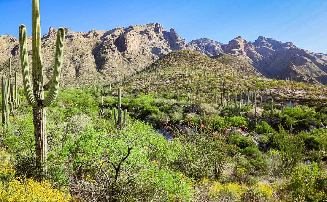 Beginning of hike with view of Mt. Kimball (rounded green peak in the distance). The brittlebush and ocotillos are in peak bloom. We were a bit too early for the saguaro blooms. Trip Stats Overview: Walk up Finger Rock Canyon, keeping its namesake spire in view, among many saguaros and ocotillos followed by a steep, rocky climb along the canyon's east wall. At a grassy plateau, arrive at the path to Finger Rock. Keep climbing, passing Linda Vista, finally entering into a forest of alligator juniper and ponderosa pines. Stand far above Tucson and mountain ranges to the south and even with the high points of the northwest Santa Catalinas. Location: Coronado National Forest - Santa Catalina Mountains - Pusch Ridge Wilderness - Tucson Distance/Elevation gain: 9.7 miles out and back/4,200'. Trailhead = 3,051', Summit = 7,258'. Difficulty: Challenging Class 1 Coordinates: Trailhead (Finger Rock/Pontatoc parking lot) = 32.33658, -110.91. Summit = 32.37728, -110.87904 Maps and Apps: Green Trails Maps: Santa Catalina Mountains Prominence: 1,098' Considerations: No dogs allowed in Pusch Ridge Wilderness Bighorn Sheep closure area, a portion of the Pusch Ridge Wilderness. Native peoples: Desert Archaic (2500 BC - 200 AD). Followed by Hohokam, who were "masters of the desert" until AD 1450, and O'odham peoples who still inhabit southern Arizona. O'odham means "the people". History: Named after Frederick E. Kimball, a land developer who influenced the building of road up to the Santa Catalina's highest summit, Mt. Lemmon. The Finger Rock Canyon trail to Mt. Kimball, one of the highest in the Santa Catalina Mountains, treks through gorgeous Sonoran landscape, meandering through wash and canyon lowlands, close to saguaros, gaining 400' in the first mile. That easy grade ends abruptly at mile two, when you encounter the first of many rock steps on a steep trail that climbs an average of 950' per mile to the summit. The south summit slope bestows a birds-eye view of Tucson, the north side a perched outcrop view of canyons below your feet and the rugged peaks of the western Santa Catalinas. Fred and I have been hiking this mountain ever since we started visiting Tucson to get out of Idaho high country's somber and snowy springs. This established Class 1 trail was a welcome change from the past few months of non-trail, route-finding, scrambling ascents in Utah and Nevada. Great to not have to navigate or continuously hunt for a route or the trail, but instead let the trail take us to the top. On this trip, we first stopped near Kingman, Arizona to attempt Mt. Tipton, but the unmarked 3,500' gain entailed miles and of shrubby terrain clogged with scrub oak and junipers, so we turned around. Islands in the Sky The ability to see the changing scenery of multiple life zones is one of the great features of southern Arizona hiking. The rewards are saguaros and yuccas at the beginning and end, and pine and juniper at the top of your hike, if you are willing to make the thousands-of-feet elevation journey. The Santa Catalina Mountains are but one of the many "sky islands" that rise above the desert. From the Chiricahua mountains in southeastern Arizona to the Sierra San Luis Mountains in Mexico's Chihuahua mountains, these unique, rugged environments support some of the highest levels of biodiversity in the world. Below is a summary of what I learned about biomes and sky islands. I also wrote about this in my Tanque Verde Peak - Saguaro Wilderness post. Southern Arizona mountains are a hiker's paradise. With waterfalls, rugged gneiss and granite rock outcrops to climb over, and wildflowers in spring that represent all of the color spectrum, this desert is surprisingly lush. It is a spectacular land where all elements work together in harmony through monsoons, rains, and killer heat waves, and cool winters. On Mt. Kimball's descent, the other side of the canyon is strewn with hundreds of saguaros clinging to rocky ledges, illuminated by the setting sun. This sight makes you forget about your tired legs. Hike Summary (GPS tracks at end of this post)
 Frost gelato has become a Tucson post-hike tradition! Biomes of the Sonoran Desert
The Santa Catalina Mountains are in the Arizona Uplands, the highest and coldest portion of the Sonoran Desert.
Biome - "Coarse ecological units based on the phenology, lifeform, and physiognomy of the dominant vegetation. - Sonoran Desert Inventory and Monitoring Network - National Park Service. Biomes are determined primarily by temperature and rainfall, and are based on vegetation because plants are easily recognizable components of a biological community. (Dimmitt, 2015). 
Biomes of Sonoran Desert Network Parks
-from Sonoran Desert Inventory and Monitoring Network - National Park Service Desert
At around 3,000' elevation, the first mile or so of this hike begins where the desert biome is transitioning into the thornscrub biome. It wanders through a gorgeous landscape of saguaros, cholla, barrel cactus, and yucca succulents as well as mesquite, creosote bush and paloverdes shrubs. A great biome because plants are tough yet beautiful at the same time. Tough because plants have devised strategies to help them survive, such as thorns as a physical defense against predators, and hair on leaves to shield the relentless sun. Thorns and bristles act to shade and insulate certain crucial parts of cacti. Creosote bush adapts to the hot sun with wax-coated leaves to avoid loss of water. Thornscrub Before ascending the canyon wall at ~ 3,500', the landscape is transitioning to this biome, continuing with mesquite trees and catclaw (acacia) shrubs. Thornscrub has short trees with cacti, and is denser than desert biome. Vegetation grows lush with a lot of wildflowers. The climate is nearly frost-free (tropical). Plants shed leaves during dry season (drought-deciduous). Semi-desert grassland As the trail climbs just past 4,000 feet, a noticeable change in vegetation occurs: saguaros become scarce as the ridge is dominated by ever-increasing fields of bunchgrasses, oak and juniper. Calming, muted and soft neutral grey/greens replace bright primary colors of the lively, unrestrained desertscrub. Sotol, creosote and agave mix with a diverse array of grasses. As the trail gradually climbs, junipers become more prevalent. This land supports more succulents and shrubs. Hot pink Parry's penstemon add color to this landscape. Madrean Evergreen/Pine/Oak Woodland At the intersection with the trail to Finger Rock, ~ 5,200', larger trees such as alligator juniper appear. Evergreen oaks like Emory oak and Arizona white oak along with Mexican pinyon pine dominate this biome, named after its origin in the Sierra Madre mountain range that runs through Mexico and along the Gulf of California. These are subtropical woodlands. Temperate Forest A unique characteristic of the Sonoran temperate forest biome, officially beginning at around 6,000 feet elevation, is the cohabitation of lower-elevation desert plants, such as the yucca with spruces, pines, firs and maples. Species diversity reigns, although seemingly not to the degree of the desertscrub biome. Temperate forests are very cold-hardy and confined to cooler sites above the Madrean evergreen woodland. One of my favorite parts of this trail is where it crosses the creek to climb up to the intersection. The forest has some Ponderosa pines (reminds me of Idaho). At the top of Pima Trail, just below Kimball's summit, there are large alligator junipers to admire. 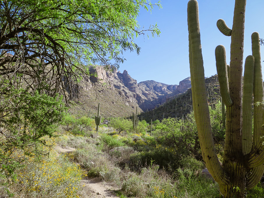
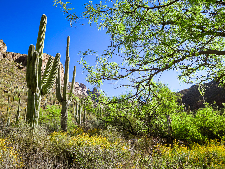 Beginning the canyon climb with Finger Rock on the opposite canyon rim (small rock tower just left of tree on horizon). 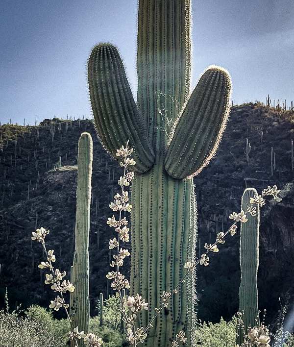 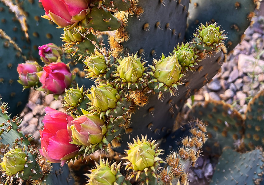 The promise of a super-bloom after an unusually wet winter. This photo was taken at our rental property in Tucson. 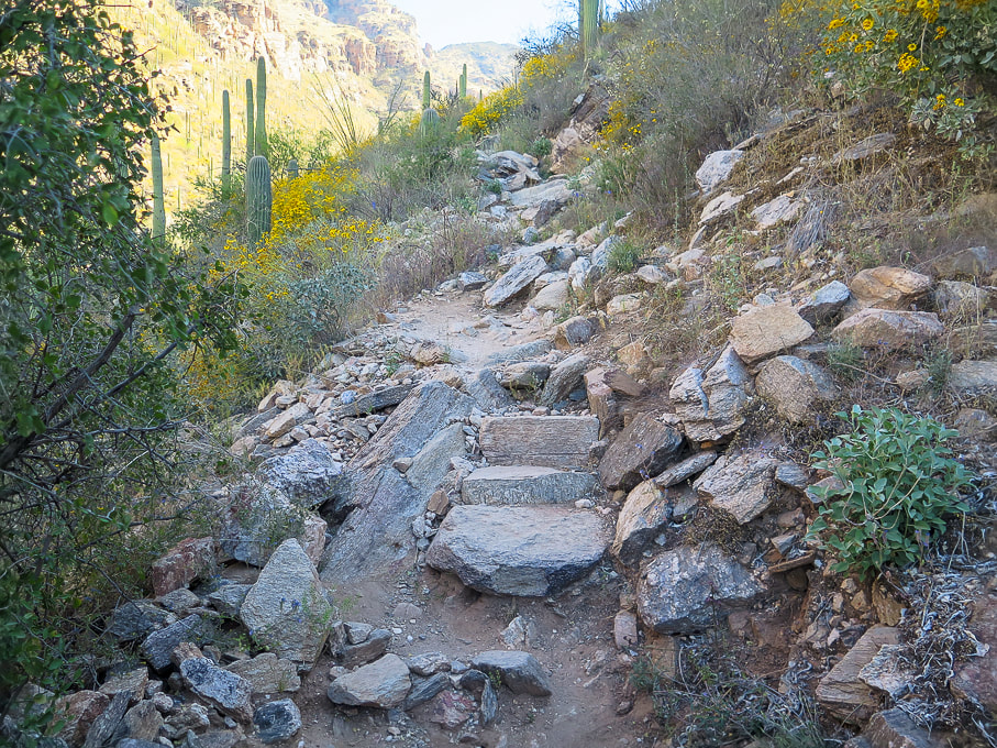 Near beginning of east canyon wall climb. 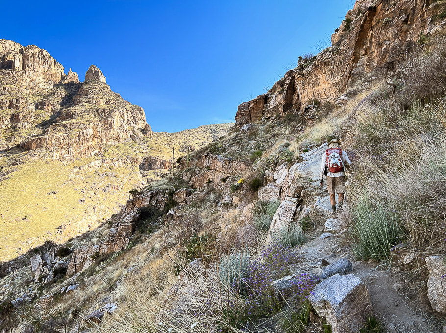 On east canyon wall entering semi-desert grassland biome. Getting closer to Finger Rock on the horizon. 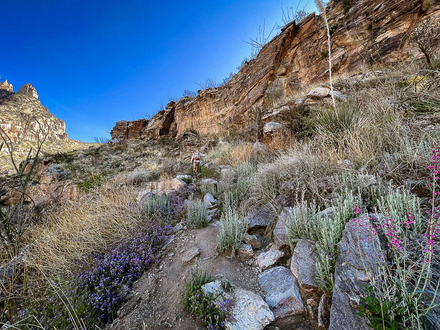 Finger Rock at far left. 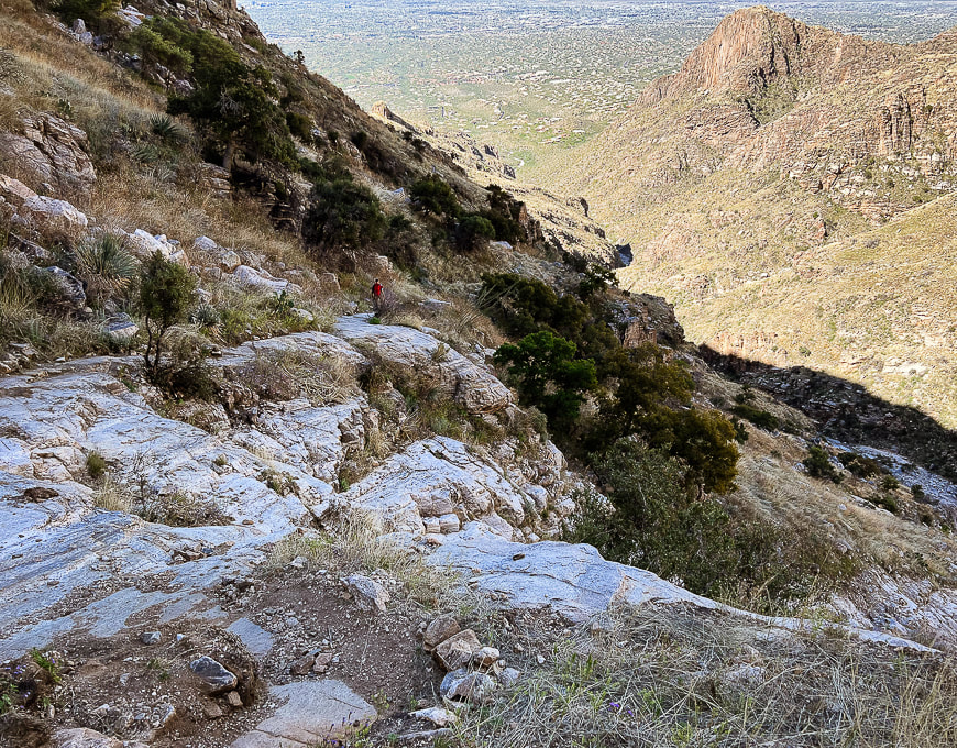 Looking down-canyon at city of Tucson. 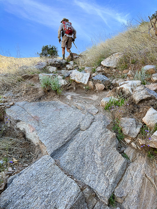 Climbing up toward intersection with side trail that goes to Finger Rock. Walk on bedrock this portion of the hike. 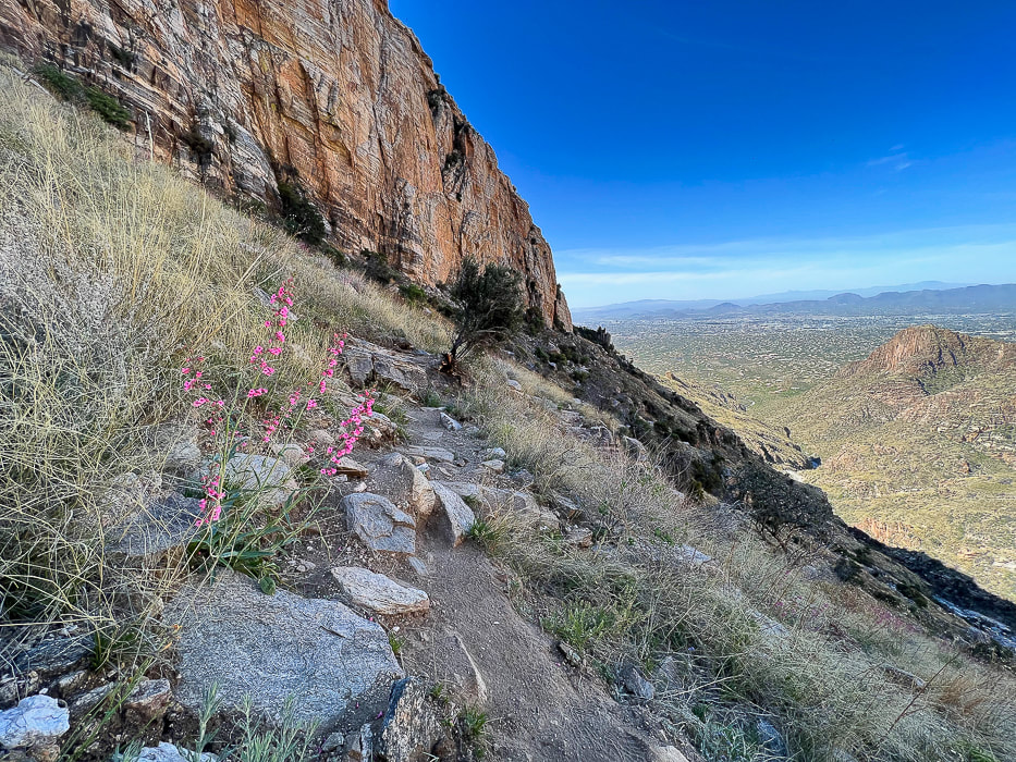 Looking back down canyon with Parrys penstemon in grassland biome.  Intersection of our trail (Finger Rock Trail) and a trail that leads to Finger Rock on left side of canyon.  If this old alligator juniper could talk....  Continuing up to saddle and some awesome rock formations.  Looking back at Linda Vista; there's a short trail that goes to the saddle at mid-horizon for a great view of Tucson.  Getting closer to the intersection with the Pima Canyon Trail. Looking at Mt. Kimball's thick pine/oak/chaparral vegetation at left horizon.   Looking back down Finger Rock Canyon; the prickly pear are studded with lots of flowers. 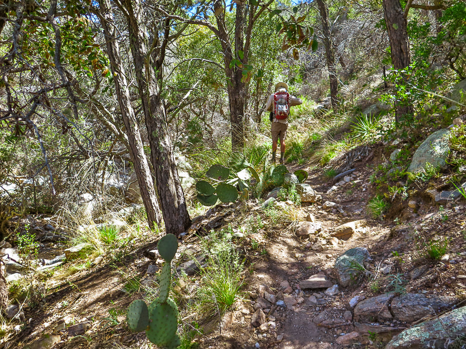 Madrean Evergreen/Pine/Oak Woodland Madrean refers to the Sierra Madre mountain range that runs through Mexico and along the Gulf of California. 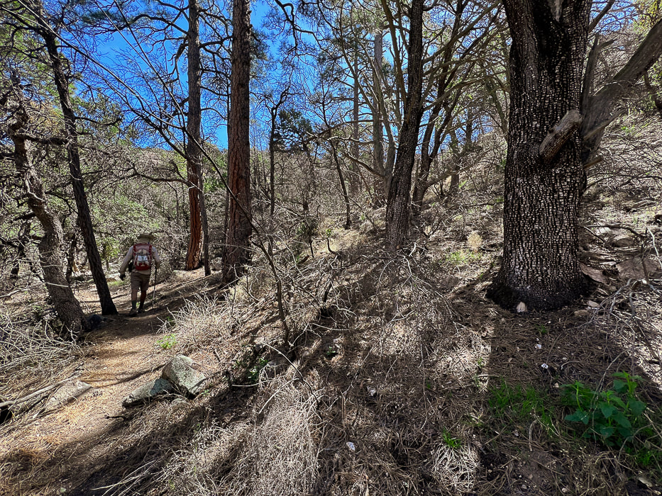 Temperate forest - one of my favorite portions of this hike, however sadly affected by recent wildfire. 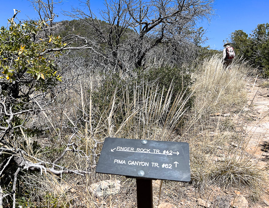 Intersection of Finger Rock Trail and Pima Canyon Trail. Finger Rock Trail continues to Window Peak and intersection with Ventana Canyon to the east. Follow Pima Canyon trail. Mt. Kimball seen above! 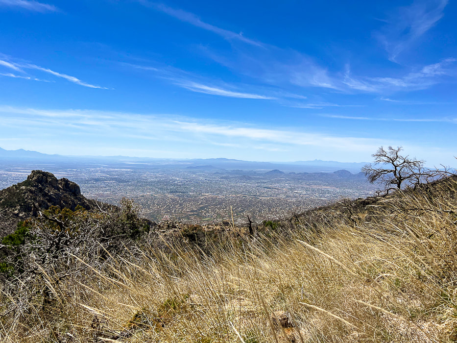 Nearing the summit - killer views of Tucson and mountain ranges to the south and southwest. 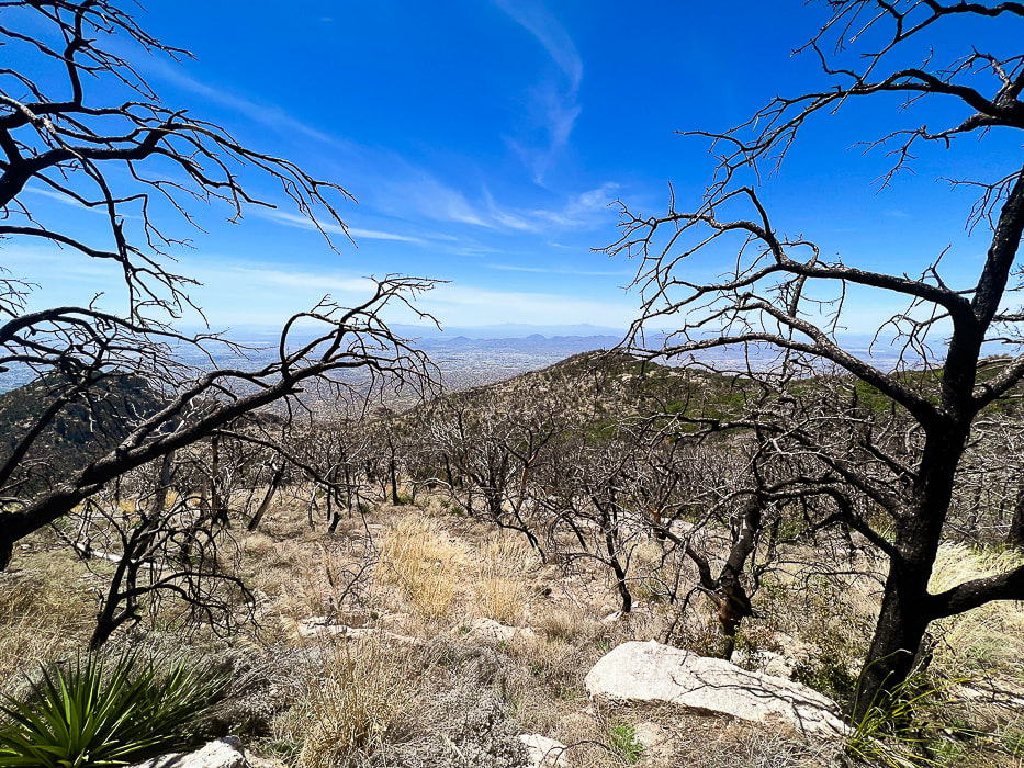 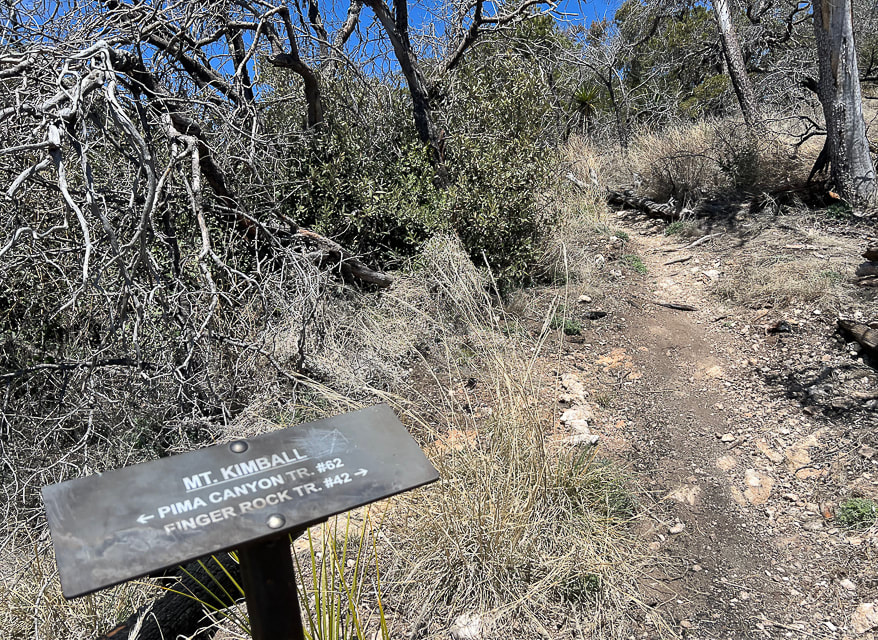 The point at which you turn off the Pima Canyon Trail and hike on this spur trail to Mt. Kimball's summit. 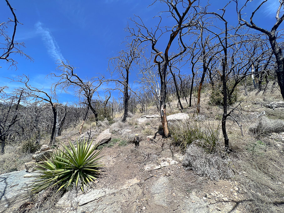 We left Pima Canyon Trail early, before the sign that indicates Mt. Kimball on the way up and went through this badly burned area. On the way down, we hiked the more-traveled spur trail to the sign. 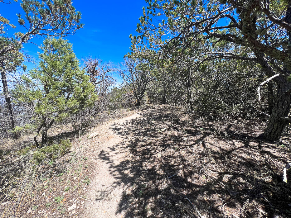 Spur trail to summit 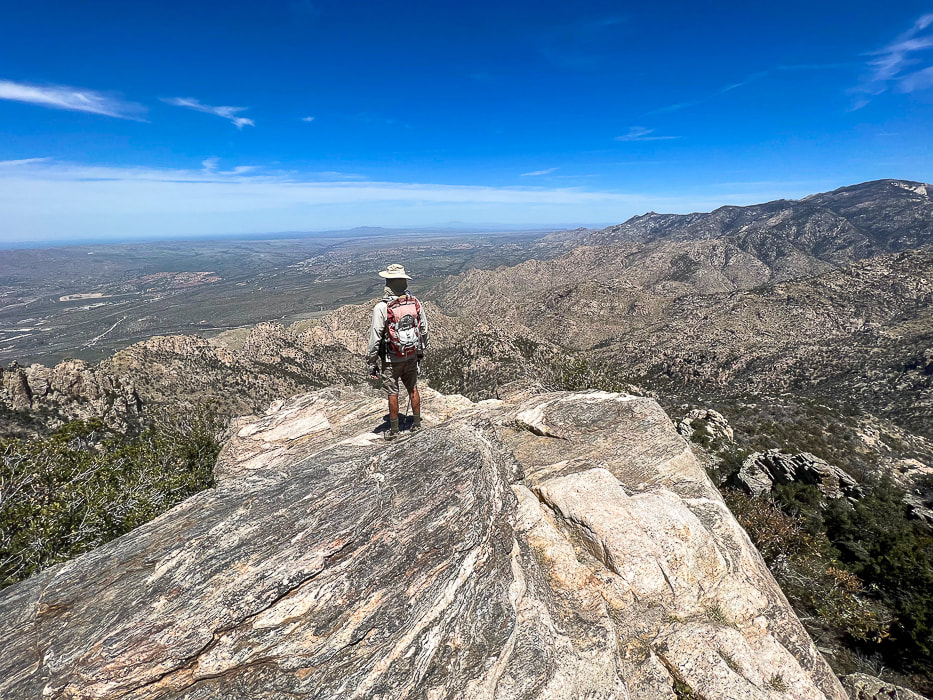 The summit of Mt. Kimball once again! View to the north toward Catalina State Park and the western Santa Catalinas. 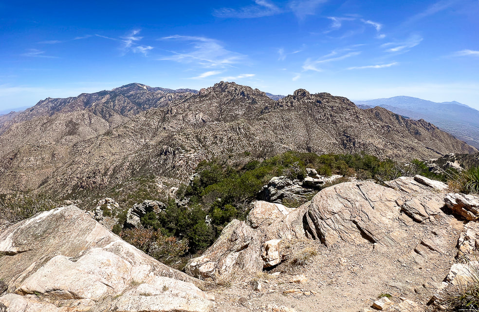 View of the southwestern Santa Catalinas and Tanque Verde ridge east of Tuscon on far horizon. 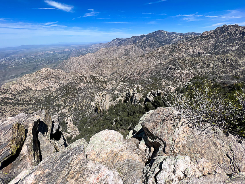 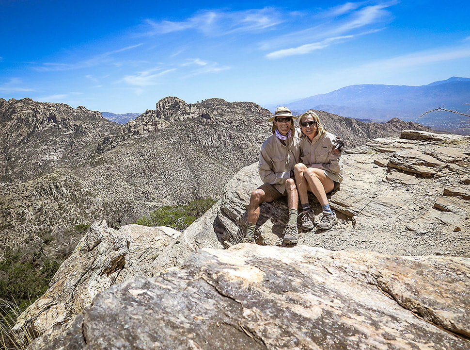 Fred and Sue: happy that we can still hike this summit! 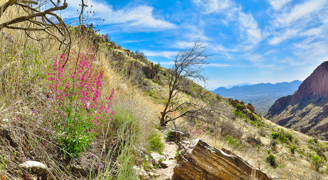 On the way back down; my favorite forb - pink Parry's penstemon. 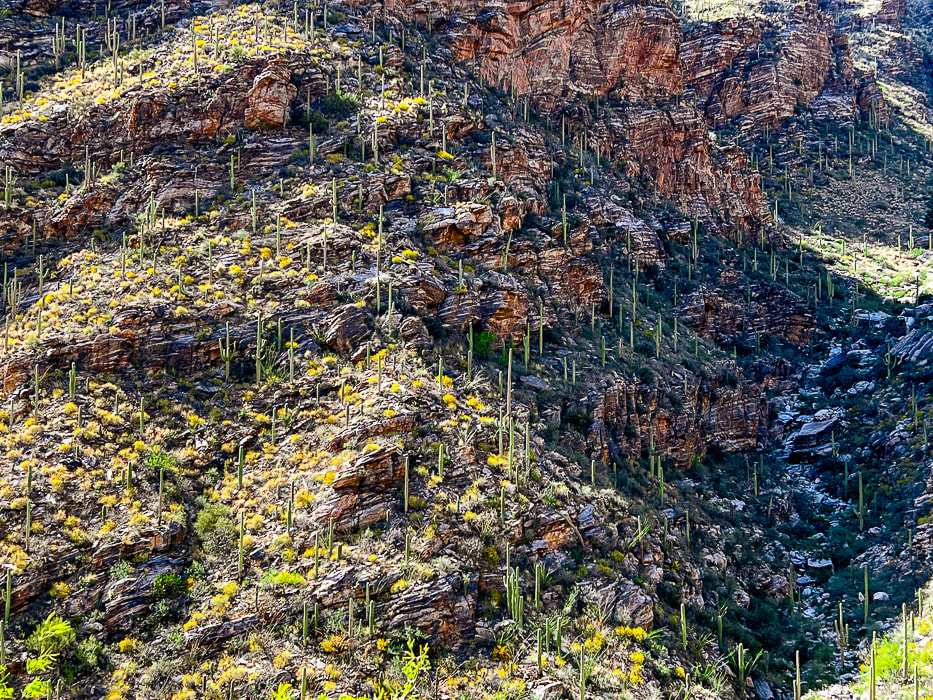 Finger Canyon's southeast-facing wall on the way down. Thinking about the Frost Gelato in our near future at this point. 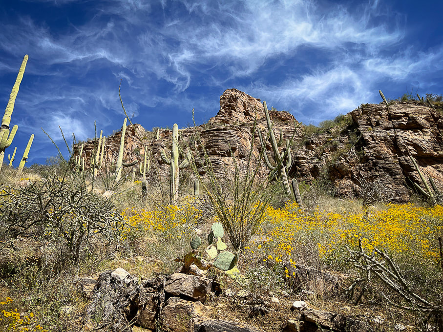 The beauty of the desert/thornscrub biome: saguaros, brittlebush, ocotillo, cholla and prickly pear. Cool stuff on the trail. 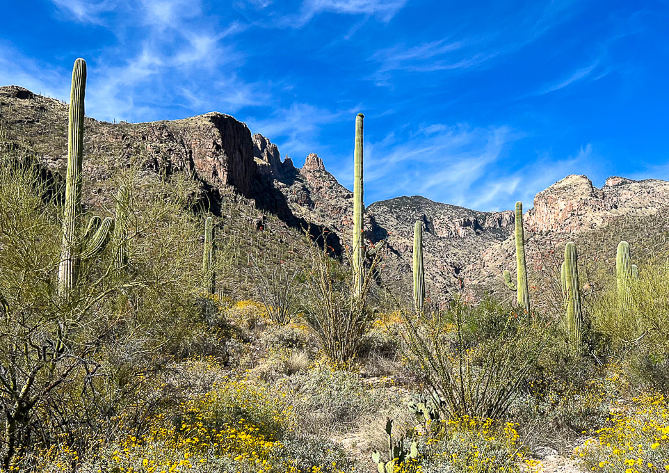 Parting shot: sun shining on The Finger left side of canyon and Mt. Kimball. Getting really close to that Frost Gelato! Great day on this sky island with beautiful weather. 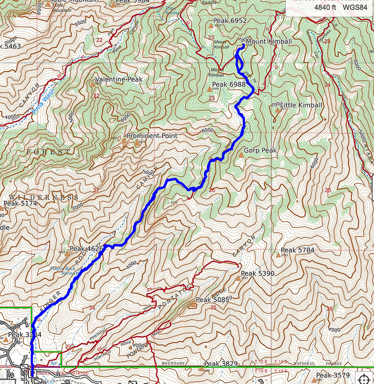 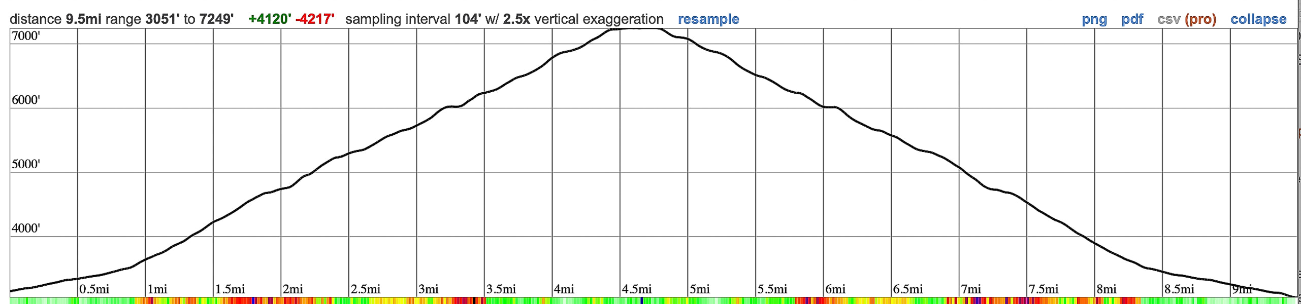 GPS tracks and elevation profile for Mt. Kimball, Pusch Ridge Wilderness, from CalTopo. 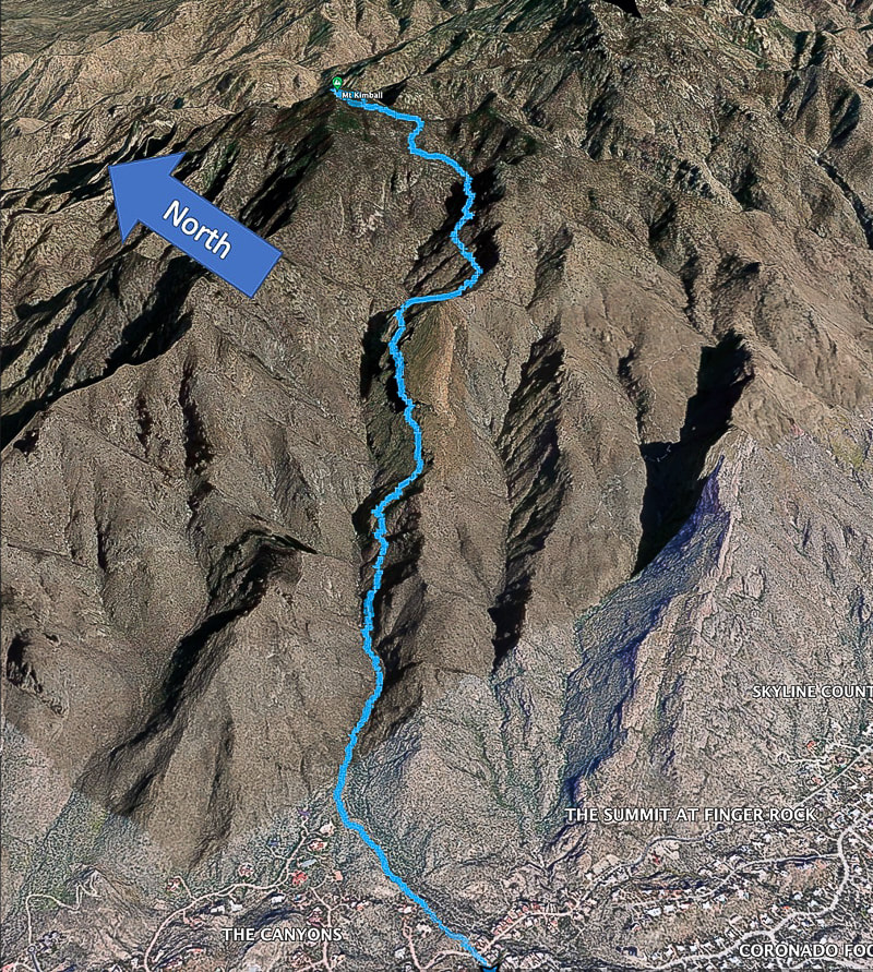 Google Earth image of our GPS tracks. References
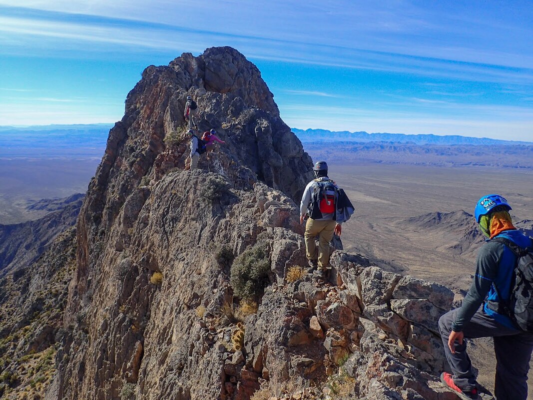
Bezy, J. V. 2016. A Guide to the Geology of the Santa Catalina Mountains, Arizona: The Geology and Life Zones of a Madrean Sky Island. Arizona Geological Survey. Mt. Kimball. Summit Post website. Dimmitt, et al. 2015. A Natural History of the Sonoran Desert. Arizona-Sonora Desert Museum Press and University of California Press. The Sky Islands. From website: Sky Island Alliance. We met our match on Moapa Peak's fabled "knife edge" final ascent, and came within 160 feet of the summit.
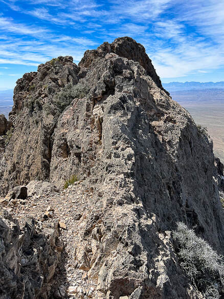
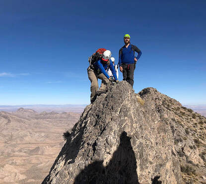
Left photo: the final ridge to Moapa's summit. We climbed 3,200' to the high point in the foreground (seen just under the summit in photo), then turned around because this knife's edge seemed too exposed. Right Photos: knife edge from The First Church of the Masochist website, whose party made the summit. Trip Stats
Overview: An enormous gray fin sticking out of the desert floor, Moapa Peak's knife-edge ridge tests the hiker's fear-of-heights-and-exposure factor. Ascend a pretty braided stream wash and then prepare for a steep, rugged climb over sharp limestone the rest of the way, negotiating a few Class 3 rock faces, paying close attention to rock cairns that mark an elusive trail that aggressively elevates you to sneak under Moapa's southern summit block. Gashes, chasms and sheer walls appear as you hike, with spectacular views of the empty desert far below. Descriptions of the final exposed ridge to the top include "exhilirating", "thrilling", and "incredibly fun." Location: Southeast Nevada, Mormon Mountains - Bureau of Land Management. Distance/Elevation gain: Trailhead = 3,134'. Summit = 6,471'. Our hike = 7 miles to 6,310'. To the summit = 7.3 miles. Difficulty/Navigation/Exposure: easy - moderate effort through wash, strenuous Class 2 and Class 3 on cairned trail, moderate to significant exposure (cliff edges or drop-offs 2-3 feet away) on final ridge. Navigation moderately challenging. Coordinates: Trailhead = 36.83395,-114.44132. Summit = 36.85856,-114.45. Date Hiked: April 2, 2023. Prominence: 1,671' Maps and Apps: Stavislost hike report, Bureau of Land Management - Nevada/Overton topo map. Geology: Paleozoic rocks of Mississippian period - 340 mya. Normal faulting due to Great Basin extension. Lists that contain Moapa Peak: Las Vegas Mountaineers Classics (rank #46), Sierra Club Desert Peaks Section (#52). History: Moapa Valley, south of Moapa Peak is famous for the cantaloupes it produces from its farmlands. Native American word "Mo-a-pa" means a valley or canyon with a large stream of water flowing through it. Related Posts:
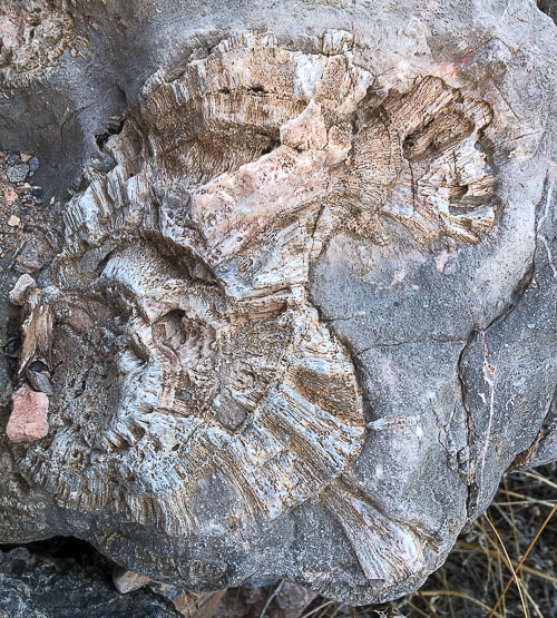
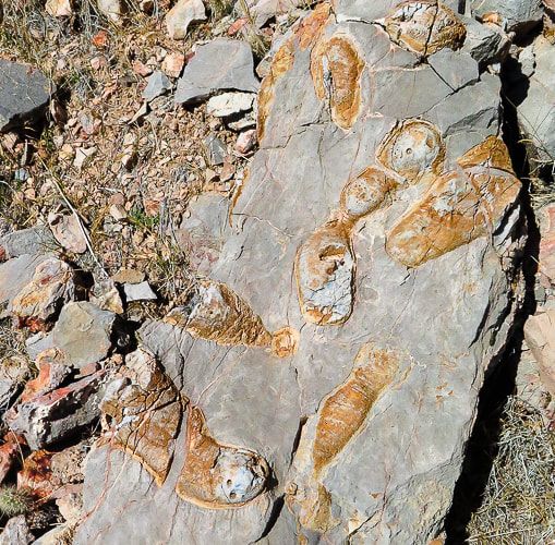
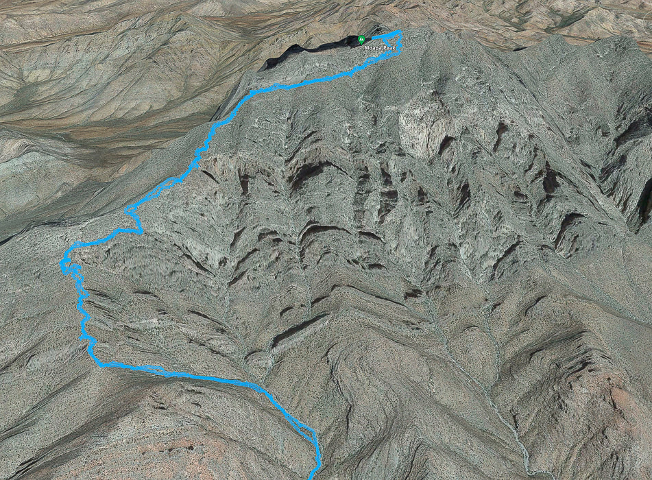 Our GPS tracks from narrow point of wash (bottom) to near Moapa Peak's summit. Out of the wash, the trail climbs to saddle (lower left), then ascends over rock ledges, some of them Class 3, continues along southern base of summit block, then curves around at base of final ridge to summit. more GPX track maps at end of this post Moapa Peak, included on the Sierra Club Desert Peaks Section list is a distinguished, stand-alone hulk of narrow limestone noticeable on the north side of I-15 north of Las Vegas. It's a classic desert peak, well-fortified by a series of almost vertical ramparts at its base. It's one of the more memorable and exposed hikes I've done. Trip reports reveal hikers who have summited, as well as those who reportedly turned around when they saw the final exposed "knife-edge" ridge to gain the last 160'. After skirting around the south cliff face, the route wraps briefly to the north at a saddle, where the Class 3 climbing up the final ridge begins. Although the narrow ridge proved too daunting for Fred and I, the hike was worthwhile because the steep drop-offs give the slight feeling that a few missteps may plunge you into the chasms and canyons below. We found the "trail" mostly stable and easy to follow. The views of the ribs of dark and sharp mountain ranges rising from flat and buff-colored desert washes are spectacular. Occasional fossils appear in this Paleozoic limestone (see photos below). I'm not sure what they are, so if someone knows, please contact me! One of them looks like fish, another looks like petrified wood. Harder than Mt. Katahdin's knife edge? Maine's Mt. Katahdin, it's highest, has a famous "knife's edge" traverse to the summit. Fred and I summited Katahdin when we lived in New England and felt it wasn't too scary. Reports say that it narrows to four feet of width in a few places. I think Moapa Peak, which reportedly narrows to one foot, is more intimidating. Side note: Mt. Katahdin is the northern terminus for the Appalachian Trail. While we were on the summit, we saw a hiker who had just completed the entire trail arrive at the famous terminus sign. I'll never forget the look on his face! Some of his family was there to greet him. Hike Summary
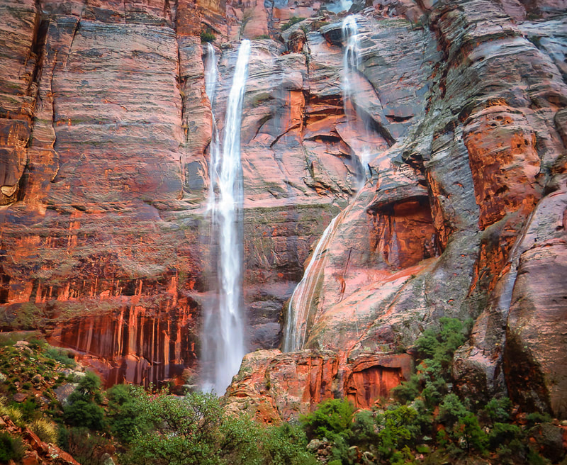
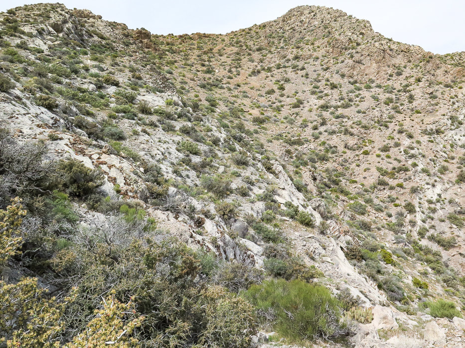
I would avoid doing this hike in the summer months. I know from experience, since we roasted on this hike last summer and turned around at the saddle because of the heat and intense sun. This is a unique hike that not many get to experience. This beautiful mountain won't make it easy for you to gain its summit, or even get to its approach ridge. The Nevada desert is stark and hard and the limestone unforgiving. And, the only flat spot is found briefly on the saddle above the approach drainage. Fred and I are lucky to be able to explore this exquisite part of the southwest. Now when we see Moapa from I-15, we can see how high we got on that very vertical mountain. Keep on Exploring! Get It While You Can! 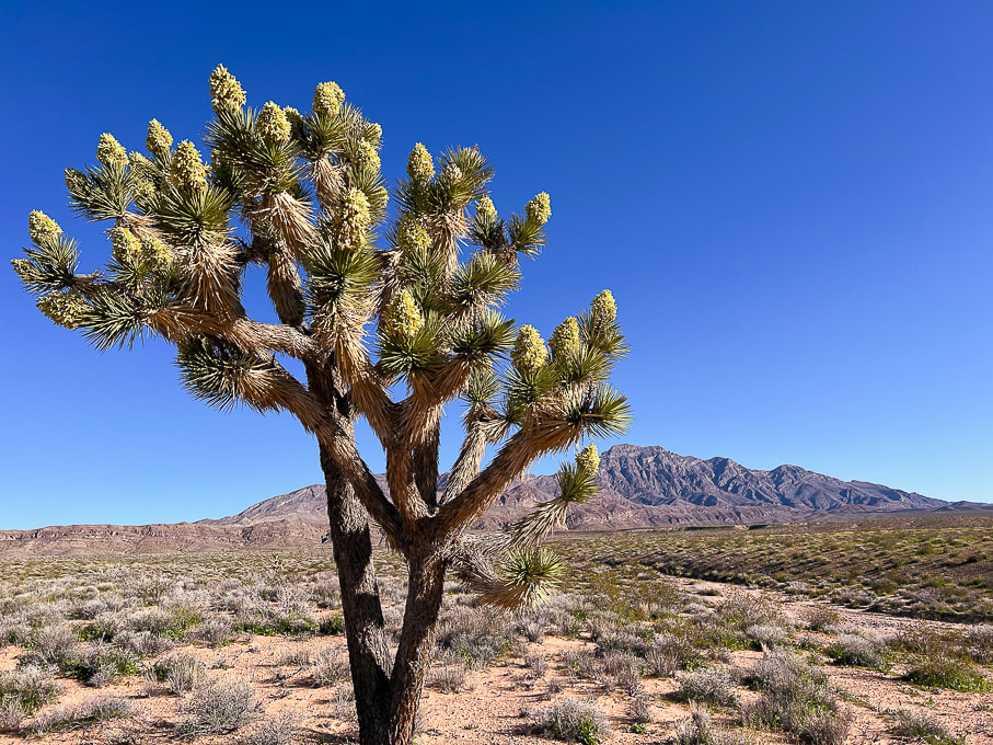 Driving toward Moapa Peak: Joshua Tree in spectacular bloom after a very rainy and cooler than usual 2022-23 winter.  Park near trailhead sign. 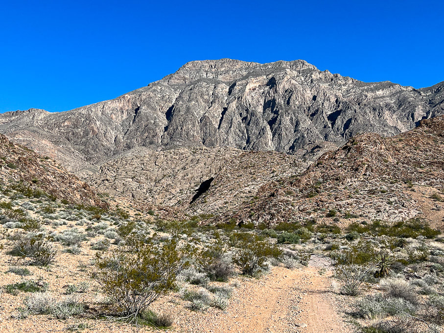 Start by walking on road that leads to approach drainage. Look at what we get to climb! 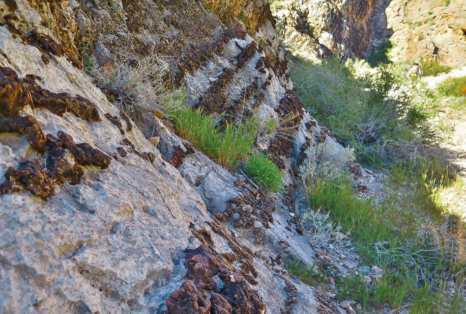 Road passes by impressive display of layered chert in limestone. 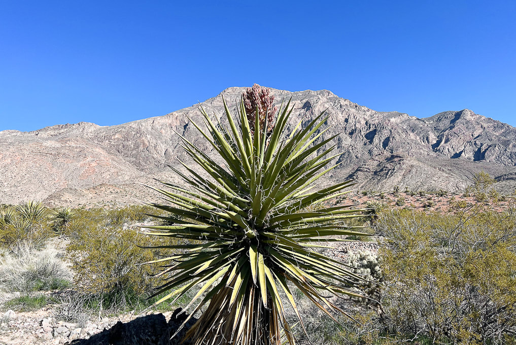 Yucca with bloom in wash - heading to low hill on left side of photo. 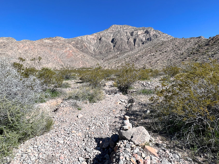 Occasional cairns mark way up braided stream drainage. 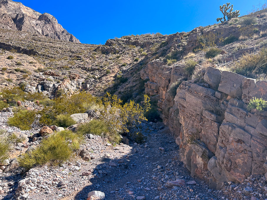 Drainage narrows. 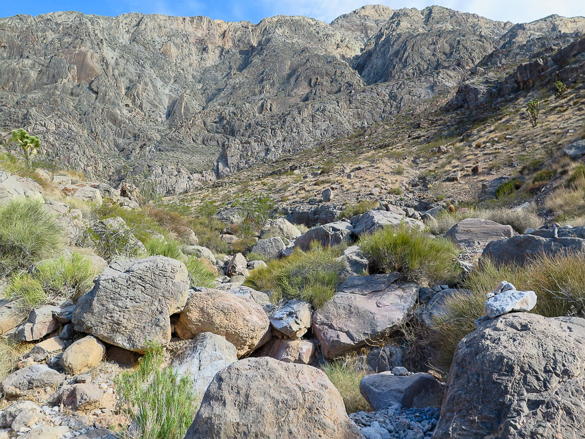 A bit of boulder-hopping and maneuvering as you get closer to head of drainage. Duck on the right boulder. 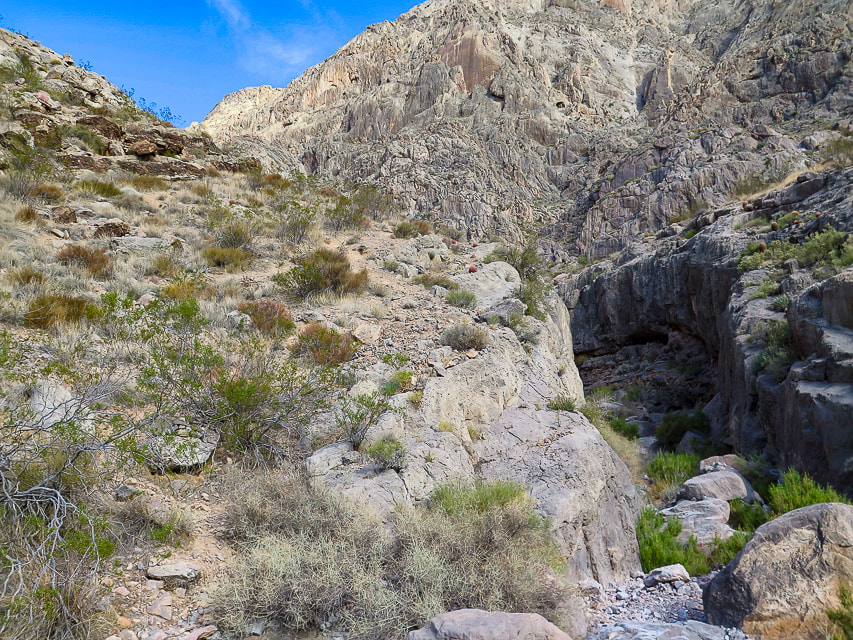 Trail continues left of large dry waterfall - entry to this trail that takes you out of the wash is marked by a cairn. 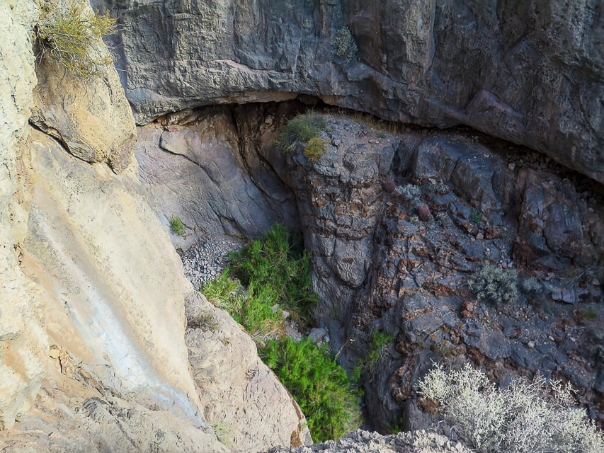 Once out of the wash, everything here is steep! 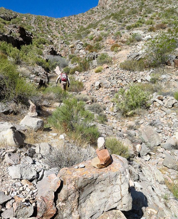 Cairns mark trail that continues up to saddle (top of photo). 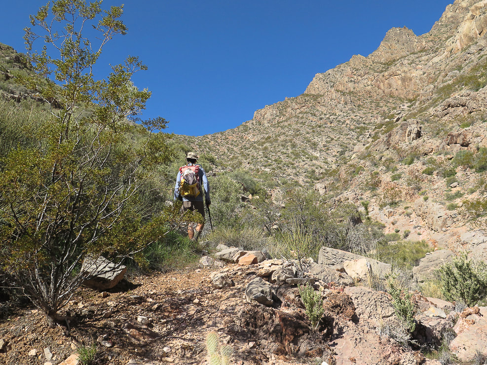 Getting closer to saddle, then the trail goes up and works around the rock ledges ascending from saddle on the right. 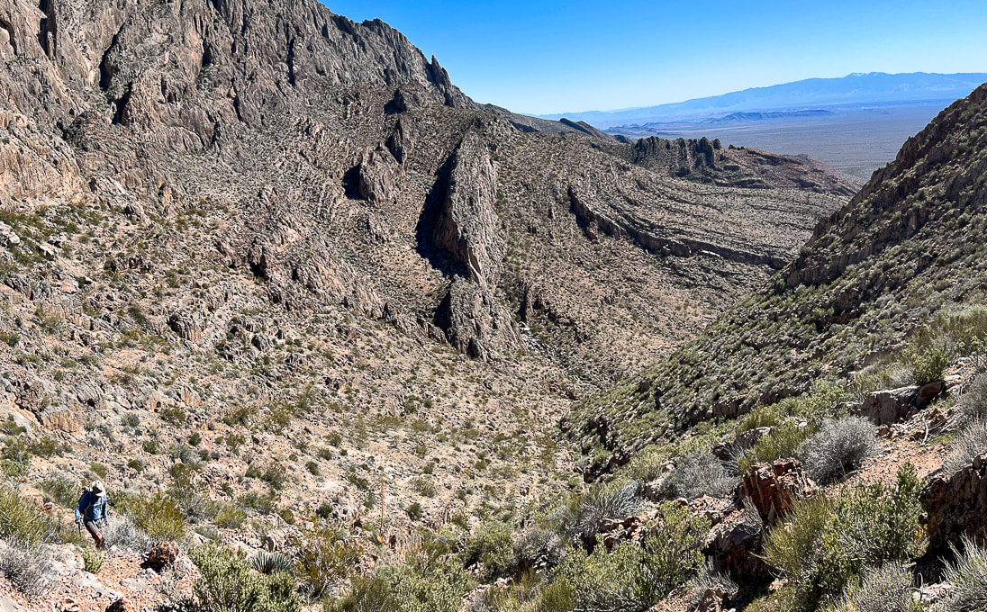 Looking back down toward end of wash from the saddle. 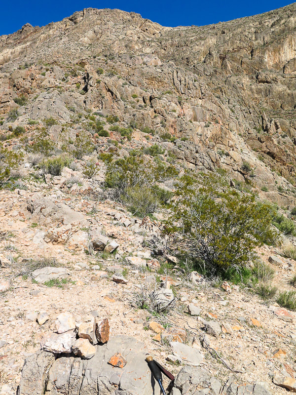 At saddle, cairns mark trail that ascends the ledges and walls to the north, with some Class 3 climbing. 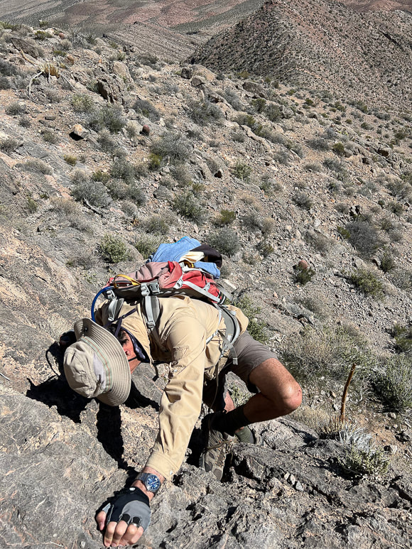 One of the walls to climb to get up over the ledges. 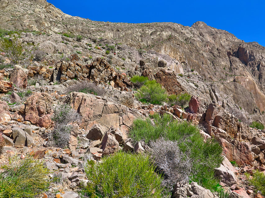 The trail continues over these ledges to the less-steep and more open terrain above at top-middle photo. 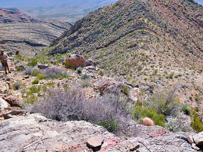 On the ledges section looking back down at the saddle above drainage. 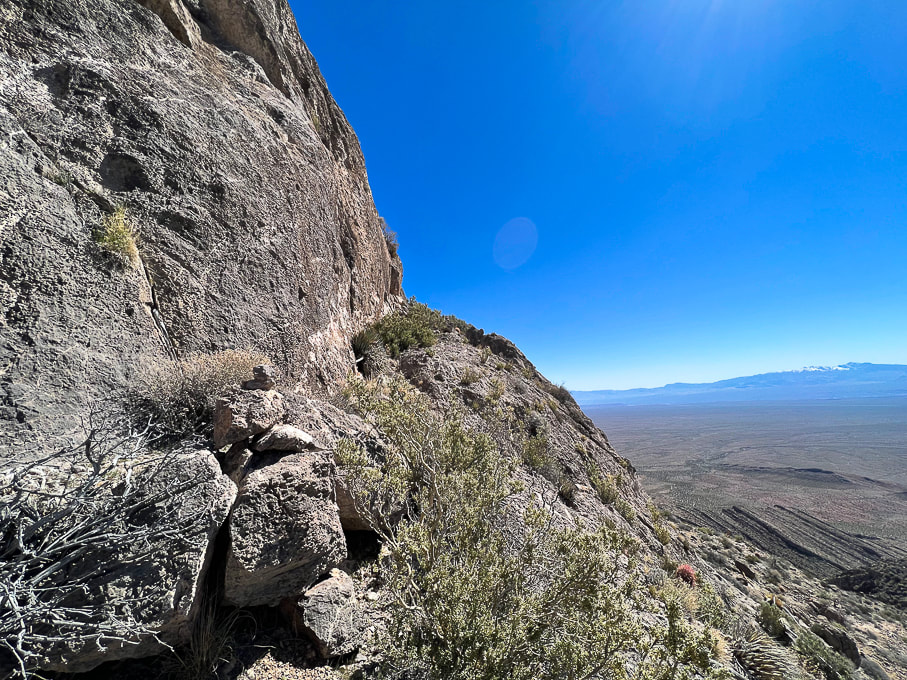 The trail ascends to the left of this huge wall. 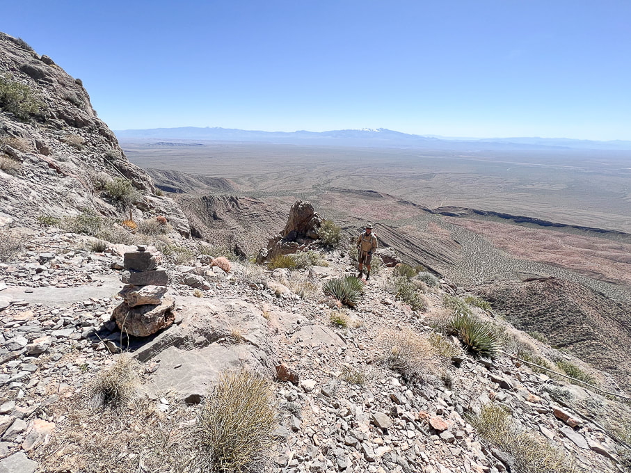 Cairns mark trail as it transitions from the steep ledges to less-steep but narrow "platform". 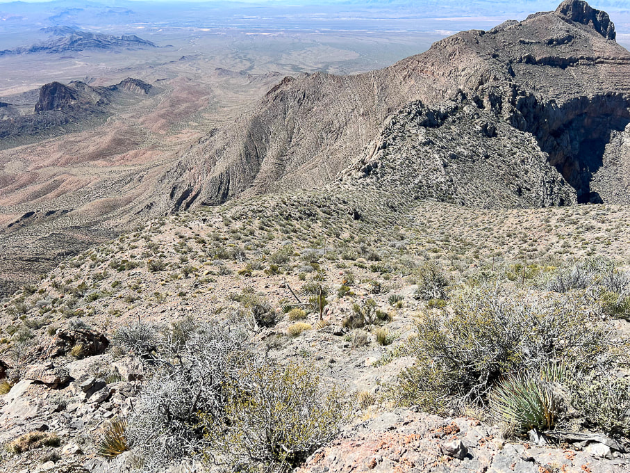 Looking back at relatively flat platform above ledge section. 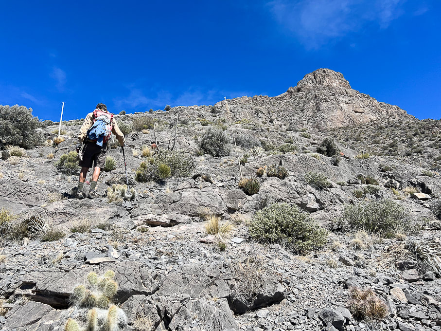 Getting closer to the summit! 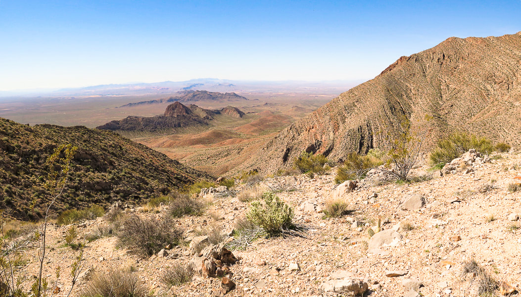 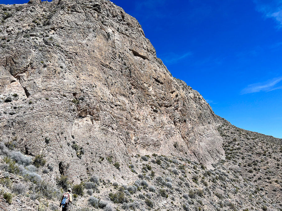 Walking around south face of summit block. 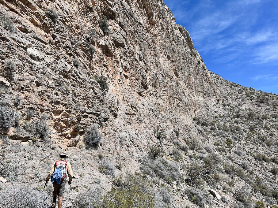 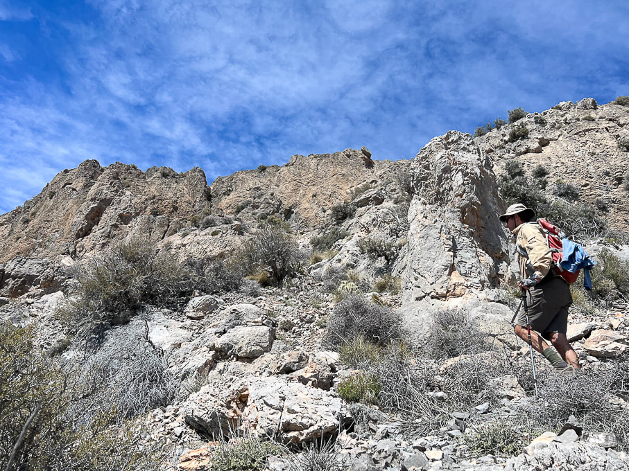 Continuing up toward summit ridge after the walk around south face. 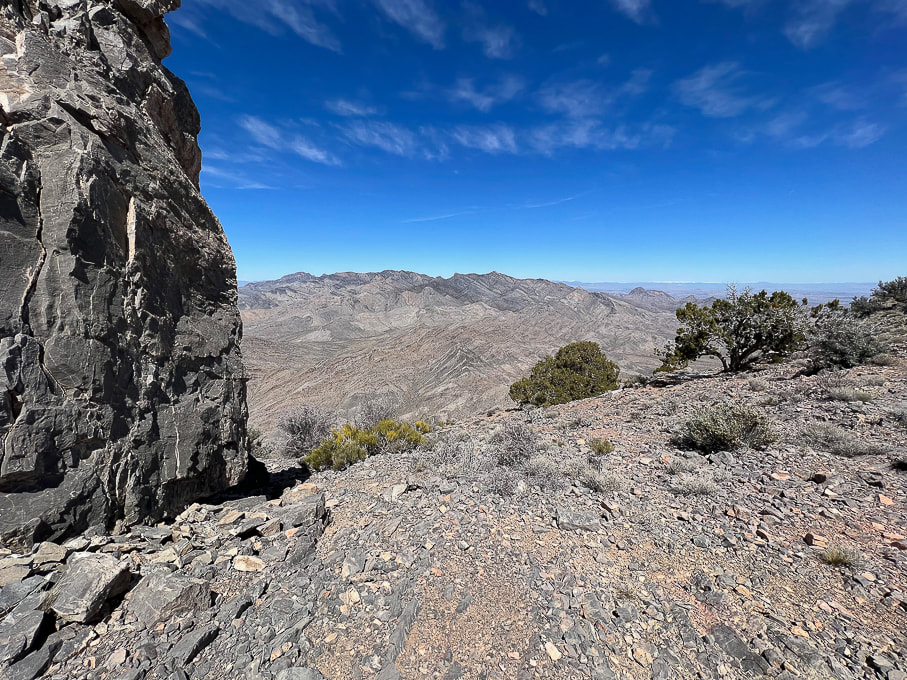 Reach Moapa's east ridge for spectacular views to the north - Mormon Mountains. Travel a short distance around Moapa's east ridge to the left to find cairn marking entry onto the final ridge to summit climb. 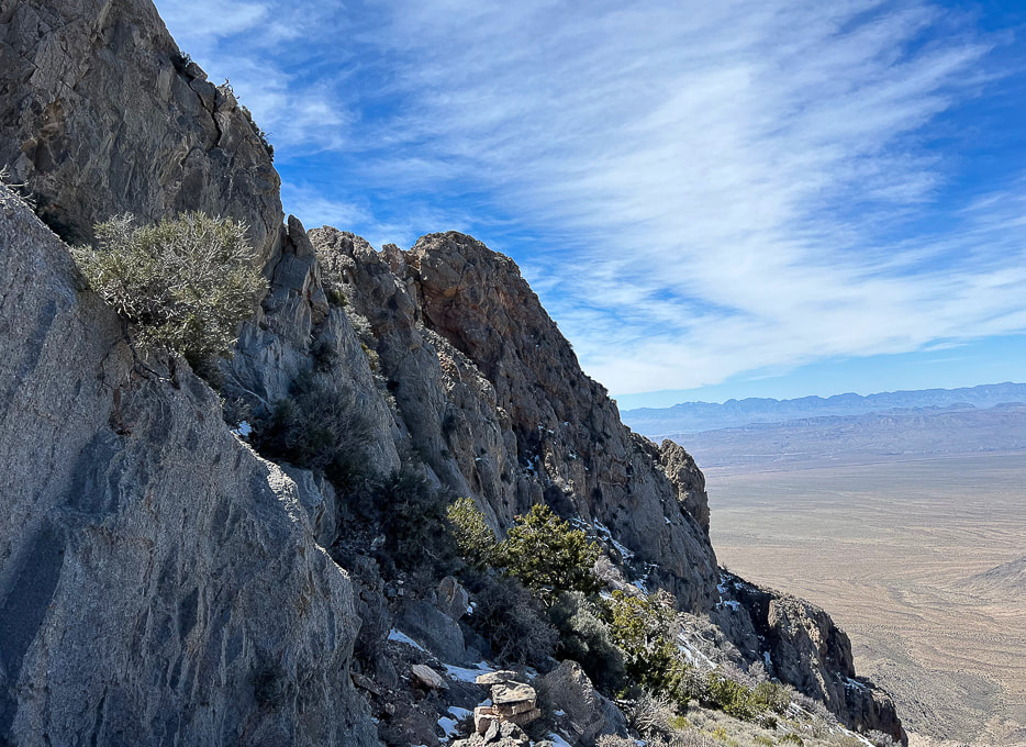 The northwest-facing side of Moapa Peak summit seen here. At first, we missed the cairn to lead us up the walls on the left, so we kept walking along this north side for a short distance. When we didn't see any footprints in the snow here (earlier we met a climber who was on his way down from the peak) and no more cairns, we went back to beginning of the ridge and found the cairn (bottom of photo) marking entry onto the knife's edge part of final ridge ascent. It's here you take a left to find another cairn in the cleft on the left. 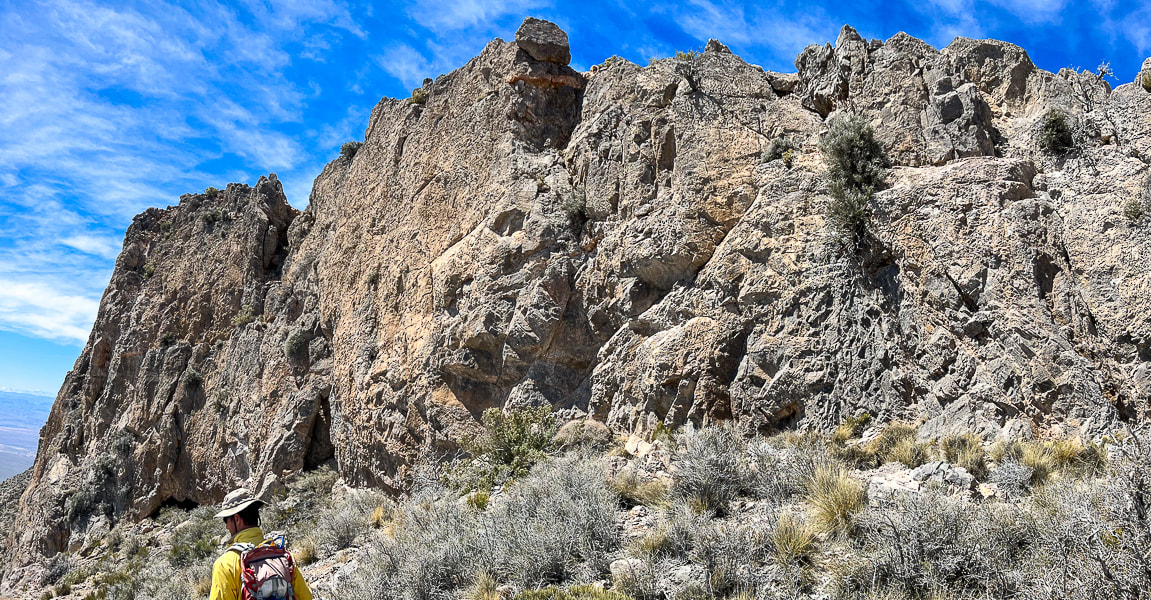 Making our way back down after turning around at scary knife's edge! A bit disappointed we didn't summit, but still really happy we got that far on this unique hike with its breathtaking views and drop-offs, and steep, narrow approach. 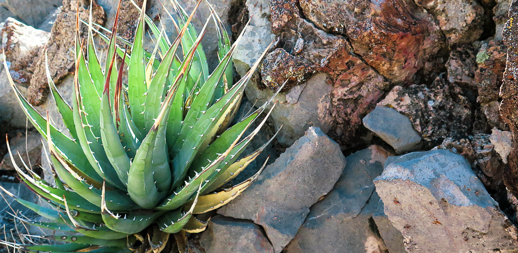 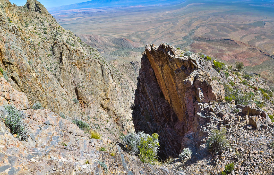 Trail comes close to this deep chasm. 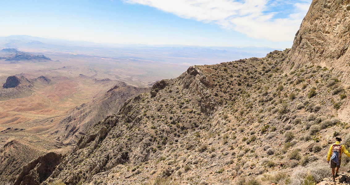 On the way back heading toward saddle that leads to platform above the ledges section. 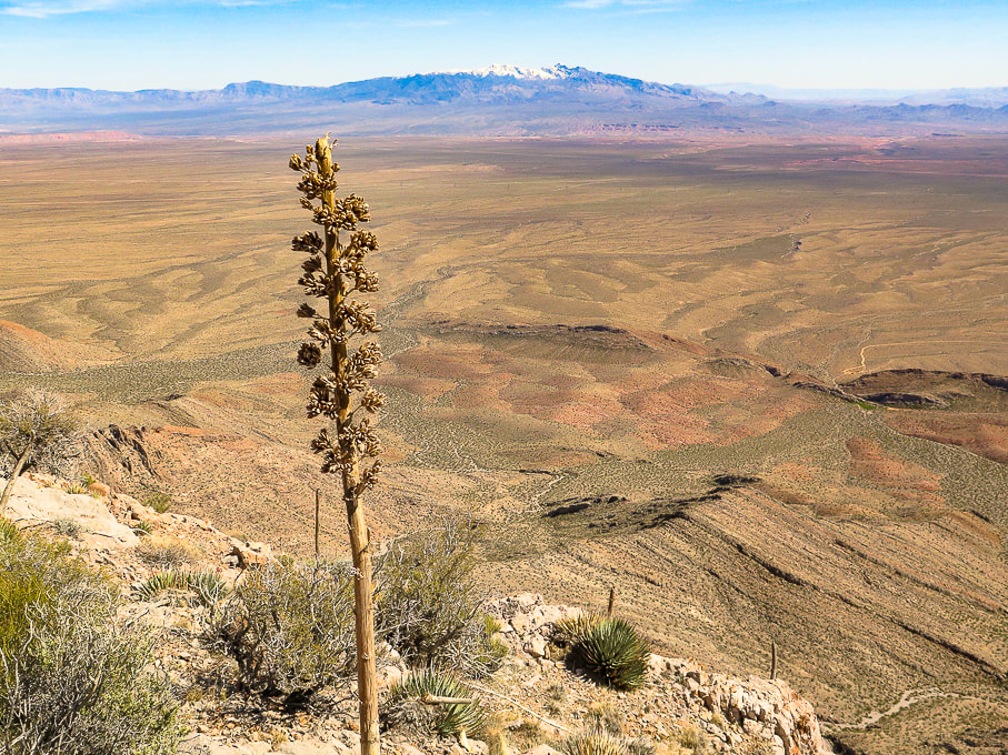 Snow-covered Virgin Peak in the distance to the east. 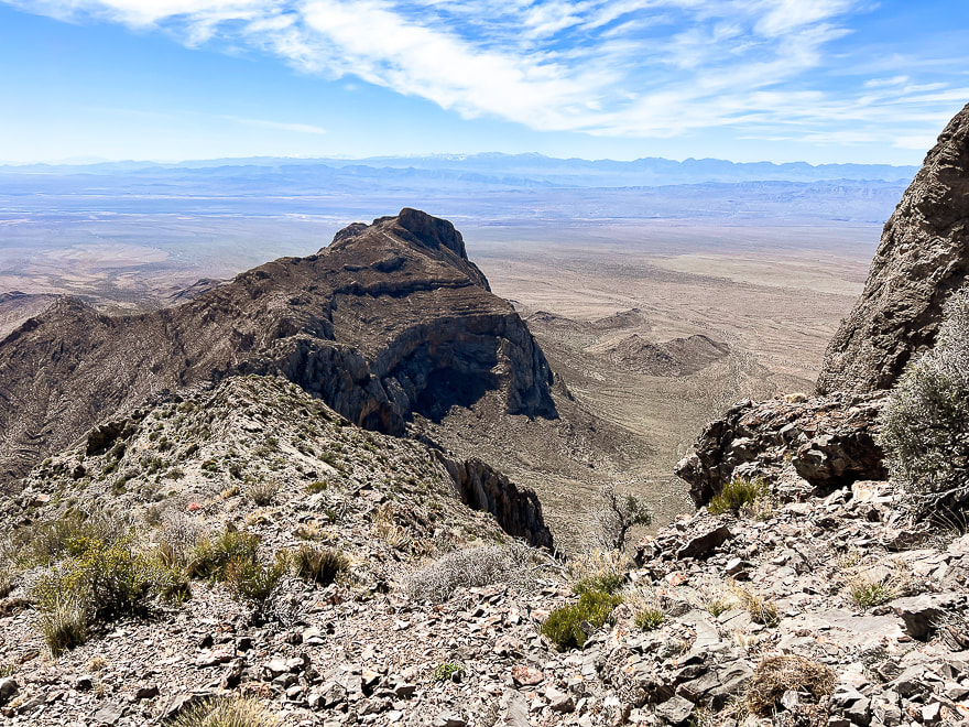 On the way down: view to the west of Nevada's parallel mountain ranges caused by extension in the Great Basin tectonic province. Great Basin rifting (extension) is the second major tectonic episode that shapes this area; it began ~ 30 mya and continues today. Normal faults result from extension - a pulling-apart of Earth's crust. 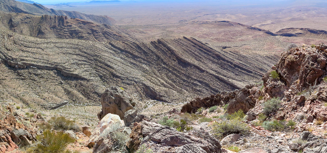 Tilted sedimentary beds. Nevada is interesting because it has undergone major tectonic forces of mountain building, shearing, faulting and rifting. 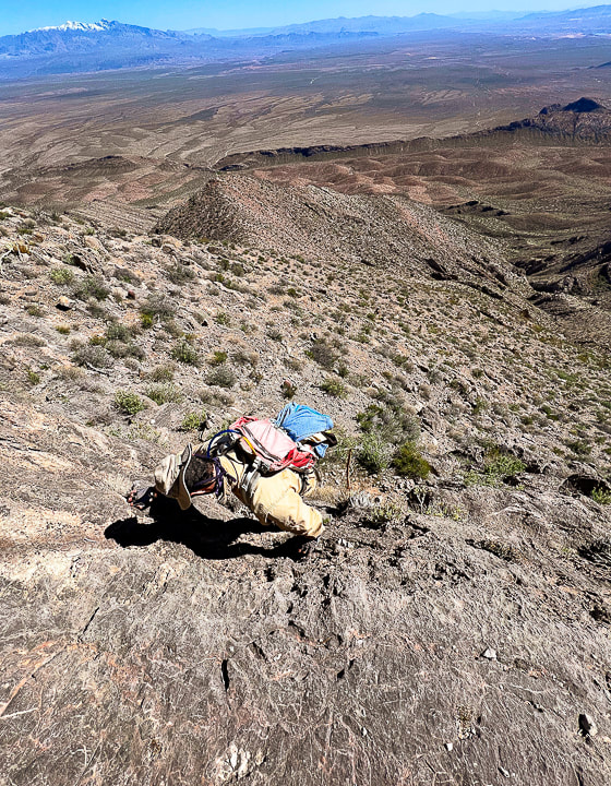 Descending down the ledges section. Virgin Peak on the horizon. 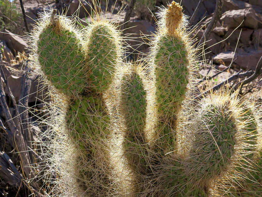 Mojave Prickly Pear 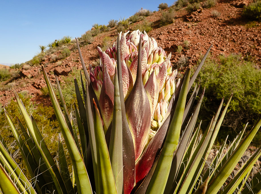 Mojave Yucca Some cool stuff on the trail. 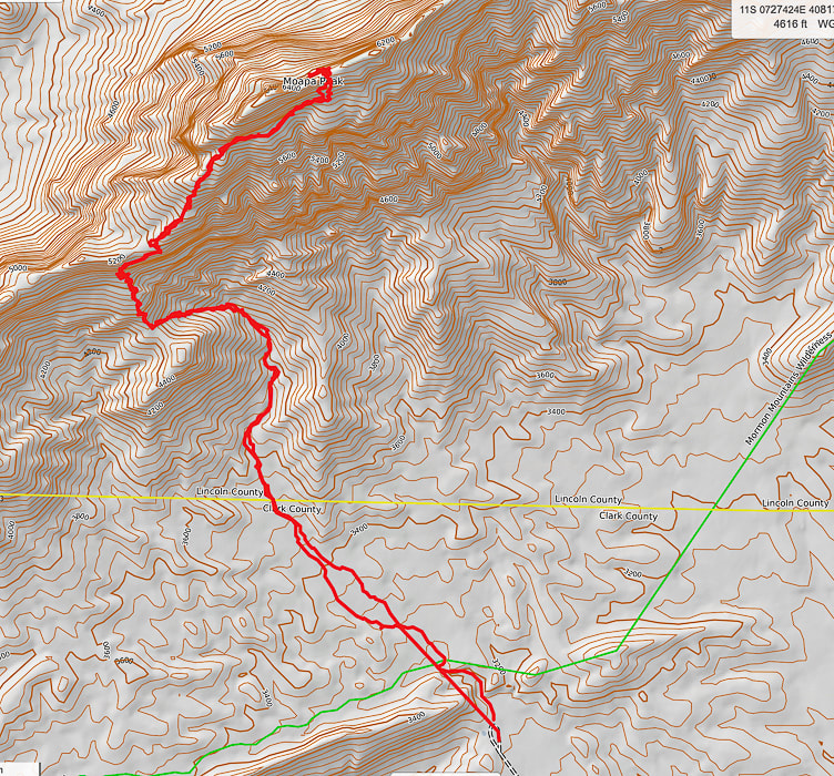 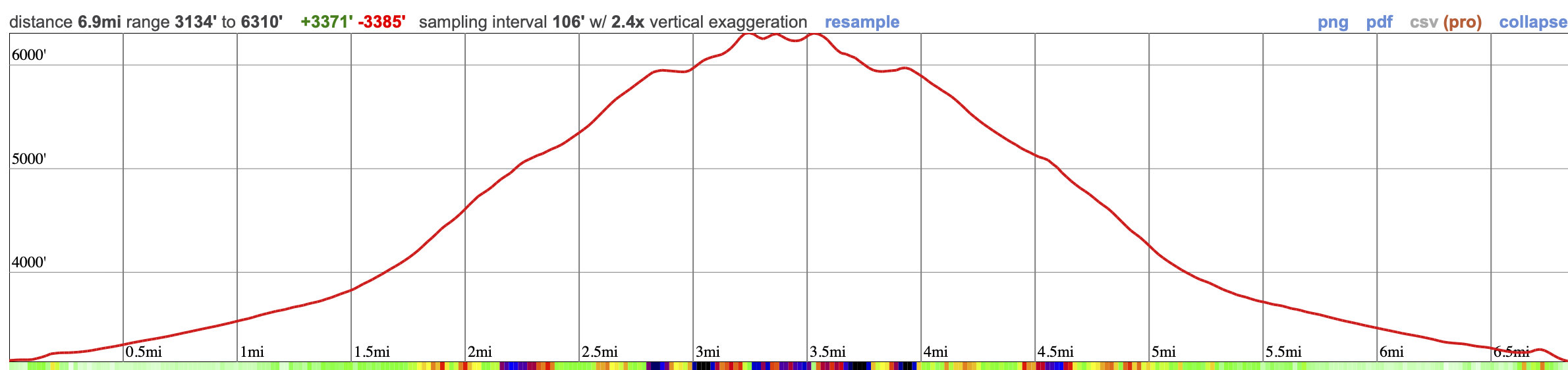 Our GPX tracks and elevation profile on Caltopo maps. 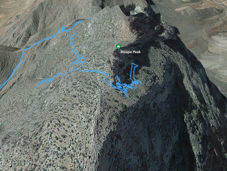 Our GPX tracks walking around Moapa's east ridge and final ascent. The tracks show that initially we went too far along the north face and then we turned around to find the entry to the ridge. References:
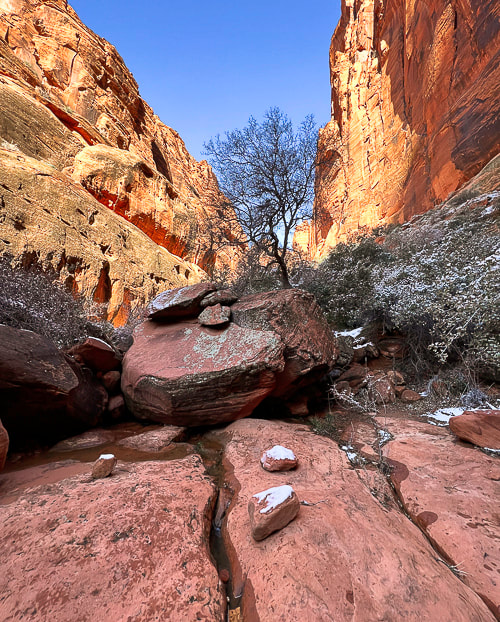
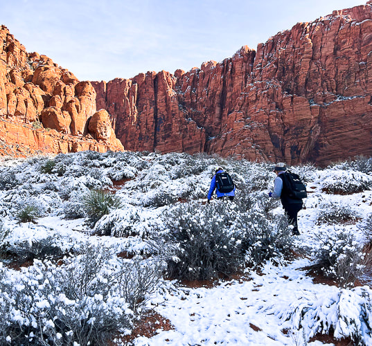
Indian Names in Utah Geography. From Utah Historical Quarterly Volume 1, Number 1-4, 1928 by Utah State History. Carpenter, J.A., 1989. Structure of the southern Mormon Mountains, Clark County, Nevada and regional structural synthesis : fold-thrust and basin-range structure in southern Nevada, southwest Utah, and northwest Arizona. Master's thesis dissertation from Oregon State University. The unusually cold, snowy 2022-23 winter in southwestern Utah provided opportunities for interesting photographs. 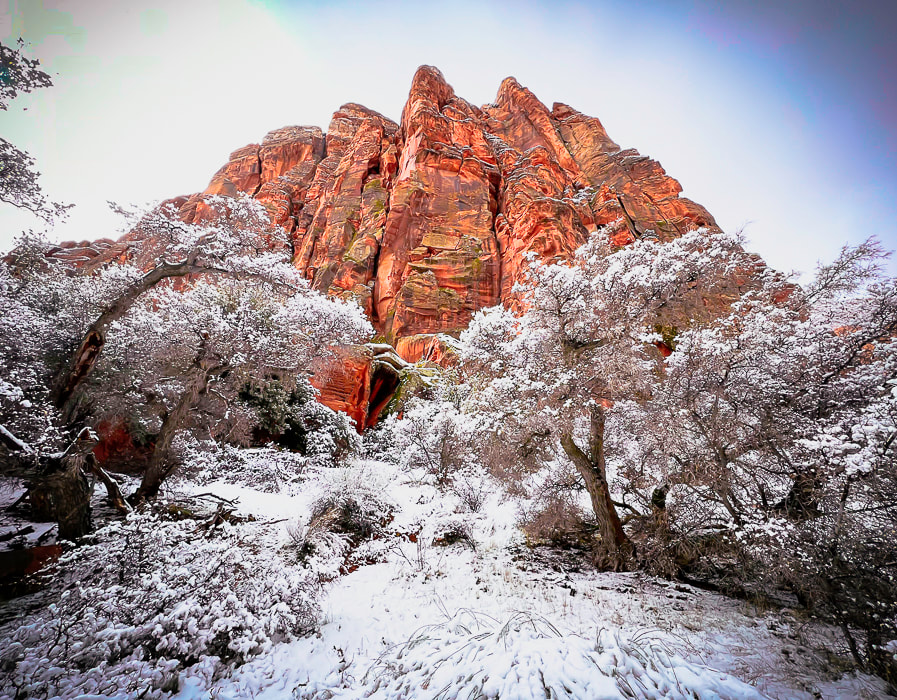 Snow Canyon State Park along the Red Sands Trail. Recently, on March 24, 2023, Utah broke its snowfall record. The Great Salt Lake's water level rose 2 feet and as a result Utah's "severe drought" status has greatly decreased. My favorite ski resort, Alta, recorded its most snowfall ever, with 749 inches of the fluffy stuff. Outside my windows, snow blankets the mountain ranges to the north and west of St George. For a few seconds the other day, I thought I was in Boise, Idaho, my former domicile with its surrounding winter mountains. Red and orange sandstone cliffs quickly confirmed that I was in southern Utah. The southwestern Utah snowpack basin received the largest increase above normal snowpack - 300% - the highest percentage of all 16 Utah snowpack basins. St. George long-time residents tell me that this is a "really unusual winter" (with an emphasis on "unusual"). Every week brings days of rain. Our local reservoir is filled! Temperatures are 10-15 degrees below normal. We are now at the end of March, but living in January temperatures. This has created a unique opportunity for photography. I've been fortunate to see snow against the warm hues of sandstone, mosses rehydrated to bright green pillows dotting north rock faces and hidden canyon grottos, and, by sticking around places long enough, the beginning of waterfalls during a rainstorm or sun snow melt. The "Triple Junction" at St. George, Utah St. George is a unique place because it's situated right at the intersection of three distinct geographical provinces, or regions that have indicative geology, physiography, botany, and climatic attributes. This triple junction is a transition zone between the Great Basin desert to the northwest, the Mojave desert to the southwest, and the Colorado Plateau to the east. St. George's downtown is located in the Mojave desert. A short drive from downtown St George northwest brings you to Snow Canyon State Park, whose geology is that of the Colorado Plateau province, and one of my favorite places to go wandering with my cameras. The 6 Keys to Longevity and Mental Health Hiking and meandering solo with my cameras is a great form of meditation, a time that combines creativity with connection to nature. I get to achieve 3 of the 6 keys to longevity and mental health: exercise, meditation and purpose. If you're interested in finding a good discussion of mental health and longevity, click on the link above to an article on Roxiva's website. Walking in nature is a great form of meditation and research has shown that people who live near green spaces tend to live longer, have lower rates of illness, and better mental health. Getting away from stress is fundamental to health, but we need to have ways to find stillness and silence ourselves, because it won't find us! One of my best days this winter included a hike to see the rare waterfalls in Hell Hole, a deep canyon on the boundary of Red Cliffs National Conservation Area (BLM) near Kayenta, a development northwest of St. George, on a very rainy day. I got to witness the spectacular sight of towering waterfalls spilling down sandstone cliffs, and the downstream wash, churning with salmon-colored water. It was a sight I will never forget, and as I stood there alone, it started pouring. Deep in the canyon, close to the orange walls and cascading water, I watched as more waterfalls developed and spilled in ever increasing amounts, elevating the roar of the falls and the creek. It was a gift to see nature change so quickly and beautifully in solitude. It's time to move on to warmer and sunnier days. At least one bonus besides replenishing our reservoirs: the wildflower show should be spectacular! When I'm out making images, I remember a few of my favorite quotes: "As long as you are making images, you are living the dream." - Michael Kadillak, photographer and friend who taught me black and white "Zone System" film processing. "Nature, time, and patience are the three best physicians." - Ann Zwinger - The Art of Wandering in The Nearsighted Naturalist Keep on Exploring! 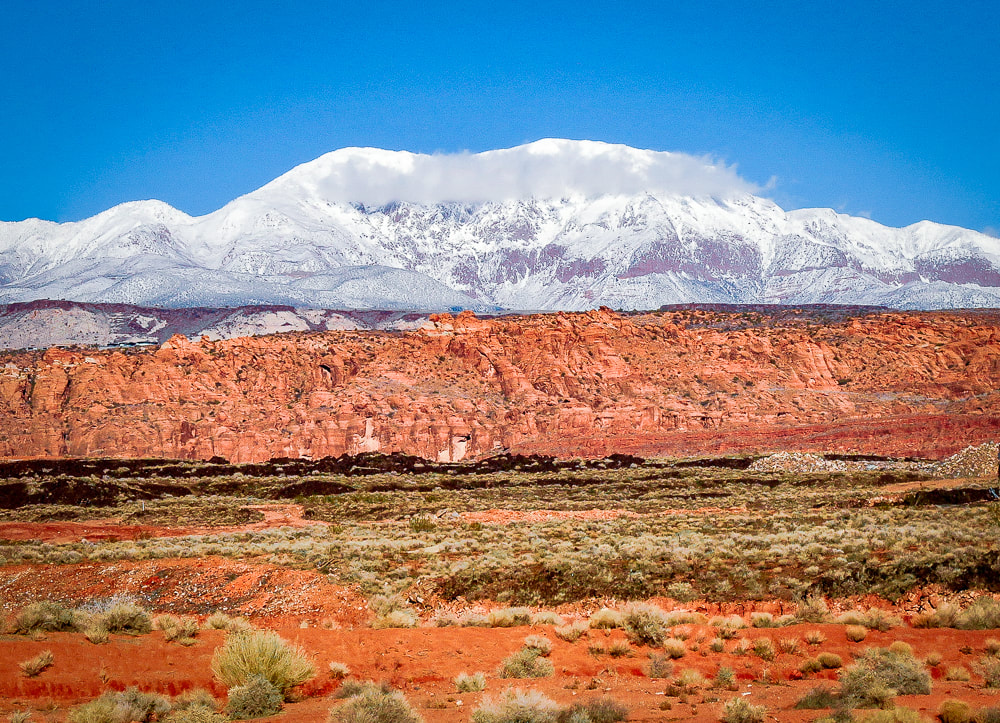 Pine Valley Mountains - the largest laccolith in the U.S. - rising above Snow Canyon State Park near St. George, Utah. A laccolith can be thought of a volcano that never erupted because molten magma was injected between layers of sedimentary rock. The pressure of the magma pushed the layers into a dome. The layers overlying the magma have since eroded away, exposing the laccolith. (this photo was taken last winter). 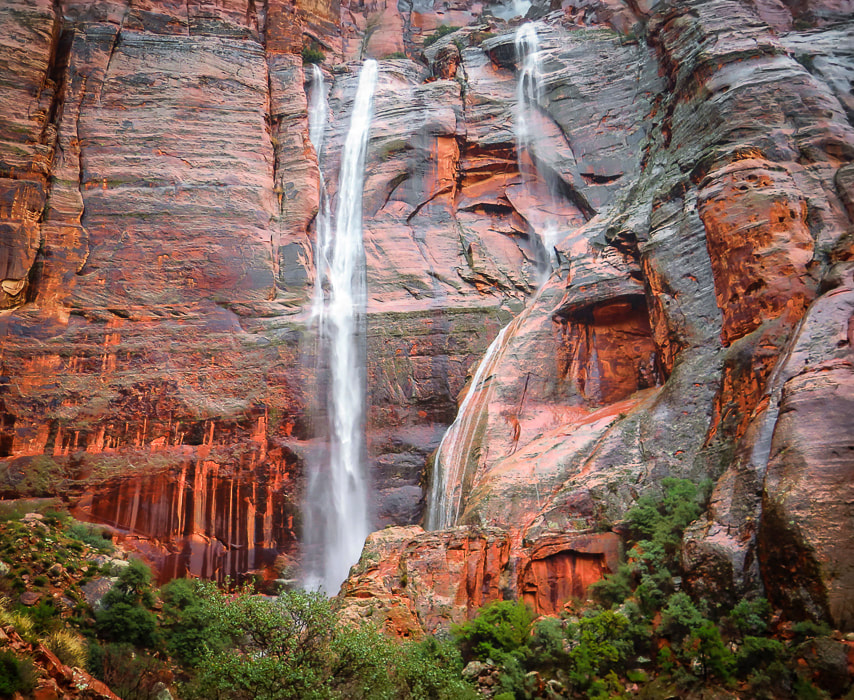 Hell Hole at the head of Kayenta Wash. The waterfall on the right began while I was there in a rain storm. 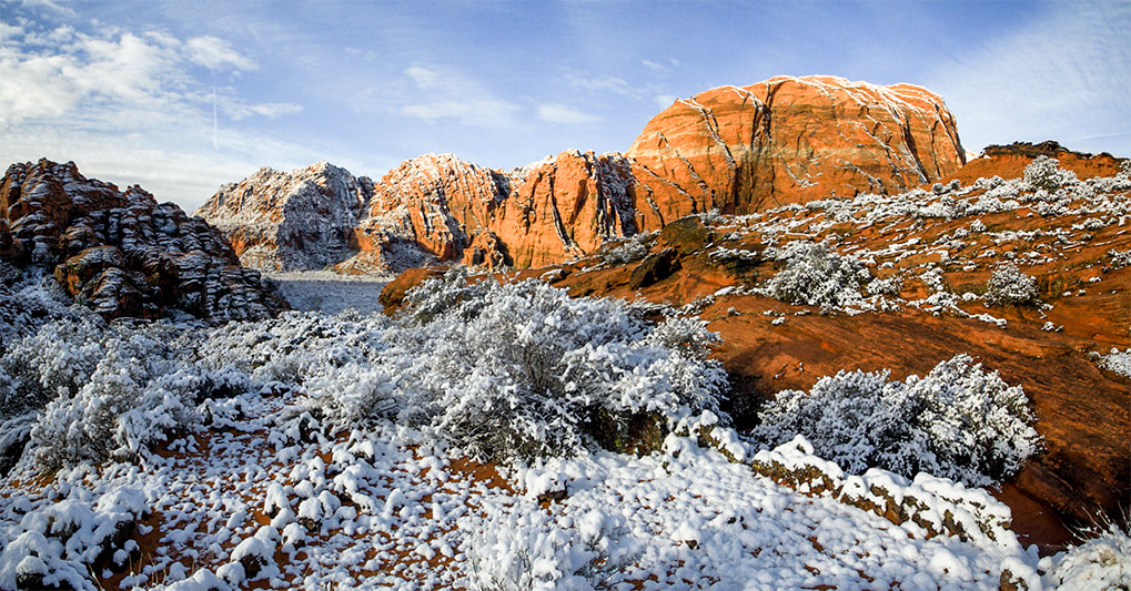 Snow Canyon State Park 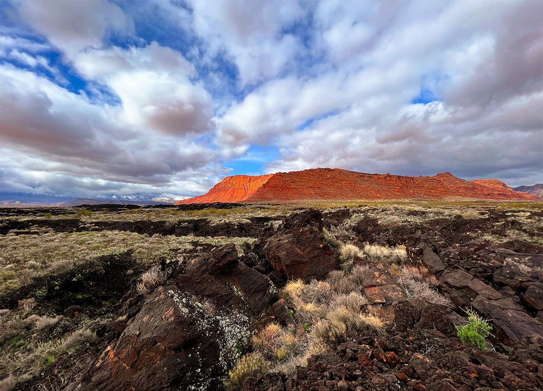 Red Cliffs National Conservation Area Looking over basalt flows south of Snow Canyon State Park. 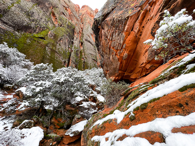 One of the smaller, scrub oak-filled side canyons in Snow Canyon State Park. 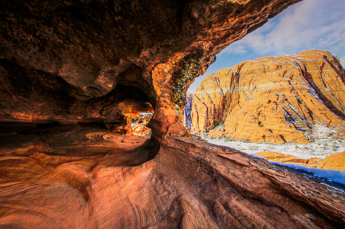 Along the Hidden Pinyon Trail in Snow Canyon State Park. 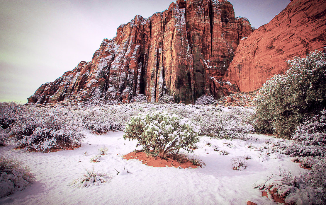 One of my favorite chollas on the Red Sands Trail in Snow Canyon State Park. 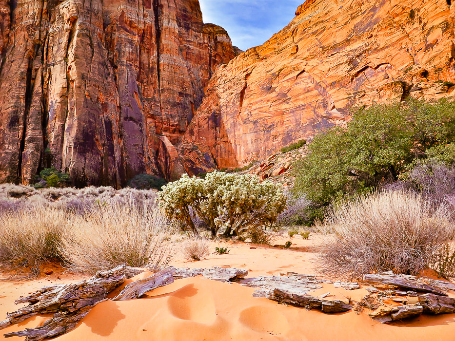 The same cholla as above in late spring. 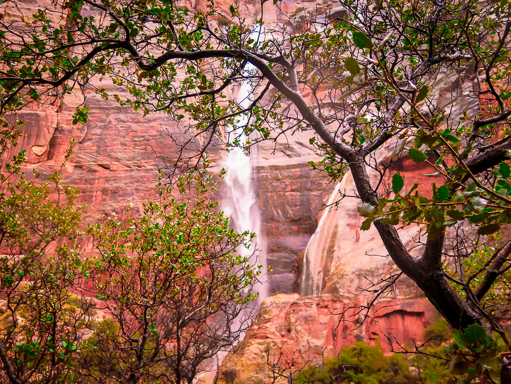 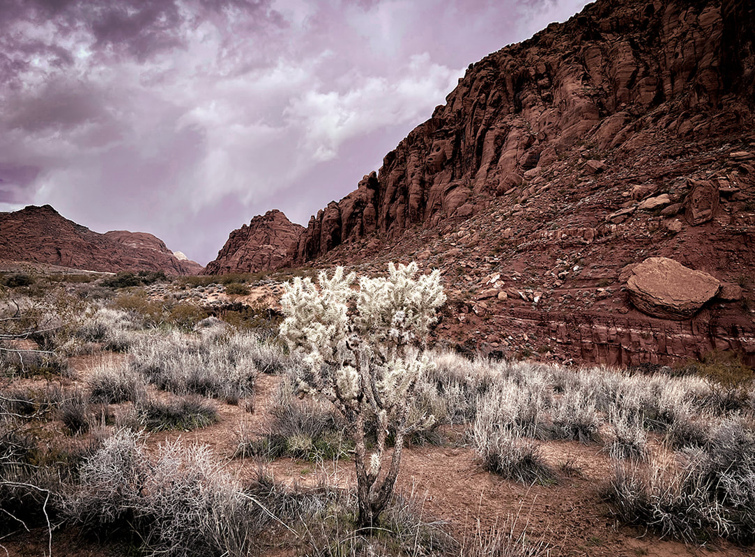 Approaching storm near Johnson Canyon in Snow Canyon State Park. 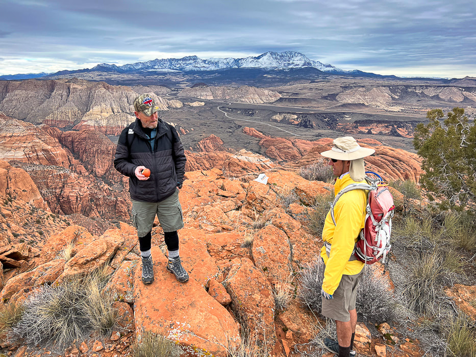 Early season hike up Red Mountain with Dan and Fred to an overlook of Snow Canyon SP and Pine Valley Mountains on the horizon. 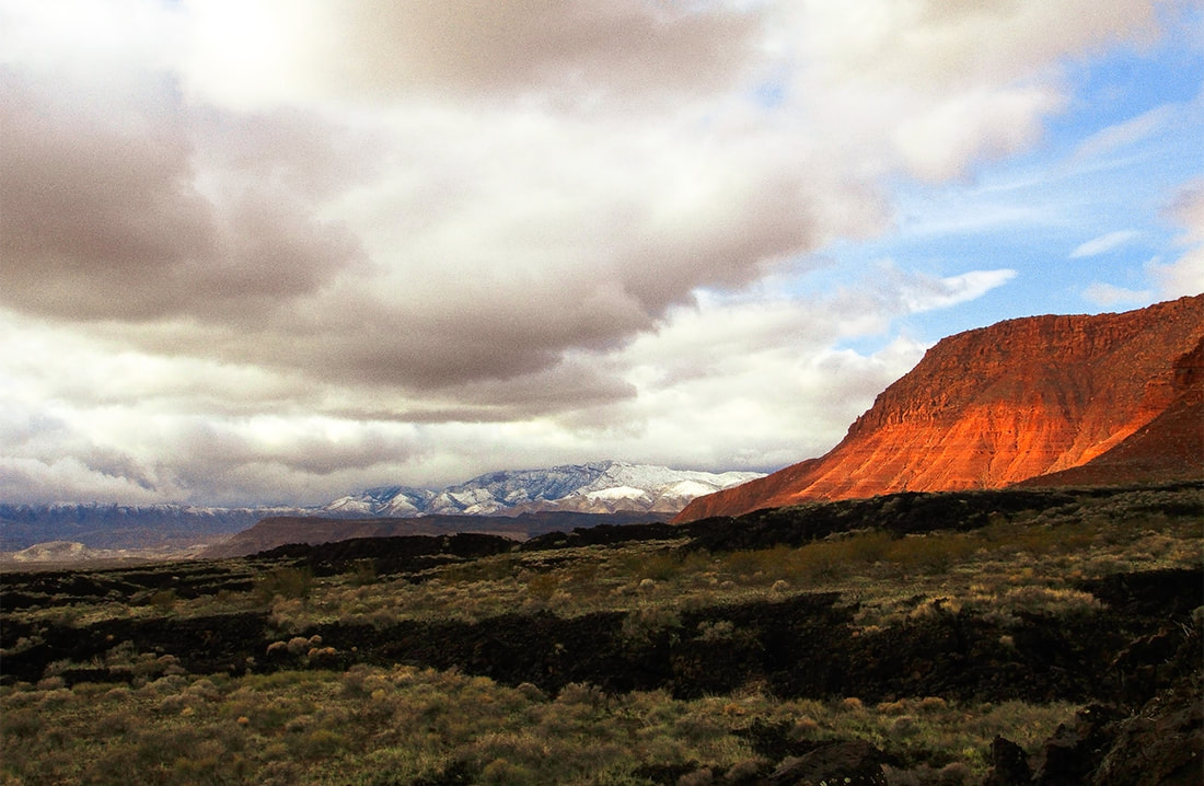 Three types of rock: basalt flow, Kayenta sandstone, and the sandstone and limestone of the snow-covered Beaver Dam Mountains. 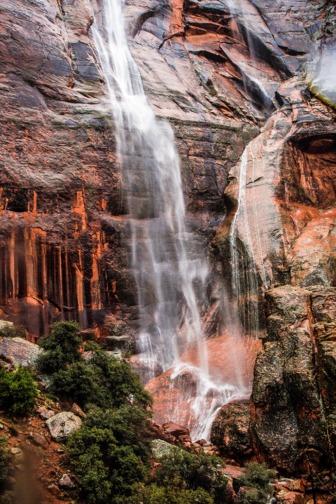 Hell Hole - these waterfalls appear only with a lot of rain or snow on top of the walls that melts. Much more rain this season afforded more opportunities than usual to see this beautiful sight. 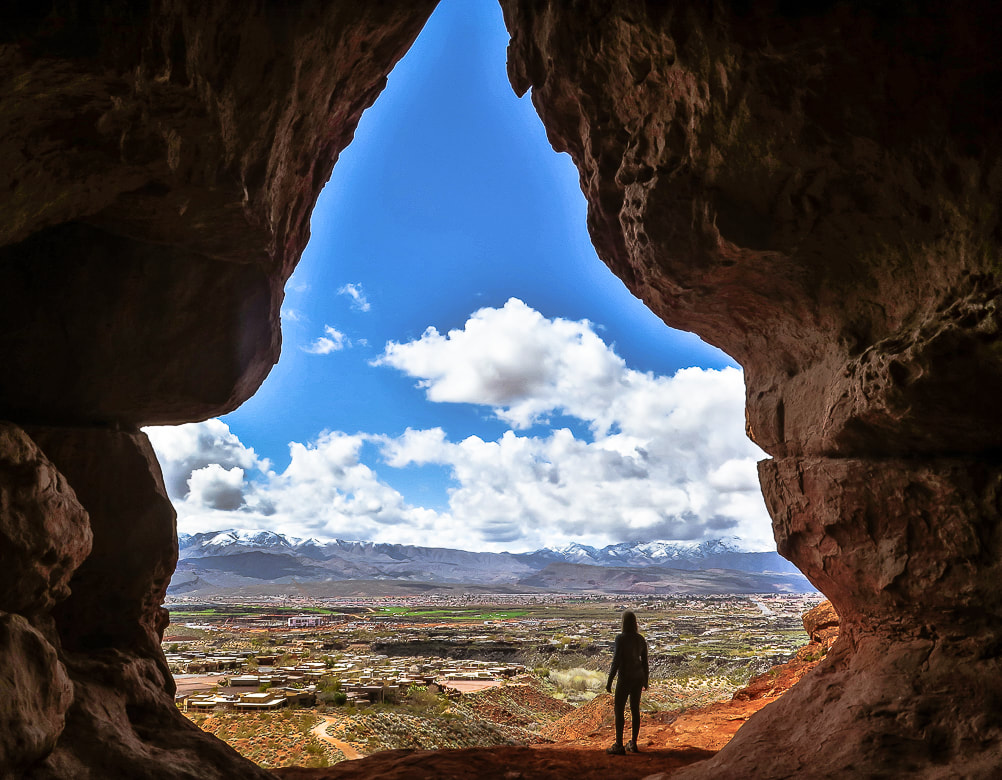 Scouts Cave overlooking St. George, Utah and the Beaver Dam Mountains. 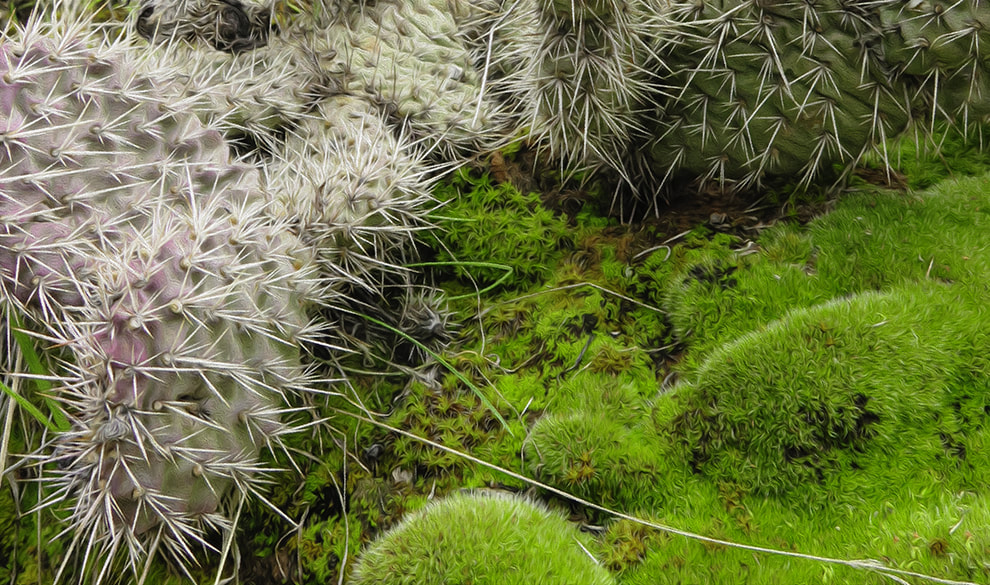 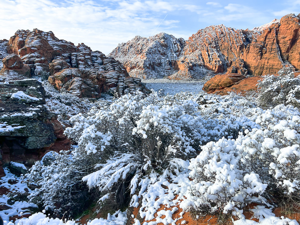 Snow Canyon State Park The oldest sedimentary rocks of Snow Canyon SP are the stream deposits of the Kayenta Formation (190 million years ago). The famous Navajo Sandstone layer was deposited over the Kayenta (183 million years ago) and are the most impressive orange, red and white cliffs as you ascend in the park. The Navajo sandstone is also the prominent layer seen in Zion National Park. 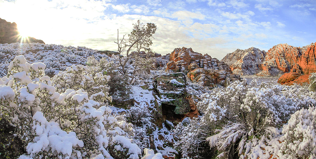 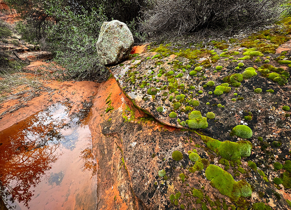 Rains left pools and bright green hydrated moss mats. 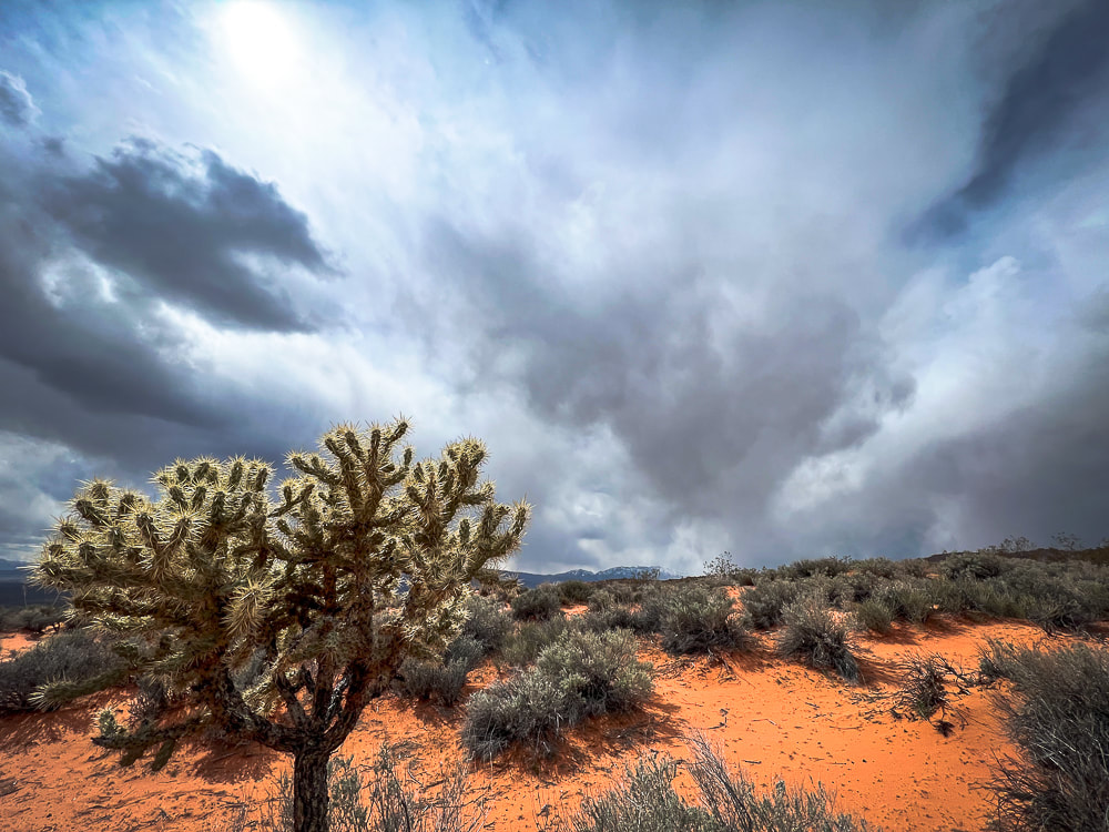 Another storm coming! Gila Trail, Snow Canyon. 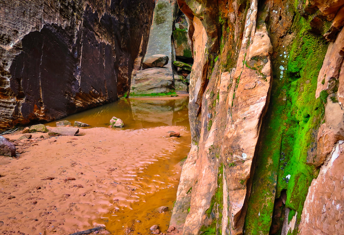 A large pool of water and bright green moss at this grotto hidden behind immense sandstone walls. 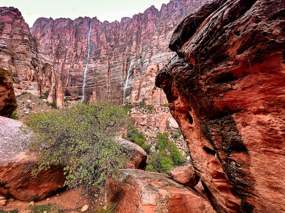 Walking into Hell Hole. 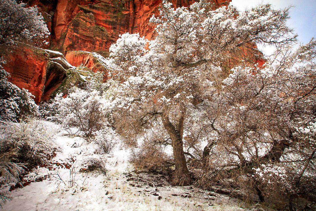 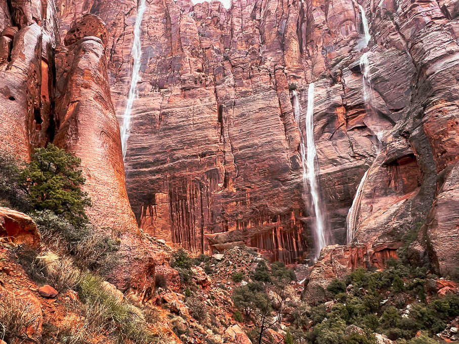 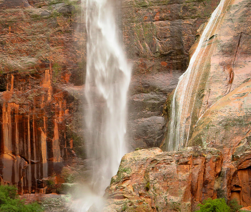 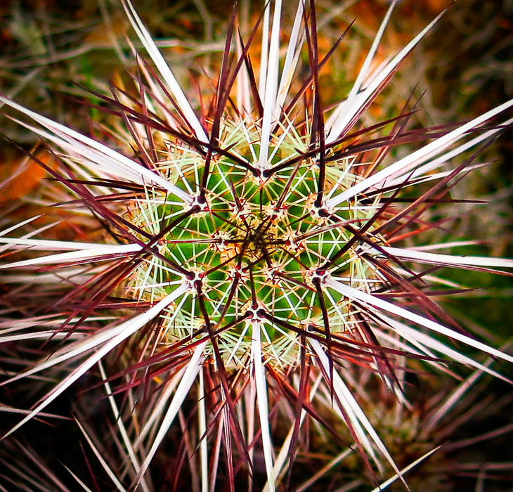 Engelmann's hedgehog cactus 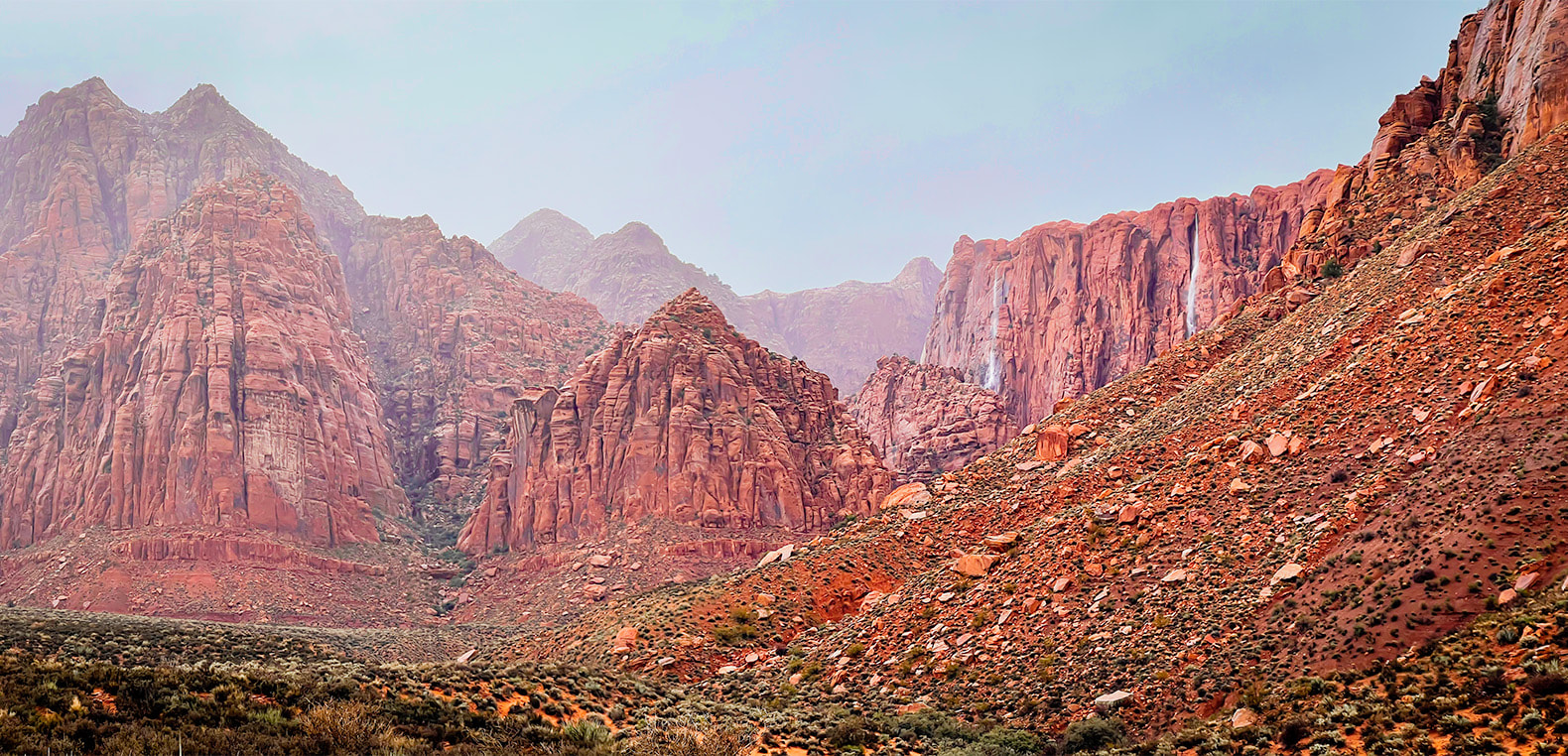 Walking out of Hell Hole: three waterfalls. 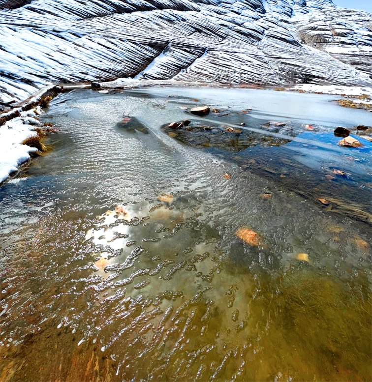 Whiterocks amphitheater, Snow Canyon SP 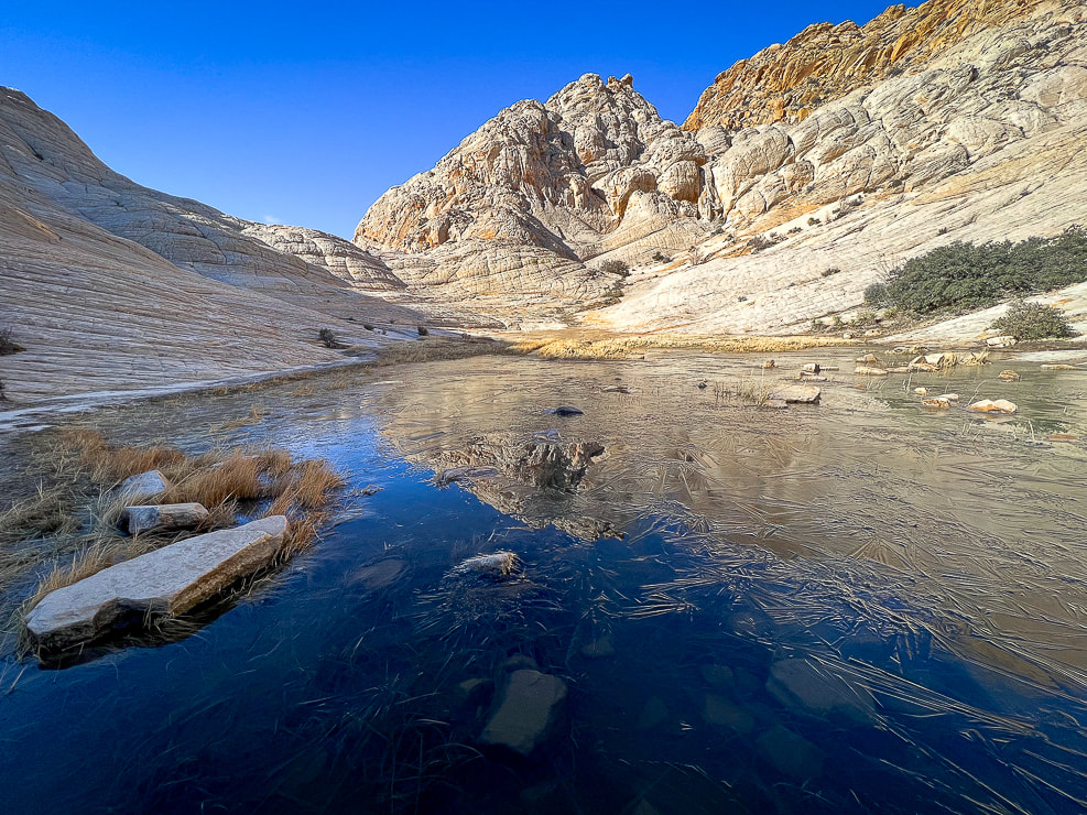 Whiterocks amphitheater 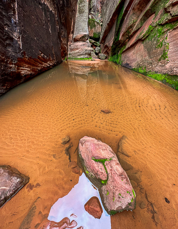 Snow Canyon State Park This hidden pool extended between two towering walls with dripping water It sounded so peaceful! 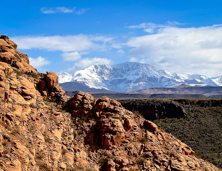 Three rock types: Navajo Sandstone, basalt flow, and snow-covered Pine Valley Mountain's monzonite porphyry (granite with large crystals) that formed as a result of slow cooling underground. 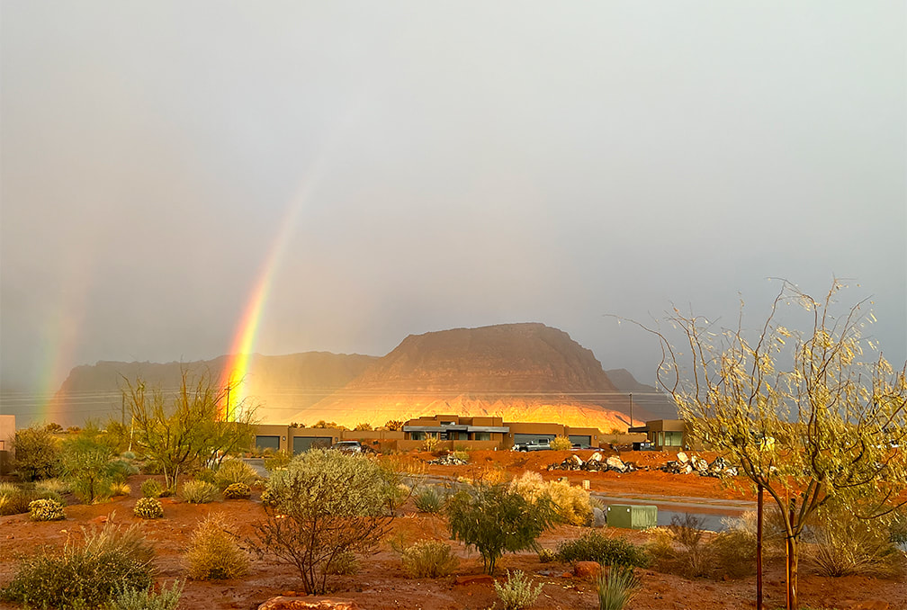 Red Mountain from our front yard. 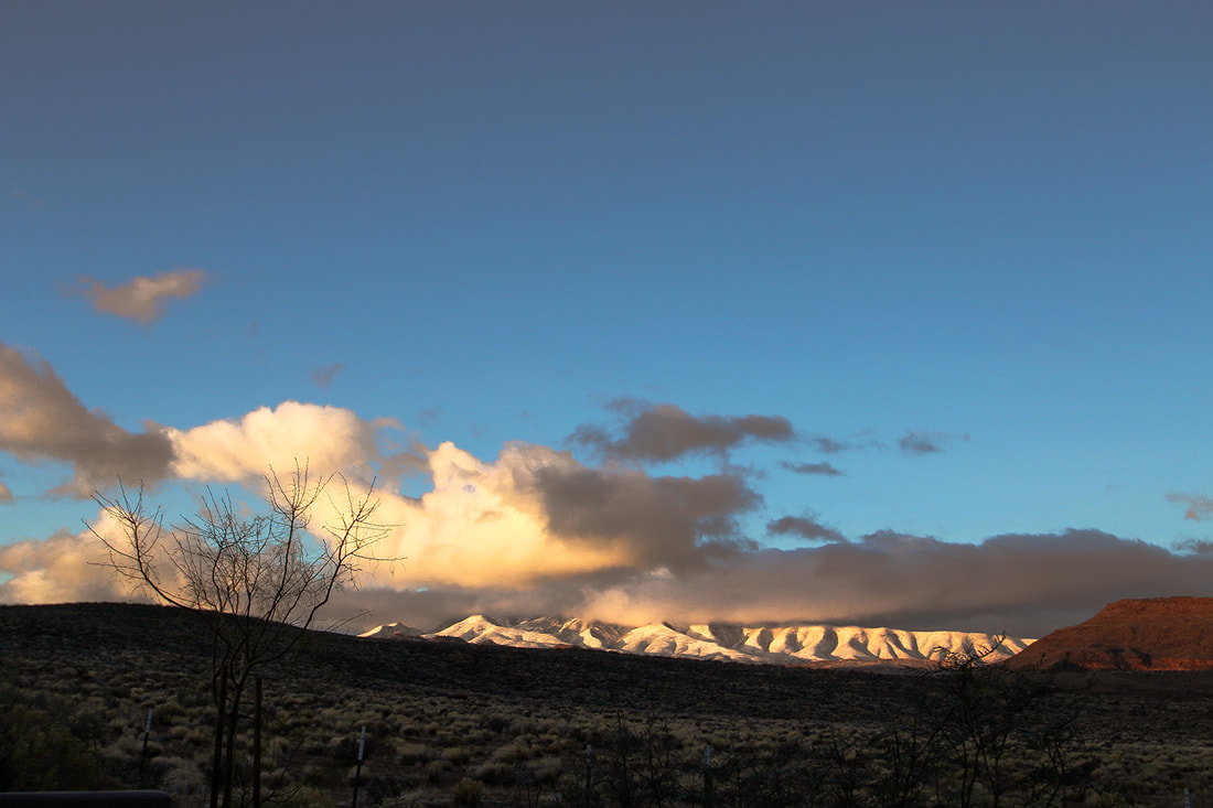 Sunrise on Beaver Dam Mountains - from our back yard. References
The Triple Junction of Southern Utah. a You Tube video from BackRoadsWest1. One of the best petroglyph sites in the Colorado Desert, Corn Springs has rock art dating back 10,000 years and was a major water stop by traveling Chemehuevi, Cahuilla, and Yuma Native Americans. Vision quests may have occurred here. Related: 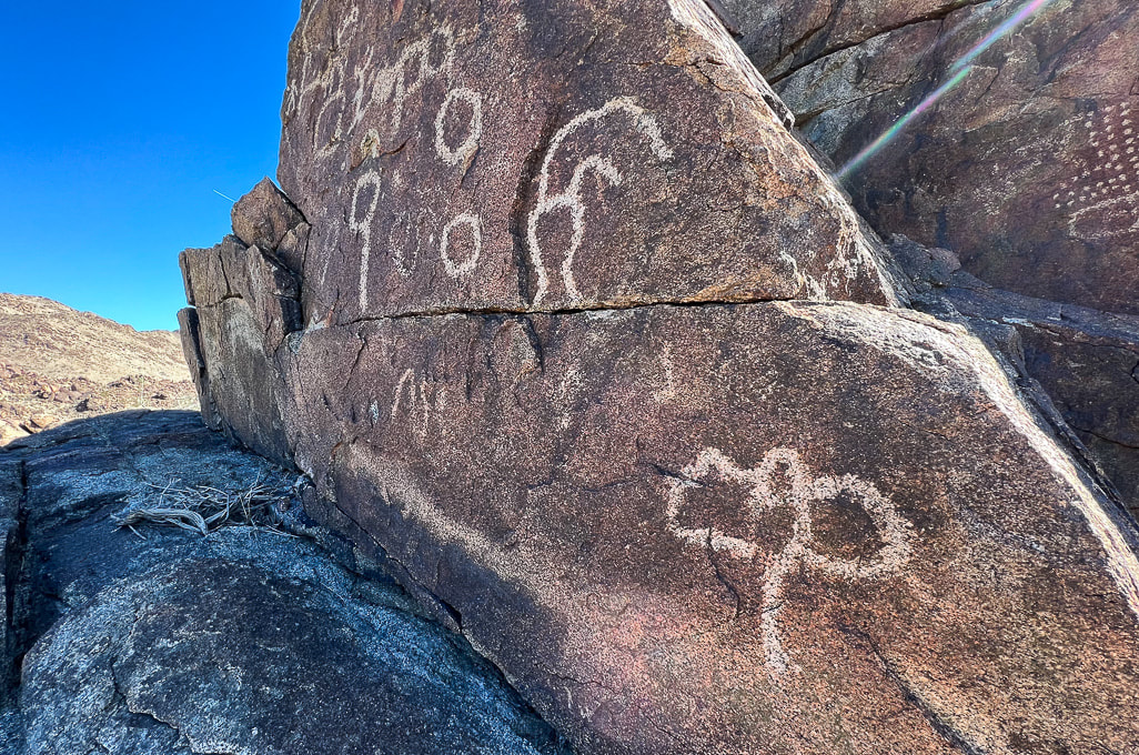 Trip Stats Location: Colorado Desert section of the Sonoran Desert - Southern California, Chuckwalla Mountains, Corn Springs Wash. What: Bureau of Land Management Corn Springs Campground, at a California palm oasis that was a major occupation site for prehistoric Native Americans. Petroglyphs are on east and west side of the wash. BLM information and interpretive trail guide. Driving: Graded gravel road 10 miles south of CA interstate 10, near Desert Center, east of Joshua Tree NP south entrance (link for driving directions in BLM site above). Coordinates: 33.626046, -115.324935. Geology: The Corn Springs Wash is a strike/slip (transverse) fault, as are many other faults in southern California, including the nearby San Andreas Fault. The petroglyphs are carved into granitic rocks that include dikes of felsic (light-colored rocks), and mafic (dark-colored rocks) that cross-cut them (see photos below). Corn Springs Site scientific inventory: Clewlow, C. Rock Art at CA-RIV-981: Chronology, Imagery, and Function Great Comments on this Post If it wasn't for a petroglyph enthusiast who commented on my post In Search of the Rattlesnake Petroglyph, I might not have known about the fantastic Corn Springs rock art. He gave me good tips about where to find extraordinary petroglyphs and suggested I read the book, A Field Guide to Rock Art Symbols of the Greater Southwest, by Alex Patterson. I'm sure glad he contacted me; it's great to find someone who shares the same passion, curiosity, and appreciation of petroglyphs and the Native Americans' way of life. James Ponder also contacted me with links to two awesome feature articles he wrote for Inland Empire Magazine: -Aztlán in Our Backyard: The Southern California Origins of a Vanished Empire. (May 2023, p. 54). -Touring Coyote Hole: A look at Efforts to Preserve Ancestral Lands and Sacred Spaces in the California Desert. (January 2023, p. 62). He loves the Corn Springs site and writes about the work of the Native American Land Conservancy. Check out his Aztlán article - he reveals a concept that I hadn't heard of before - that the Aztec culture birthplace was near Desert Center (30 mins drive from Corn Springs site) and Blythe in California. He introduces Alfredo Acosta Figueroa's book, Ancient Footprints of the Colorado River: La Cuna de Aztlán, one that I'm planning to read. (His comments at end of this post). Fred and I were headed down to our annual Palm Springs, California visit anyway, so we added it to our agenda. Corn Springs is a 1.5-hour drive from Palm Springs, east on I-10, past the entrance to Joshua Tree National Park, near the Salton Sea, and well worth the trip if you are interested in American southwest history. Corn Springs was a reliable water source for Chemehuevi, Cahuilla, and Yuma Native Americans traveling between the Colorado River to the east and coastal areas and the Coachella Valley. Petroglyphs date as far back as 10,000 years, according to the BLM. This ancient trail has been traced to the Mule Mountains near Blythe, California. Steamboat Influences A noteworthy petroglyph appears to be a river paddle-wheel steamboat. My post reader suggested I try to find this petroglyph and sent me an interesting report, "Steamboats on the Colorado River, 1852 - 1916" by Richard E. Lingenfelter. Uncle Sam, a small steam tug was the first of many vessels to run the Colorado River, transporting miners, soldiers, ranchers, and merchants and their tools, supplies and millions of dollars of gold and silver extracted from mines. Native Americans, such as the Yuma and Mojave, depended on Colorado River resources witnessed the invasion of the Gold Rush of 1849. This steam boat mode of transportation caused the change and suppression of these ancient river peoples. Interestingly, the Yumas operated their own ferry at Yuma Crossing. Extensive steam boat travel on the Colorado and its tributaries ceased when the Southern Pacific Railroad completed tracks to Yuma in 1877, providing faster and cheaper shipping of goods. But river commerce still held on after that with the introduction of gas-powered boats and gold dredges. All river trade was finally ended with the damming of the Colorado River. Petroglyph of what may be a Colorado River paddle-wheel steamboat (left) and a drawing of the Explorer on the Colorado River in 1858 (right), from Steamboats of the Colorado River: 1852 - 1916. Vision Quests and Ringing Rocks In my quest to learn more about the Corn Springs petroglyphs, one article or research paper led to another and then another and soon I found myself reading about shamans, hallucinogens, and trance states. Sort of like falling down the Google Scholar rabbit hole. I hadn't intended on writing about suppositions that these petroglyphs are a result of vision quests and that one rock might have been used for acoustics, but it's too interesting and fun to pass up. Unlike Utah rock art with its many representational human- and animal-like forms, Corn Springs petroglyphs are geometric and abstract shapes and patterns that some rock art researchers believe are illustrations of trance-state mental imagery. The realm of neuroscience more formally defines these patterns as "entoptic" (within vision) and phosphenes, which some say is the universal language of the human brain throughout all cultures, since our nervous system has remained the same through human history. Entoptic images are visual effects that originate within the visual processing system anywhere between the eyes and the brain cortex. Certain symbols are common throughout locations all over the world. There seem to be quite a few entoptic images etched in these boulders. Rituals using dance, music, chanting and psychoactive substances to induce trance states where ancestors were visited and wisdom was enhanced may have occurred at Corn Springs. Visions and images were then recorded in the rock etchings. Grid, parallel lines, dots, zigzag lines, nested curves, and filigrees (thin meandering lines) are the six common forms seen in Upper Paleolithic art as a result of drug-induced visions, according to some researchers. Some say that a shaman would act as an intermediary between mortals and the supernatural by gathering power through the spiritual world. I attempted to correlate some of the petroglyphs in my images below to information I found in my search. But we can't assume that we know for sure what the intent was of the people who engraved these petroglyphs. We can only speculate. Some of these symbols may have been made to create communication for a good food harvest or for fertility. These ancient symbols were here long before the advent of formal language (for an interesting book on human relationship to the natural world and language, check out The Spell of the Sensuous: Perception and Language in a More-than-Human World by David Abram).
Common entoptic forms as a result of drug-induced visions as recognized by contemporary researchers. from Altered States: The Origin of Art in Entoptic Phenomena by Eric Pettifor (who adapted from Lewis-Williams and Dowson). 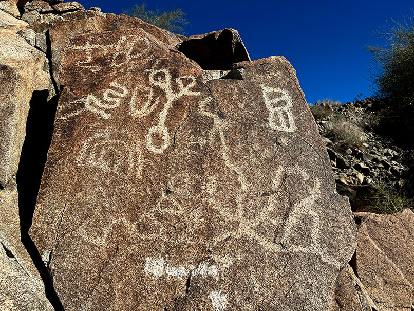 The curvy petroglyph upper left resembles a filigree form (examples on third row of first column in chart above) as does the large petroglyph bottom right that seems to radiate from a central point. A large flat rock, supported by small rocks, protruding from a small recess in the massive granitic outcrop on the west side of Corn Springs Wash amidst the biggest concentration of rock art is said to be a "ringing rock." A horizontal line of pecked marks extends across the top of this rock. "Ringing rocks," when struck with a small hammer-stone produce metallic, ringing, or gong-like sounds. Not much research has been done to understand exactly why some rocks are "ringers." One explanation is that clay minerals on the surface of the rock weather and cause a molecular-level change in the crust, which then increases new internal stresses. I need to go back to Corn Springs to see if that rock will ring, and while I'm there, climb the high summits in the Chuckwallas. 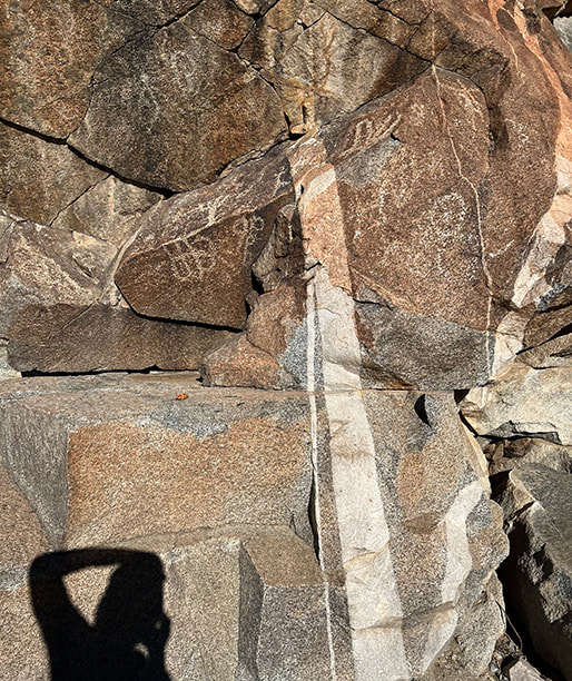 The supposed "ringing rock" is the flat, slanted gray rock in the right of this photo. 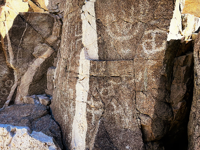 Probably a pegmatite dike cutting through granite. One source said that some petroglyphs seem to relate to these dikes. Fault (seismic) activity influences the water table and hence the availability of water for California fan palm trees. The infamous San Andreas Fault, a horizontally-moving fault where North American and Pacific tectonic plates meet extends just southwest of the Chuckwalla mountains. This desert has two personalities: peaceful, quiet and sedate, while at the same time unstable, waiting for its earth to move and shake things up. The Chuckwalla Mountains have an interesting gold mining history from the late 1800's, and in a separate hike in adjacent Orocopia Mountains (Spanish translation: "lots of gold"), Fred and I found what looked like an old miner's dwelling at the top of a long wash (see below), now called "Hotel California." Corn Springs was so named because early white visitors found feral corn plants grown by Native Americans, who at times were able to use the springs for growing food during years when water was abundant. The Love of Deserts: Liberation and Peace Nearby Chuckwalla Mountain and Black Butte, accessed by the historic Bradshaw Trail (now the Bradshaw Trail National Backcountry Byway), are two summits we added to our "to do" list. William Bradshaw built this trail in 1862, the first route across Riverside County, California to the Colorado River; it was used to transport miners to Arizona. "The love of mountains is best," a quote included in my Quotes on Nature page, was inscribed in Greek on one of the Swiss Alps summits in 1558. Perhaps I will inscribe "the love of deserts is best." on a lonely and bare desert summit someday. Corn Springs is a place to find solitude, and recharge if you need breathing space and respite from cities, televisions and smart phones. The desert allows you this: calm (usually), liberation, perspective and peace. "In sublimity - the superlative degree of beauty - what land can equal the desert with its wide plains, grim mountains, and its expanding canopy of sky!" - John C. Van Dyke, The Desert  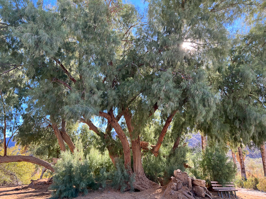 Huge tamarisk tree at Corn Springs. 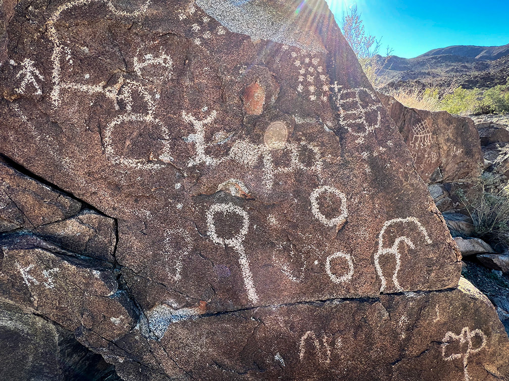 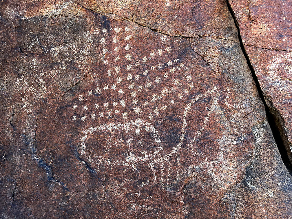 Dot images are one of the six common entoptic forms produced when in a trance or during vision quest. Some researchers claim dots indicate corn kernels, stars or rain. 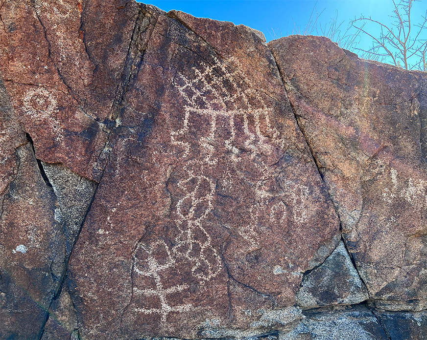 The top figure with horizontal line (sky line) and the six lines descending from (rain) it is thought to be a rain symbol. The slanted lattice is considered to be a basic entoptic (within vision) design.
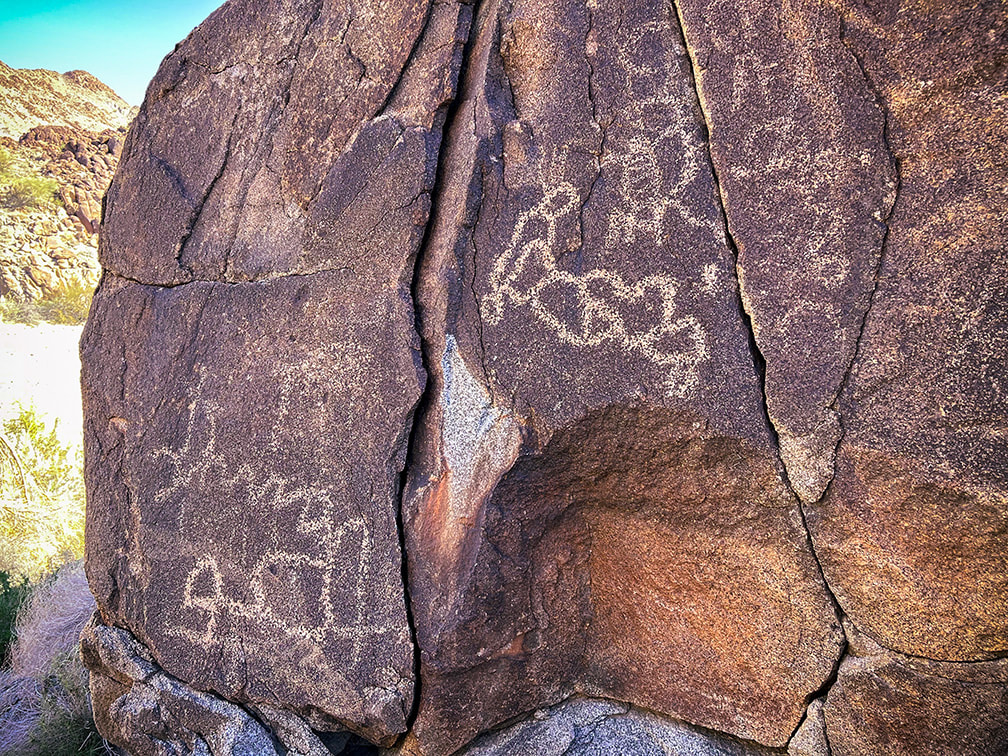 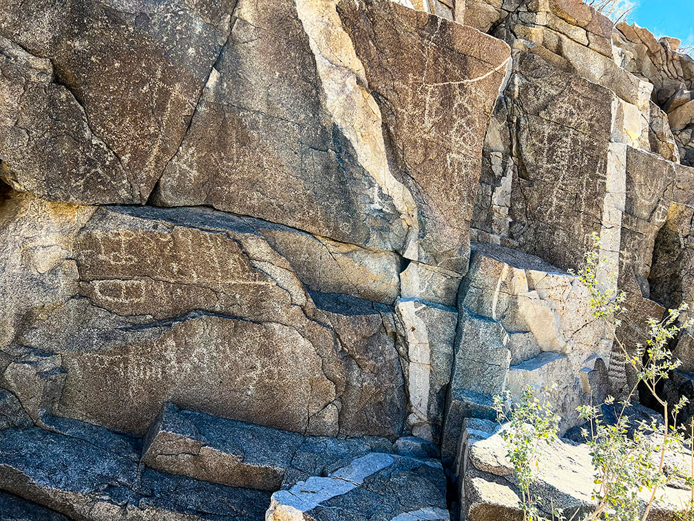 The horizontal line with parallel vertical lines under it (lower left) may represent rain. Beautiful dike cutting through granite. Some cool stuff at the site. Chuckwalla lizards have the ability to inflate their lungs to wedge themselves into rock cracks as a defense mechanism against predators, like the red-tailed hawks and coyotes. Native Americans used sticks made from the ironwood trees for retrieving chuckwallas from the cracks. The stick had a spear and hook, so the chuckwalla would be stabbed to deflate the lungs, and then would be pulled out of the crack using the hook.  Fall colors of an ocotillo (Fouquieria splendens) preparing to go dormant for the winter. Yellow and red leaves are caused by a wet summer followed by a slow autumn drying period. 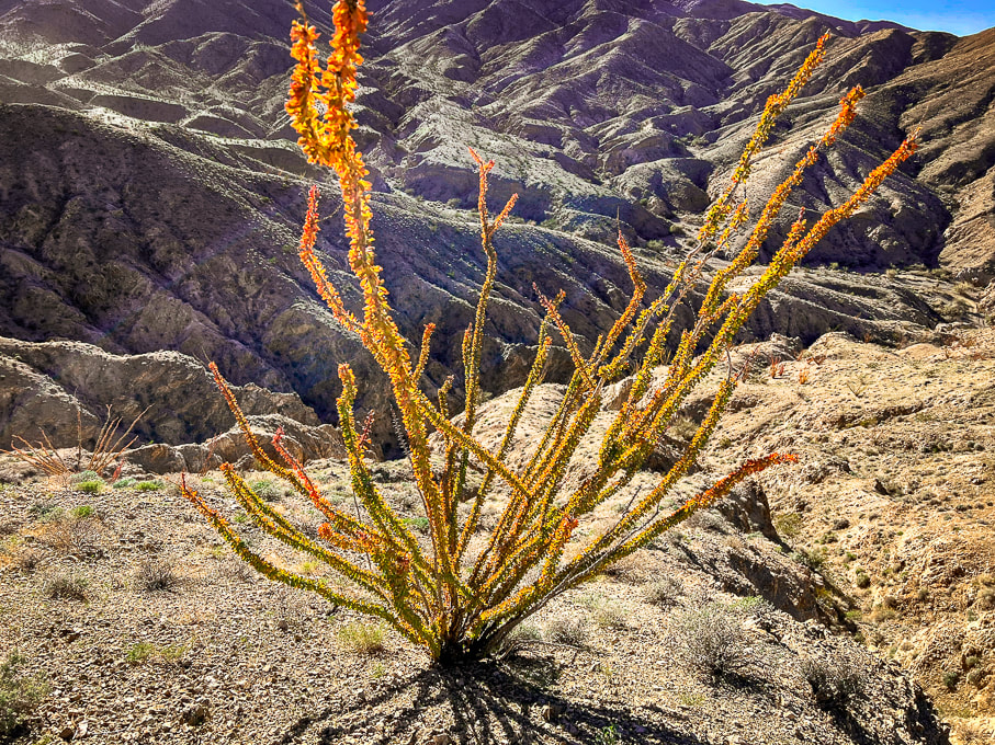 Ocotillo in Orocopia Mountains. The orange and yellow leaves seem to occur when there is more late-season rain than usual. 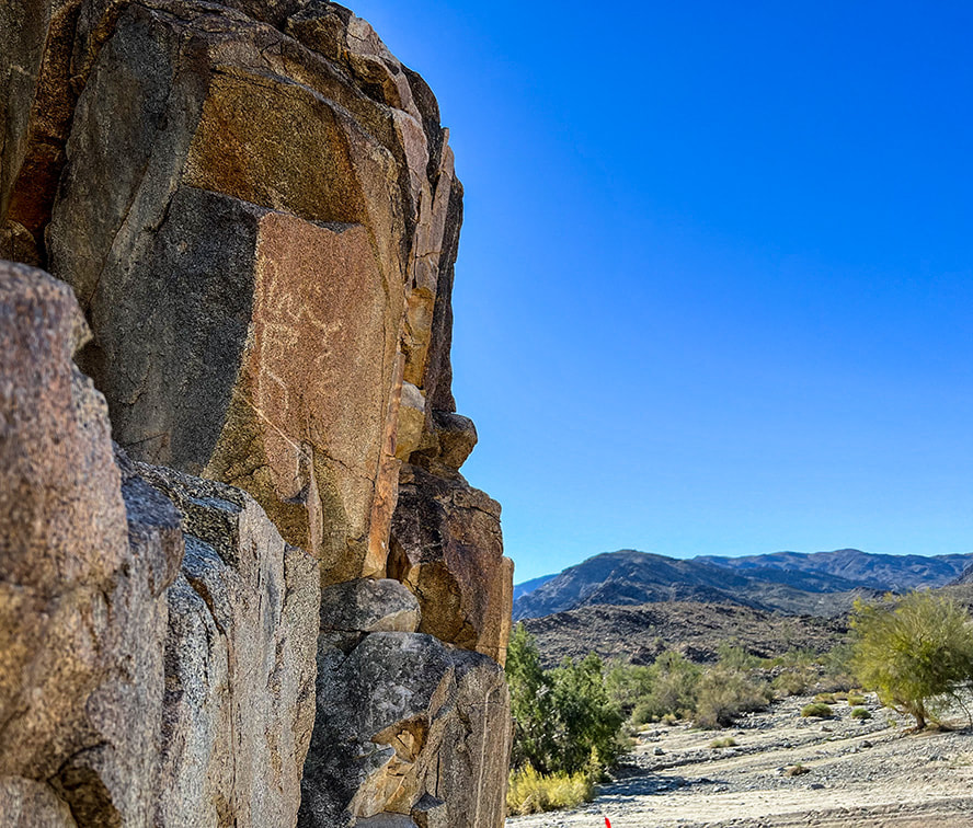 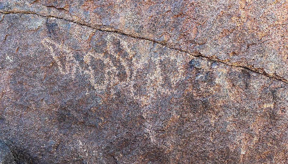 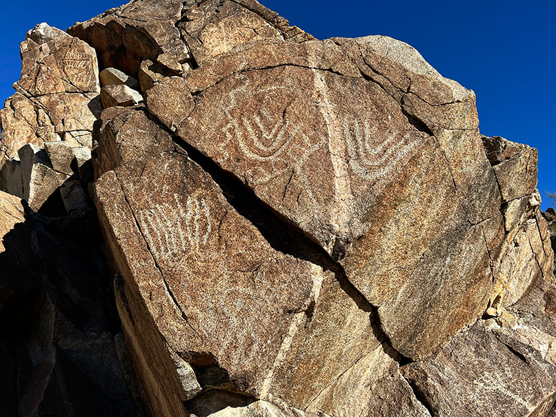 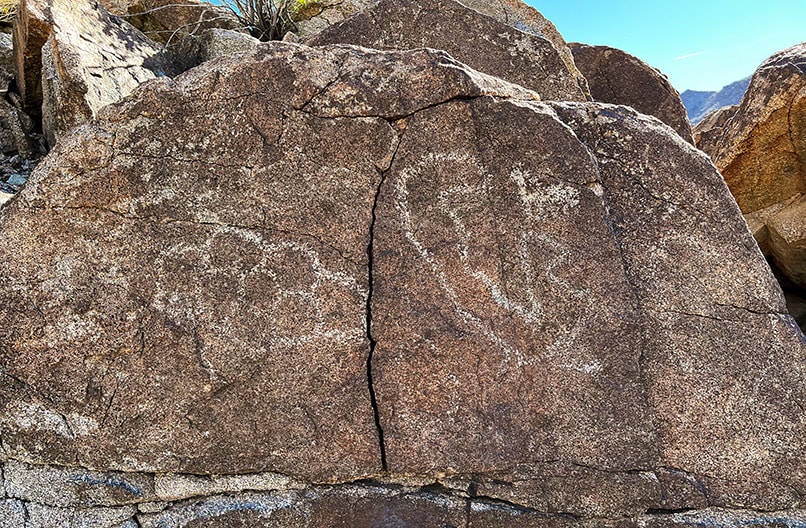 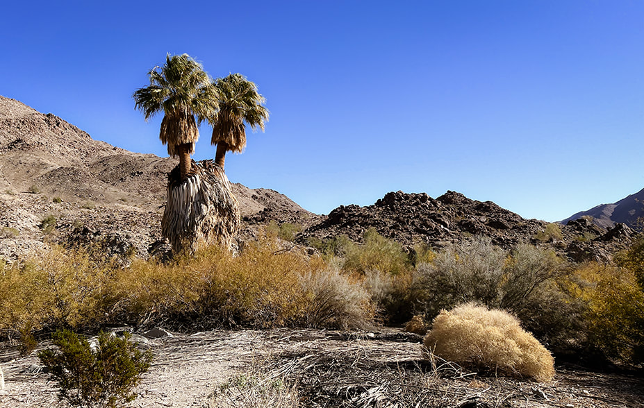 California fan palms (Washingtonia filifera) at Corn Springs.
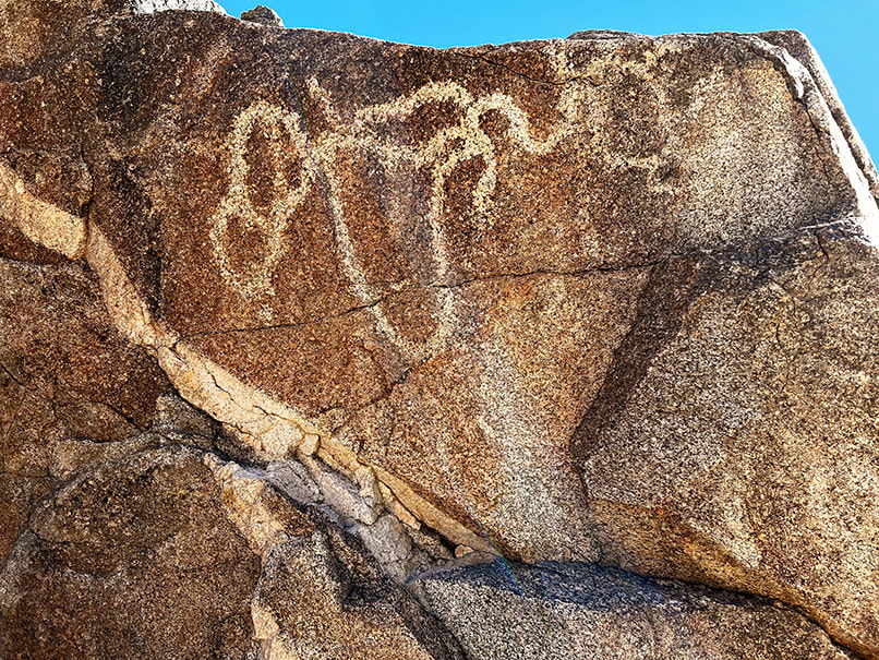 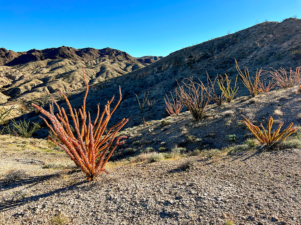 Ocotillos on Orocopia Mountains, a range west of the Chuckwalla Mountains. 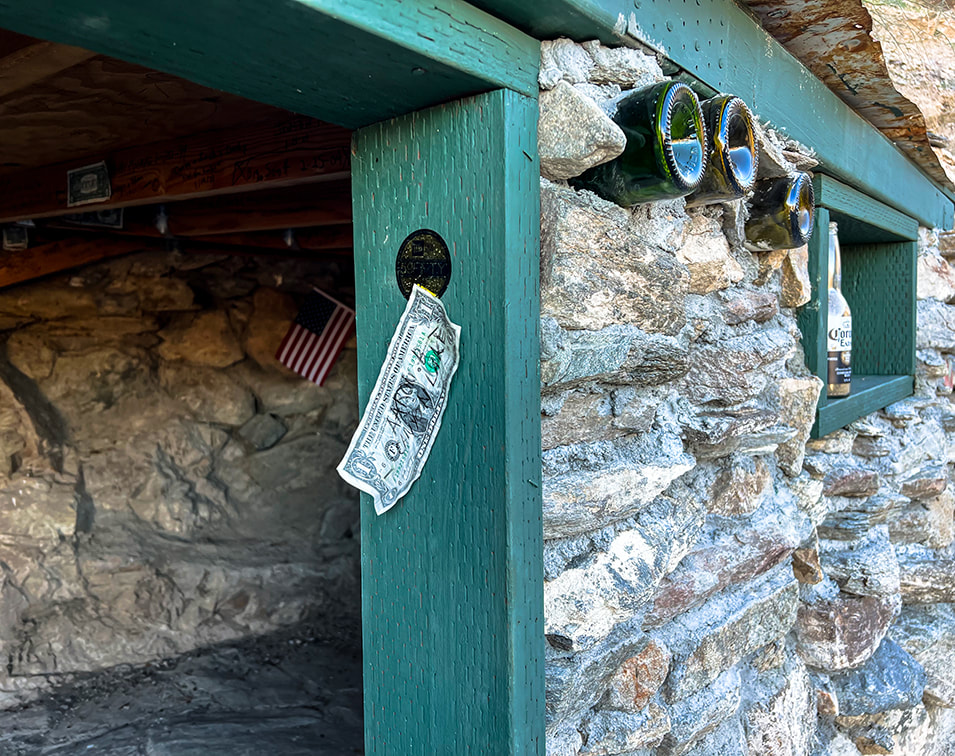 "Hotel California" is inscribed on a plaque nailed to this rock house. 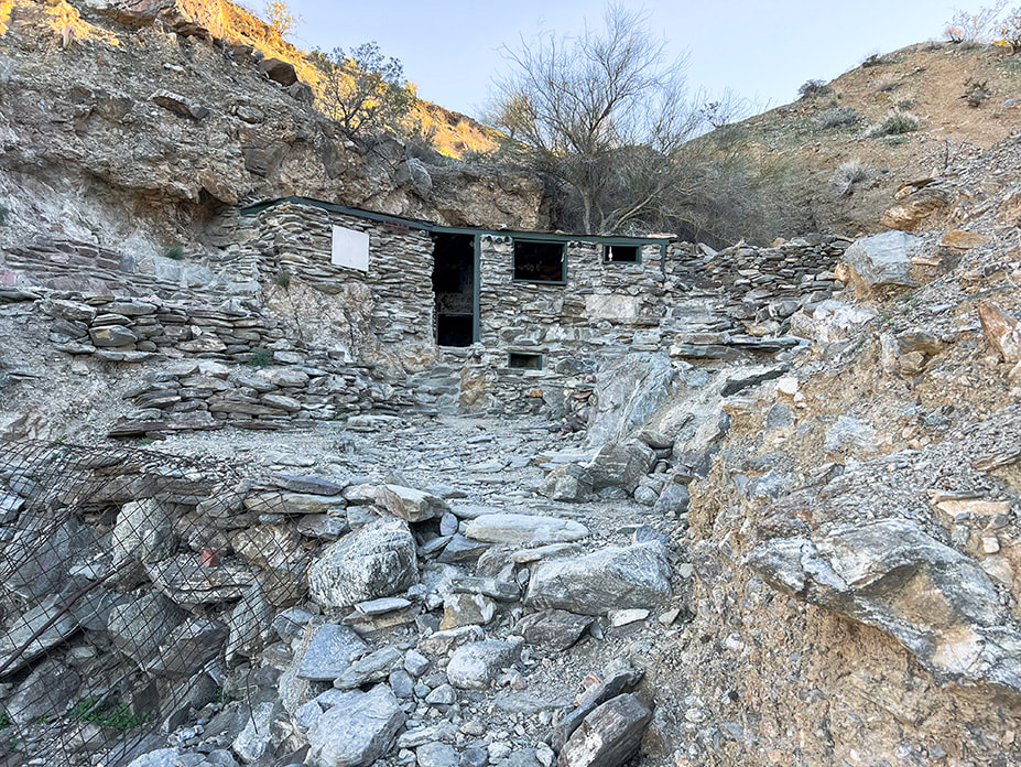 "Hotel California", located up long wash in the Orocopia Mountains near Joshua Tree National Park's southern entrance. References
Carter, L. 2021. Ancient rock art and psychedelics.., The language that connects us all. From website: www.roXiva.com. Corn Springs - Wikipedia. Crowell, J., et al. 1979. Tectonics of the Juncture Between the San Andreas Fault System and the Salton Trough, Southeastern California. Dept. of Geological Sciences, University of California - Santa Barbara. Devereux, P. 2008. The Association of Prehistoric Rock Art and Rock Selection with Acoustically Significant Landscape Locations. The Archaeology of Semiotics and the Social Order of Things. BAR International Series #1833. Freers, S. 2018. Simply Scratching the Surface: Petroglyph Chronology in the Colorado Desert. San Diego Rock Art Association. Rock Art Papers, Vol. 19. Gough, G. Sacred Landscape and Native American Rock Art. Lingenfelter, R. 1978. Steamboats on the Colorado River: 1852 - 1916. The University of Arizona Press. Powell, R. 1981. Geologic map of the crystalline basement complex in the southern half of the eastern Transverse Ranges, Southern California: Supplement 1 from "Geology of the Crystalline Basement Complex, Eastern Transverse Ranges, Southern California: Constraints on Regional Tectonic Interpretation". Ringing Rocks and Sonorous Stones. 2020. From website Spooky Geology. https://spookygeology.com/ringing-rocks-and-sonorous-stones/ |
Categories
All
Sue and Fred
About this blogExploration documentaries – "explorumentaries" list trip stats and highlights of each hike or bike ride, often with some interesting history or geology. Years ago, I wrote these for friends and family to let them know what my husband, Fred and I were up to on weekends, and also to showcase the incredible land of the west.
To Subscribe to Explorumentary adventure blog and receive new posts by email: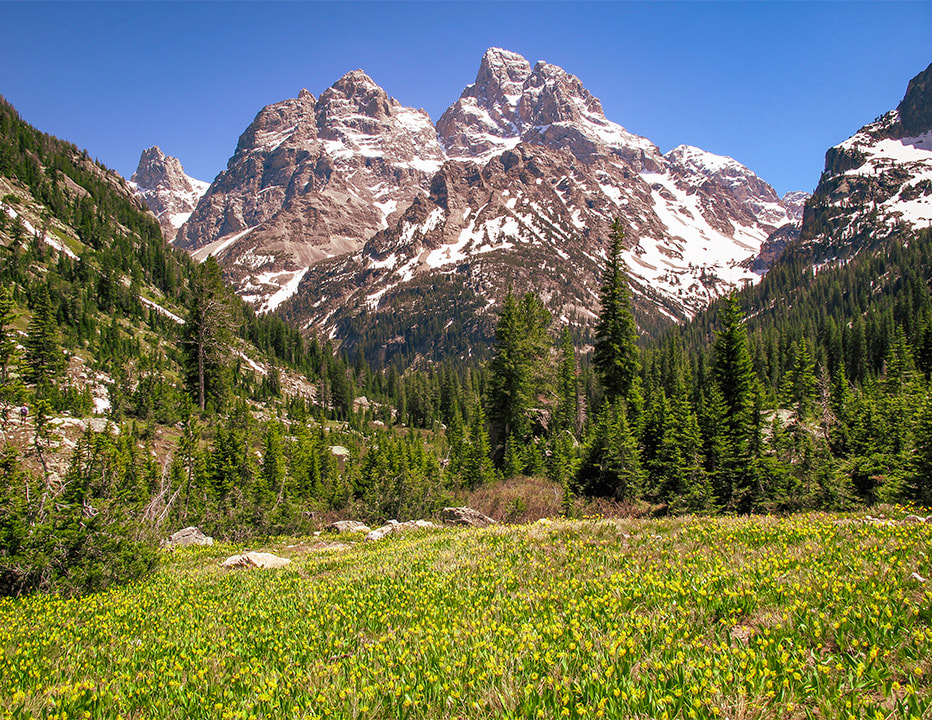
Happy Spring!
About the Author
|