|
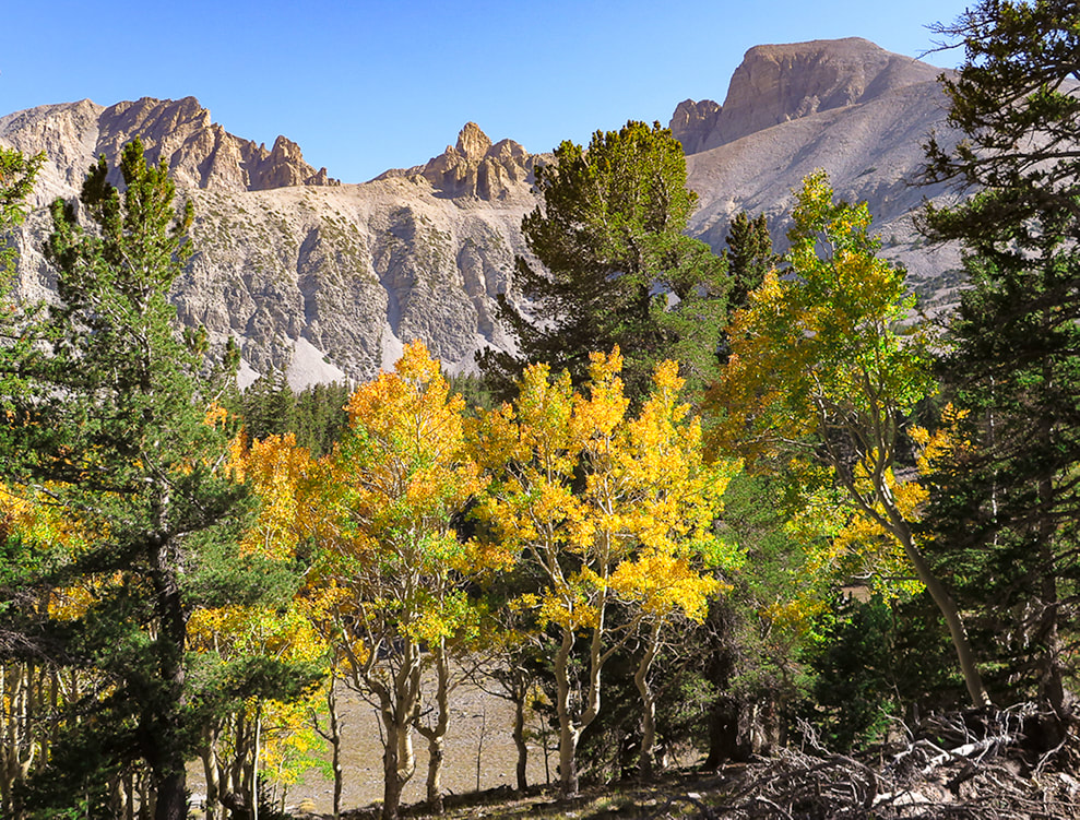
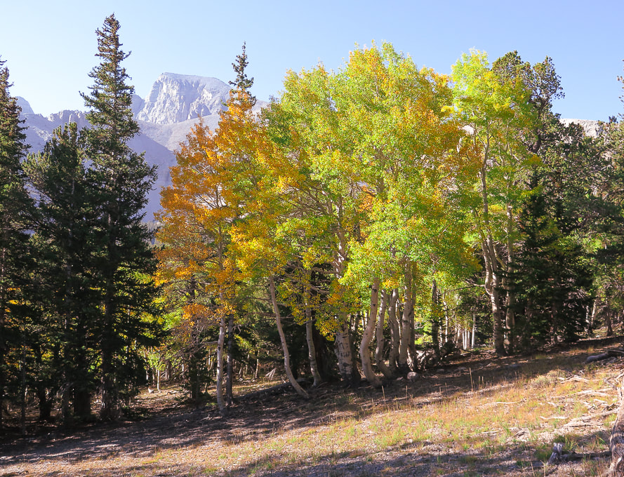
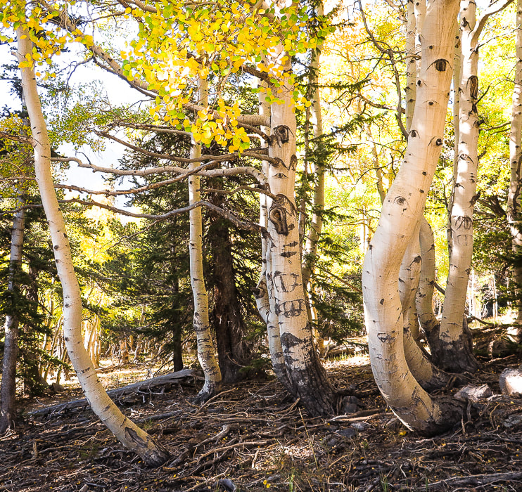
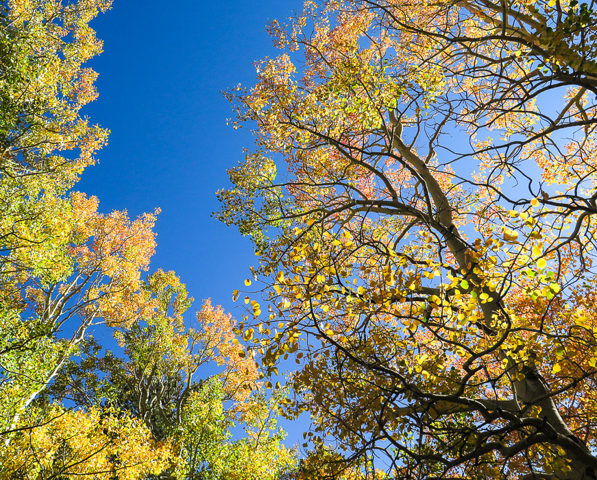
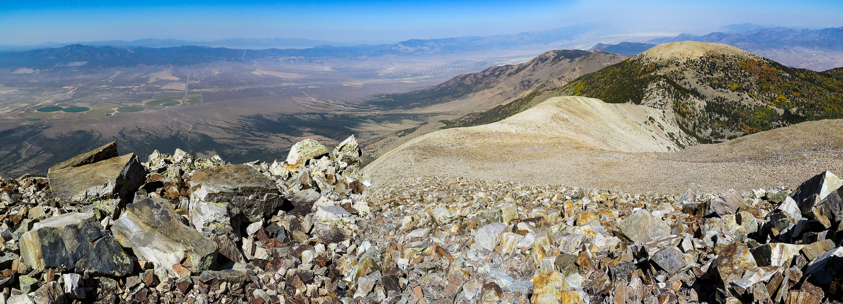
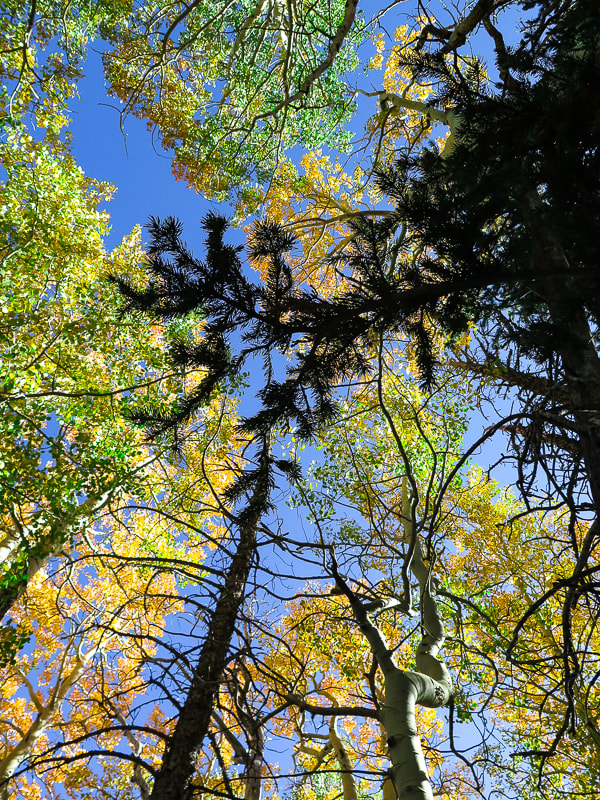
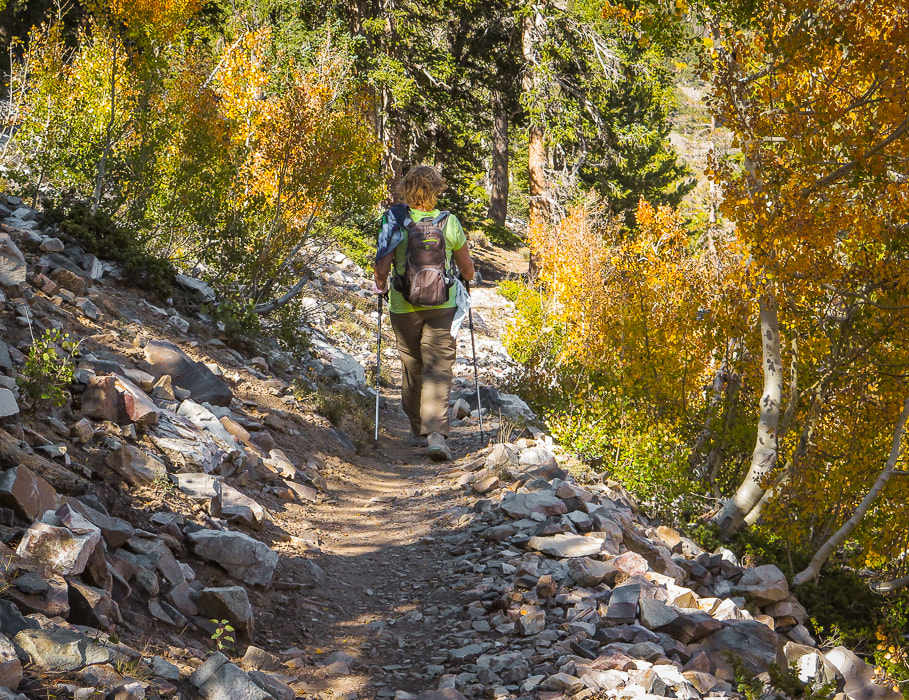
Great opportunity to see an astounding view of eastern Nevada from its second-highest peak way above tree line on a well-maintained trail. We picked a gorgeous late summer day when the aspens in the high country were changing color. Wheeler Peak (right) on a beautiful September day. Trail follows ridge line on the right of peak. Trip Stats for hike via Alpine Lakes Loop Trail and Wheeler Peak Trail
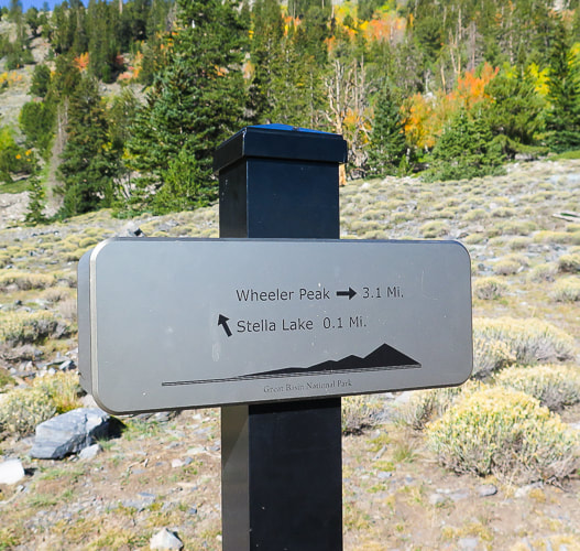
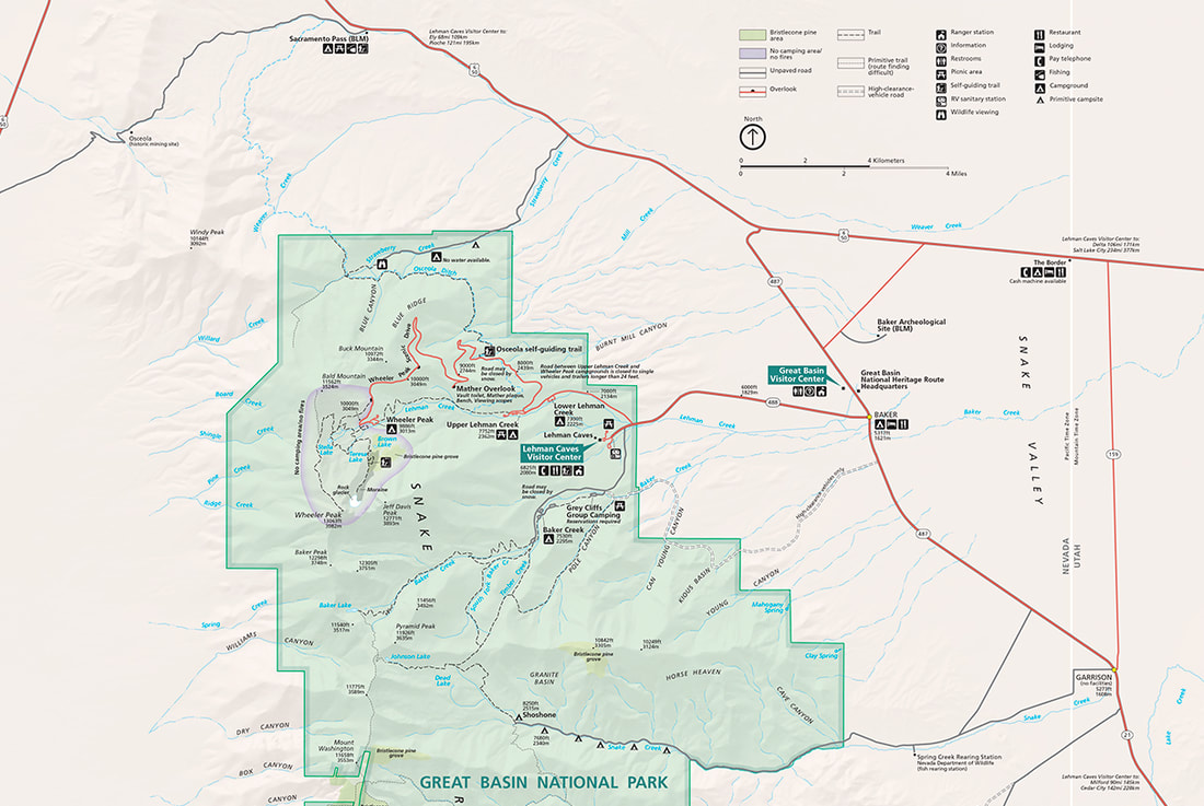
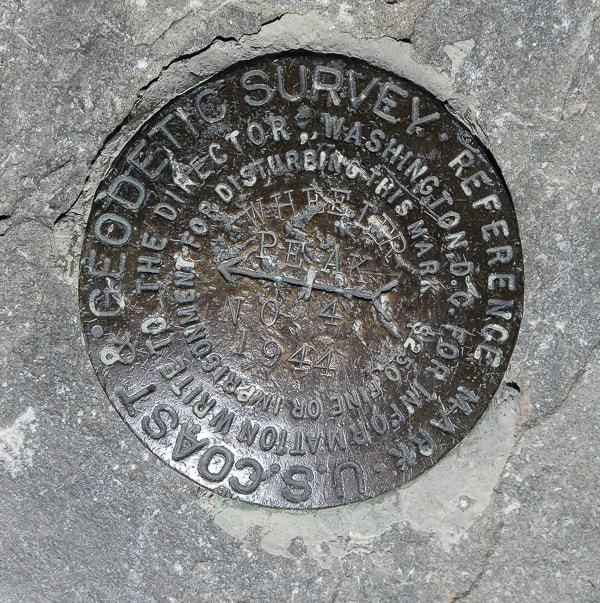
Location: Snake Range, eastern Nevada, Great Basin National Park: closest towns are Baker and Ely. Trailhead: Bristlecone - Alpine Lakes Trailhead. Distance and Elevation Gain: 8.4 miles out and back for a 3,100' gain. Trailhead = 9,957', Summit = 13,063'. Difficulty: Moderate - Strenuous Class 1 Coordinates: Wheeler Peak Summit: 11S 0732663 E 4318632N Trailhead: 11S 0733174E 4321347N (UTM). Permit/Fees: No entrance fee, no permit required. Maps: Great Basin NP, Google Mymaps interactive map (below), Great Basin National Park - National Geographic Trails Illustrated map 269. Date Hiked: September 15, 2021. Considerations: Trail is exposed for last 2 miles (and 2,000 feet of elevation) to the summit - watch weather. There are 2 trailheads: Alpine Lakes Loop Trail and Wheeler Peak Summit Trail. See park map below. Ridge line is very windy. History: Named after George Wheeler of the Wheeler Expedition in charge of surveying southeastern and southern Nevada in 1869. He and a party consisting of a guide, the Nevada state geologist, and three others succeeded in reaching the summit and found, through careful barometric measurements, the elevation to be 13,063 feet above sea level. Measurements for the precise distance to other mountain peaks were conducted for four summers beginning in 1881. The survey, combined with other federal surveys, resulted in the first accurate network of surveyed points crossing the continent. Related Posts:
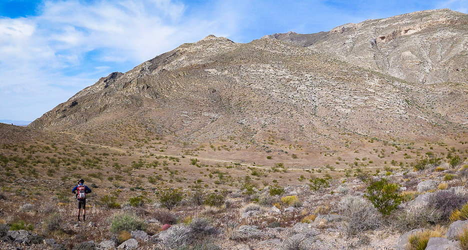
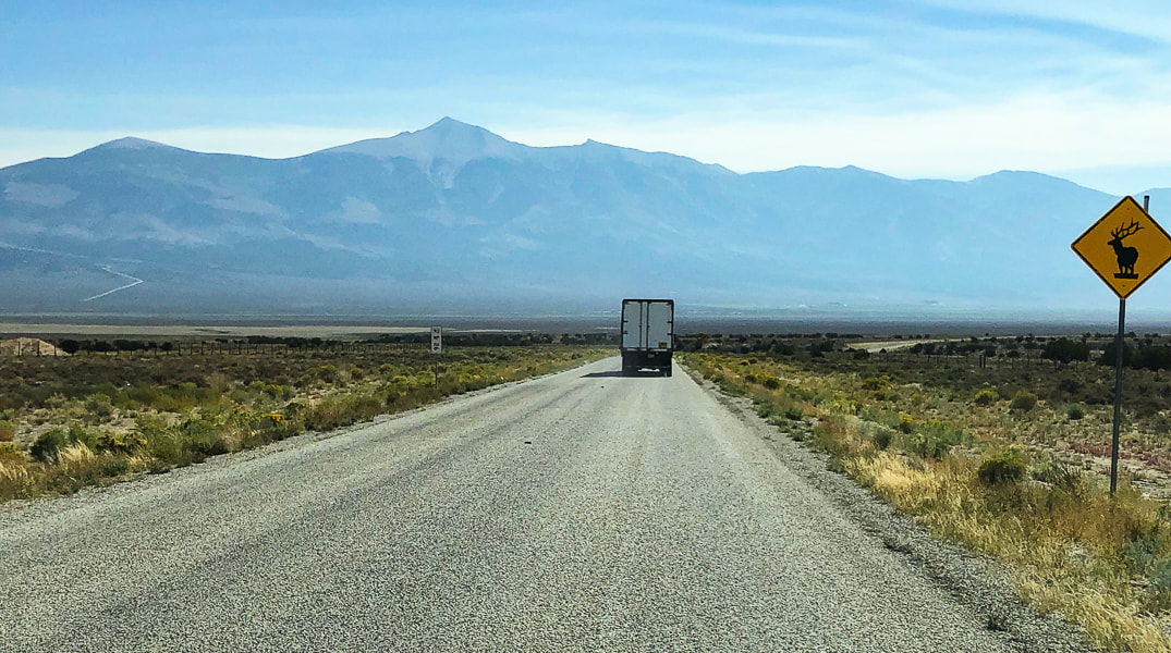
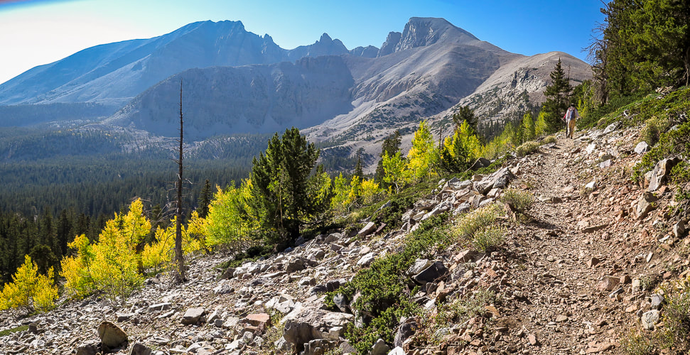
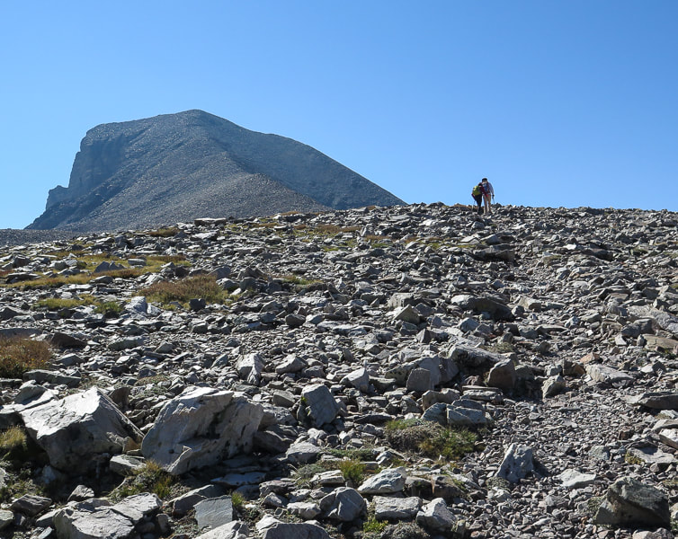
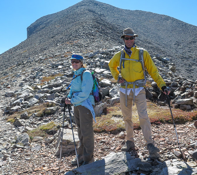
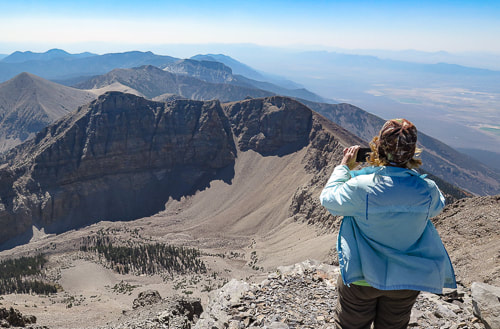
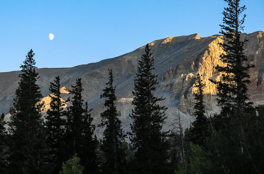
Video - the final climb to the top Overview Long before our turn-off to Ely from northbound Nevada Highway 93, we saw the point in the sky that we would be standing on the following day - the summit of the giant and majestic Wheeler Peak in eastern Nevada. Definitely worth a grin and a "wow" from two people who love to get to high places! Wheeler is the second-highest Nevada peak. Boundary Peak, close to the California border, is Nevada's highest. Stately Wheeler Peak stands with authority over lesser peaks of the Humboldt-Toiyabe National Forest, surrounded by miles of sagebrush in what is known as the Great Basin. We met our friends Val and John for the hike. All four of us had been on our share of immense loose and trail-less talus slopes this past summer while climbing some of Idaho's highest peaks in the Lost River Range (Leatherman Peak), so we were grateful for Wheeler's stable and well-defined trail to the summit. Yes, it is steep and rocky, but not intimidating. The forest thins at about 2 miles into the hike, and views of jagged Doso Doyabi ("white mountain" in Shoshone language), to the left (east) of Wheeler are spectacular. Steep, huge rock slopes cascade down from these high points, and at various times of the day they are hidden in shadows. The Wheeler Peak glacier sits protected in a cirque at 11,500 feet. It's pretty small (2 acres), and the only glacier in Nevada. Some of the fiercest winds I have ever encountered were on the ridge leading to the final steep ascent at about 2.5 miles into the hike, when Fred and I hiked this summit 18 years ago. This time the wind speed wasn't blowing us over, but it still had us holding onto our hats. In contrast, at the top an intermittent breeze wafted in and out of our summit celebration. Wheeler Peak towers over the sagebrush steppes of eastern Nevada. This photo was taken while driving east from Ely, Nevada. Val and Fred at trailhead
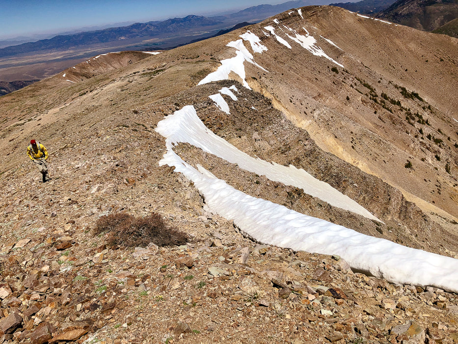
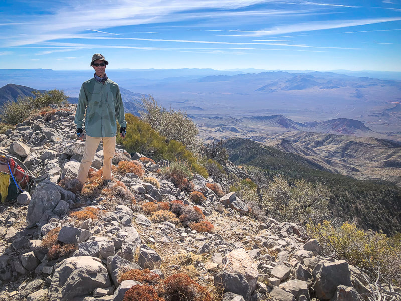
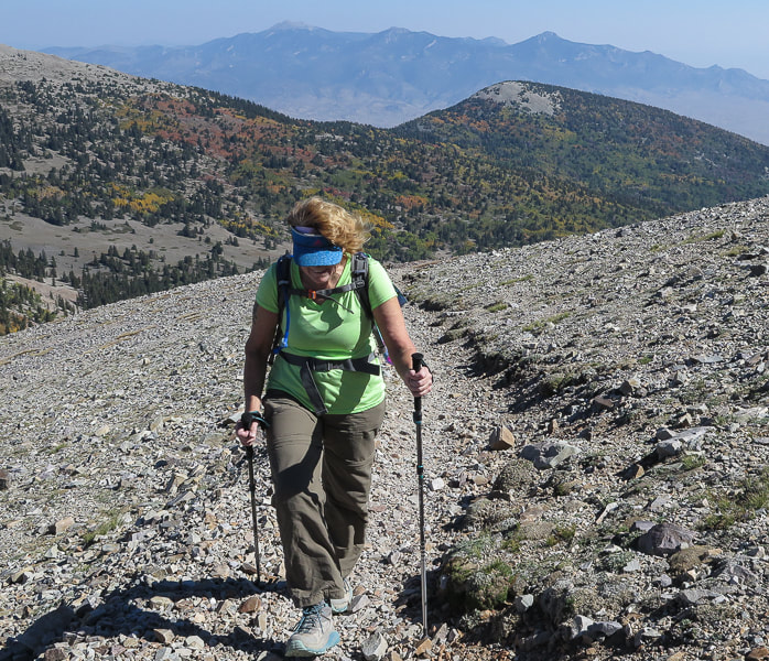
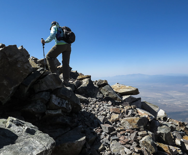
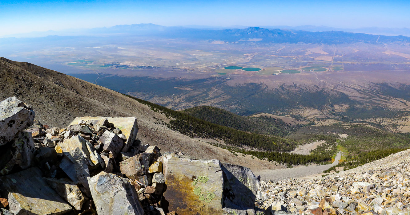
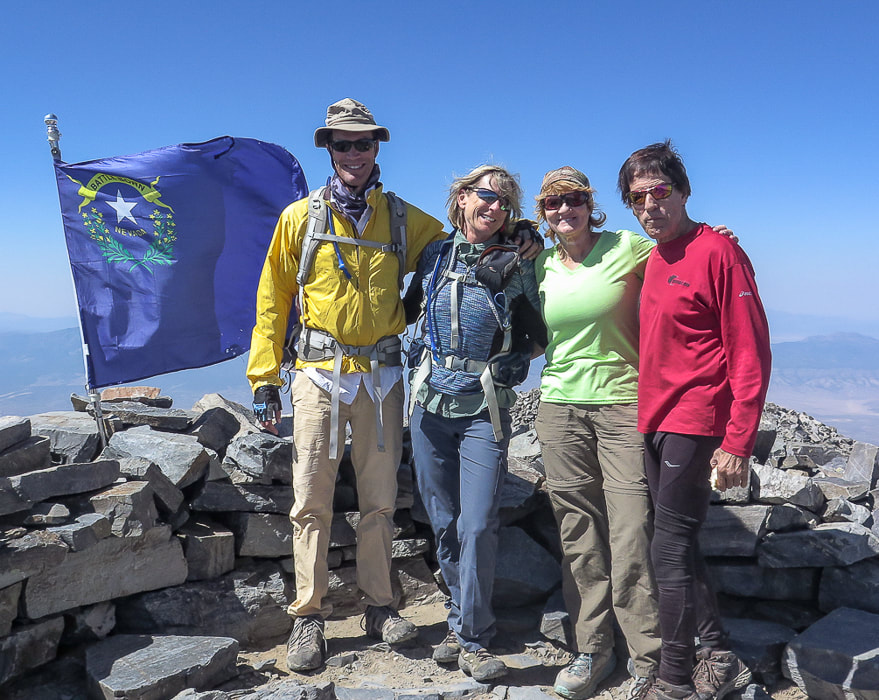
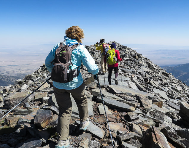
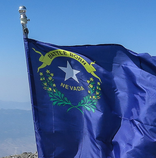
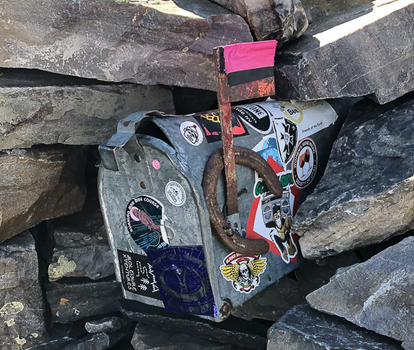
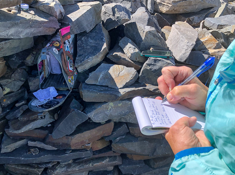
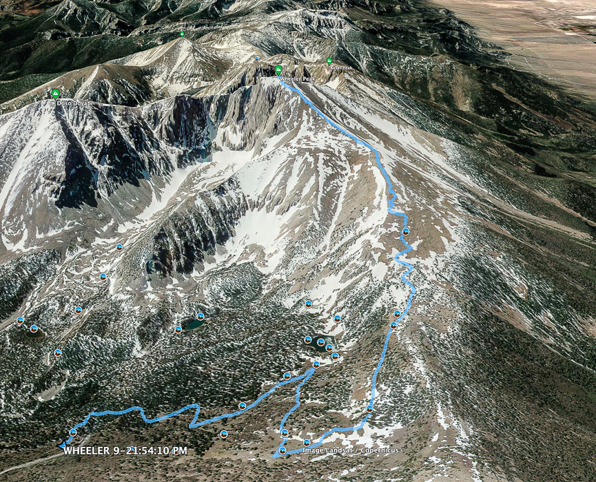
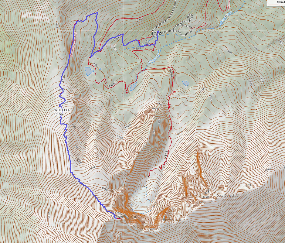
First view of Wheeler Peak on Alpine Lakes Loop Trail On the Wheeler Peak Trail: Doso Doyabi on the left and Wheeler Peak on the right. This trail emerges from tree line at ~ 11,500 feet. On the way up on trail through stable quartzite talus! As the trail emerges from the glacial valley, it climbs through quartzite, a metamorphic sandstone that tends to form resistant ridges and hilltops. A few rock shelters line the trail as it traverses Wheeler's northwest exposed ridge, built by hikers for wind protection. It's pretty darn windy on this section, so we had to shout in order to hear each other. No lightning worries - there wasn't a cloud in the sky. There were some shelters that appeared to be a bit larger, very level and well-constructed. These may have been the tent platforms built by the Wheeler Survey in 1881, according to Bruce Grubbs, from his book Exploring the Great Basin (see History, above). Val, Fred and I were sticking together, John was ahead. Quartzite is resistant to weathering and contains a high amount of silica which doesn't break down much to form soil. The scant amount of vegetation present seems to find small rock recesses to cling to. Arriving onto the north spine of the summit block, the winds calm and the trail steepens. It's just a matter of kicking one foot in front of the other to climb the last spiral path to the summit. A cobalt-blue Nevada state flag, it's edge frayed from the wind marks this significant point in Nevada. The flag's phrase "Battle Born" signifies Nevada's entrance into the union during the civil war. It also illustrates Nevada's state flower with two sagebrush branches. Looking northwest to Spring Valley and the Schell Creek Range Looking north toward Bald Mountain and Schell Creek Range Next to Nevada state flag at 13,063 feet - Fred, Sue, Val, and John Nevada's flag pictures two sagebrush branches encircling a silver star with the words "Nevada" and Battle Born". On Wheeler Peak summit As usual, John summited first out of our group. This explains why I don't have as many photos of him. He is one of the fittest 71-year olds I know! We had a lot of time to enjoy the summit and talk to other hikers, bask in the sun and sign the summit register, a notepad stashed into a dented and decorated mail box. We were standing over the other mountains of the Snake Range. Utah was not far to the east. The next parallel mountain range to the west separated from us by the Spring Valley basin is the Schell Creek Range, with tempting high points. We plan to summit North Schell Peak, the range's highest at 11,883 feet. Hopefully we will get back to Nevada's Basin and Range soon. So many adventures to do, so little time, as I always like to say. Scenes from the summit Signing the summit register. I don't recall seeing a "summit mailbox" before, but it's more fun than the standard water bottle or ammo box! Doso Doyabi (White Mountain in Shoshone language), to the east of Wheeler Peak Post-hike dinner We celebrated at Kerouac's, a restaurant and bar at Stargazer Inn with exceptional food in the little town of Baker, just outside the entrance to the Great Basin National Park. The meatballs had a kick to them and were fantastic, their specialty cocktail of the night was a refreshing fresh peach bourbon sour called "Princess Peach". I highly recommend this place whose website states, "Kerouac's is an homage to life on the American road and to feeling at home in unexpected places." Obviously they are referring to Jack Kerouac and his legendary novel "On the Road", an account of his road trips across the country in the 1940's. The roads of the American West lead to all sorts of adventures, and as Kerouac said, "Because in the end you won't remember the time you spent in the office or mowing your lawn." But you will remember your times spent in nature. Keep on exploring! The well-stocked Kerouac's Restaurant and Bar in Baker, Nevada. Great Basin National Park map click for larger image Google Earth image of our GPS tracks to Wheeler Peak summit from parking lot at Bristlecone - Alpine Lakes trailhead. Top of map is south. Our GPS tracks on Alpine Lakes Loop Trail, Wheeler Peak Summit Trail. Top of map is north. Wheeler Peak at bottom of map. References
Grubbs, B. Exploring Great Basin National Park. 2010. Bright Angel Press, Flagstaff, AZ. Geologic Map of Great Basin National Park, Nevada. National Park Service. Historic Resource Study, Great Basin National Park, Nevada. Why Wheeler Peak? U.S. National Park Service.
6 Comments
Valerie
10/8/2021 06:09:48 pm
This was a fantastic hike! Really enjoyed spending the day with you and Fred and getting to the top of this beautiful mountain! With the golden fall colors and bluebird sky it was a perfect fall day for our adventure!
Reply
Linda Paul
10/10/2021 12:22:55 pm
Another great vicarious trip. I can't believe someone hauled a mailbox all the way up there! What a great touch. It looks pretty full. If forced to pick a favorite photo, I think I'd pick "First view of Wheeler Peak." Although the aspen below that photo are pretty spectacular also.
Reply
Yes, we definitely go on great trips. Thanks for your comments. A lot of times it seems we are in somewhat of a hurry that I don't get the time I would like to spend on getting images. I need to slow down and make photography a goal instead of a summit! I like your mini-portfolios like your black and whites from your central Oregon trip - let the photos do the talking!!!
Reply
Christie Hallman
10/13/2021 09:13:32 am
Hi Sue! Just last night Gary and I were planning a trip through Nevada, and of course discussed Great Basin NP. Then this morning I opened your blog and walaaaa! We won’t have time to hike Wheeler, but soooo glad to be able to see it through your trip!!! I always enjoy your descriptive writings and learn so much from them. I love the ending line from Kerouac!!! When/if we make it to the Mesquite area this trip, still in the planning stages, we’ll definitely look you two up. Until then happy trails!
Reply
Hi Christie!
Reply
Leave a Reply. |
Categories
All
About this blogExploration documentaries – "explorumentaries" list trip stats and highlights of each hike or bike ride, often with some interesting history or geology. Years ago, I wrote these for friends and family to let them know what my husband, Fred and I were up to on weekends, and also to showcase the incredible land of the west.
To Subscribe to Explorumentary adventure blog and receive new posts by email:Happy Summer!
About the Author
|
