|
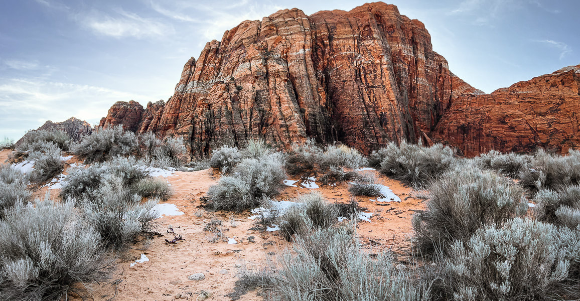
Images of sensational slickrock journeys in southwestern Utah. We've made a refreshing change in our mode of hiking and exploring. After years of using established trails, we are doing more hikes "cross-country" over slickrock or remote desert, where markers are few or none. We've been fortunate to hike with a fellow southern Utah explorer who has discovered the routes illustrated in the slickrock slideshows below. I still appreciate rock cairn markers over miles-long treks in slickrock seas, like Boulder Mail Trail to Death Hollow in Grand Staircase-Escalante. And, as the southwestern deserts heat up, we will find ourselves in higher elevations on signed forest trails. Navigation through slickrock country is a fun way to explore, but extra precautions are needed. You can use dead-reckoning and a compass to travel, but using a topo map helps you discover the canyons and plateaus between you and your destination. I've started using Topo Maps US, an iphone and ipad compatible navigation application (version 12.0 or later). With this app, you can download maps for areas in which you will be hiking, record and save your tracks. I also always use my Garmin GPS to record our tracks, and occasionally Avenza Maps. Don't Walk on the Crypto! (more info at end of this post).
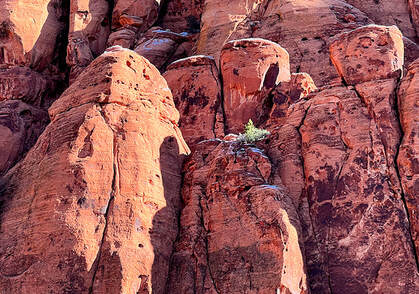
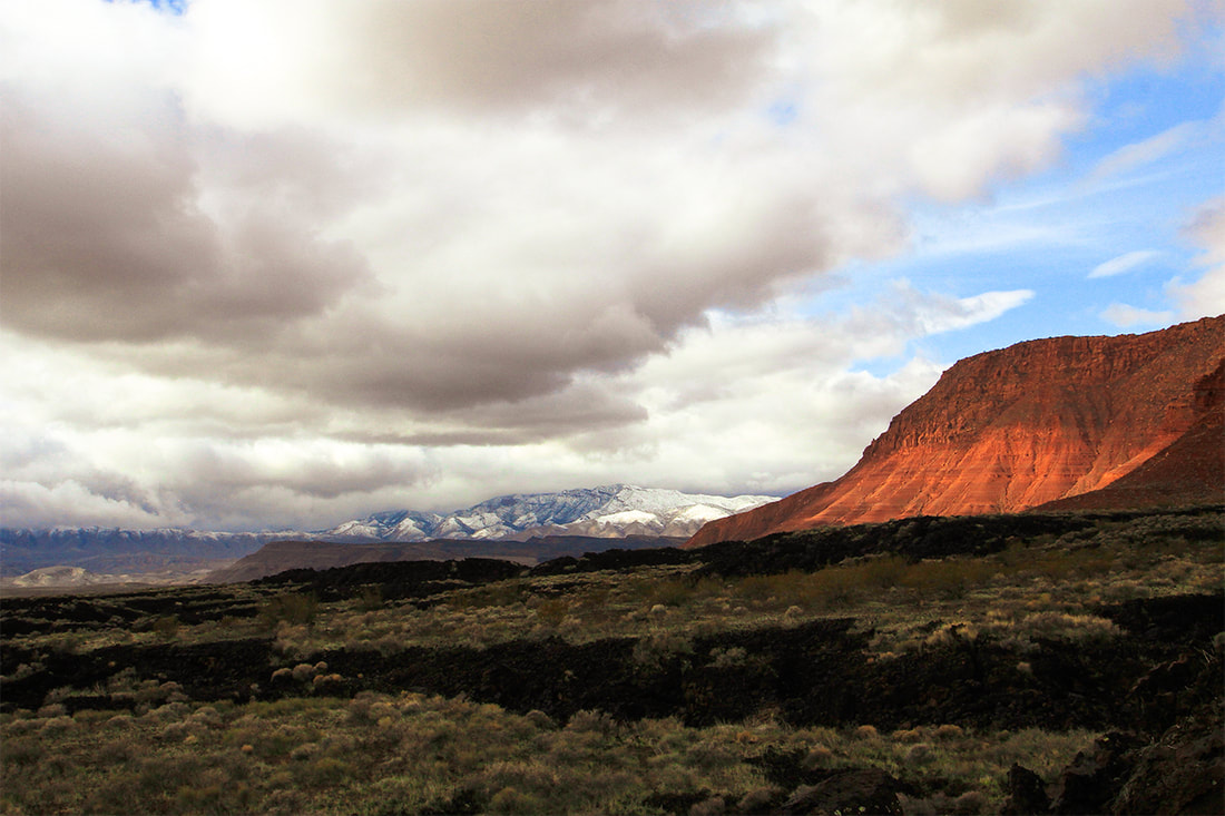
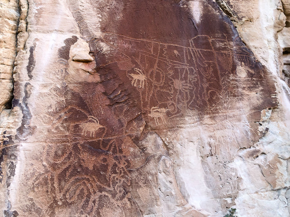
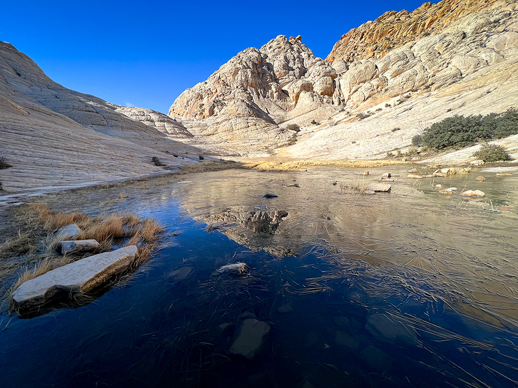
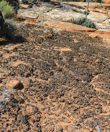
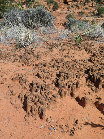
As in Slickrock Nirvana - Part One, the following slideshows contain images from our unique excursions. More images follow the slideshows. “Instructions for living a life. Pay attention. Be astonished. Tell about it.” ― Mary Oliver Yant Flat and areas around St. George, Utah Red Mountain Wilderness Snow Canyon State Park - basalt flows, Navajo Sandstone, and snow-covered Beaver Dam Mountains (limestone). For more on petroglyphs: In Search of the Rattlesnake Petroglyph Don't Walk on the Crypto! A subscriber to my posts asked a great question: "I wonder if you worry about the cryptobiotic crusts?" We had to dodge and maneuver around these amazing stabilizing soil crusts to avoid stepping on them. They're an important part of the ecology in desert ecosystems, and take many years to rebuild if destroyed. Cryptobiotic (biological) Soil Crusts
Cryptobiotic (biological) soil crusts, made of cyanobacteria, lichens and mosses. These form on easily eroded soils and increase stability and help provide more water infiltration and are the dominant source of nitrogen in pinyon-juniper ecosystems. These crusts hold the soil in place. Recovery of crusts that have been destroyed takes at least 45 years. 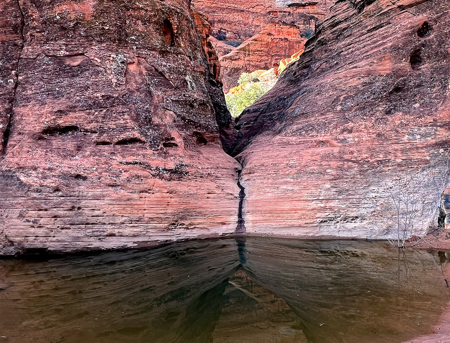 References
Loope, D. et al. 2016. Sandstones and Utah’s canyon country: Deposition, diagenesis, exhumation, and landscape evolution. University of Nebraska - Lincoln.
2 Comments
1/31/2023 11:03:42 am
More eye candy for the roving soul. This surely is a unique landscape.
Reply
Yes, "eye candy" is a great way to describe this red rock country. I miss it even if I'm away for a week!
Reply
Leave a Reply. |
Categories
All
About this blogExploration documentaries – "explorumentaries" list trip stats and highlights of each hike or bike ride, often with some interesting history or geology. Years ago, I wrote these for friends and family to let them know what my husband, Fred and I were up to on weekends, and also to showcase the incredible land of the west.
To Subscribe to Explorumentary adventure blog and receive new posts by email:Happy Summer!
About the Author
|
