|
The steep, final ascent up Gardner's forested summit requires climbing over a lot of deadfall and rocks, but the approach treks through a variety of terrain including eroded rock formations on a lightly-used trail. Hiking with two fellow yogis made it double the fun.
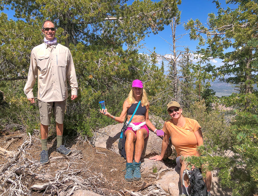
Fred, Lydia and Robin on Gardner Peak's summit.
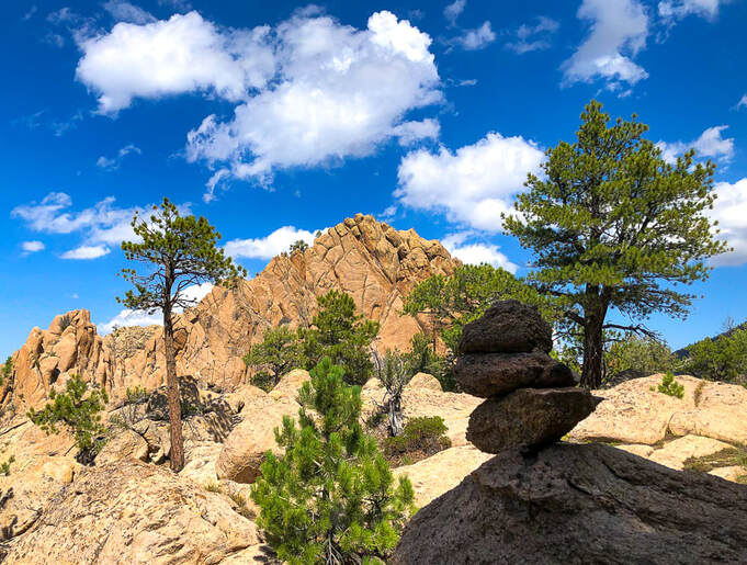
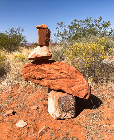
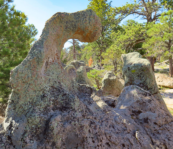
Pass by this pointed outcrop on the way up; this is a good landmark to navigate toward on descent from summit.
Trip Stats
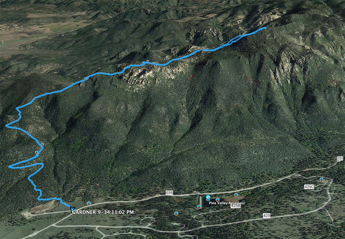
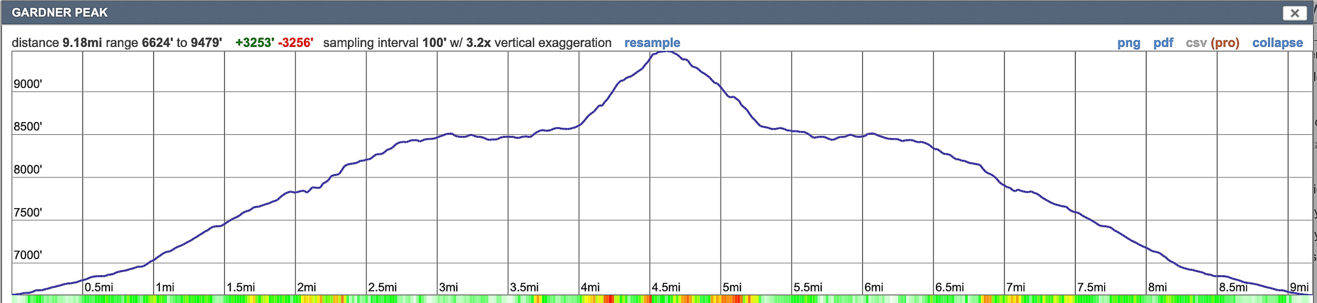
Location: Dixie National Forest, Pine Valley Ranger District. Trailhead in Pine Valley Recreation Area near town of Pine Valley, north of St. George, Utah. Distance and Elevation Gain: 9.2 miles round-trip; gain of 2,900' in 4.6 miles to summit. Trailhead elevation = 6,627'. Summit = 9,488'. Difficulty: Moderate Class 1 on cairned trail, Class 2 off-trail from base of mountain and Class 3 climbing near summit with minimal exposure. Coordinates: Summit = 37.39125, -113.45160. Trailhead = 37.38428, -113.48358. Permit: Day hikers parking at trailhead inside Pine Valley Recreation Area do not have to pay a fee at entrance station. Maps and Apps: Trails Illustrated Topo Map - St. George/Pine Valley Mountains #715, AllTrails app, Garmin GPS, USGS 7.5 minute topo - Grass Valley quad. Dates Hiked: 9/3/2021, 8/28/2022. Considerations: Experience in navigating through forest necessary (no official trail). I suggest long pants to avoid shin scraping when crawling over deadfall and through rock walls. Geology: Pine Valley Mountains are remnants of the Pine Valley Laccolith, one of the largest laccoliths in the U.S. (See "For the Geo-curious" below). Radiometric dates show the monzonite porphyry rock was formed 22 million years ago. History: Robert Gardner, Jr. was one of the original settlers of Pine Valley who helped establish a lumber mill. Driving Directions: Directions from St. George: Take Highway 18 north for about 24 miles, turn right at the Pine Valley junction (E. Pine Valley Road) and drive 8 miles until you reach a "T" in the road. Turn left and continue for about 1.5 miles. The trailhead is located on the left just after the Pine Valley Recreation Area entrance gate.
Overview
This time, on our second Gardner Peak hike, Fred and I got to share the trail with Lydia and Robin. Lydia, our lithe, exuberant and fit yoga teacher showed her love and refreshing awareness of nature and a beautiful tree pose atop a sculpted boulder. Robin, our fit fellow yogi, with a huge supply of bright optimism, has been training for her upcoming Grand Canyon rim to rim hike. Since we knew the way, Fred and I were able to get us up the steep and rocky deadfall-littered summit block. After a cairned trail to Gardner's base, there's few signs of a trail, except for a few "ducks" here and there. We followed my previous Gardner Peak GPS tracks, had a summit celebration, and found our entry from last year in the summit register. We discovered another register a few steps down on a slightly lower summit. Check out Lydia's excellent and fun adventure website - On the Loose Live for an account of this hike plus lots more interesting explorations and beautiful photography.
Gardner Peak sits right on the Pine Valley Mountain Wilderness boundary and although its trail may not be officially in the wilderness, it feels like it is because the trail is narrow and lightly used, less so than the higher and busier Burger Peak hike. The trail treks through a small area burned from the 2020 Gardner fire. You will reach two false peaks before you get to the summit - a narrow rock perch with a view only to the east.
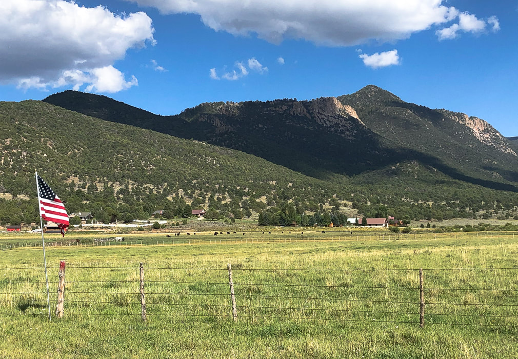
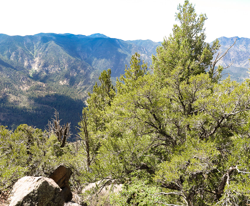
Gardner Peak overlooking Pine Valley, Utah
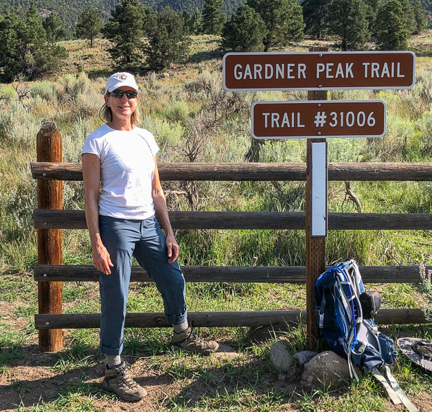
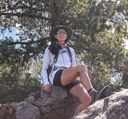
Sue at trailhead in new Kuhl hiking pants.
Gardner Peak Trail to base of Gardner Peak
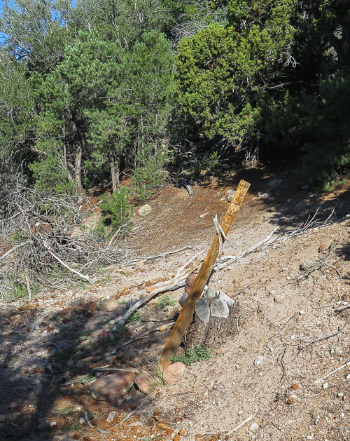
Driving past the Pine Valley Recreation Area entrance station, Gardner Peak trailhead is a short distance on the left. You may share the sagebrush-lined trail with cows for the first 1/2 mile. The trail quickly ascends into the forest, then at 0.9 miles intersects with the Canal Trail which traverses the base of the mountain. By walking a few yards to the left on the Canal Trail, painted rocks and an old signless post propped by a cut tree trunk mark the Gardner Peak trailhead. Continue north on a steep and rocky trail.
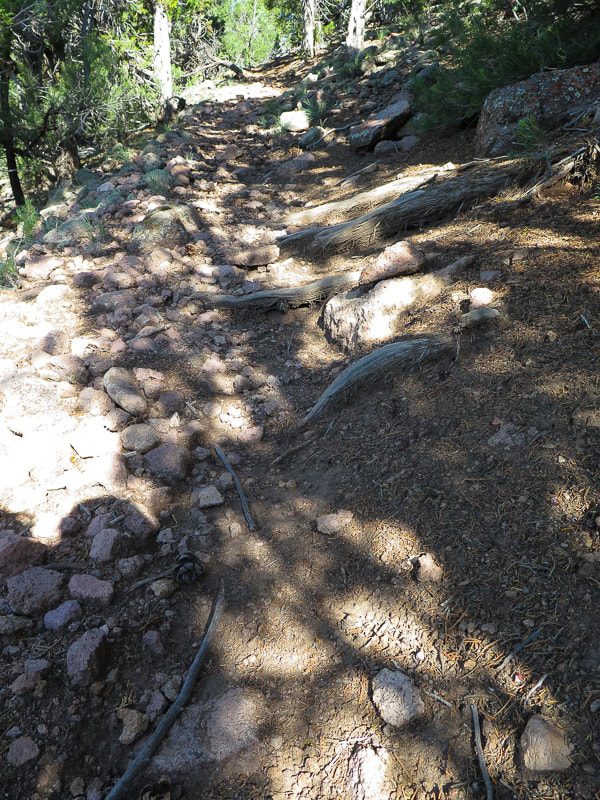
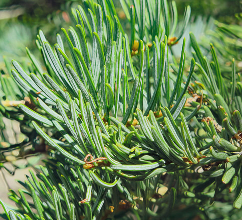
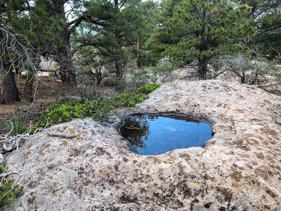
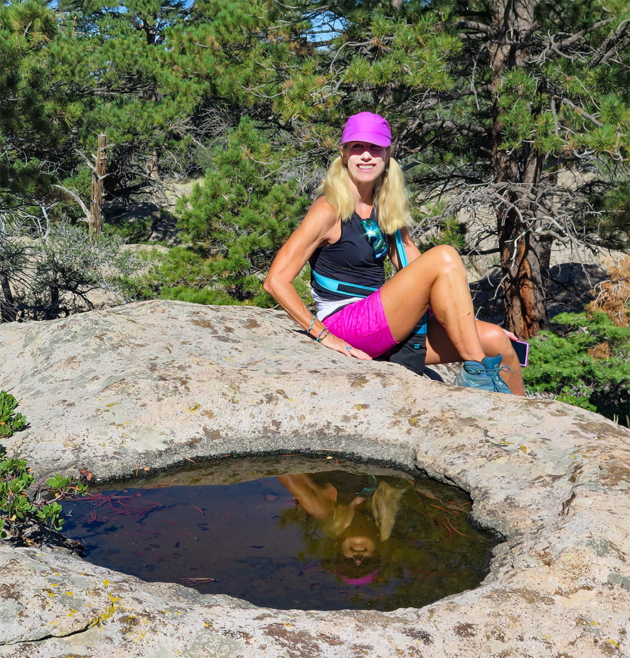
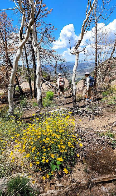
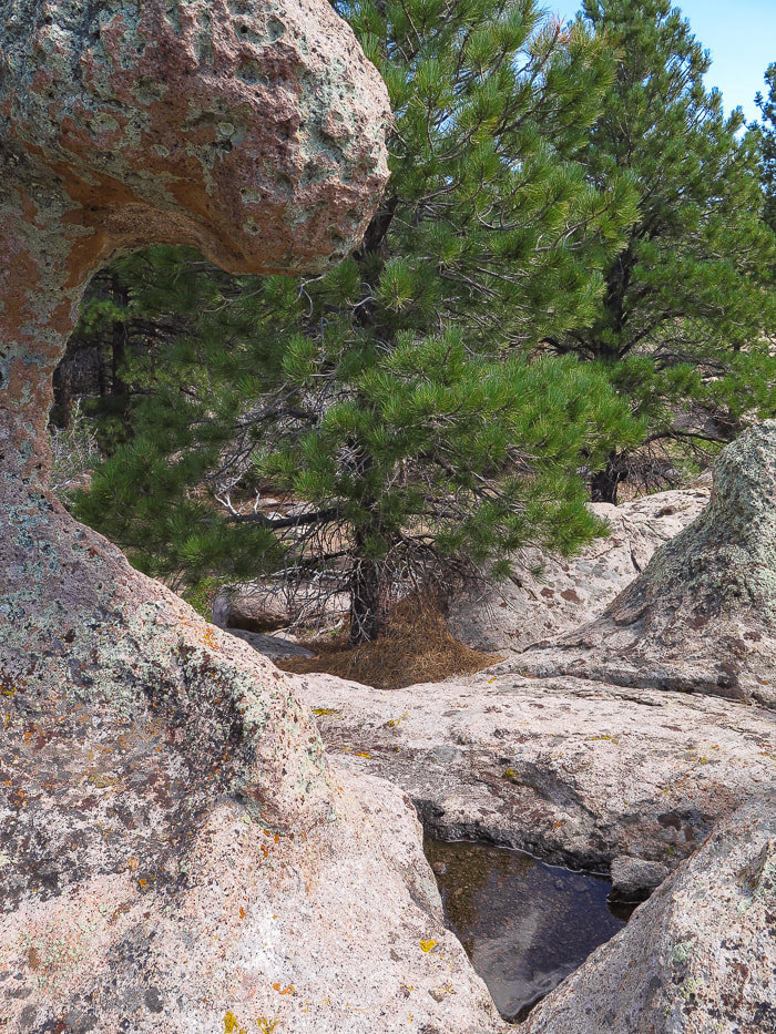
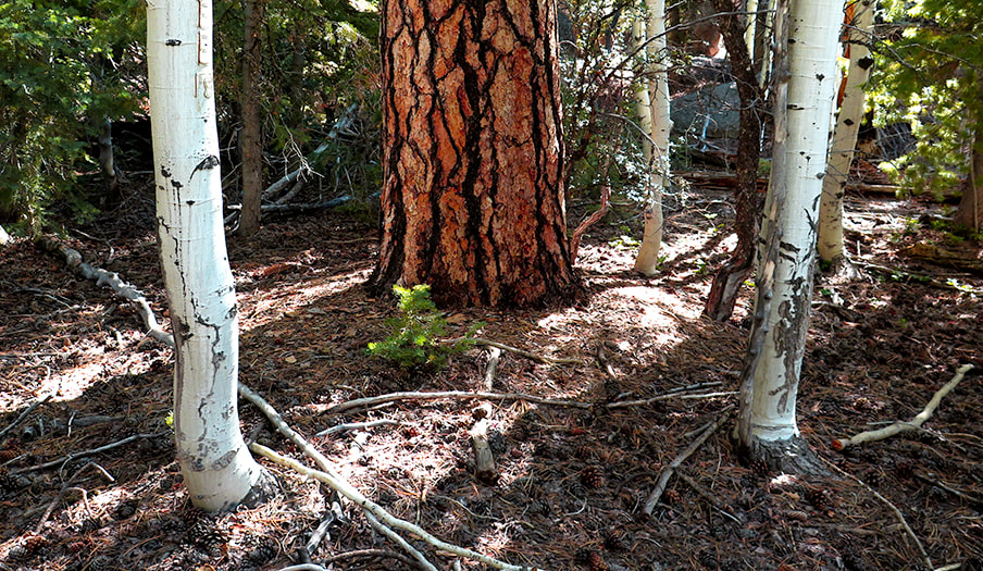
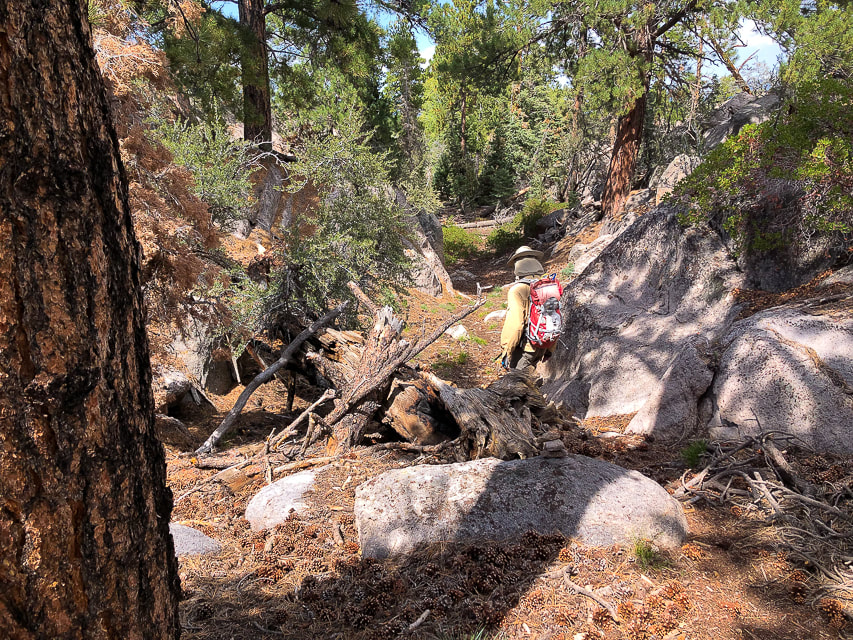
The forest becomes thicker; the trail is faint in some areas. It turns east and at two miles crosses over a saddle with a great view of Grass Valley below. The forest shade becomes more abundant, with a beautiful combination of ponderosa pines and aspen. The trail stays narrow, weaving around large boulders, and over bare rock with rain water pools etched into its surface. An adequate amount of cairns marks the trail, except when it crosses the burned area from the 2020 Gardner fire, where we used the AllTrails app to find our course. Go straight ahead when you reach this section; we went too high onto the bare rock to the right. The trail then descends steeply to cross a dry run-off stream section and continues to Jodes Flat, the small meadow at the base of Gardner Peak.
Base of Gardner Peak to the summit
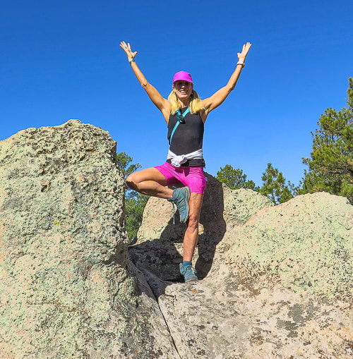
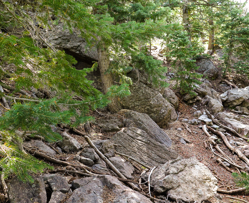
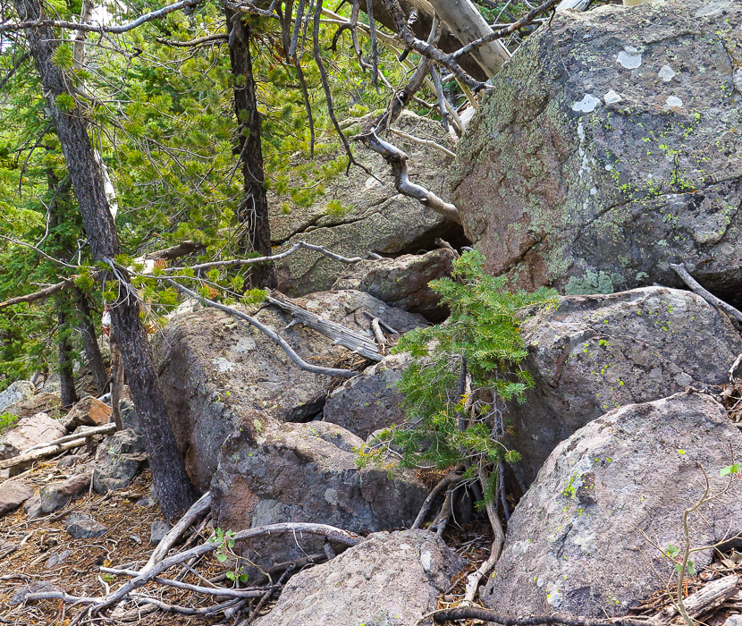
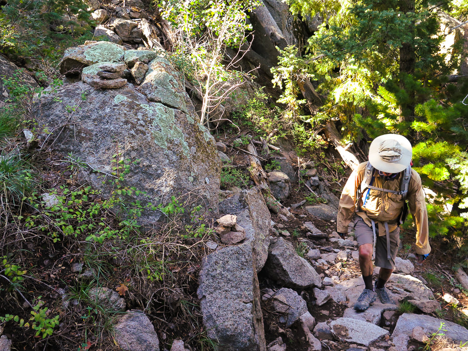
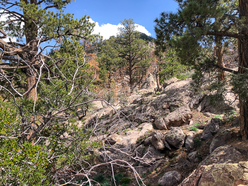
At 3.8 miles from the trailhead, after the short fire area, reach the small meadow, Jodes Flat, to see the thick forest on the west side of Gardner Peak. This is where the trail ends. We walked straight up this flank for a 900' gain, aiming toward the peak coordinates. There is a lot of deadfall to crawl over and Class 3 climbing through huge rock outcrops toward the top, as well as 2 false summits. The summit is small - basically a few huge boulders with a register with a few entries hidden under rocks. The summit is mostly forested, but a view to the east looks over a deep canyon. A forested summit is not as spectacular as a bare, above-treeline perch overlooking huge expanses of terrain, like Leatherman Peak, which we summited last July. But they are still great and each has its own characteristics that stand out in my memory of them. The reward of finding an unseen summit as you keep on seeing more sky as you climb is extraordinary. Keeping the bare rock outcrop we had passed on the way up in view, and using my GPS trackback, we found our way back to Jodes Flat. It's easy to get disoriented; you basically want to head northwest. Hiking with Robin and Lydia was a joyful excursion, reminding me that moving in nature is important for optimal health. And if you can do yoga balance poses on a steep boulder, all the better!
"Between every two pines is a doorway to a new world."
- John Muir Keep On Exploring! Stay close to Nature! 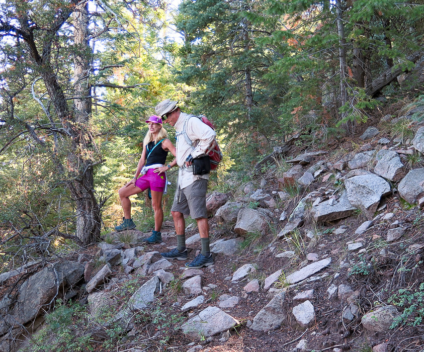
Lydia and Fred on the way up.
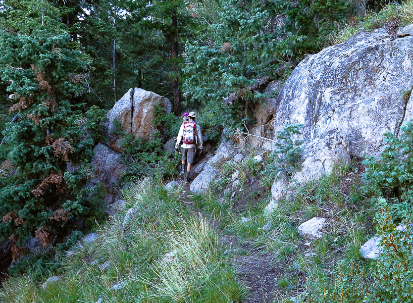
Walking into forest after valley view to the north.
Ducks mark the trail.
View ahead of crags - we used these as a landmark to descend peak; rock cairns (right) mark the trail.
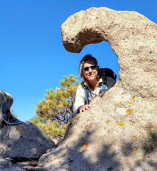
Lydia at sculpted rocks section of trail.
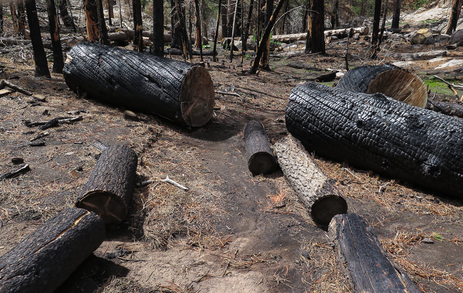
Short section burned from the 2020 Gardner fire.
Some cool stuff on the trail.
Fred and Sue hiking through burned section - thanks for the photo, Lydia!
Fred winding through Ponderosa pines on section before you reach sculpted rocks.
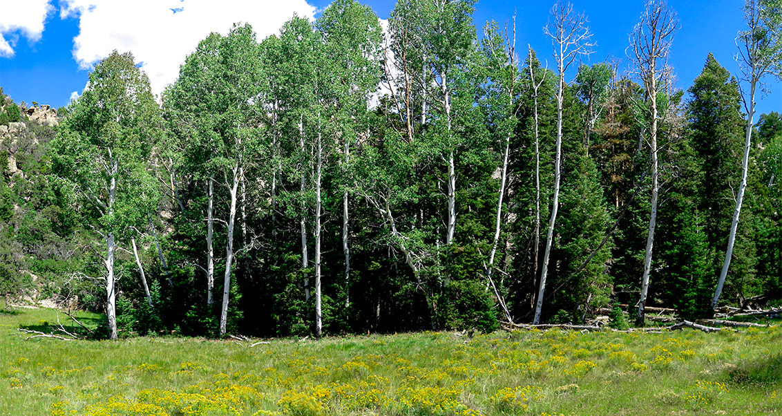
One of the many meadows in Pine Valley Mountains
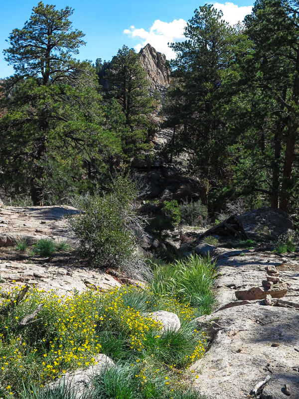
A look at the peak ahead.
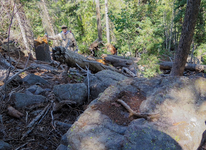
Fred and Robin maneuvering through deadfall and boulders near the summit.
Yep, there's lots of rocks and trees to navigate when climbing the off-trail portion to the summit!
(900' elevation gain).
Scenes from the top of Gardner Peak

View from Gardner Peak of Pine Valley Mountain Wilderness to the south
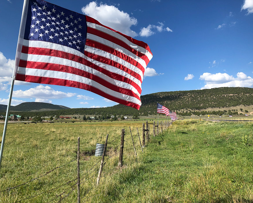
Pine Valley celebrating Labor Day
For the Geo-curious - Pine Valley Laccolith
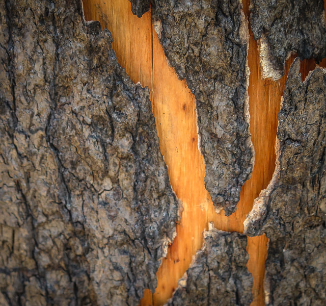
A laccolith is a large amount of magma that is injected between layers of rock, causing a dome-shaped mass. In this case, the Pine Valley Laccolith was a final surge of magma that occurred after the initial volcanic vents were shut off, causing the magma to be squeezed and move sideways between the layers of the Claron formation below it and the overlying magma layer. This injection, 22 million years ago, amounted to a 3,000-foot layer of monzonite porphyry, composed mainly of plagioclase and alkali feldspar. This is similar to granite, and when you look at a fresh surface of the rock, you can see the crystals, indicating the rock cooled slowly enough to form large crystals - allowing us to easily see them. The laccolith was uncovered when the volcanic layer above it eroded. The Claron Formation is made of limestone and mudstone; it is the rock that makes the spectacular hoodoos seen in Bryce Canyon National Park.
Interactive map of our GPS tracks to Gardner Peak
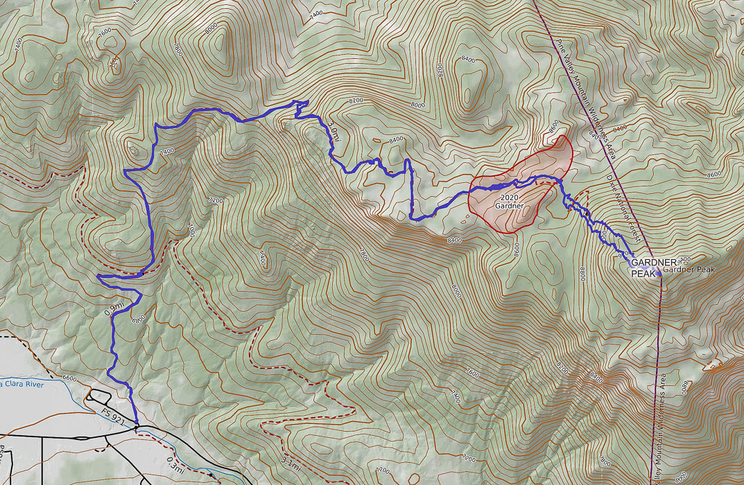
Our GPS track; note extent of 2020 Gardner fire on map. Gardner Peak is on the boundary of Pine Valley Mountain Wilderness Area.
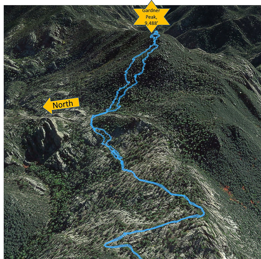
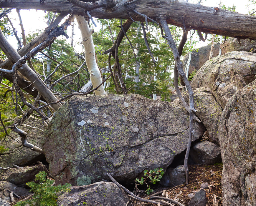
The last section of hike through rock outcrops to the summit.
References:
Miller, R. Our Geological Wonderland: The Pine Valley Mountain Laccolith. The Independent - A Voice for Southern Utah. Feb. 2018. Pine Valley Day: The story of how 'the most beautiful sight' went from lumber supplier to summer retreat. By Reuben Wadsworth reporting in the St, George News. Pine Valley Chapel 1868. Informational flyer about the history of Pine Valley and its chapel, available at the Pine Valley Chapel.
3 Comments
|
Categories
All

Sue and Fred

About this blogExploration documentaries – "explorumentaries" list trip stats and highlights of each hike or bike ride, often with some interesting history or geology. Years ago, I wrote these for friends and family to let them know what my husband, Fred and I were up to on weekends, and also to showcase the incredible land of the west.
To Subscribe to Explorumentary adventure blog and receive new posts by email:
Happy Summer!

About the Author
|