|
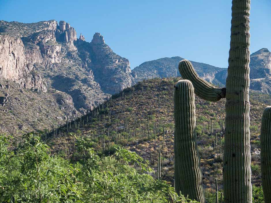
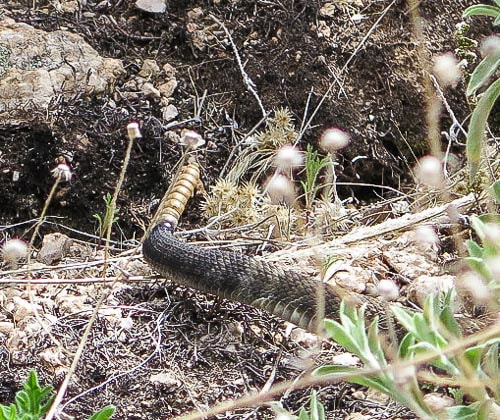
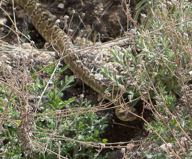
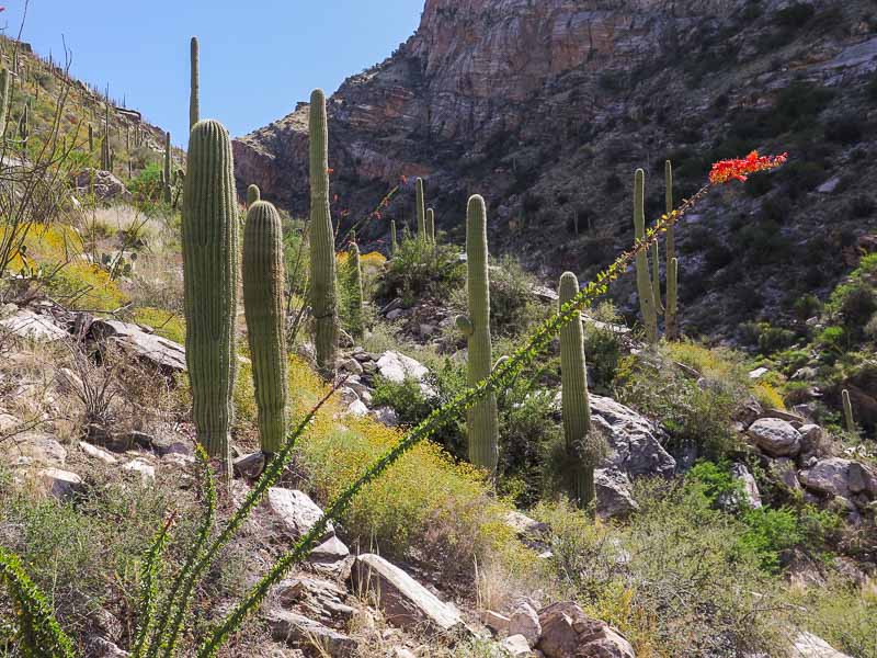
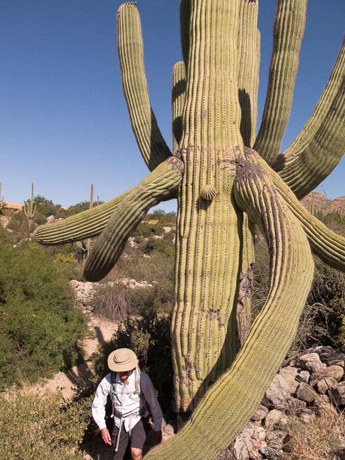
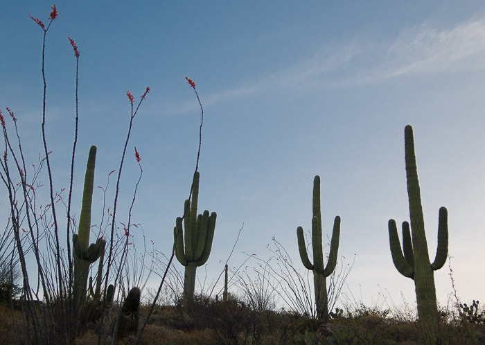
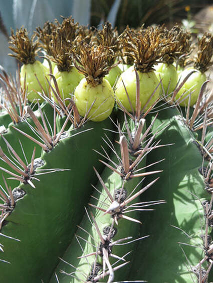
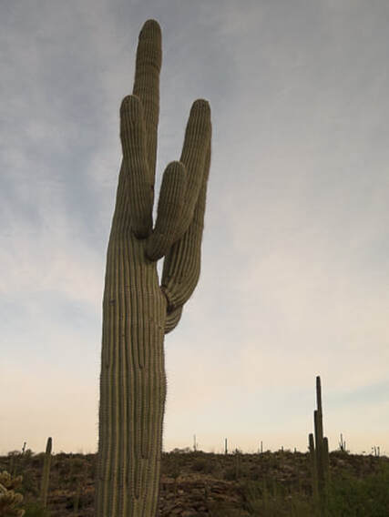
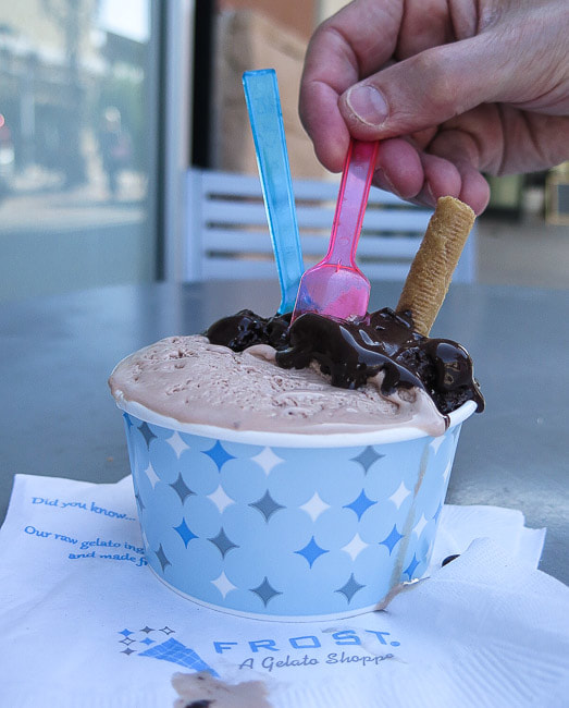
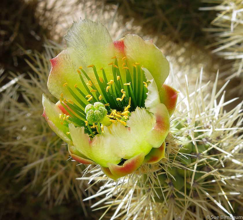
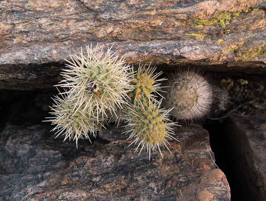
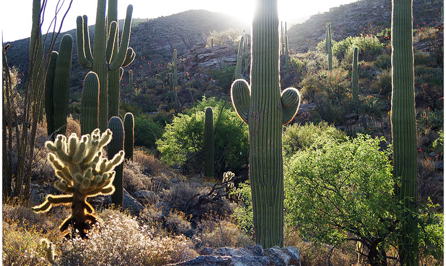
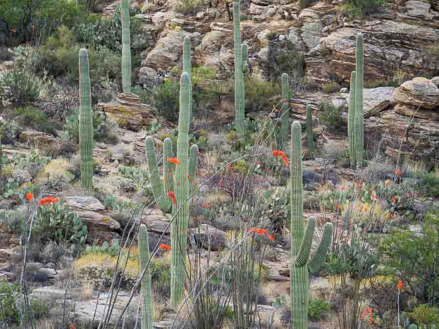
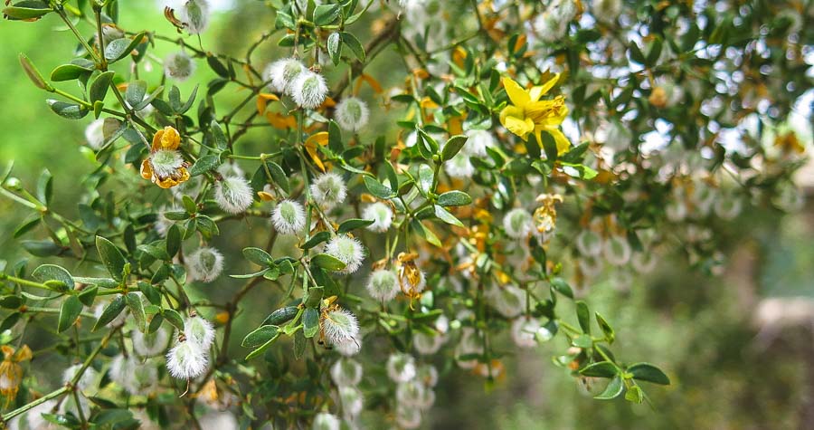
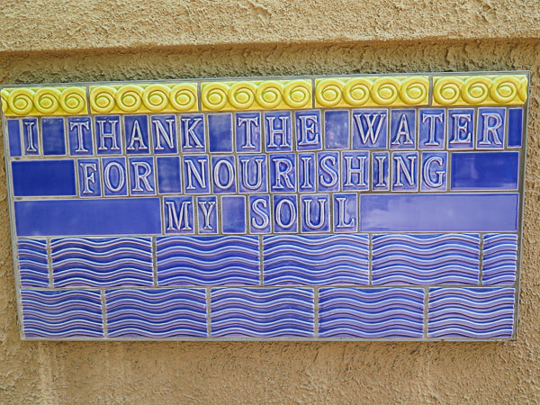
Our "get out of the cold and get to the desert" 4-day sojourn to the rugged and rocky trails of the Santa Catalina Mountains in Tucson, Arizona. We don't mind the Frost gelatos, either. Day 1: Pima Canyon warm-up hike - 8 miles, 2,000 foot gain Day 2: Finger Rock Canyon Trail to Mt. Kimball - 10.2 miles, 4,138 foot gain Day 3: Tanque Verde Ridge Trail to Juniper Springs, Saguaro National Park, Rincon Mountain District - 14 miles, 3,000' gain Day 4: Pontatoc Canyon, 7.4 miles, 2,000 foot gain Finger Rock (left skyline) and Mt. Kimball (forested peak) from Finger Rock Canyon, Tucson After the dust settled and Fred had recovered himself from skidding down the steep bank on the Finger Rock Canyon Trail, I found myself face to face with a coiled and ugly-looking rattlesnake, it's rattling causing me to stop dead in my tracks. First on the trail down, Fred had jumped away from the snake's warnings which caused me to run forward, thinking Fred was falling off the trail. But instead, he yelled, "Stop!". My first thought was how clever this snake was, its coloring the very same as the vegetation it lived in. Afraid that it might strike, I stood frozen, carefully getting my camera ready. As we stood gawking, the rattlesnake was finally satisfied we were no longer a threat, so it slowly uncoiled and moved away. What kind of rattlesnake was that? When I consult the "Rattlesnake Poster" on the Arizona Game and Fish Department's website, it looks most like the Mohave Rattlesnake, "widely considered the most toxic rattlesnake in the U.S.". Or, it could be the Western Diamond-backed Rattlesnake. Anybody out there who knows which rattlesnake this is, let me know! Pontatoc Canyon, Pusch Ridge Wilderness, Tucson The rocky terrain of the Santa Catalina Mountains makes Tucson hikes tough and challenging. A 4,000 foot climb in New Hampshire, for instance, takes less toll on my legs than the schist and gneiss steps of the Finger Rock Trail. During the 4,000 foot climb up Finger Rock Canyon to Mt. Kimball, you will experience several life zones, starting at low desert zone with its brittle bush, saguaros and ocotillos. Vegetation dramatically changes as you top off at Mt. Kimball with Pinyon pines, manzanita shrubs, alligator junipers, and oak being dominant. The first mile of the trail is relatively flat, then switchbacks up to traverse along the east side of Finger Rock Canyon to Linda Vista saddle. From there, the trail rises more steeply, and is especially demanding near the junction with Pima Canyon Trail #62. There are a fair amount of people on the trail during the first 2 or 3 miles, but few make it all the way to the top. We like to do a "warm-up" hike the day before in one of the other Pusch Ridge Wilderness canyons so we can get our legs ready for the climb. A little bit of training beforehand and plenty of water makes this spectacular hike even more enjoyable. Another advantage of Tucson hiking, besides the spectacular beauty of the Santa Catalina canyons, is the reward of a Frost gelato after a grueling hike. I wonder if we could get a Frost Gelato Shoppe in Boise? Silver Cholla Cylindropuntia echinocarpa El Presidio Historic District, Tucson, Arizona Saguaro National Park East Creosote bush at Tucson Botanical Gardens Tile plaque at the Tucson Botanical Gardens
1 Comment
|
Categories
All
About this blogExploration documentaries – "explorumentaries" list trip stats and highlights of each hike or bike ride, often with some interesting history or geology. Years ago, I wrote these for friends and family to let them know what my husband, Fred and I were up to on weekends, and also to showcase the incredible land of the west.
To Subscribe to Explorumentary adventure blog and receive new posts by email:Happy Summer!
About the Author
|
