|
This short hike to the fifth most prominent peak in Nevada rewards you with solitude and a dramatic view of Wheeler Peak and eastern Great Basin mountain ranges and valleys.
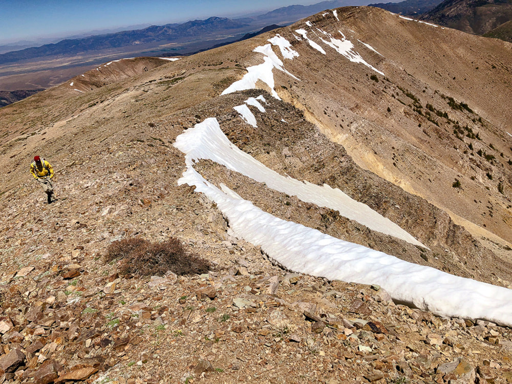
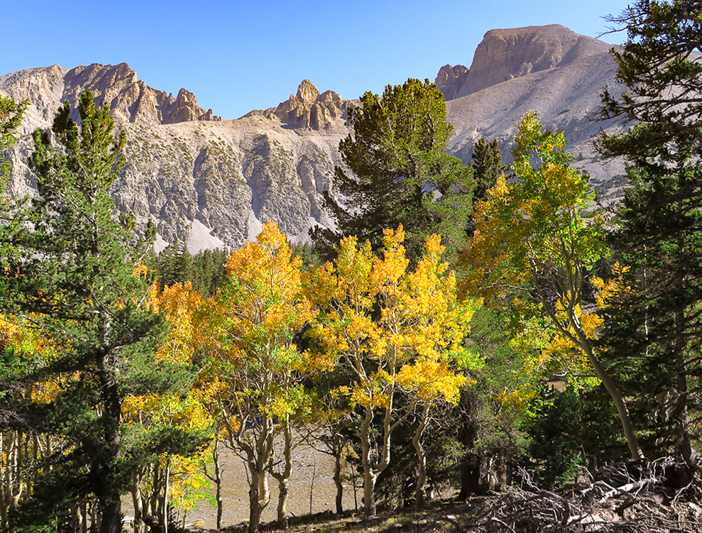
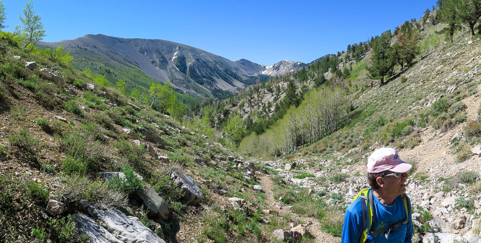
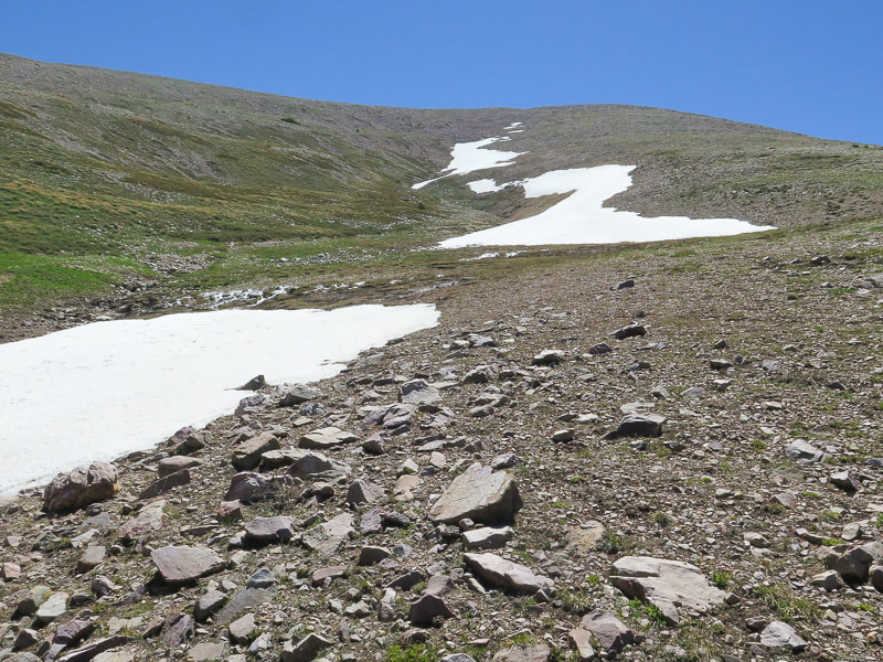
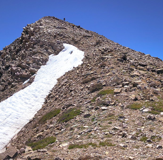
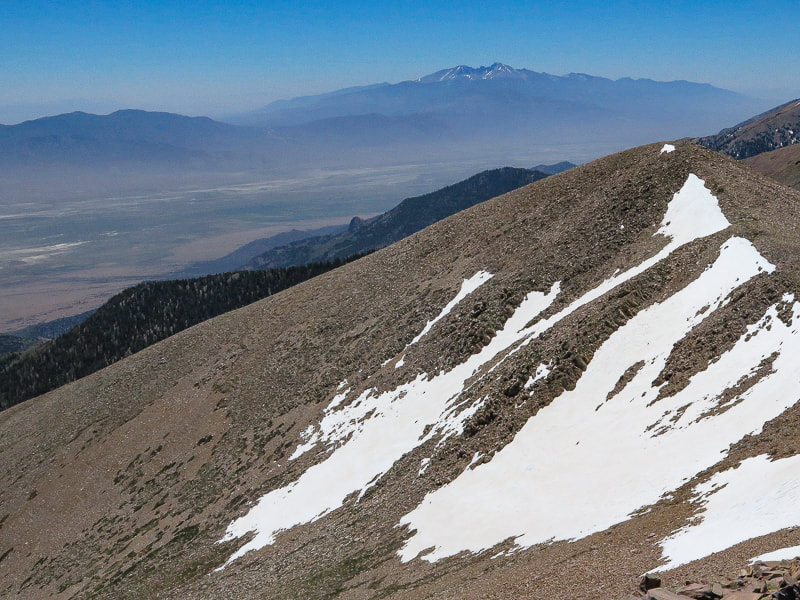
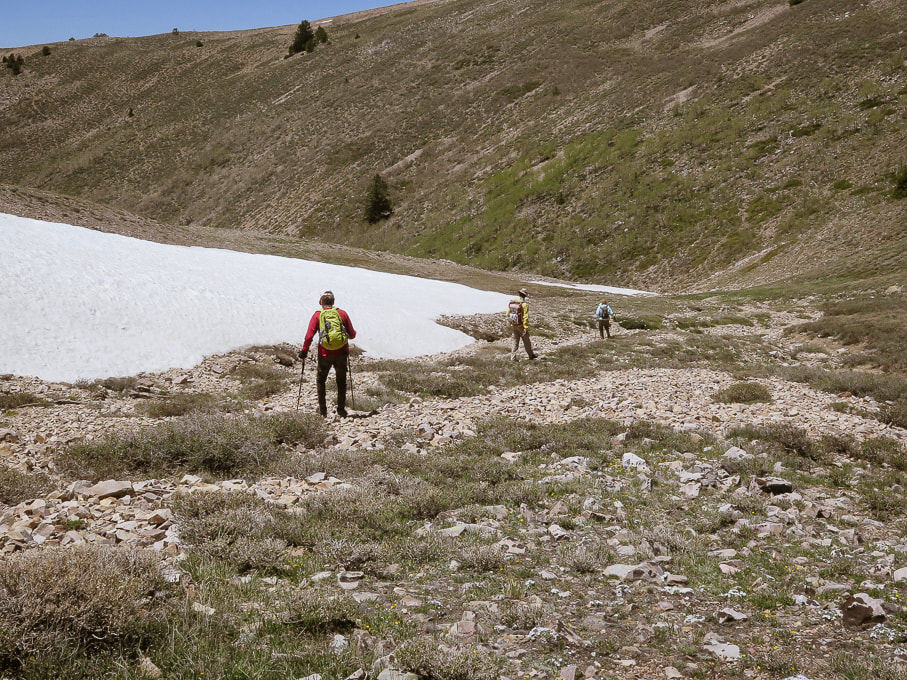
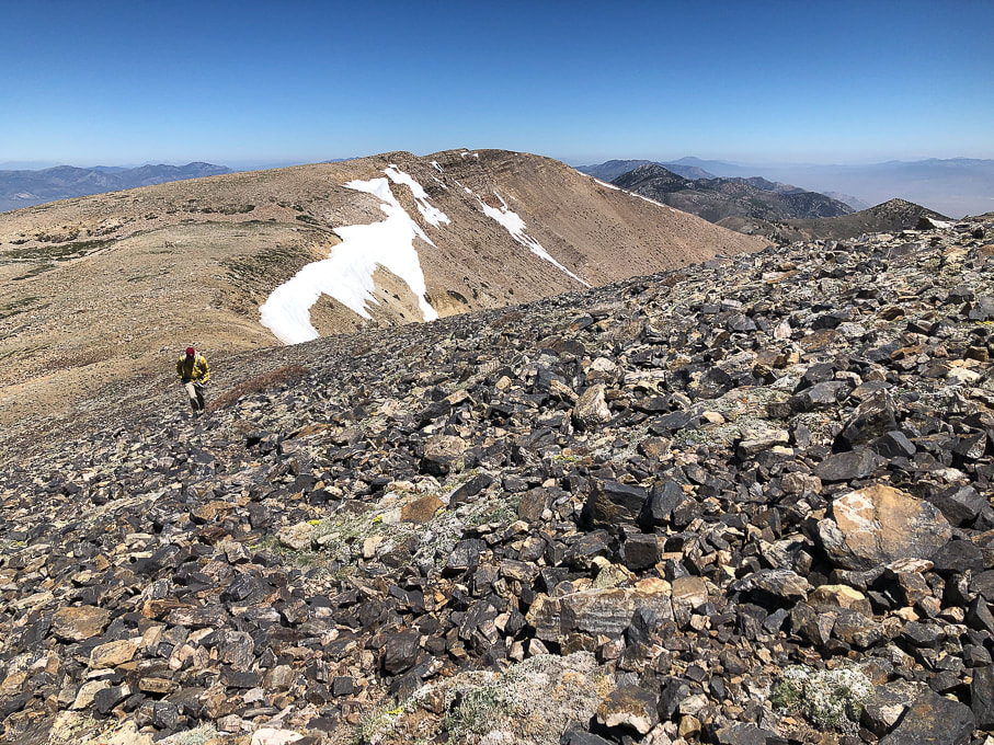
Approaching Schell Creek Range summit ridge just under North Schell Peak.
Trailhead directions from Summitpost.org: From Ely, drive north on US 93 to McGill. From McGill, drive north on US 93 about five more miles, then turn right onto NV 486. Drive east on NV 486 through the Gallagher Gap, then south through a valley. After about eight miles, turn left onto the signed Forest Road 425 to Timber Creek. Drive east on Forest Road 425 about four miles to the Timber Creek Campground. The road is blocked off a short distance past the campground.
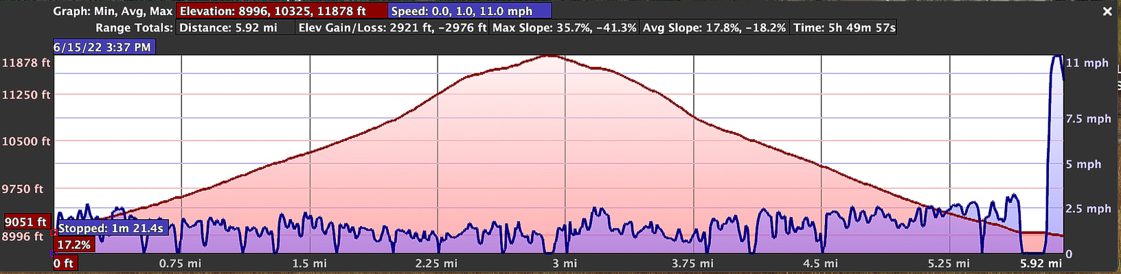
Difficulty: Moderate Class 1-2 on discernible but unmarked trail; scrambling and easy route-finding on firm talus. Coordinates: Trailhead = 39.40025 -114.61907. Summit = 39.41332 -114.59959. Maps and Apps: (see our tracks below). Avenza High Schells Wilderness, Humboldt-Toiyabe Wilderness - USFS, Stav Is Lost's hike description, USGS topo map Date Hiked: June 15, 2022.
Related Posts:
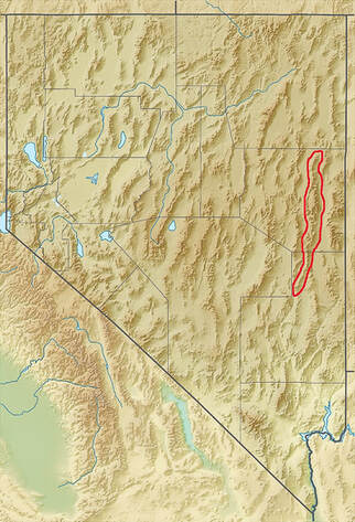
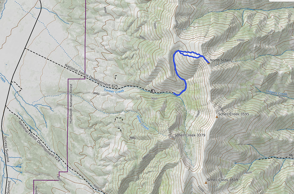
Our GPS tracks for 6.2 miles out and back to North Schell Peak.
Nevada is a remarkable state for many reasons - Las Vegas is the "Entertainment Capital of the World", and Elko sponsors the National Cowboy Poetry Gathering. It also contains the most mountains of any state, most arranged in long parallel north/south trending ranges, with low valleys in between. The forces that made the earth spread starting 50 million years ago produced normal faults that formed horsts and grabens, making parallel valleys and raising mountains so we can hike them today. This spreading and faulting has doubled the width of Nevada in those millions of years.
Our Hike
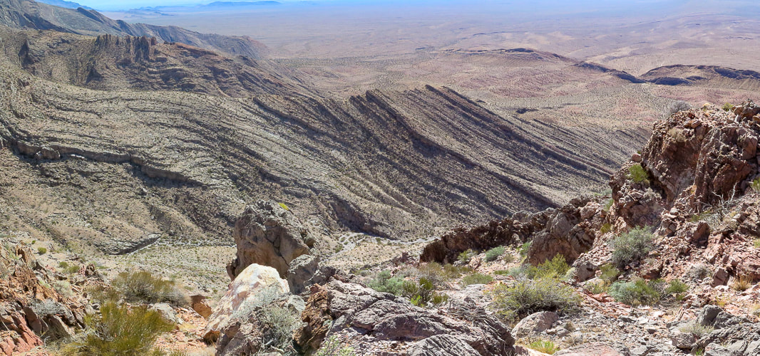
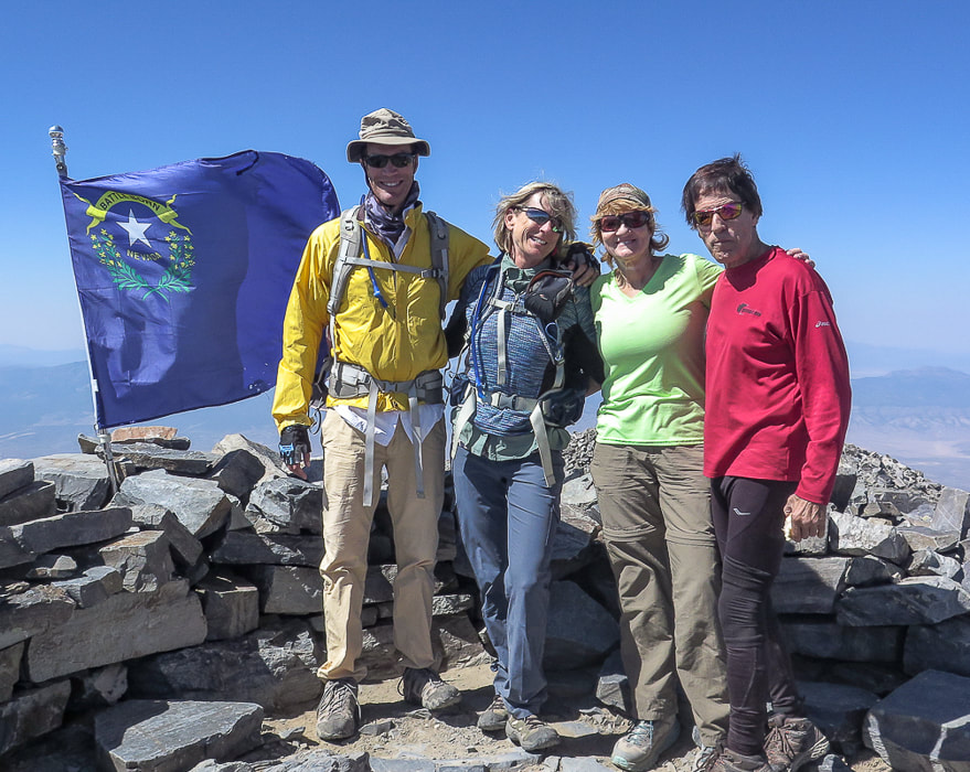
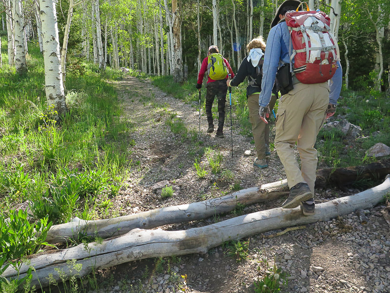
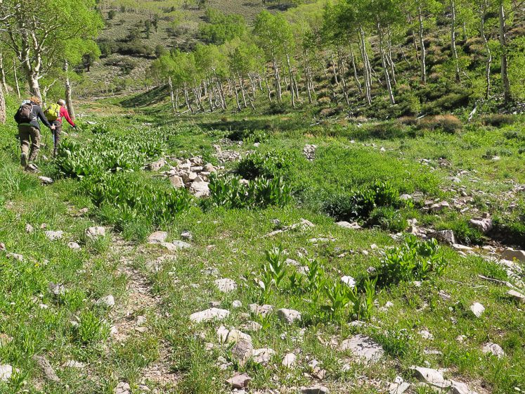
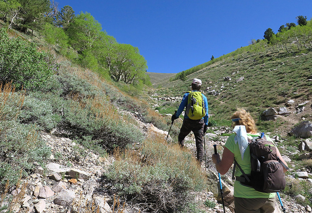
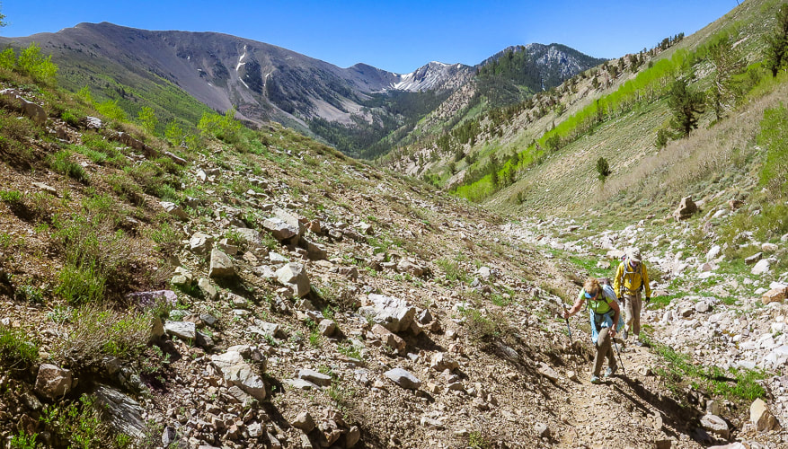
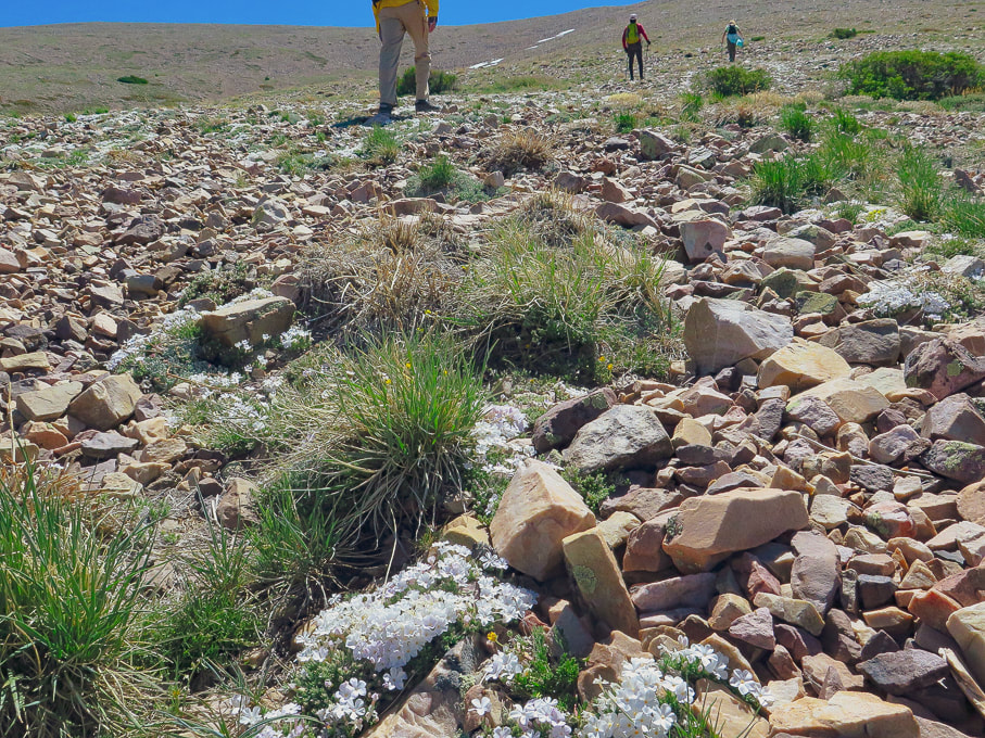
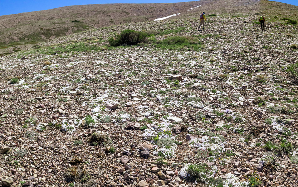
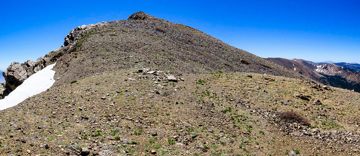
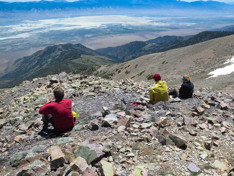
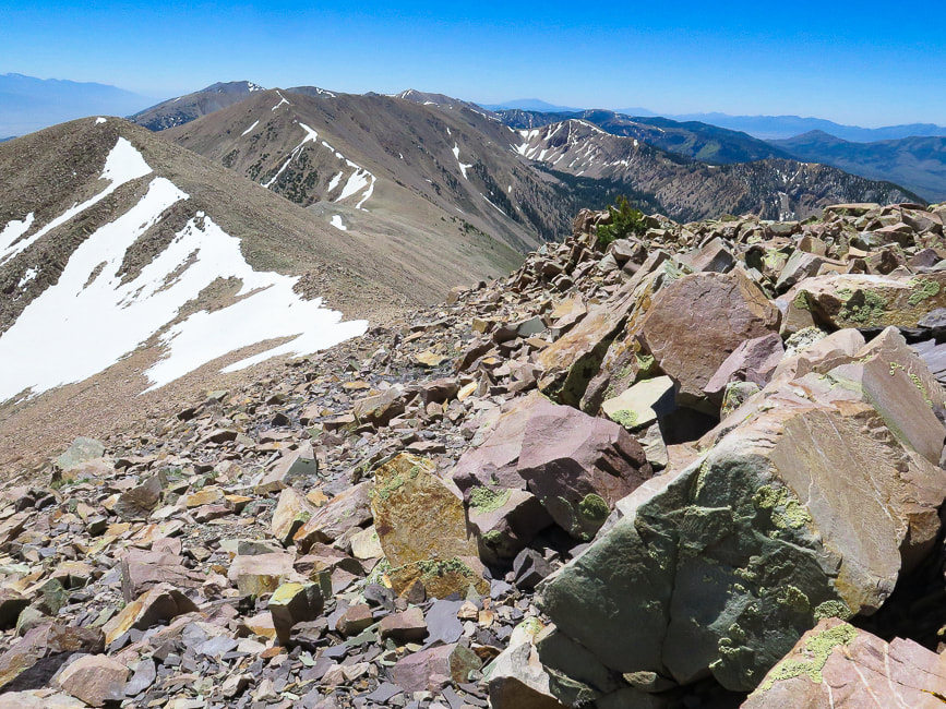
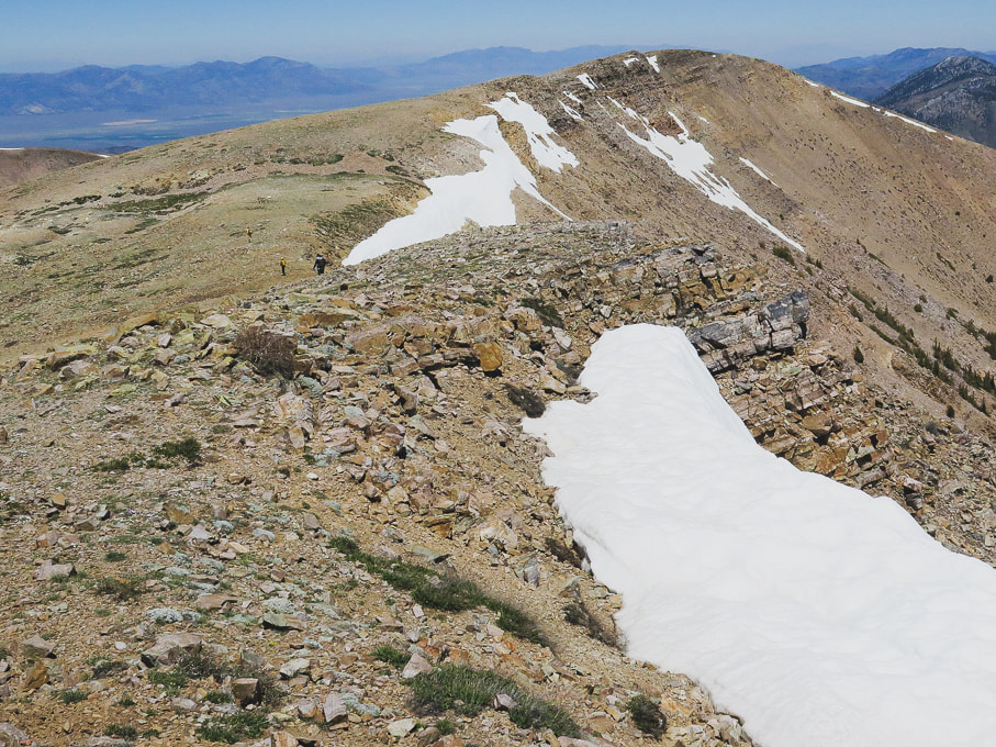
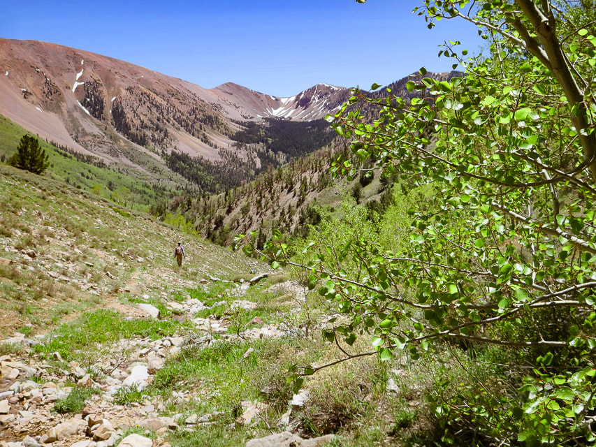
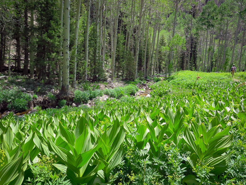
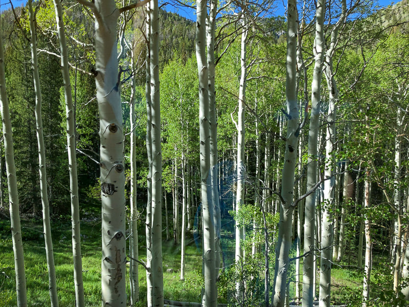
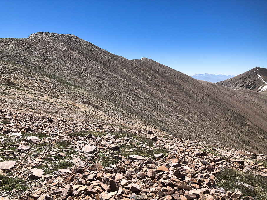
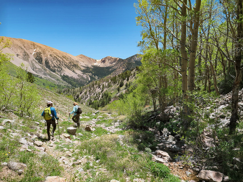
After an early morning drive from Ely to the south, we passed a few primitive campgrounds along the good forest road whose end is the trailhead and a brown kiosk signboard. Start walking on the road after parking. It turns north (left) into a discernible path that ascends an aspen-forested valley and stays near the stream, crossing it a few times. The aspen forest opens to the head of this creek and North Schell's western talus/grass slopes. The trail, not marked is easy to follow. Once we got to the head of the creek and the end of the dirt path, we took the steeper, rockier and shorter way to Schell Creek ridge, taking more of an acute right-hand turn heading east/southeast than we needed to. When we descended, we stayed further north, following the grassy areas as much as we could just under the ridge to avoid the prolonged talus slopes (see map of our tracks, below). The talus slope was filled with patches of abundant and robust wildflowers - mats of phlox and buckwheat. We headed to the saddle left (north) of the dark North Schell summit and encountered freezing winds which required a slight wardrobe change into windbreakers and warmer hats (or no hats!). A short walk on the ridge brought us to the summit block. When we reached the summit, walking on a path through the rocks, wind was no longer a problem. We identified Wheeler Peak in the Snake Range - the next parallel range to the southeast. The Schell Creek range ridge south to the next high points - one of them Middle Schell Peak, looked inviting; follow it and you can walk on top of eastern Nevada for a few more miles! The eye-catching view on the way down is that of the cirque above the headwaters of Timber Creek to the south. Its U-shaped valley and the peaks above it look inviting. We passed a few small snow patches in the grass/talus and then easily located the path along the creek to head back to the trailhead. Val and John are training for Mt. Idaho, Idaho's seventh tallest peak. Fred and I just hiked Mt. Nebo, the highest peak in Utah's Wasatch range. Maybe we go a little bit slower than the 20-somethings, but we can get to the "top of the world" and savor it, if just for a few moments.
"The greatest danger in life is not to take the adventure."
- George Mallory, took part in the first three British expeditions to Mt. Everest in the 1920's.
Never Stop Climbing Mountains! Keep On Exploring!
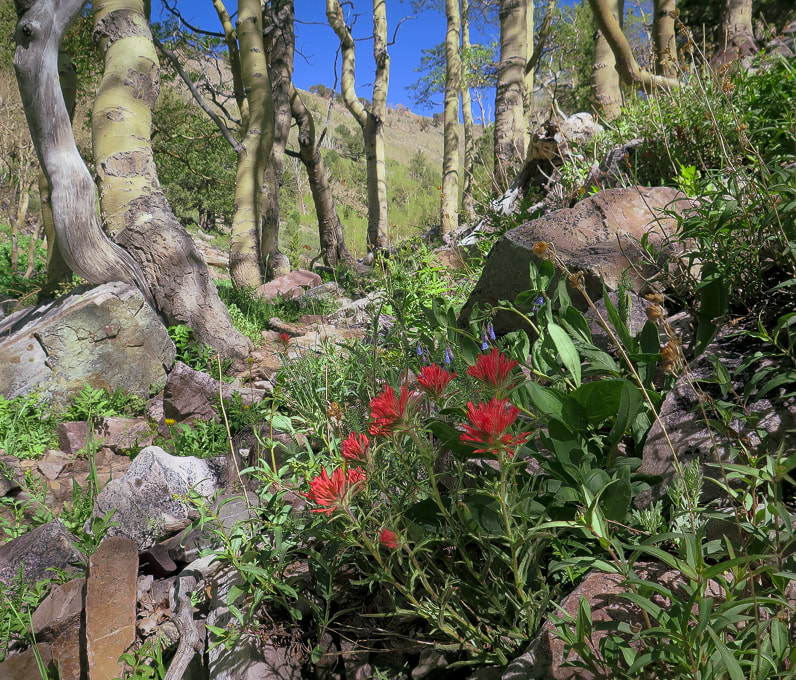

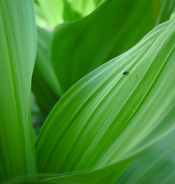
Low-profile and abundant wildflower gardens - phlox and buckwheat.
Fred approaching summit.
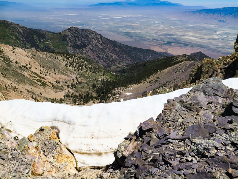
Looking at North Schell Peak from under its saddle.
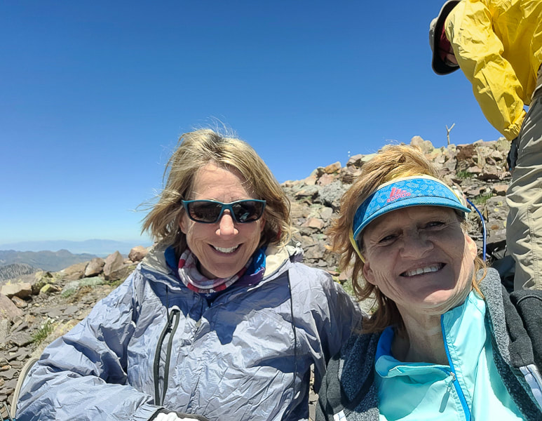
Summit celebration!
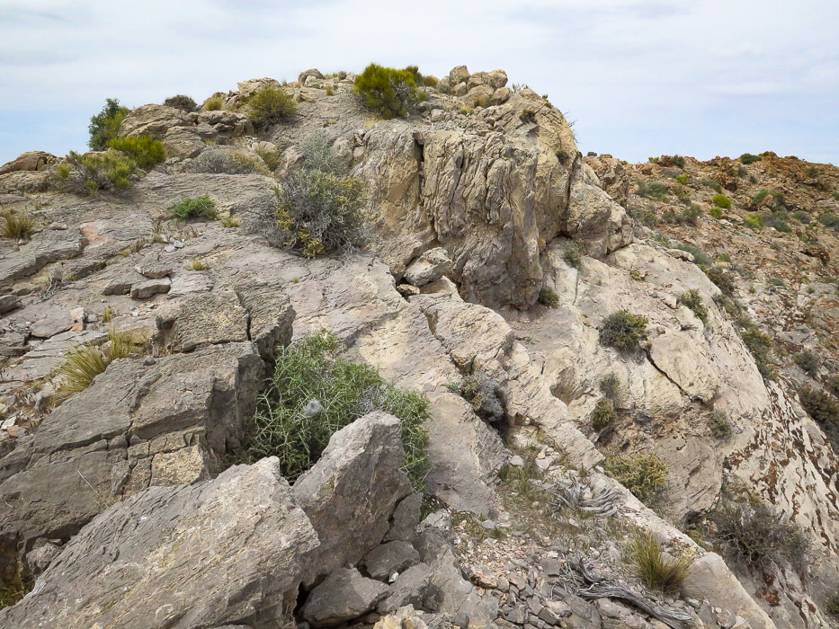
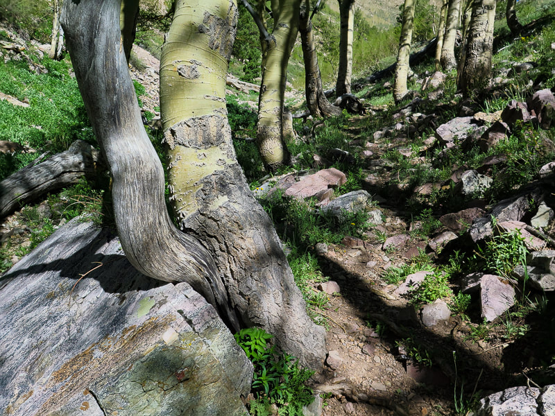
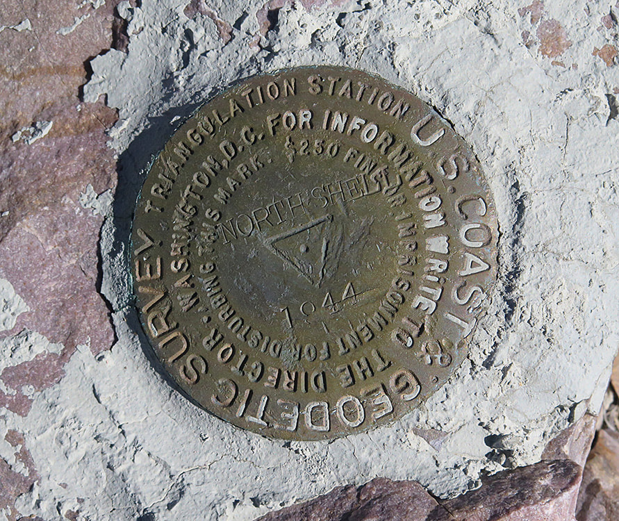
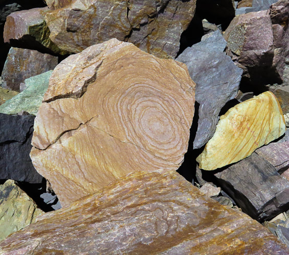
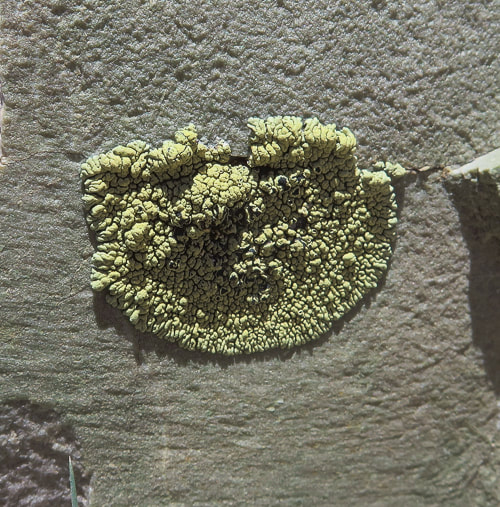
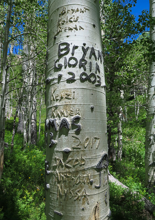
Some cool stuff on the trail.
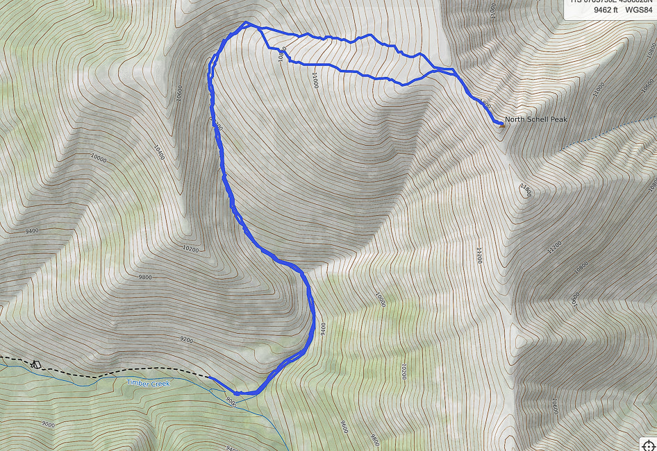
Our GPS tracks from trailhead (south) to North Schell Peak. The southern-most route was our ascent. The northern route was our descent; it avoided much of the continuous talus we encountered on our ascent.
2 Comments
Maria Keezer
7/19/2022 01:03:59 pm
Another one in the books.... You guys are hiking fools...haha
Hi Maria! Leave a Reply. |
Categories
All

Sue and Fred

About this blogExploration documentaries – "explorumentaries" list trip stats and highlights of each hike or bike ride, often with some interesting history or geology. Years ago, I wrote these for friends and family to let them know what my husband, Fred and I were up to on weekends, and also to showcase the incredible land of the west.
To Subscribe to Explorumentary adventure blog and receive new posts by email:
Happy Summer!

About the Author
|