|
Making images in the photogenic northern Mojave Desert and a quick hike up Little Virgin Peak.
Related Posts:
We returned to Gold Butte National Monument, about an hour's drive from Las Vegas to explore, hike and photograph this land of meandering gravel roads leading to petroglyphs, weirdly-shaped sandstone spires, old mines, and thrusting sandstone domes. Just a month ago, we hiked Virgin Peak summit, the highest in Gold Butte, on an enjoyable fossil-filled ridge.
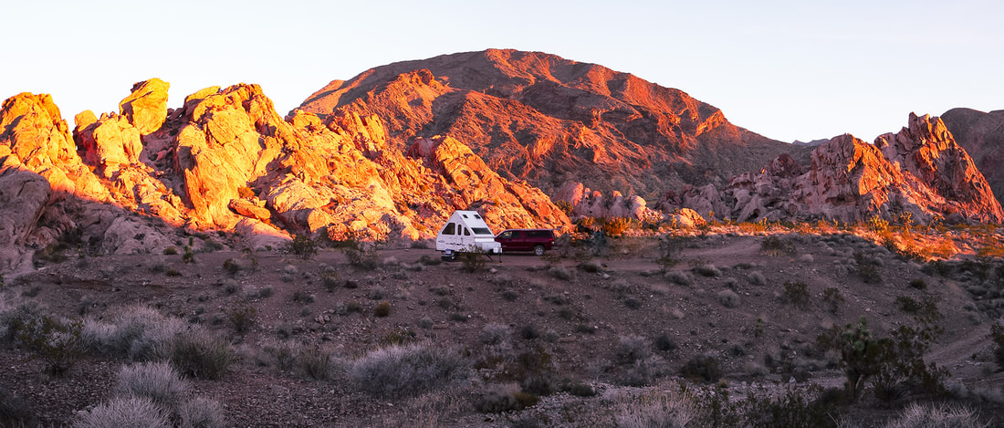
We scored a hidden campsite in Whitney Pocket perched at the end of a platform above a rocky wash on one side and a rough gravel road marked "designated route" on the other. One night we heard an animal walk around our trailer, maybe a deer. The night sky was illuminated by the milky way as well as a weird glow from distant Las Vegas. Gold Butte and recreational side-by-side ATV's make the perfect match. We saw a few large "jamborees" of riders churning through sand and gravel and meeting up at the end of the day to re-fill their deflated tires. While searching out the petroglyphs on the way to Little Finland, not one, not two, but about 15 open ATV's buzzed by us, their dust cloud giving away their whereabouts after vanishing behind a bend. These folks are outfitted with all of the necessary off-road devices: multiple navigational aids and emergency personal locators. On the summit of Little Virgin Peak, we watched another caravan buzzing down the road like ants leading to Lake Mead. This activity looks fun, but I will stick to using my legs and breathing fresh air. The images in my hike descriptions are what I call "photography on the run", where we are moving along and I usually don't have much time to plan or compose my photos. On this trip, however, I had the time in the mornings and evenings, sunrise and sunset, to wander around the beautiful sandstone alcoves and into washes, to take time making images. It is a meditative exercise and a luxury. We wanted to hike Mica Peak, but that meant another 20 miles on slow-going roads, so we saved it for another time. There's so much to see in the American west, Nevada, and this little corner of southeast Nevada.
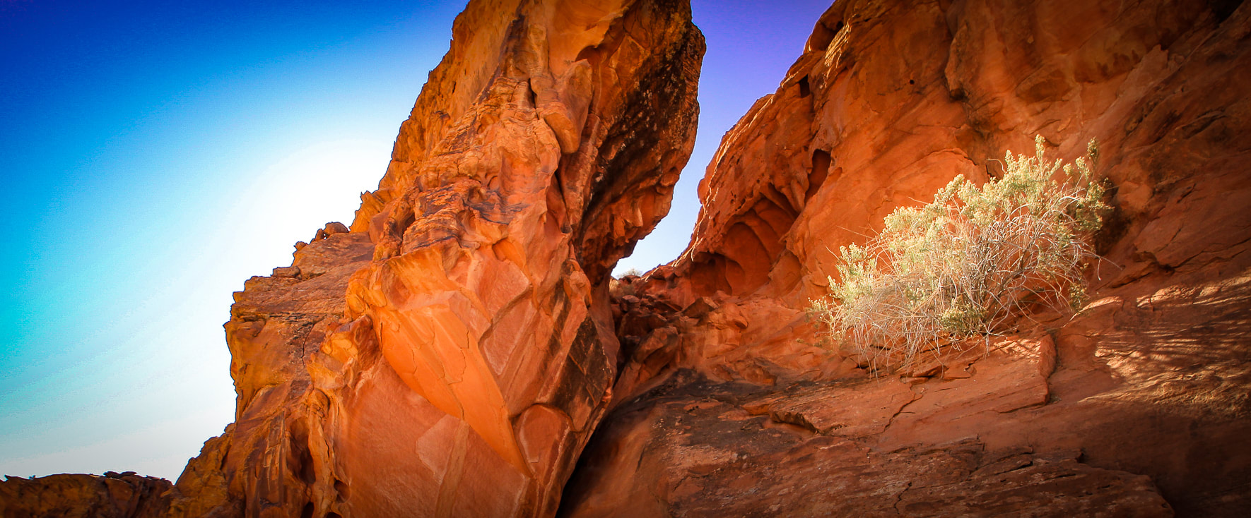
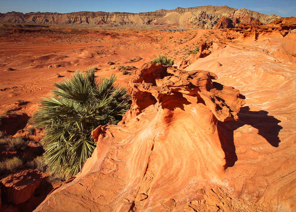
Aztec Sandstone at Whitney Pocket.
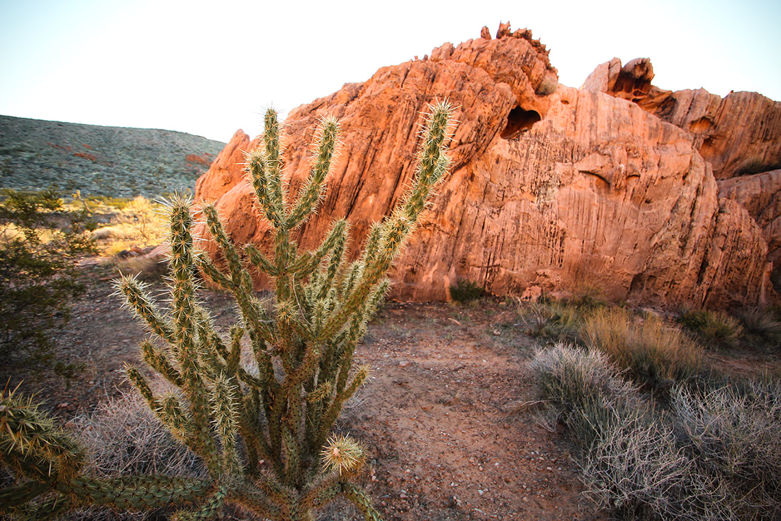
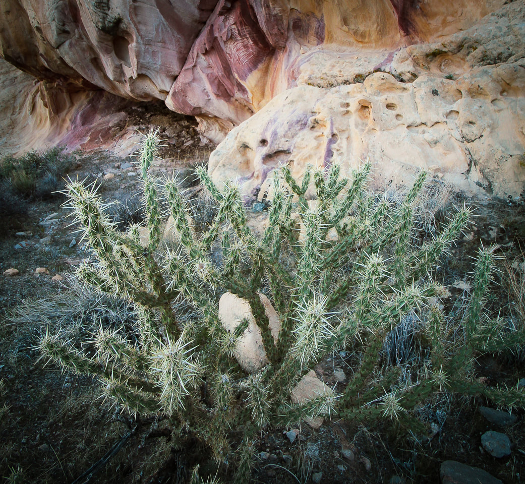
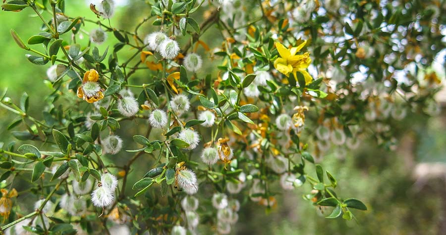
Buckhorn cholla at Whitney Pocket.
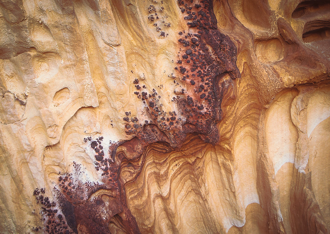
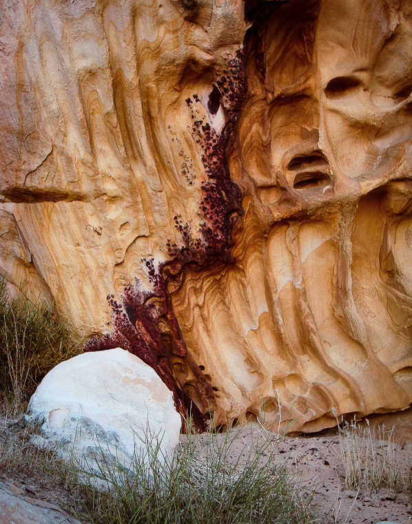
Detail in sandstone at Whitney Pocket
Iron oxide concretions caused by precipitation of iron in paleogroundwater through sandstone.
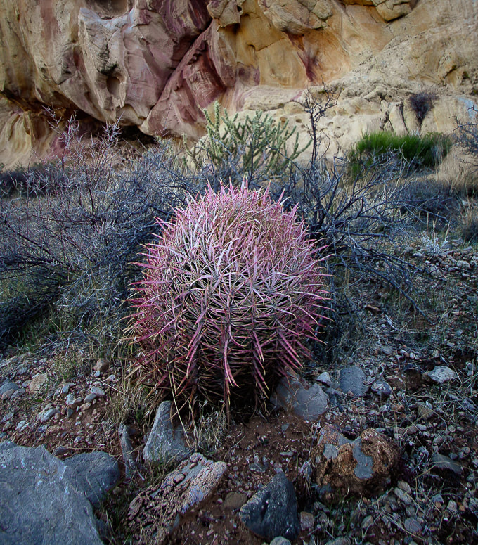
Barrel cactus
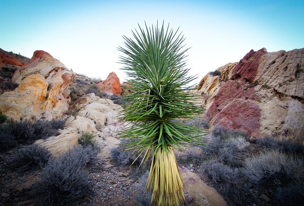
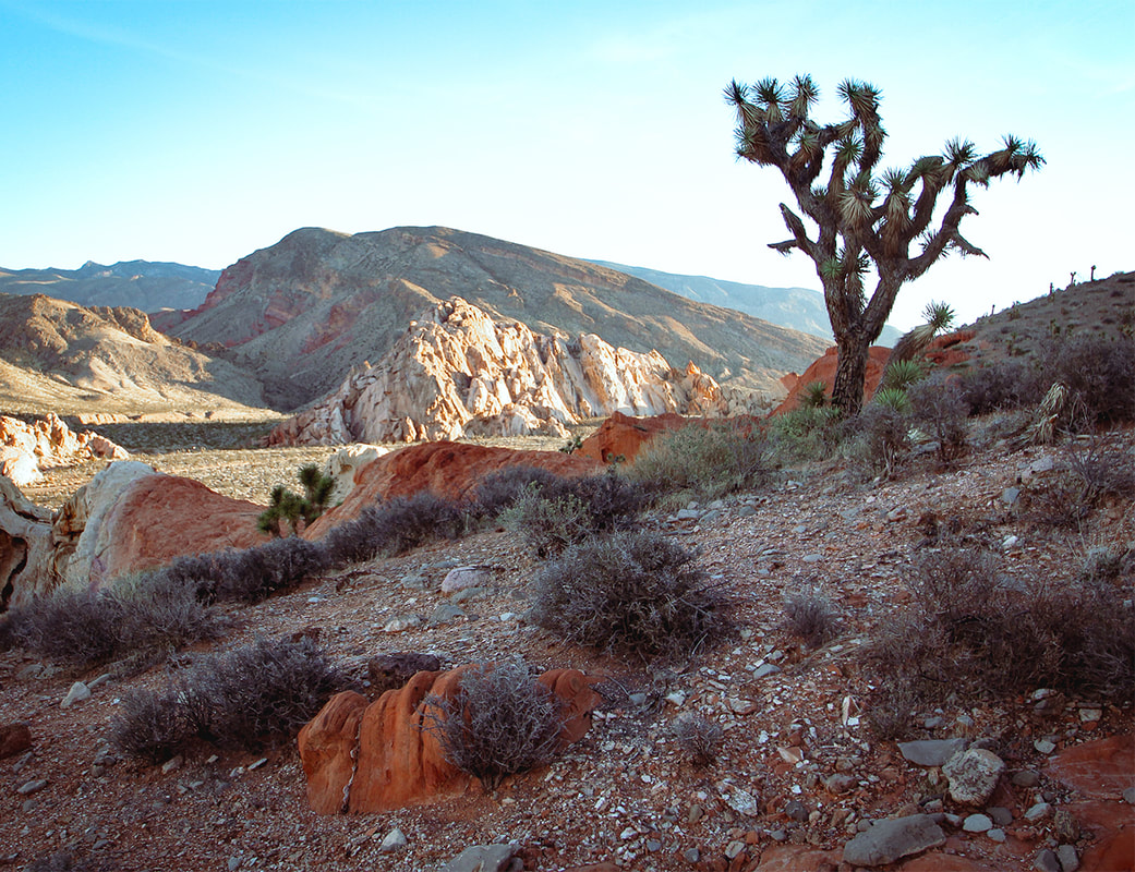
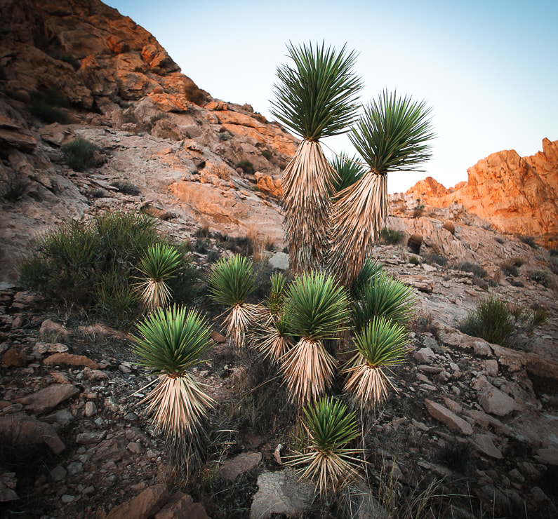
Joshua Tree - a Mojave Desert "indicator" species (a measure of environmental conditions in the Mojave).
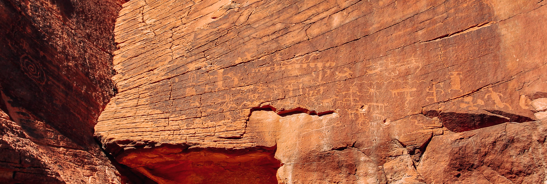
Mud Wash petroglyph panel near Little Finland in Gold Butte National Monument.
Whitney Pocket sunrise.
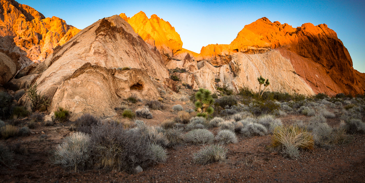
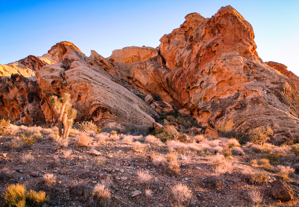
Whitney Pocket - Aztec sandstone at sunset.
Little Finland - a platform of sandstone features eroded into strange and intricate shapes hanging above a palm oasis.
Our own "private Mojave" hidden by Aztec sandstone in Whitney Pocket - at sunrise.
Little Virgin Peak Hike
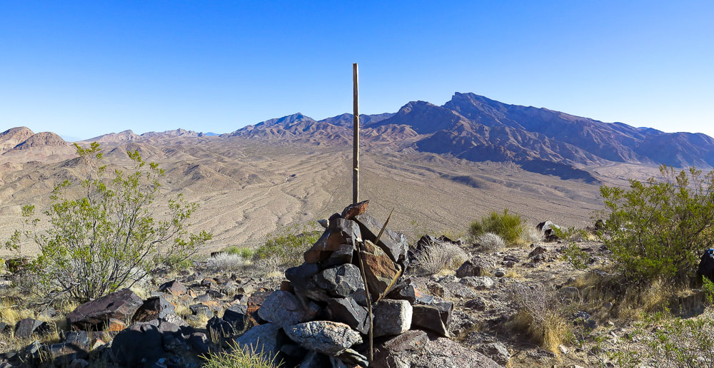
Summit and rock cairn of Little Virgin Peak; Virgin Peak (8,071') on the horizon.
Trip Stats
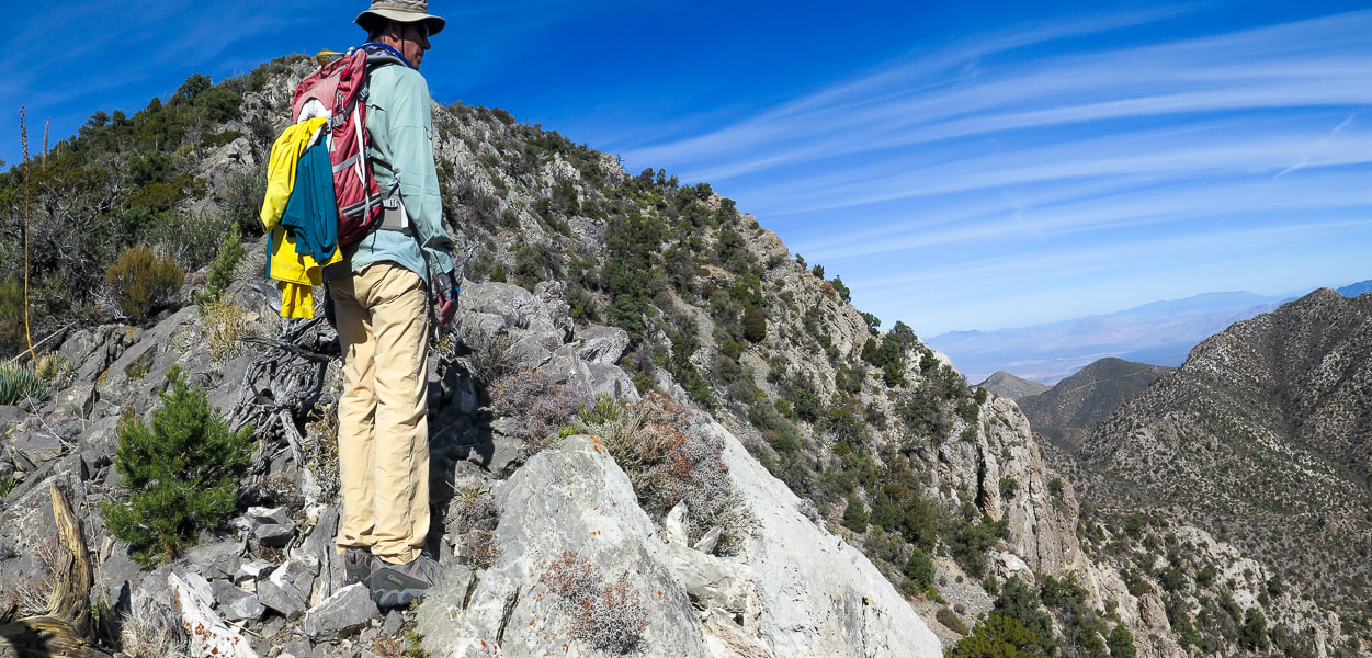
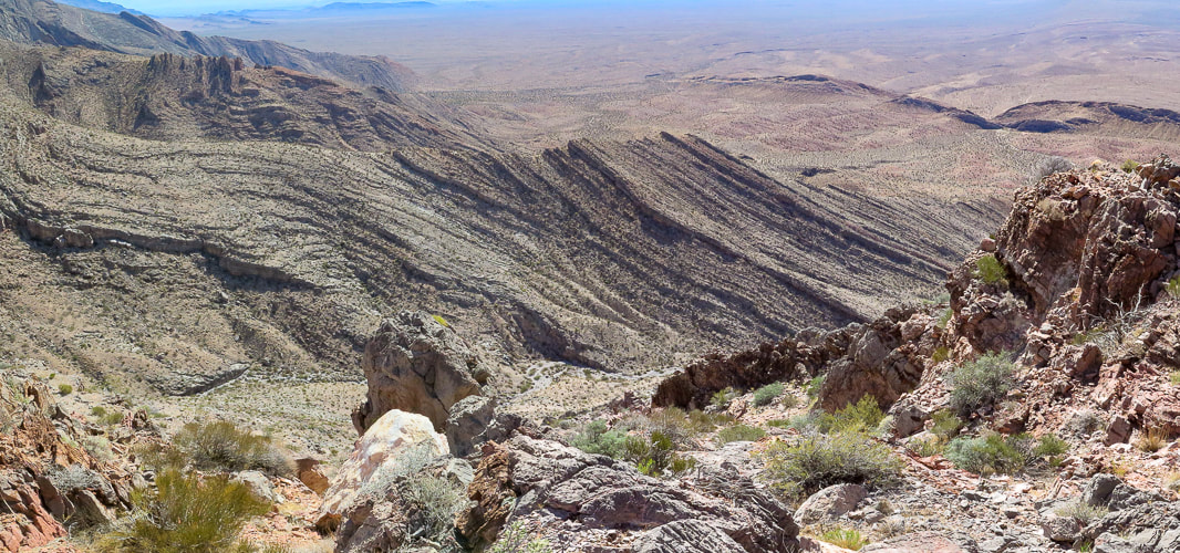
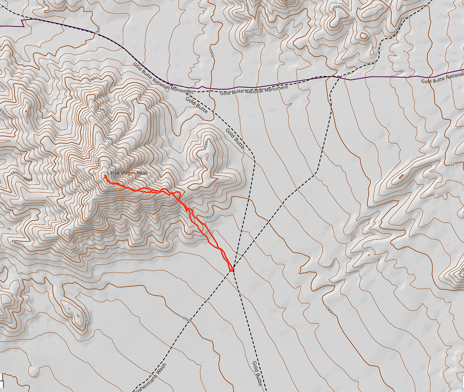
Overview: Little Virgin's mellow southwest ridge is a relatively short and sweet way to get fantastic bird's-eye views of the stark northern Mojave desert filled with alluvial fans, washes and mountains of Gold Butte National Monument and Lake Mead National Recreation Area. Location: Gold Butte National Monument, Southeastern Nevada. Coordinates: Little Virgin summit = (UTM) 11S 0748307E 4054422N. Our trailhead = 0749437E 4053626N. Distance/Elevation gain: 2.2 miles out and back/860' gain. Difficulty: Moderate effort Class 2 scramble on faint trail once on ridge. Permit: None required; no entrance fee to Gold Butte NM. Map: Gold Butte National Monument Area Map by Friends of Gold Butte. Date Hiked: December 4, 2021. Driving Directions: From I-15 north of Las Vegas and just south of Mesquite, Nevada, take exit 112 in Bunkerville, onto Highway 170, traveling 3.5 miles, taking a right onto Gold Butte Backcountry Byway just after crossing Virgin River. Continue on Gold Butte Road about 13.8 miles to the base of Little Virgin on the right. We parked at the intersection of Gold Butte Road and the sandy Fisherman's Cove Road, marked with a sign. Hike Directions: Can use east or south ridge: we hiked up south ridge from intersection of Gold Butte Road and Fisherman's Cove Road. From this intersection, hike up slope to the north to gain Little Virgin's south ridge. Continue on ridge to the summit. There is a faint trail occasionally cairned once on ridge.
Our Hike
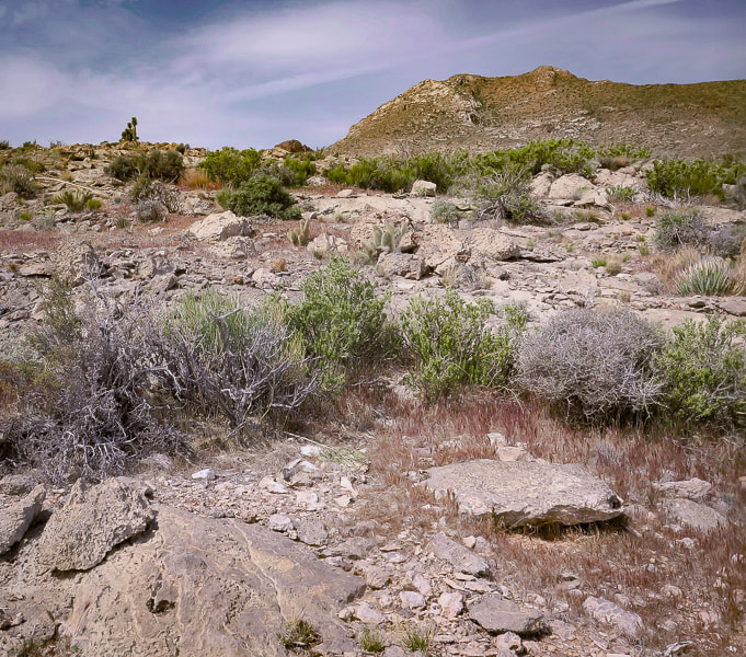
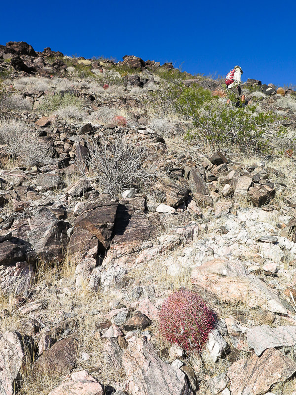
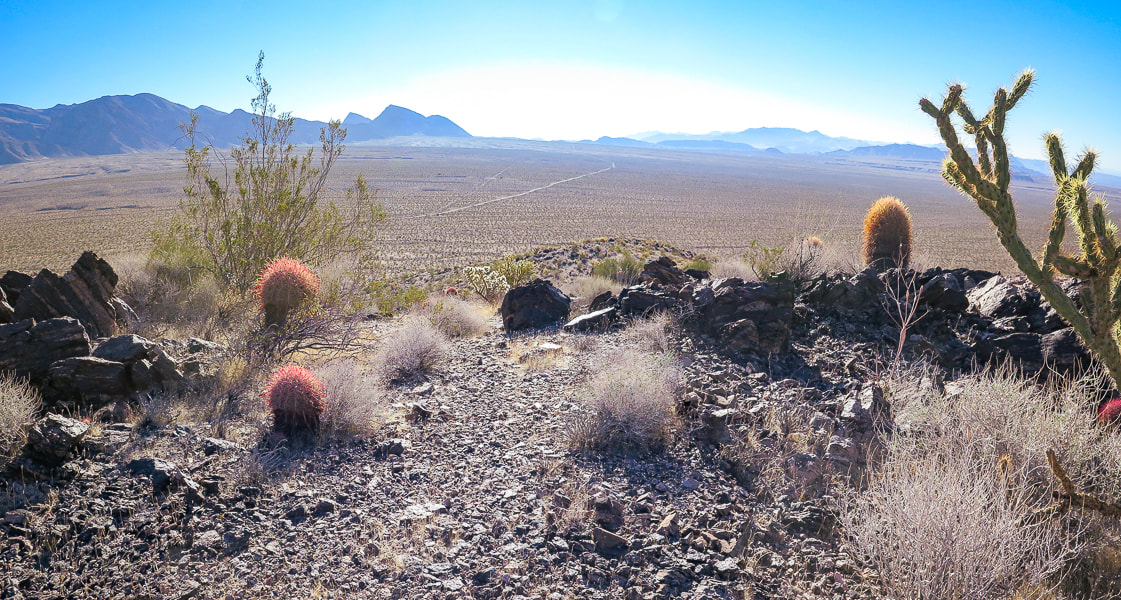
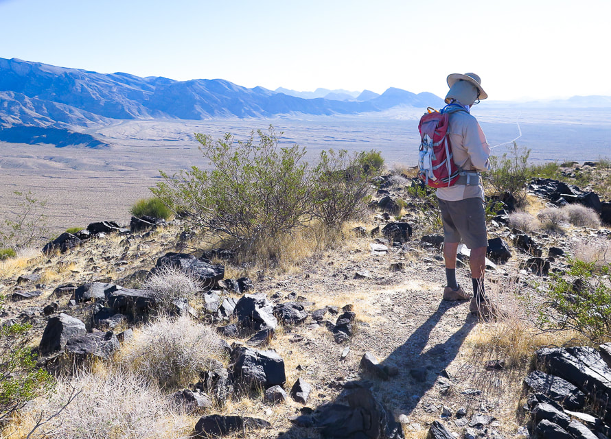
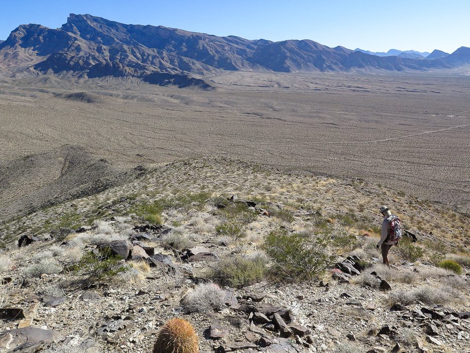
Gold Butte Road passes by Little Virgin Peak on the way to Whitney Point. The hike is short and sweet with great views of alluvial fans and valleys peppered with black, grey and white limestone rocks. The Virgin Mountain range to the east cascades downward from its highest point, Virgin Mountain in a descending series of saddles and rises, its foot embedded into the creosote-filled plains. The geology is vastly different on Virgin versus Little Virgin and the elevation, too (Virgin is 8,071' and Little Virgin is 3,514'). The Mississippian limestone on Virgin Peak's southeast ridge is younger than the schist and gneiss of Little Virgin. To the west, the view looks across Virgin River to Mormon Mesa and other ranges beyond. The east ridge could be hiked for more mileage. The red barrel cacti and green cholla contrast with the chocolate and rust-colored metamorphic rocks (Proterozoic basement rocks - gneiss and schist). We started walking from Gold Butte Road and Fisherman's Cove intersection through a wash at the base of Little Virgin and hiked up the hill to find the ridge. Once on the ridge, it is an easy walk to the summit, following occasional ducks and cairns along the way. The vegetation is healthy, with a few attractive cactus gardens of California barrel cacti (ferocactus) and buckhorn cholla on the ridge, as well as one of my favorite Mojave plants - creosote bush. It is a long-lived desert survivor with a lifespan of roughly 90 years. But the best attribute of creosote comes to life after a rain. Water penetrates the creosote leaves' waxy coatings to produce the wonderful smell of the Mojave desert. It was used by Native Americans to treat a variety of diseases and as an antiseptic. If you are lucky enough to stay at Whitney Pocket in Gold Butte and want a quick adventure, you won't be disappointed with Little Virgin Peak. Once again, as with every hike, we affirm our fortune of having the health, the legs and lungs, to get to these extraordinary places.
Creosote bush
larrea tridentata
Heading up flank of south ridge.
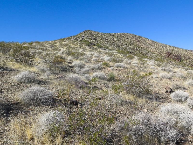
View of summit
Barrel cactus and buckhorn cholla, metamorphic rock. View to the southeast of Gold Butte Road and Virgin Mountains on the left.
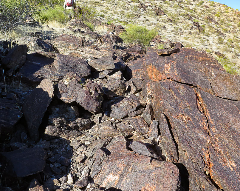
Small "duck" on rock at right to mark trail on ridge.
Summit of LIttle Virgin Peak, looking at Virgin Mountains.
Descending down south ridge to intersection of Gold Butte Road and Fisherman's Cove Road. Virgin Peak highest point on ridge left horizon.
Our GPS tracks to Little Virgin Peak from intersection of Gold Butte Road and Fisherman's Cove Road.
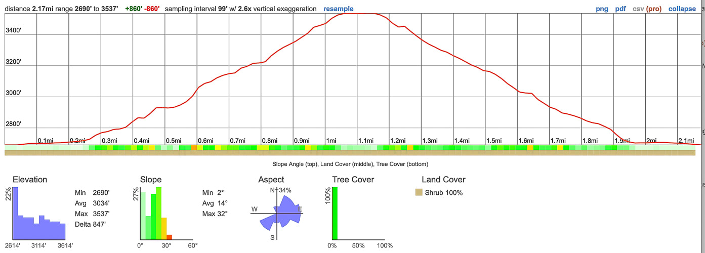
Elevation gain and mileage profile: 1.1 mile from road to summit - 850 feet gain.
References
Gardner, L. The Vegetation of the Mojave and Colorado Deserts. Nevada geology maps. Nevada Bureau of Mines and Geology. pitchstonewaters.com. Creosote Bush: An Unassuming But Ancient Form of Life All Around Us
2 Comments
|
Categories
All
About this blogExploration documentaries – "explorumentaries" list trip stats and highlights of each hike or bike ride, often with some interesting history or geology. Years ago, I wrote these for friends and family to let them know what my husband, Fred and I were up to on weekends, and also to showcase the incredible land of the west.
To Subscribe to Explorumentary adventure blog and receive new posts by email:Happy Summer!
About the Author
|
