|
When temperatures soar in St. George, Utah, head up to the Pine Valley Mountains to hike along Forsyth Creek in a cool, beautiful forest of mature aspens. At the top look over Southern Utah and Arizona mountains. Trip Stats
Location: Pine Valley Mountain Wilderness, Dixie National Forest, near St. George, Utah Distance/Elevation gain: 12.8 miles out and back/3,670'. Trailhead = 6,650', Summit = 10,320' Difficulty: Moderate - Strenuous Class 1 on Forsyth trail for 4.5 miles, Class 1 strenuous on Summit Trail; Class 2 on short spur trail to Burger Peak. Dates Hiked: May 28, 2020, July 29, 2023, June 9, 2024. Trails: Forsyth Trail #31012 to Summit Trail #31021. Maps and Apps: Trails Illustrated #702: Cedar Mtn/Pine Valley Mtn - Dixie National Forest, Utah. Note: AllTrails tracks for "Forsyth Trail to Burger Peak" go only to lookout on Summit Trail, not all the way to Burger Peak summit, which is ~ 0.25-0.3 miles from lookout. Coordinates: Forsyth Canyon Trailhead = 37.3836 -113.5068. Burger Peak = 37.3248 -113.5016 Considerations: Creek crossings shallow in late May; snow bank negotiation in shaded western-facing slopes. No permits, dogs must have strict voice control, preferably on leash. Geology: Pine Valley Mountains form the Pine Valley Laccolith, made of monzonite porphyry (intrusive igneous rock). This dome-shaped laccolith was formed when magma was injected between existing rock layers because an outlet for the magma (vent) had been closed. This is the largest laccolith in the U.S. Lakkos is greek for reservoir, lith = stone. Related
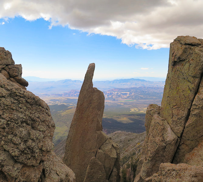
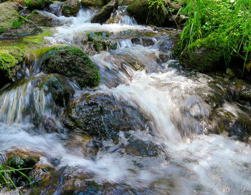
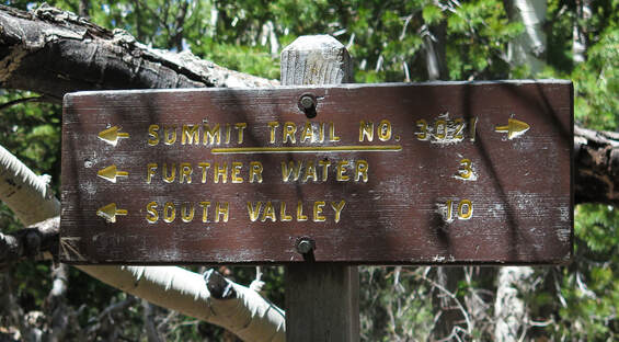
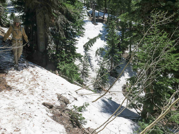
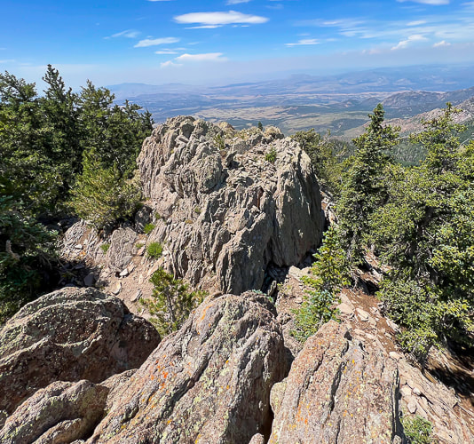
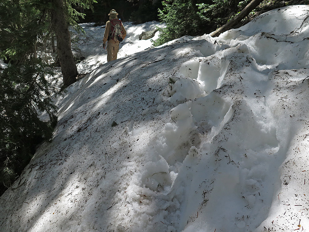
 Click on map for larger image. Take spur trail off of Summit Trail to the northeast for ~ 0.3 miles to actual Burger Peak summit. 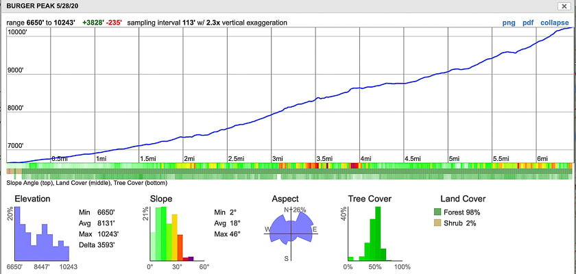 CalTopo map and elevation profile for Burger Peak, Pine Valley Mountain Wilderness, Dixie National Forest, Utah 3,670' elevation gain in 6.4 miles Trailhead in town of Pine Valley to the north, trail heads south to Burger Peak.  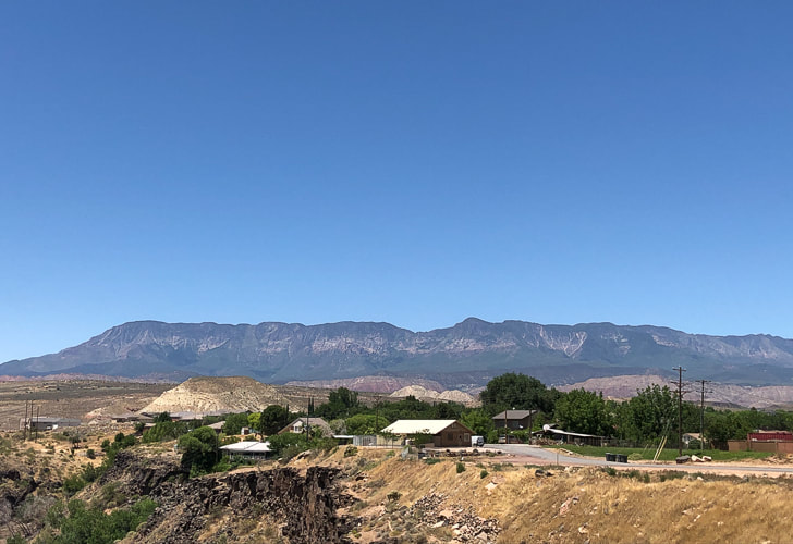 View of southern aspect of Pine Valley Mountains, the largest laccolith in the U.S., from Hurricane, Utah The highest peak is Signal Peak at 10,365 feet. 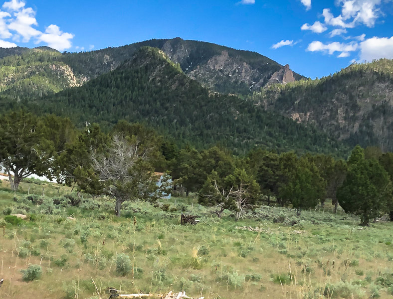 North side of Pine Valley Mountains, from town of Pine Valley, Southern Utah Forsyth trail passes by large crags Our Hike: Forsyth Trail --> Summit Trail #3021--> spur trail to Burger Peak summit Many people consider Southern Utah synonymous with slot canyons and colorful cliffs, hoodoos, and mesas. Its famous national parks - Zion, Bryce and Arches are gems with spectacular scenes. It was hot in St. George, so we headed to the cool Pine Valley Mountain Wilderness, where we summited Burger Peak to see a vast view of the hot desert below. The Pine Valley Mountains are less than an hour's drive north of St. George, and provide the forested backdrop to the little town of Pine Valley. The drive itself is beautiful, as you pass by a huge cinder cone and gorgeous Snow Canyon State Park. We felt lucky to have "stumbled" onto this wilderness, the second-largest in Utah because of the many trail and peak opportunities. It has the most diverse flora of any Utah mountain range, with ~ 1,000 species identified so far, and numerous meadows. We met a backpacker on a separate hike near Whipple Valley who said he had to go "two meadows over" for his first night. He was doing a loop trip using Summit Trail, which treks 35 miles between entry points at Whipple Valley and Forsyth trailhead, up and along highest Pine Valley Mountains ridge. The first mile wanders through large stands of mature Mountain Mahogany and Ponderosa Pines. Stream crossings over Forsyth Creek are easy, with low stream flow. This forest is so unique, because it has such a wide variety of trees. Tree dead fall on the first mile attests to destructive bark beetles that have plagued many forests throughout the west. At mile two, the trail steepens and follows Forsyth Creek as the canyon narrows. It climbs steadily for the next 4.5 miles to the peak; we ran into our first snow bank around 9,000 feet in May. A spur trail heading north from Summit Trail takes you to the peak. The view of Southern Utah from the steep cliffs at this intersection is incredible. Forsyth Creek video 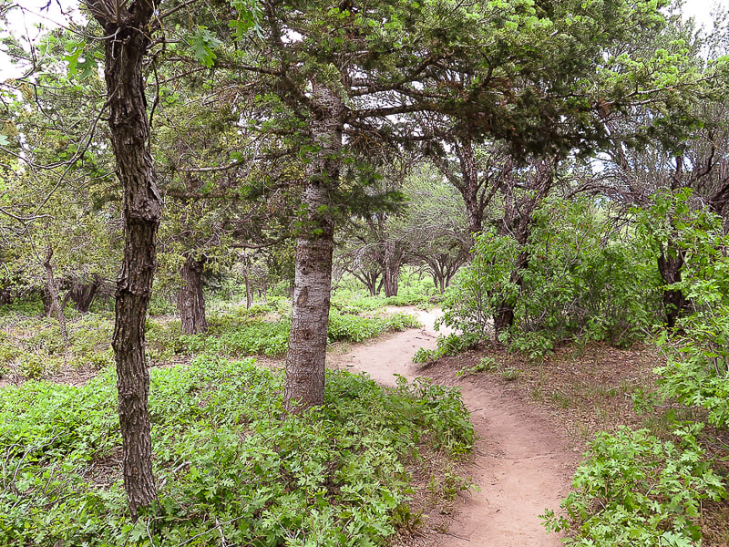 First mile of Forsyth Trail 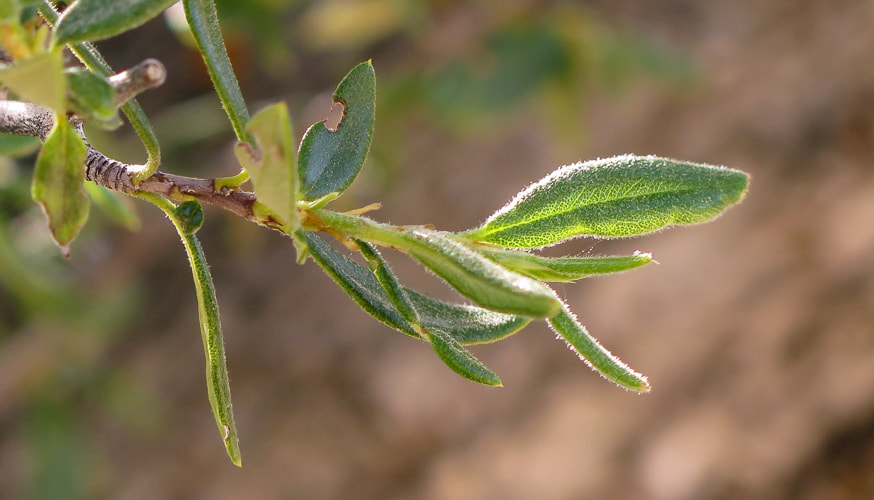
Forsyth Creek - 4/24. 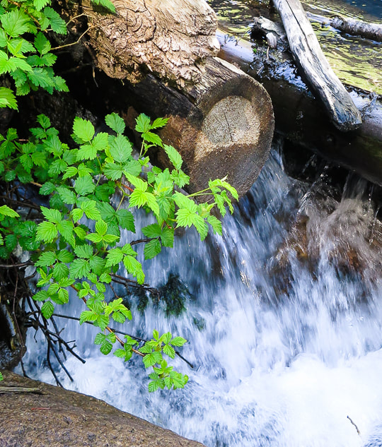 Forsyth Creek 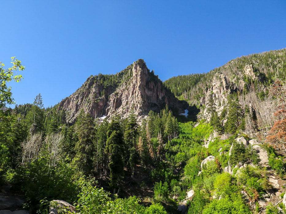 Large crag on right side of Forsyth Trail.
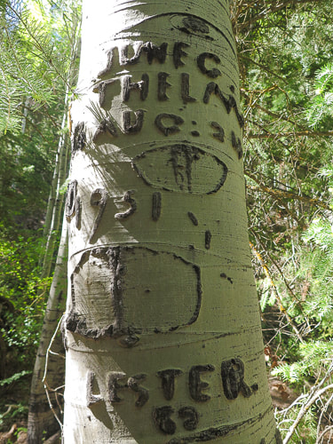
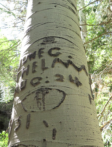
This forest is filled with large, towering aspens. Many had names and dates carved into their trunks. The carving above has a date of August 24, 1951. The depiction of a mountain range with a moon overhead made this one unique. This is possibly a Basque sheep herder carving or "arborglyph". Basque sheep herders had a lot of time to pass and many carved not only their names, but also simple scenes of life in the mountains. We returned to summit Signal Peak in 2022 in autumn - the colors were spectacular. 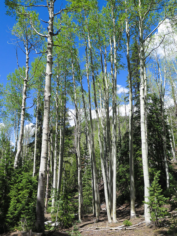 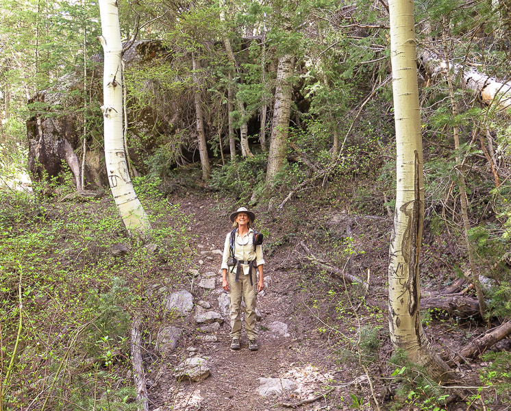 Sue on the trail! 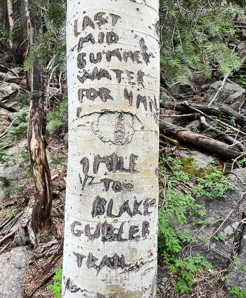 At final Forsyth Creek crossing, this inscription reads: "Last mid-summer water for 4 miles. 1 mile to Blake-Gubler Trail." 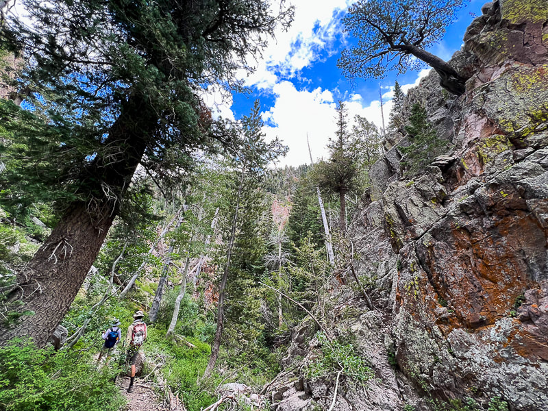 Mid-way up Forsyth Canyon - it squeezes in between steep crags on both sides. 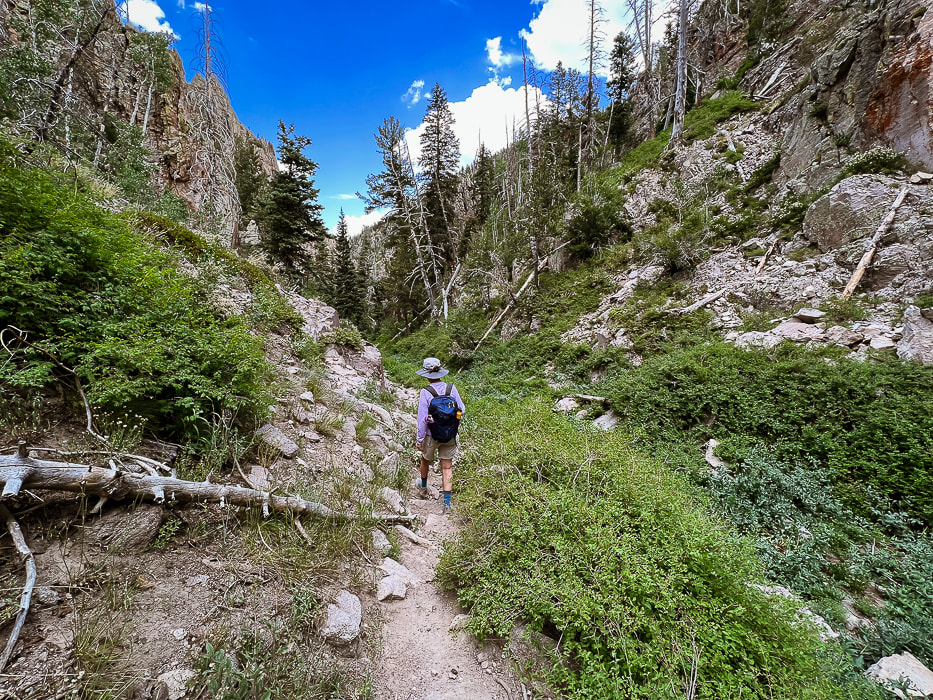 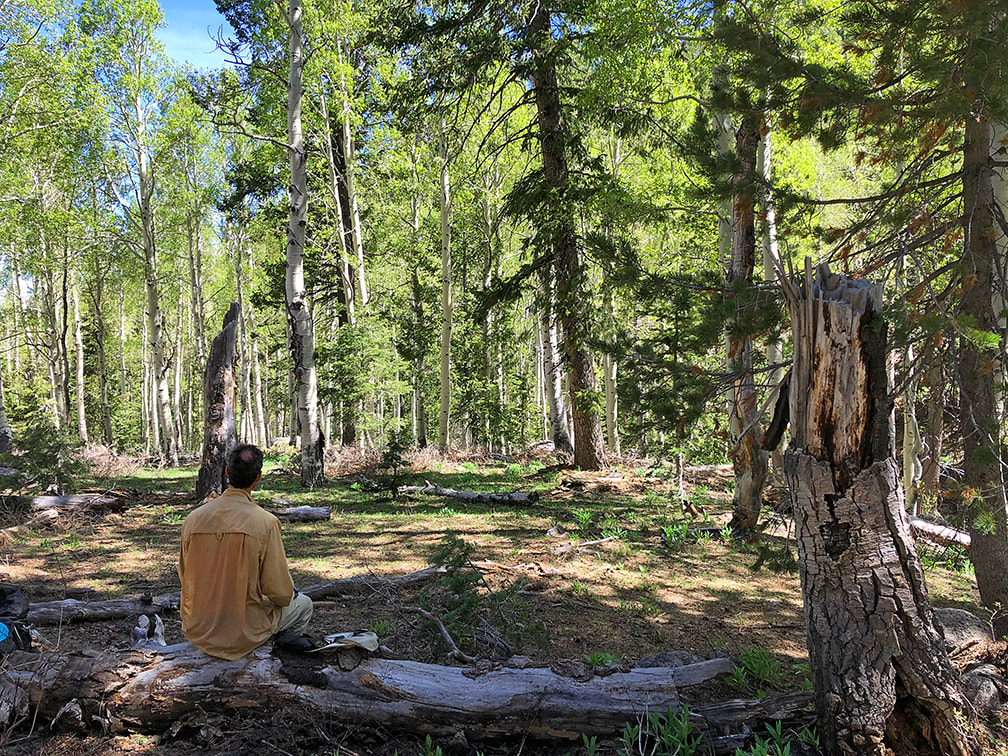 Lunch break at small meadow - 4.2 miles in on Forsyth Trail
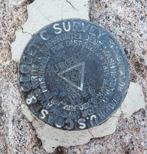
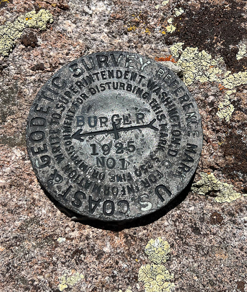
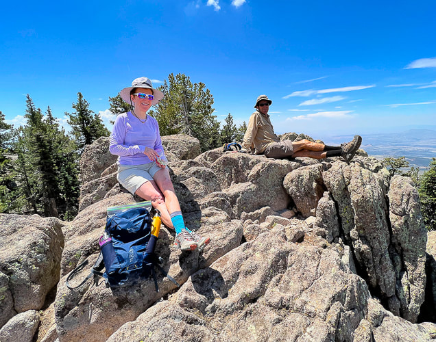
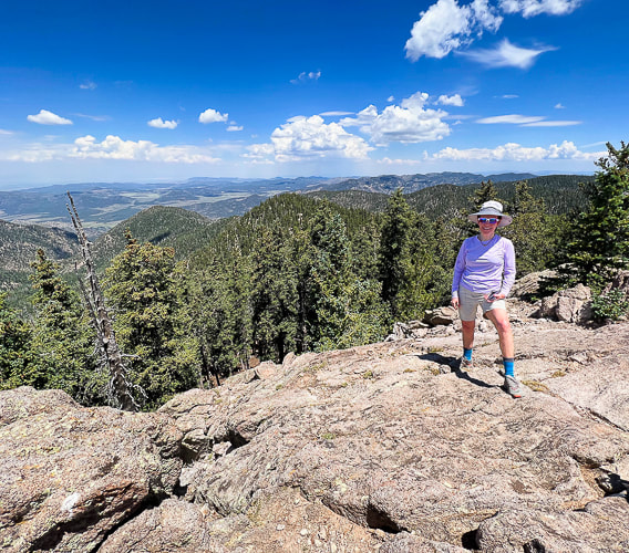
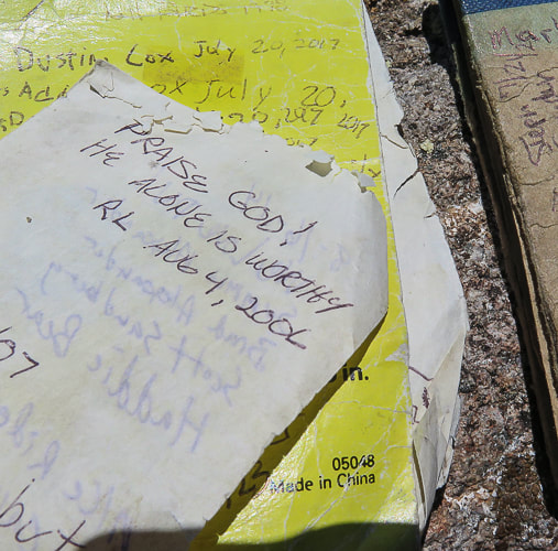
 Spur trail to Burger Peak Summit The spur trail to Burger Peak summit leaves Summit trail just as it is descending toward Signal Peak. It is easy to spot on the left once you walk past killer views of Snow Valley, Red Mountain, and Zion National Park. It starts as a path and then you can spot sporadic cairns to lead you northeast over ridge crags to the actual summit, ~ 0.3 miles from Summit Trail. Ponderosa Pines, firs, and steep crags dominate Burger's summit. The summit has a register and a geodetic triangulation survey marker and a great view of the town of Pine Valley to the north. 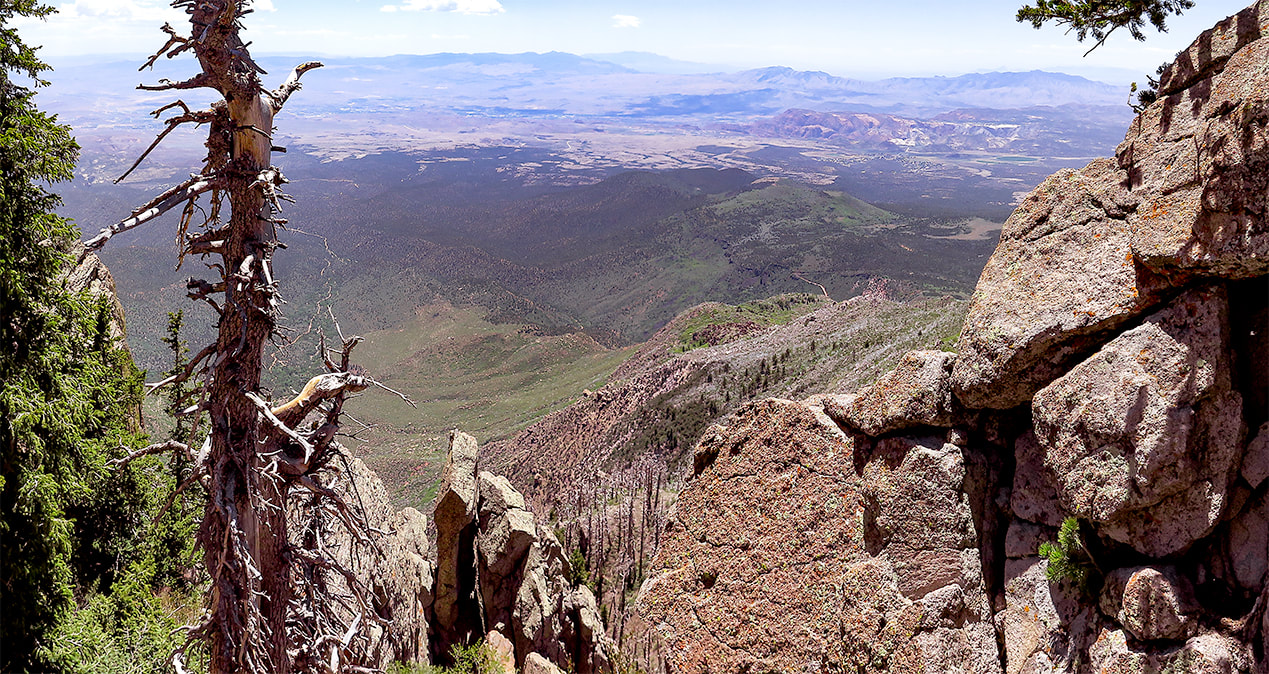 Finally get an opening in the forest ~ 5.7 miles into the hike to view vast Southern Utah: St. George, Zion National Park 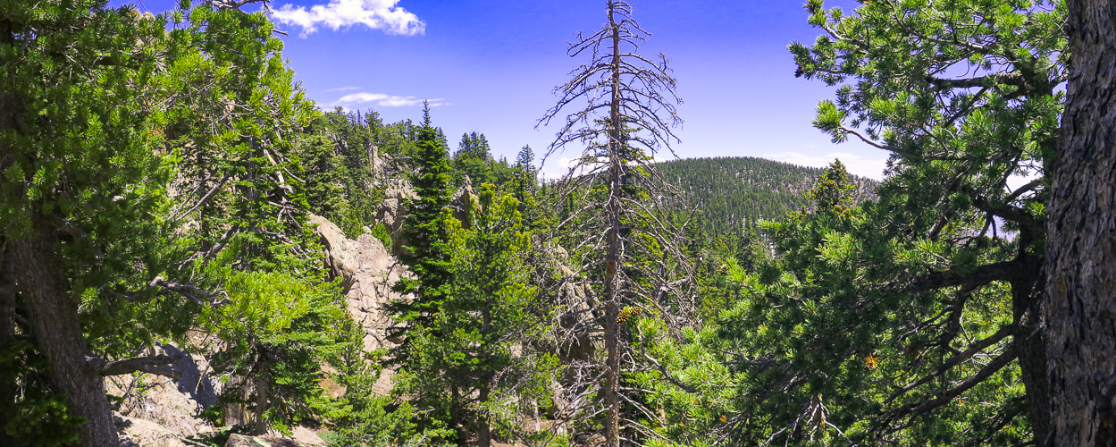 View of Signal Peak, highest point in Pine Valley Mountains from near Burger Peak's summit 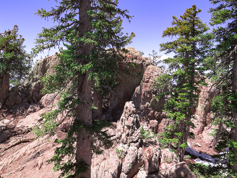 Rock walls to walk between and around at Burger Peak's summit. Keep heading northeast to the highest crag, the highest point on Burger Peak with register and triangulation survey marker. 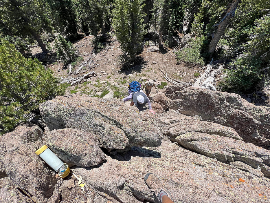 Laura and Fred climbing Burger Peak's summit with register on top. From Burger Peak's summit 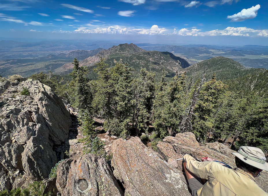 Looking west from Burger Peak summit. 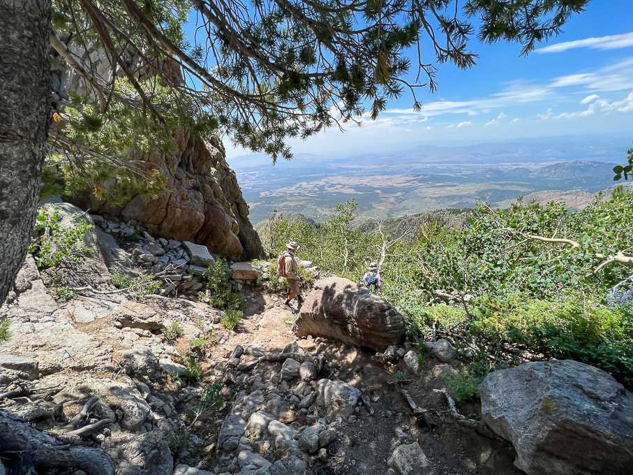 Heading back down with view of Red Cliffs Desert Reserve to the south. Pine Valley has an interesting history. It was discovered by Mormon pioneers Gunlock Bill Hamblin, Jacob Hamblin, and Isaac Riddle when they were moving cattle north of Santa Clara for summer grazing. A sawmill to process lumber was erected in 1856. The tall white Pine Valley Chapel stands out as you drive through town. Built in 1868 according to Ebenezer Bryce's plan, it is the oldest meetinghouse in continuous use of the Church of Jesus Christ of Latter Day Saints. Bryce reportedly followed a lost cow later into a beautiful canyon - the now famous Bryce Canyon National Park. He had huge granite boulders placed at the corners of the foundation. Bryce's experience in Scotland as a shipbuilder was the impetus for the well-constructed chapel. Regrettably, The Pine Valley Heritage Center in town was closed as we finished the hike. We will be back to explore more of this exquisite wilderness. Possibly some snowshoeing in the winter? For now, we head back to the sweltering St. George heat and its red sandstone to look up to the granite crags and cool Pine Valley Mountains. 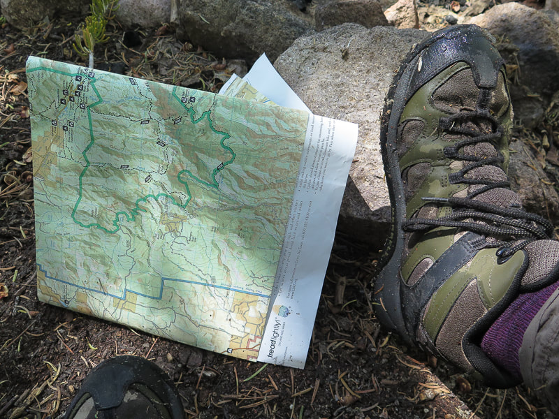 Break at the intersection sign - done with most of the large snow drifts! 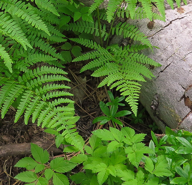 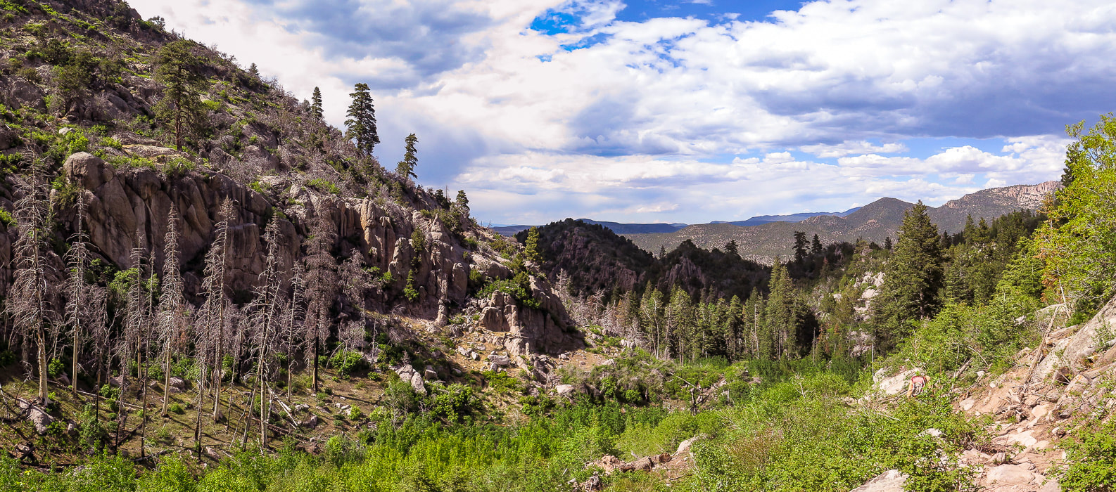 Descending rugged Forsyth Canyon 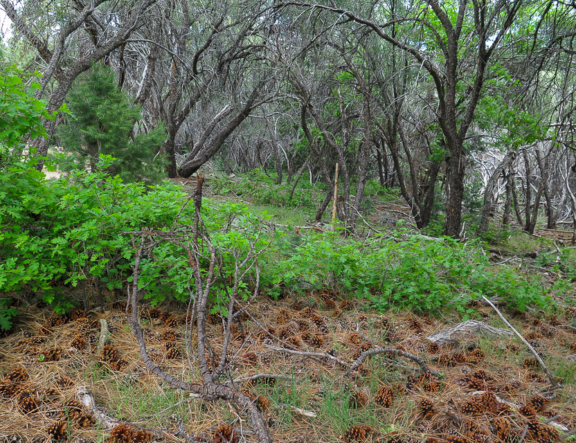 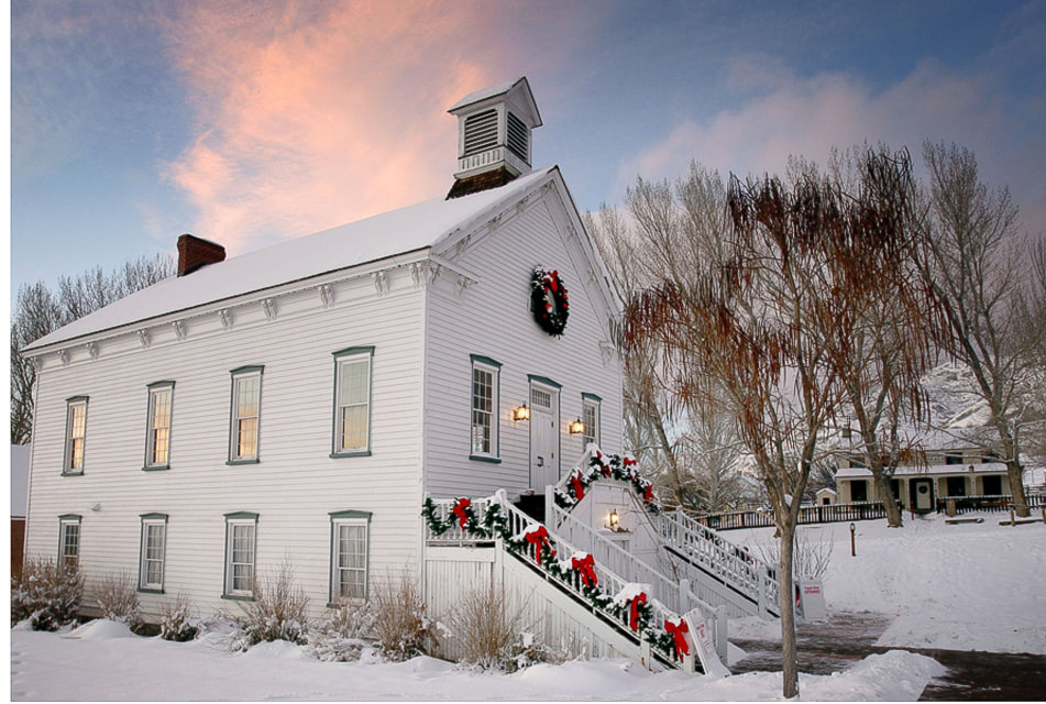 Pine Valley Chapel Downloaded from internet: https://www.thisistheplace.org/pine-valley-chapel-rental 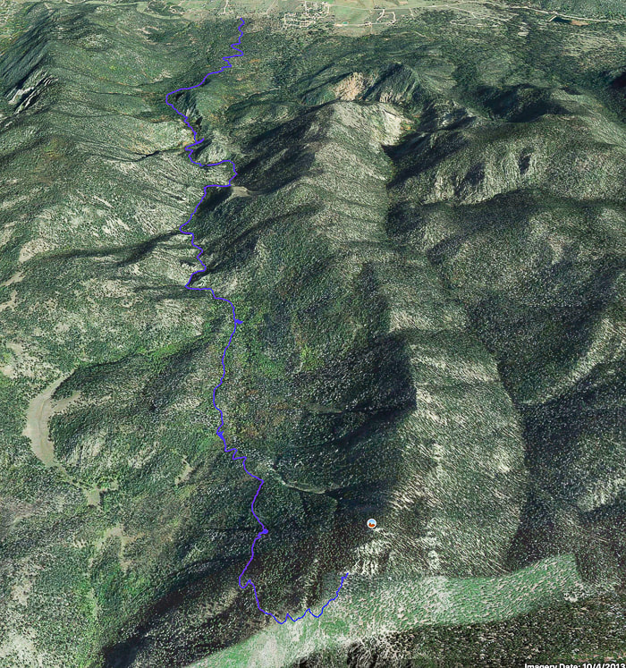 Google Earth image of our tracks from Pine Valley (north, or top of image) Utah to (almost) Burger Peak summit via Summit Trail. Deep snow prevented us from getting to true summit. References
Pine Valley Mounains - Wikipedia Exploring Burger Peak via Forsyth Canyon. Don Gilman, September 26, 2018. Southern Utah Now. Pine Valley Utah Official Home Page - History. pinevalleyutah.org Pine Valley: More than a Chapel - Church History. history.churchofjesuschrist.org Pine Valley Chapel brochure from the Church of Jesus Christ of Latter-Day Saints
4 Comments
|
Categories
All

Sue and Fred

About this blogExploration documentaries – "explorumentaries" list trip stats and highlights of each hike or bike ride, often with some interesting history or geology. Years ago, I wrote these for friends and family to let them know what my husband, Fred and I were up to on weekends, and also to showcase the incredible land of the west.
To Subscribe to Explorumentary adventure blog and receive new posts by email:
Happy Summer!

About the Author
|