|
Seldom summited, this remote, jagged mountain out of Jennie Lake with views of Idaho's Sawtooth Mountains is a rewarding Class 2-3 hike, and is not as intimidating as it looks. Bag Points 8610 and 8568 on the way.
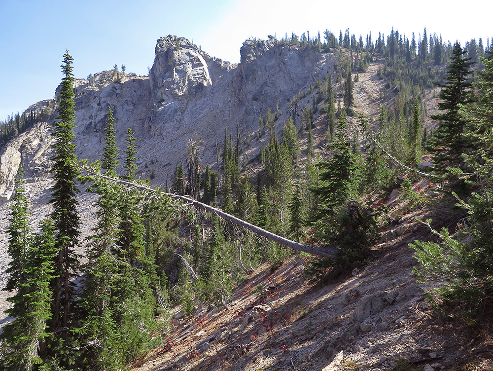
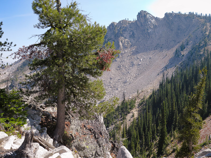
North face of Wolf Mountain, Boise National Forest, 8,876'. Trip Stats
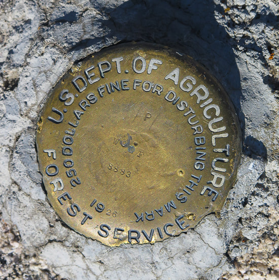
Location: Northeast of Idaho City near central Idaho, Boise National Forest. Distance/Elevation Gain: 12.5 miles round-trip, 3,800' net elevation gain including recovering lost elevation if you do both Wolf Mountain and Peak 8610. Trailhead = 6,080', Summit of Wolf Mountain = 8,876'. Difficulty: Moderate Class 1 for 4.4 miles to Jennie Lake; Strenuous Class 2 scramble past Jennie Lake; Class 2+ minimal exposure using hands to propel up rocks last 30' to summit. Coordinates: Trailhead = 43.991472 -115.451525, Wolf Peak Summit = 44.0099 -115.3882 Date Hiked: 10/02/20. Maps: Boise National Forest Map - USDA, Jackson Peak Quadrangle, 7.5 min topo map, Boise National Forest Map (U.S. Forest Service), our GPS tracks below. Driving directions: Jennie Lake Trailhead. Drive 21 north from Boise past Idaho City. Pass over Mores Creek Summit and descend. Just past Whoop-um-up park and ski area, turn east (right) onto forest road 384. The road is well-maintained, follow 384 for 6.3 miles to the junction with FS 348, just before the Willow Creek campground. Follow 348 for 7.4 miles, to a sign reading "road closed 0.2 miles". Take this and park at the trailhead to Jennie Lake. Geology: Challis intrusive rocks (Eocene, 50 million years ago). See "geocurious" box below. Considerations: Jennie Lake is a popular backpacking/hiking destination to view spring/summer wildflowers. History of the name "Wolf Mountain": Arval Anderson, who made the first maps of the Sawtooth Wilderness Area for the Forestry Service in 1927, saw wolves on this mountain. The brass benchmark on top of Wolf Mountain is engraved with the date "1926" (see below). From Idaho: A Climbing Guide - Arval Anderson, Early Sawtooth Explorer and Surveyor."
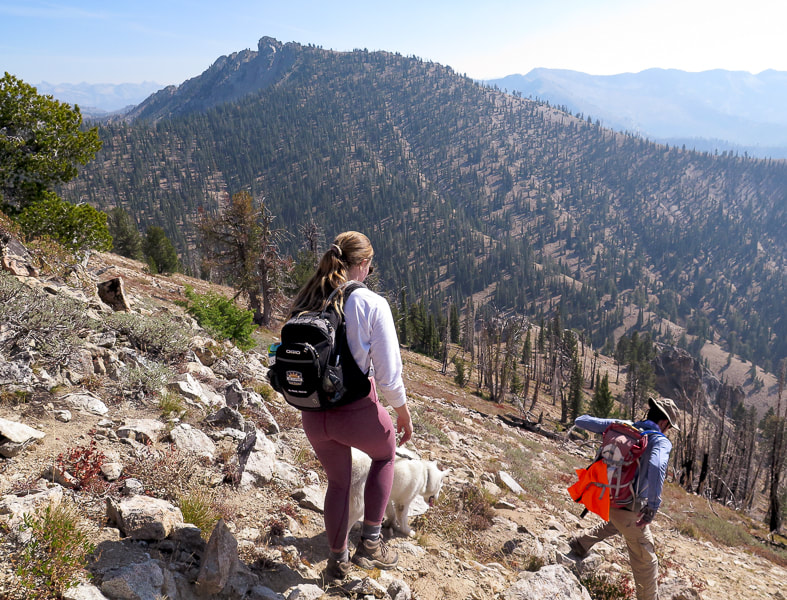
On the way back from the summit
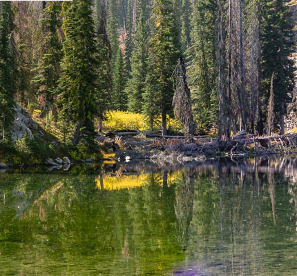
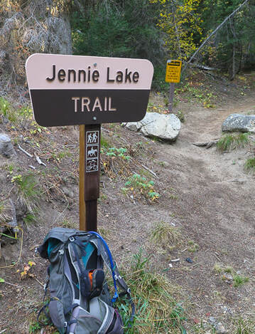
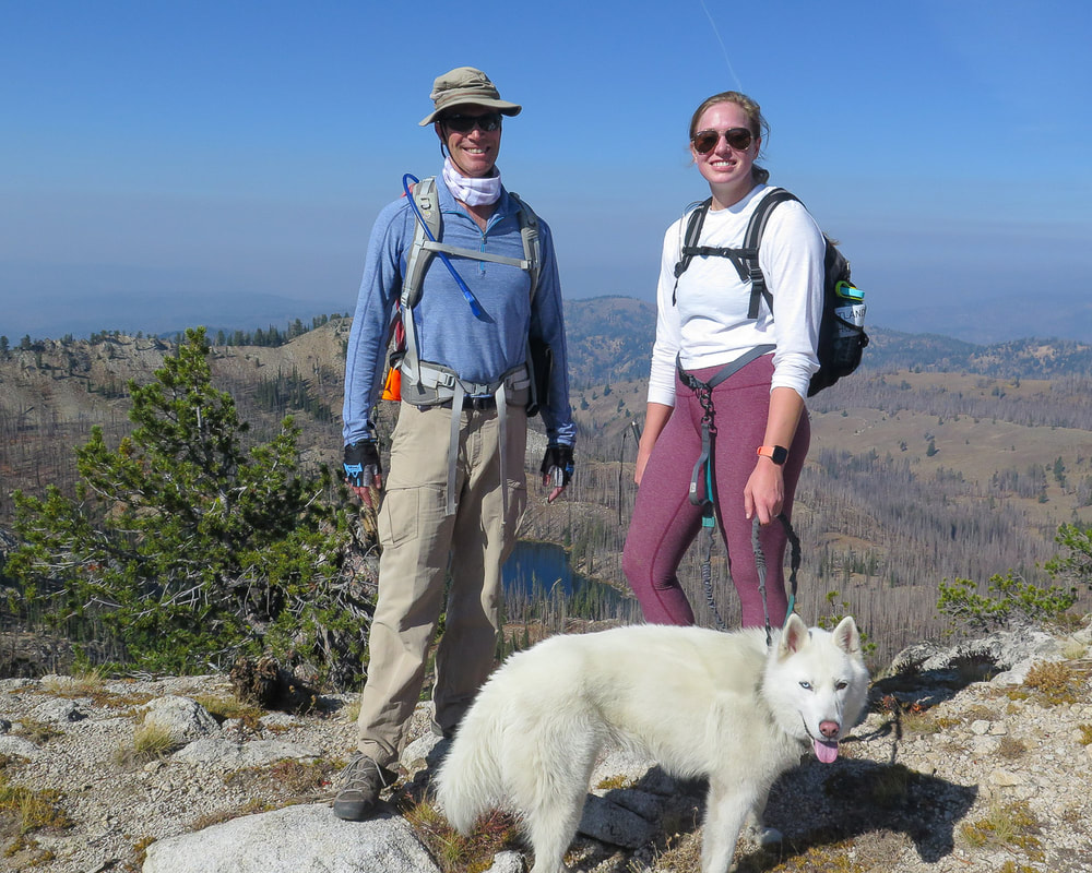
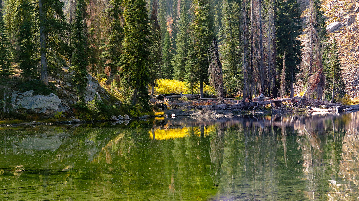
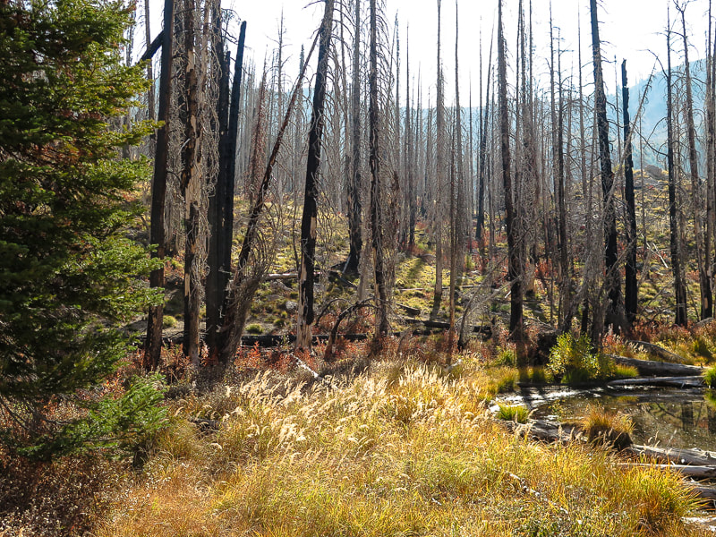
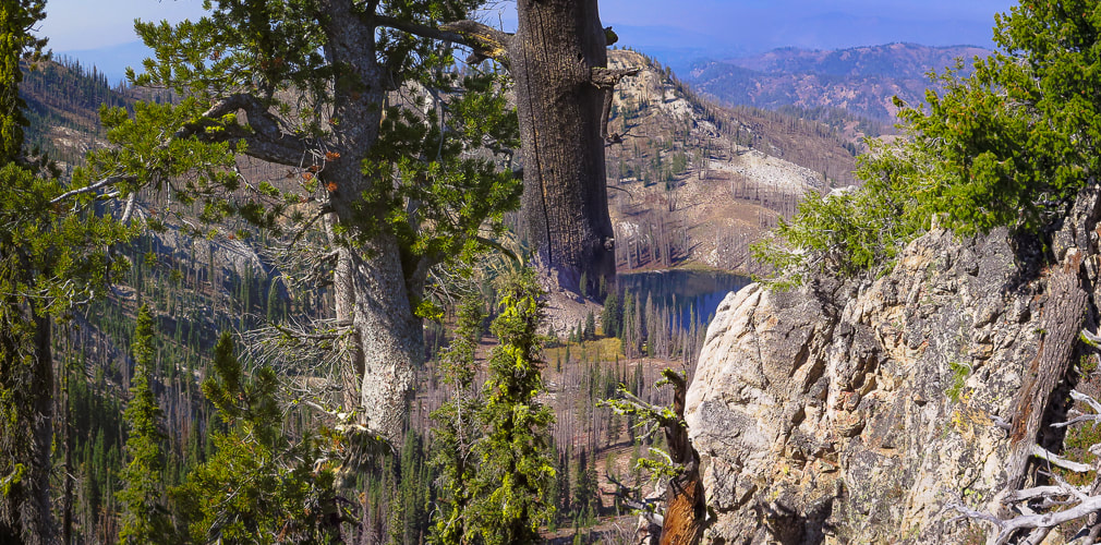
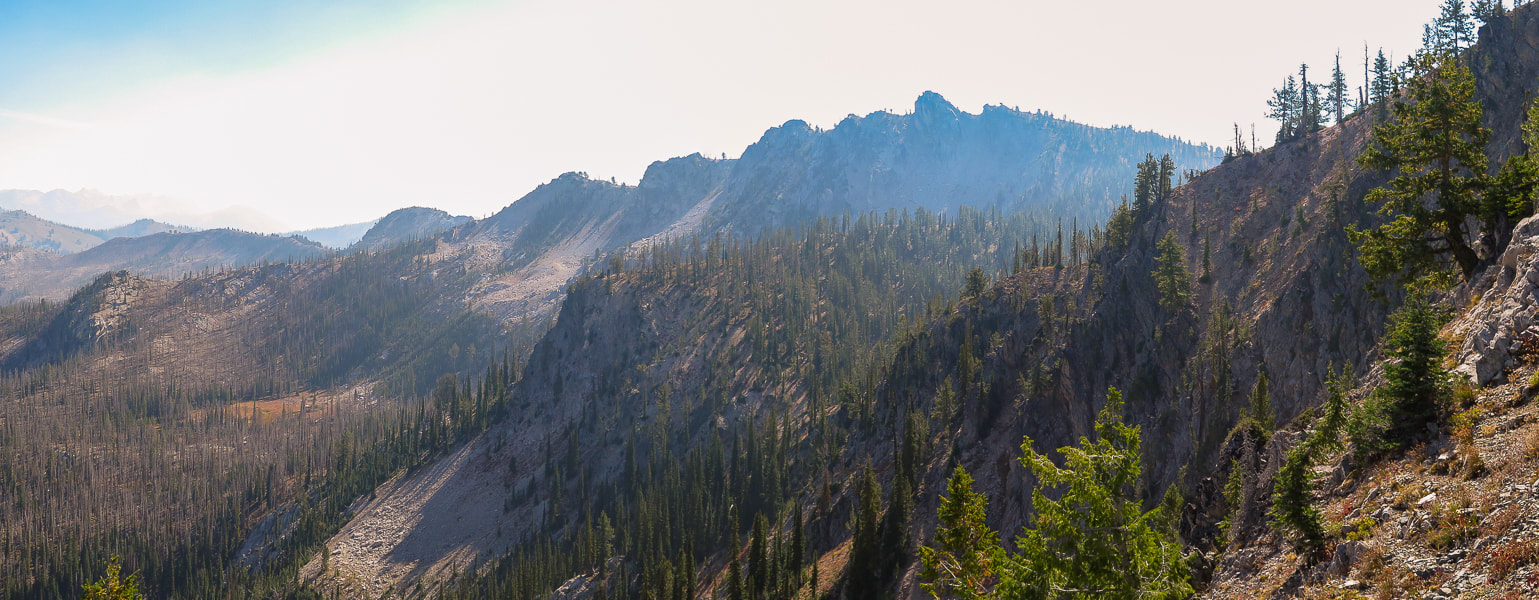
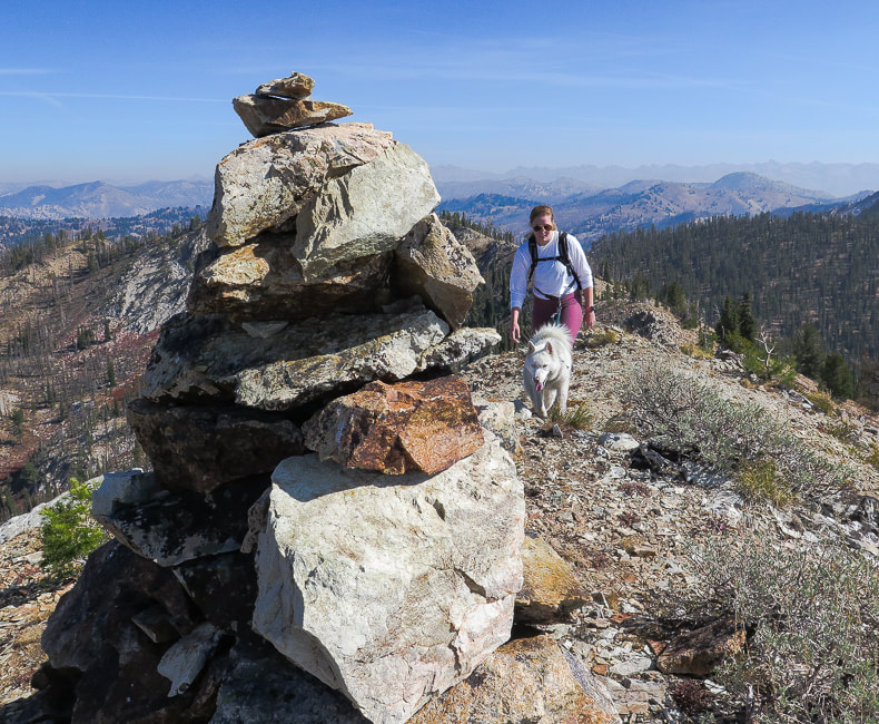
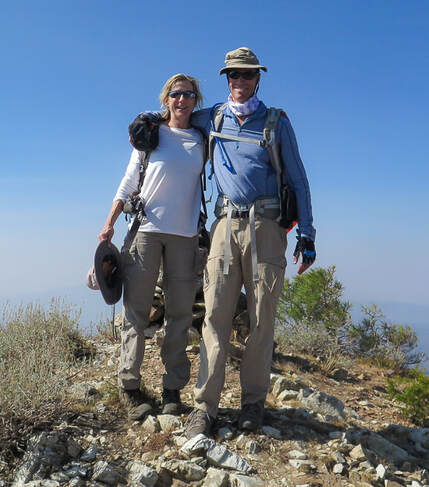
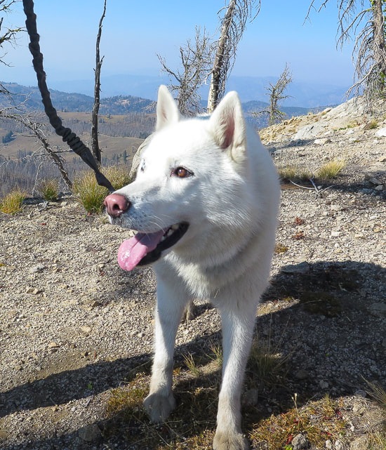
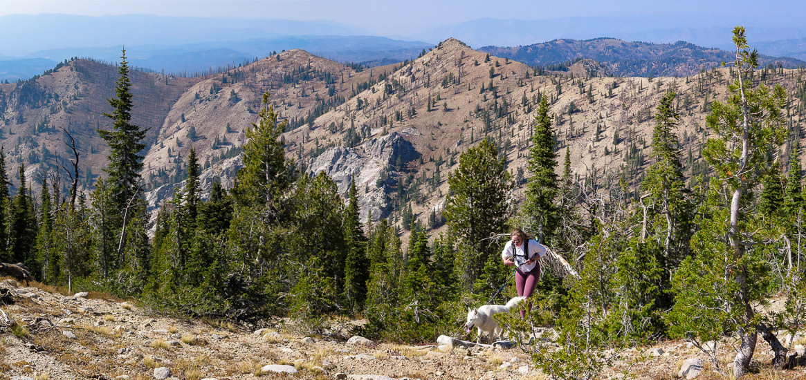
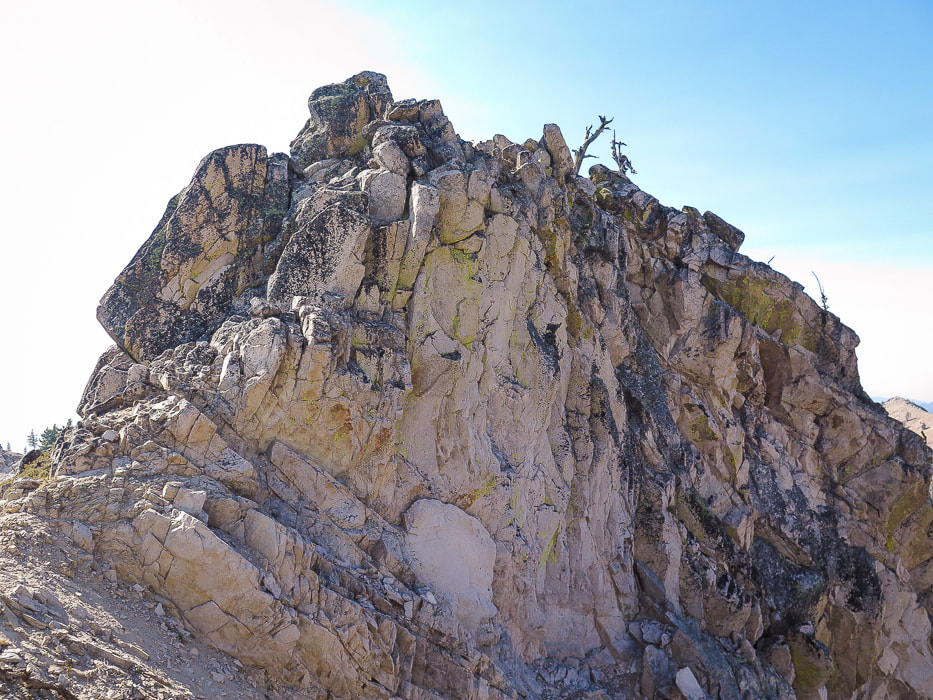
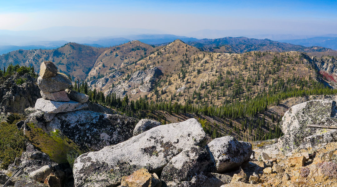
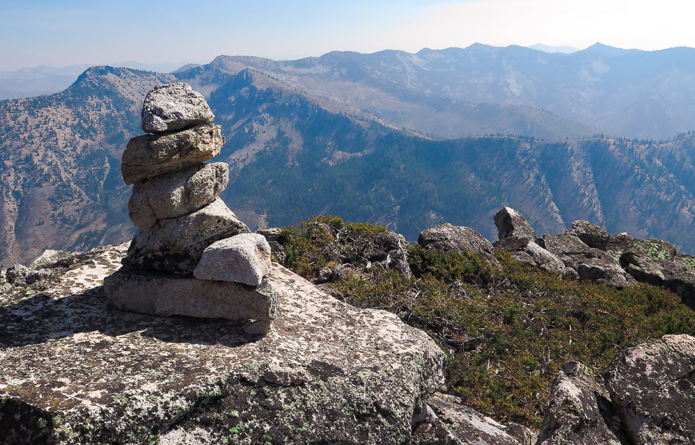
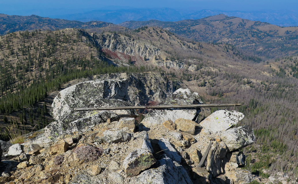
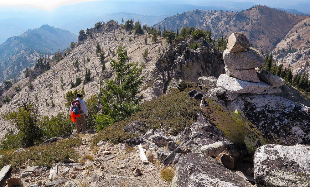
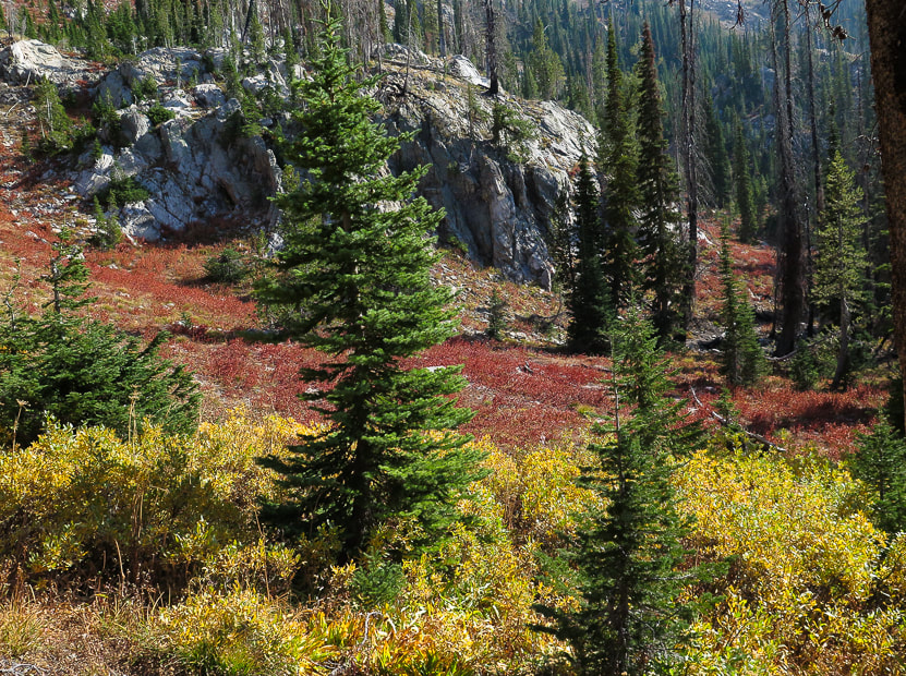
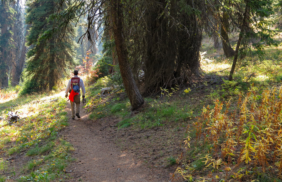
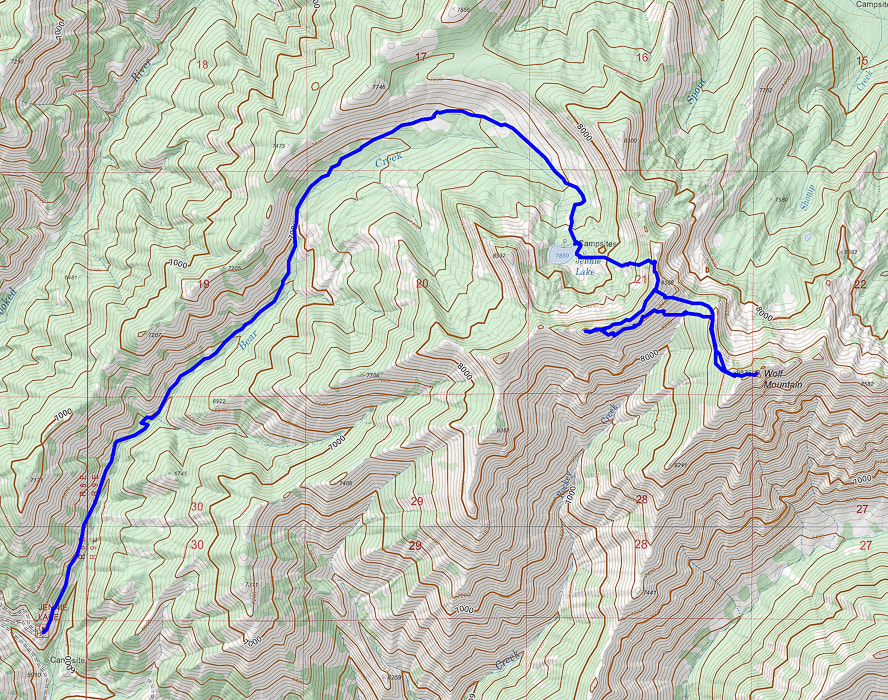
Fred, Anna, and Sylvie the dog On ridge between Wolf Mountain and Jennie Lake basin (behind). Points 8568 and 8610 can be summited on this ridge in addition to summiting Wolf Mountain! Jennie Lake We ascended ridge to the left of lake entrance, hiking due east At the lake entrance, we scouted the lowest saddle to the left on the lake's surrounding wall and made a beeline towards it, walking around the lake briefly to the left/south, then due east up the ridge. It's a heart-pounding steep 600' climb to the ridge overlooking Jennie Lake through autumn bunch grasses, red shrubs and rocks that all too easily dislodge under your boot. Once on the ridge, there is no mistaking Wolf Mountain's location to the southeast. We ended up just north of Point 8568 and continued southwest 0.6 miles on the ridge to cairned Point 8610, Jennie Lake surrounded by trees below us to the right, and Wolf Mountain looming across the deep Rockey Creek streambed to our left. We would have to lose some elevation (260') and then regain it to get to Wolf's summit. The view was hazy due to smoke from Oregon and California wildfires. Ridge to southeast of Jennie Lake; we headed up toward high point on the left. Hazy smoke due to CA and OR fires. Many trees burned around Jennie Lake due to previous fire. Climbing to the ridge overlooking Jennie Lake First look at Wolf Mountain's north face from ridge above Jennie Lake Point 8568 is to the far right in the image Anna and Sylvie summiting Point 8610 on ridge that divides Jennie Lake basin (left) and Wolf Mountain's northern ridge (right). Route-finding from Point 8610 on ridge to Wolf Mountain's north ridge (upper left ). On Wolf Mountain's north ridge To summit Wolf after summiting Point 8610, walk back down the ridge to just before Point 8568 where Wolf's north ridge is seen and drop down into deep stream gulley, cross this dry streambed and then head straight up aiming toward Wolf Mountain's northern ridge. After this climb out, an opening in the trees provides views of the sudden drop into the crater-like bowl of raw talus slopes and the granite block of the summit. Hike on the margin of the talus field, just above the steep cliffs to the left. Anna and Sylvie arriving at base of Wolf Mountain's summit block. We had walked over from Point 8610 along ridge behind her. Anna and Sylvie had to wait just below the vertical rocks of the summit since this last challenge requires Class 2+ scrambling using hands (photo below). Fred and I scrambled to the narrow summit with a prominence of almost 900 feet. We were elevated far above this part of central Idaho, looking north to Jackson Peak. Steep cliffs drop to the north and south. We wished Anna and Sylvie could be with us because it is these small summits that make you feel slightly precarious that are the best. Final summit climb For the Geocurious The rocks of Wolf Mountain were created by the Farallon Plate sliding under (subduction) the North American Plate on North America's west coast causing the earth's crust to spread, triggering the intrusion of magma to form shallow granitic plutons ~52 million years ago. It would be great to check out this rock more closely to determine what this pluton is made of: granodiorite (> 20% quartz), quartz monzodiorite, or granite? Another distinctive feature of this Eocene granite is the planar, high-angle jointing; and Wolf Mountain is a great example. Many spectacular peaks in central Idaho are in steeply jointed Eocene granite, which weathers to sharp peaks and steep topography. View of Point 8610 (mid-image) from the summit of Wolf Mountain. We were just there! Survey benchmark possibly installed by Arval Anderson, who made the first maps for the Sawtooth Wilderness Area. Award-winning author and adventurer Lucy Jane Bledsoe articulates her thoughts on achieving a mountain summit: "Perhaps it isn't will at all that fuels a person to the top of a mountain. Perhaps it's the ache for beauty. A desire to be dangled over the canyon of nothingness. To, in fact, lose one's will for a moment." Robert MacFarlane, author of Mountains of the Mind: Adventures in Reaching the Summit says, “Mountains seem to answer an increasing imaginative need in the West. More and more people are discovering a desire for them, and a powerful solace in them. One forgets that there are environments which do not respond to the flick of a switch or the twist of a dial, and which have their own rhythms and orders of existence." The feeling of standing on a summit far above all else is difficult to articulate, but one word that occurs to me repeatedly is "freedom". It's room, it's space, a feeling of no constraints, and the freedom of overcoming self-imposed constraints such as "that peak looks too hard to do." It is also the knowledge that this mountain has been here a lot longer than I, and will be here a lot longer after I go. It is the freedom to be able to see what that mountain sees. It's a feeling so unlike our everyday occurrences that I savor those moments and the ability to experience something that is so different. There is the matter of conquering, achieving and getting to the top, as George Mallory, the English mountaineer who was part of the first Mount Everest British expeditions in the 1920's says. He answers the question, "what is the use of climbing mountains?" in his quote: “For the stone from the top for geologists, the knowledge of the limits of endurance for the doctors, but above all for the spirit of adventure to keep alive the soul of man.” ― George Mallory Always a welcome sight - the cairn at the top! Summit of Wolf Mountain looking northwest On the return, we had to climb out of the deep stream bed at Wolf's northern base and back up towards Point 8568 overlooking Jennie Lake. We made our way down that steep ridge into Jennie's basin. We made a quick hike back down the trail to the truck, it seemed a long way, as we had all run out of water. Bear Creek was still flowing next to us, even this late in the season! We were all dusty, especially Sylvie who normally has a white coat, but emerged out of that forest with a tan tinge to her hair. Sure made the day even better to be able to hike with her and Anna. Heading back down On the homestretch! - Jennie Lake Trail Wolf Mountain and Peak 8610 via Jennie Lake Trailhead Topo Map After gaining the ridge southeast of Jennie Lake, we walked along it to summit Point 8610; we then descended into Rockey Creek and then back up to summit Wolf Mountain via its north ridge. click for larger image References
Boise National Forest Large Fire History: 1980 - 2018. DeGrey, L., Link, P. Digital Geology of Idaho: Challis Magmatic Episode. retrieved from internet. Interactive Map. Idaho Geological Society. Retrieved from the internet. Johnson, K. M., Lewis, R.S., Bennett, E.H., Kiilsgaard, T.H. Cretaceous and Tertiary Intrusive Rocks of South-Central Idaho. Moye, F.J., Hackett, W.R., Blakley, J.D., Snider, L.G. Regional Geologic Setting and Volcanic Stratigraphy of the Challis Volcanic Field, Central Idaho.
6 Comments
|
Categories
All
About this blogExploration documentaries – "explorumentaries" list trip stats and highlights of each hike or bike ride, often with some interesting history or geology. Years ago, I wrote these for friends and family to let them know what my husband, Fred and I were up to on weekends, and also to showcase the incredible land of the west.
To Subscribe to Explorumentary adventure blog and receive new posts by email:Happy Summer!
About the Author
|
