|
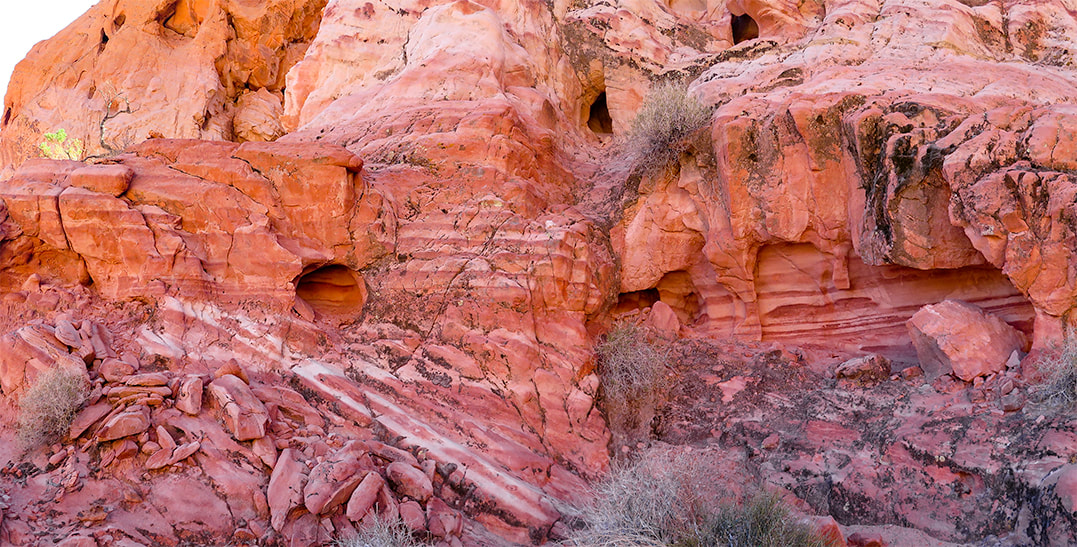
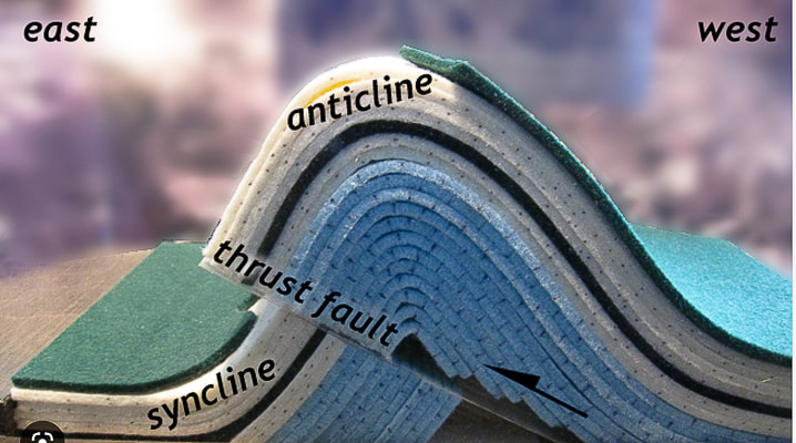
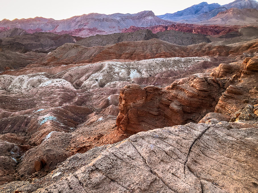
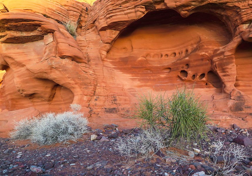
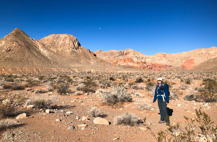
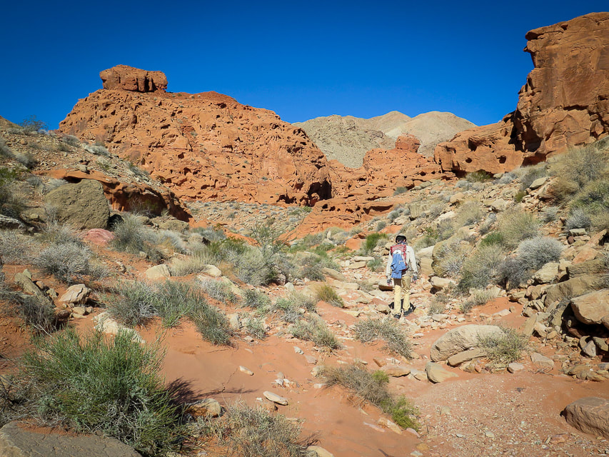
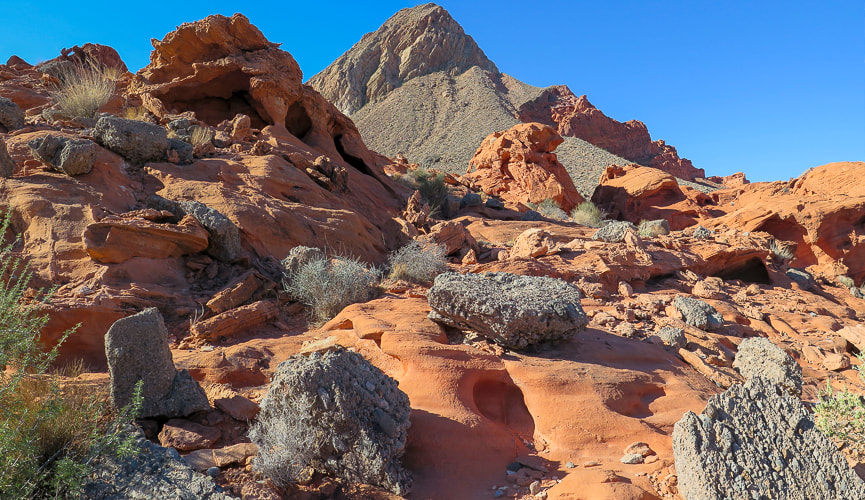
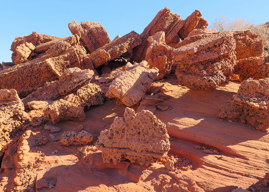
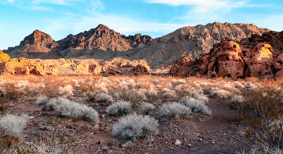
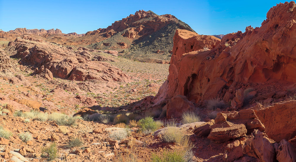
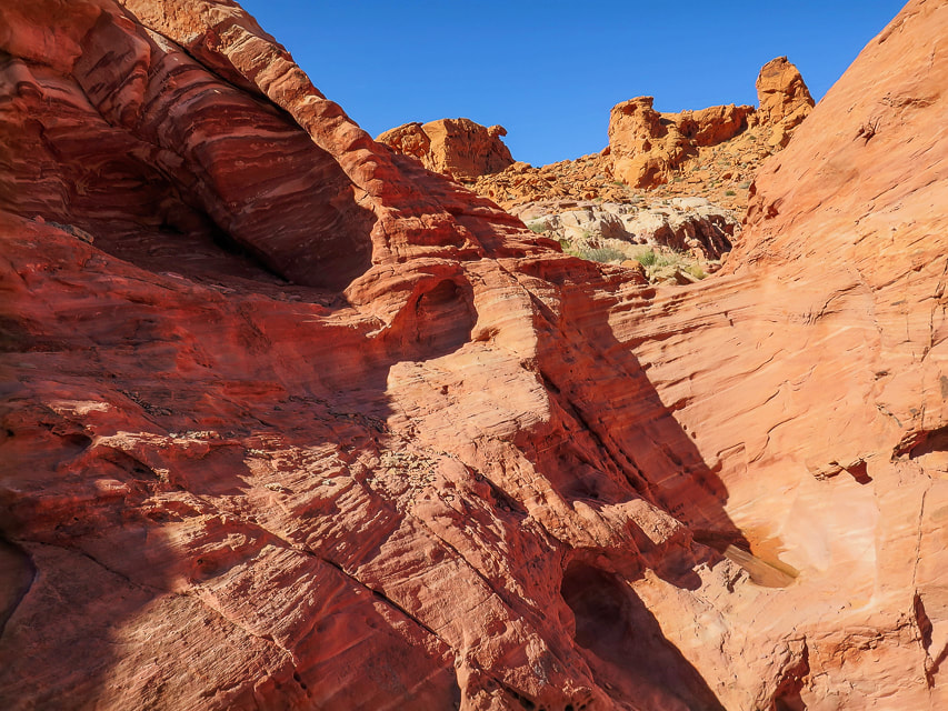
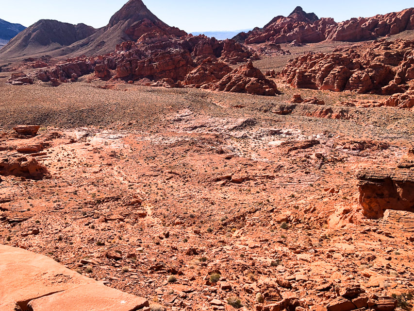
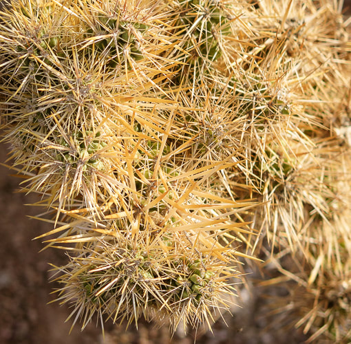
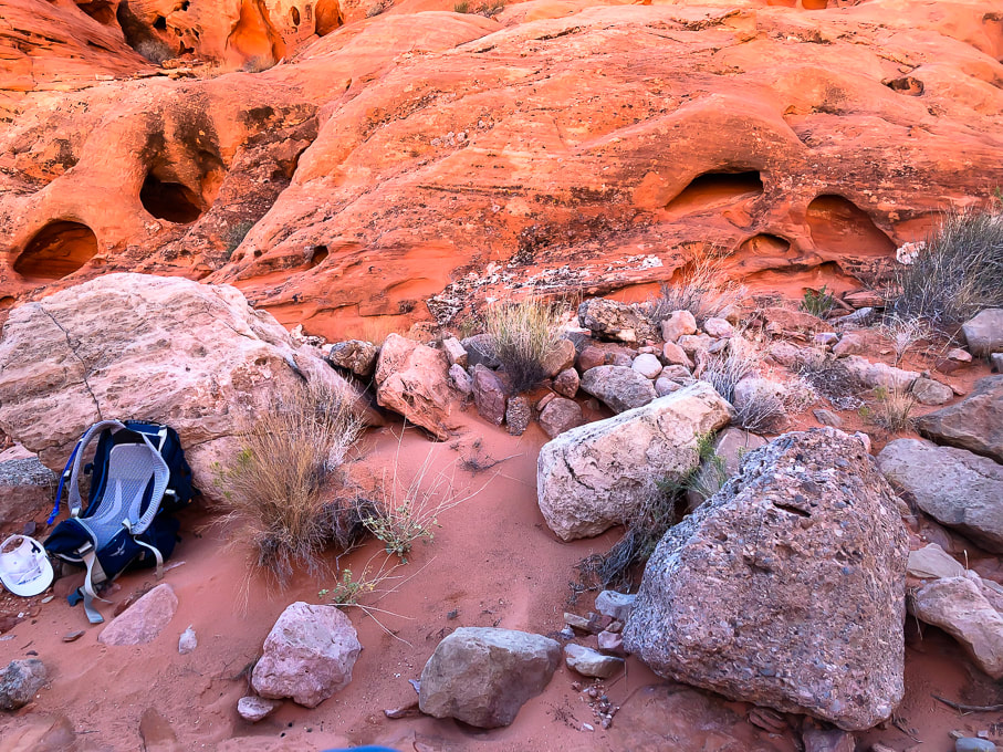
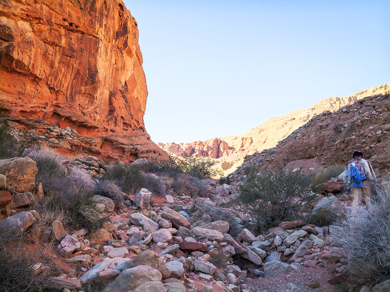
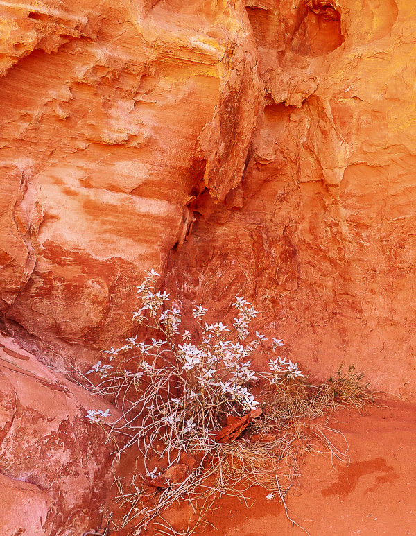
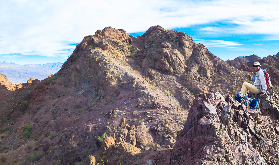
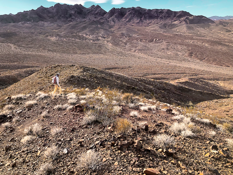
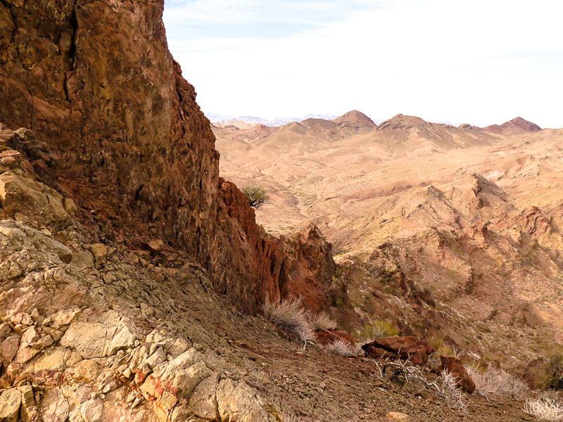
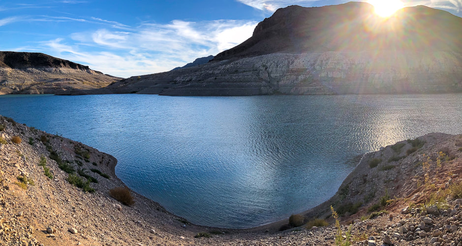
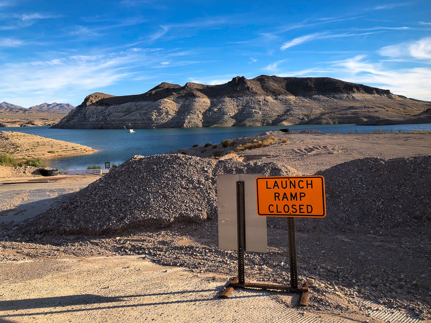
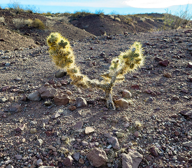
Create your own exploration of this quiet, transcendent wonderland surrounded by ancient limestone mountains. Walk for an hour or all day and you will understand why it is called "bowl of fire". Trip Stats - Bowl of Fire Overview: Hike a long loop through rugged north and south sections of Bowl of Fire, or a shorter out-and-back journey to sample this unique Jurassic-age sandstone terrain. Either way, you will find yourself in a wonderland of washes and small canyons, exploring a land of grey, orange and red scattered boulders, water-filled potholes and honeycombed-eroded slickrock. Muddy Mountain's looming limestone backdrop adds to the drama. Location: Muddy Mountain Wilderness (NRA), Northern portion of Lake Mead NRA, southern Nevada. Access from two trailheads on Northshore Road: Northshore Summit Traihead and pull-out 2.4 miles west of this trailhead. Nearby Peaks on our wishlist: Muddy Mountain, Bearing Peak, South Gate and North Gate Peaks. Maps and Apps: AllTrails tracks, Lake Mead map from National Geographic Trails Illustrated no. 204. Date hiked: 11/12/22. We have discovered, in exploring southern Utah, Nevada, and northern Arizona that our list of "to-do's" grows exponentially. The Bowl of Fire is just one small place in the geologically complex Lake Mead National Recreation Area, where rock ages span 1.8 billion years. Recognizable from trailheads on Northshore Road, the Bowl of Fire is a bright orange pocket of sandstone beneath the formidable-looking Muddy Mountains, made of 500-300 million year old gray limestone. The summit of Muddy Peak, a ~ 3,000-foot gain is one of the "classic" desert peaks to hike. It's on our list. From its summit, we will be able to see our recent ascents up Virgin Peak and Signal Peak. We stayed in Echo Bay campground in the northern portion of Lake Mead National Recreation Area. We walked to the shores of Lake Mead and found the area pretty much abandoned. Lake Mead is at its lowest level since 1937, filled only to 27% capacity. An old boarded-up restaurant still stood. I bet in its heyday it was a thriving place, but now signs say "Launch Ramp Closed." It's eerie to see the "bathtub ring" of light-colored rock at the base of mountains, where there once was water. Besides the Bowl of Fire, we ventured up a high point in the rugged volcanic Jimbilnan Wilderness to get a view of Lake Mead. Stark and dry, this is the Mojave Desert, dominated by creosote bush, mojave yucca and beavertail cactus. "Jimbilnan" is a combination of names of three National Park Service employees who surveyed this area - Jim, Bill and Nancy. This wilderness is made up largely of the rocks from the Cleopatra stratovolcano that erupted 13 million years ago. This is an area of many small brown to grey "bumps", gnarly ridges and peaks, and we found ourselves climbing on unforgiving, crumbly, sharp rocks. Two Parts to the Bowl of Fire Upon entering "the bowl", you are free to create your own path and wander wherever your impulse takes you - maybe explore a rocky canyon, walk to a high point through sandstone blocks, climb into a "cave" of eroded sandstone, or pass by slickrock tinajas (pools). We hiked just the southern part of Bowl of Fire (see Google Earth image below), our trailhead 2.4 miles west of Northshore Summit trailhead on Northshore Road. We parked in a small pull-out and soon found a trail heading north, crossing Callville Wash. Birdandhike.com describes an 8-mile hike that includes both north and south sections. Just when I thought I had seen every kind of sandstone feature, we ran into some highly eroded blocks on the ridge of a high point that looked like Rice Krispies treats! (see below). Here, the rocks have character and the land in this Lake Mead area just north of Las Vegas is sublime and transcendent. Muddy Peak's summit is in the works - we will see some killer views of Nevada, Arizona and Utah. Our to-do list grows.... Never Stop Exploring ! For the Geo-curious: The Bowl of Fire "window" after older rocks are pushed onto younger rocks
Bowl of Fire is early Jurassic-age Aztec Sandstone (~180 mya), the equivalent to Utah's Navajo Sandstone. Muddy Mountains are made of sedimentary rocks (limestone) of Cambrian, Mississippian and Devonian age (500-400 million years ago). The Muddy Mountain Thrust layered older limestone over younger aeolian-deposited (wind) Aztec sandstone. Erosion of this overlying layer has revealed "windows" of the bright orange Aztec sandstone.
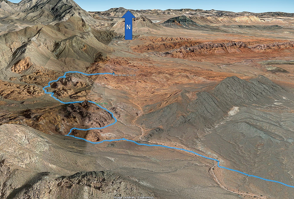
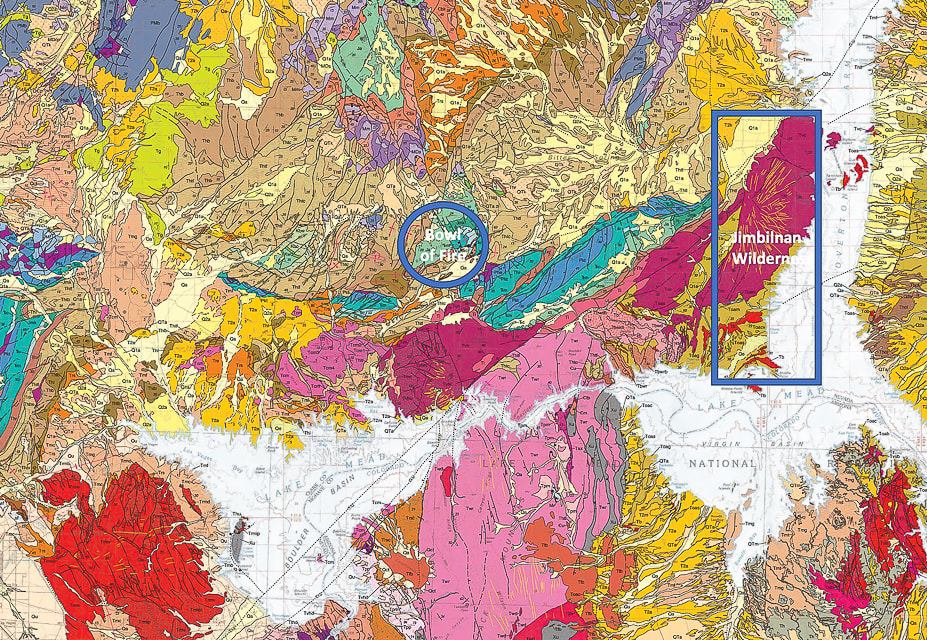
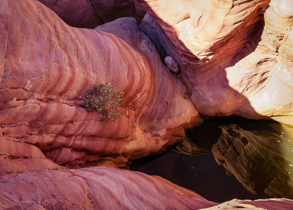
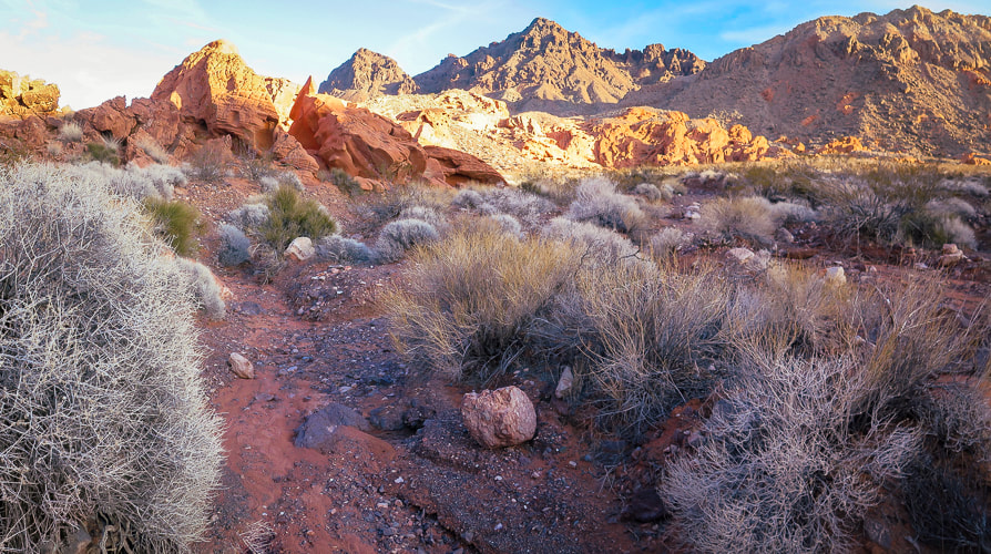
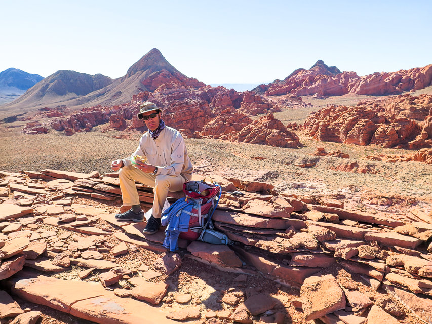
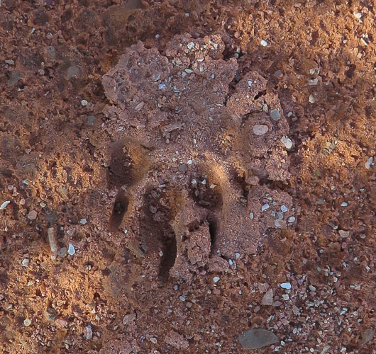
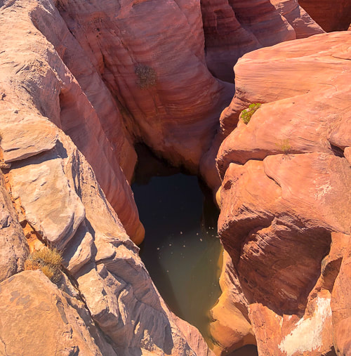
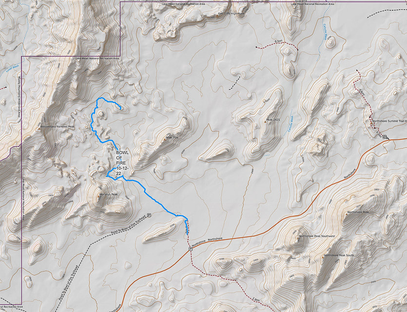
Our GPS tracks to southern Bowl of Fire. Complete tracks not recorded: we made a loop passing tinajas (pools under dry waterfalls) and ultimately walked down the wash seen above. Northern section of Bowl of Fire seen upper right, Muddy Mountains upper left. But first: A stop at the Virgin River Casino in Mesquite, Nevada for a free lunch on our way to Lake Mead (Fred is an Army vet). Sunsets create magical landscapes at Lake Mead National Recreation Area. USGS geological map of Lake Mead quadrangle. Each color represents a different rock unit. Oldest rocks are 1.8 billion year-old early Proterozoic gneiss. The magenta-colored units in the Jimbilnan Wilderness are from the Cleopatra Volcano and are much younger than the green-colored Jurassic units in of Bowl of Fire. The thin yellow lines in the Cleopatra rocks represent dikes where magma rose to fill fractures in existing rocks to produce an eruption of igneous rocks. Notice three distinct magenta sections including Jimbilnan: they used to be one huge stratovolcano more than 3,000 feet high now named Hamblin-Cleopatra. Two faults have since split the volcano into three parts and fault blocks have moved. Following a trail toward Bowl of Fire. Muddy Mountains on horizon. Porous, weathered sandstone reminding me of giant Rice Krispies treats! This section had a few dry waterfalls and pools of water. The view from a high point in the Bowl of Fire. Lunch on high point. Some cool stuff on the trail. A small glimpse of Lake Mead on left side of photo in the Jimbilnan Wilderness. Hiking down from high point in Jimbilnan Wilderness along the shores of the Overton arm of Lake Mead. Rocks are from 15-million year-old Hamblin-Cleopatra stratovolcano. The Black Mountains across the valley. We got to this pretty sketchy ridge in the volcanic Jimbilnan Wilderness, enjoyed the far-reaching views and then descended. Echo Bay, Overton arm of Lake Mead. Echo Bay - Overton arm of Lake Mead. Our GPS tracks into the southern Bowl of Fire. References
Beard, L.S, et al. 2007 Preliminary Geologic Map of the Lake Mead 30' X 60' Quadrangle, Clark County, Nevada, and Mohave County, Arizona. USGS website. Hamblin-Cleopatra Volcano. NPS - Lake Mead. Lake Mead National Recreation Area - Geology, USGS slideshow. Lake Mead Keeps Dropping. NASA Earth Observatory Zuluaga, L.F., et al. 2017. Structural and petrophysical effects of overthrusting on highly porous sandstones: the Aztec Sandstone in the Buffington window, SE Nevada, USA
4 Comments
Maria Keezer
12/13/2022 07:45:37 am
You've done it again SueBee... amazing as always...
Reply
12/18/2022 05:41:33 pm
What a geologically diverse and amazing place to hike. As always, your images are astounding, as is the depth of knowledge you share with us.
Reply
Thanks Linda!
Reply
Leave a Reply. |
Categories
All
About this blogExploration documentaries – "explorumentaries" list trip stats and highlights of each hike or bike ride, often with some interesting history or geology. Years ago, I wrote these for friends and family to let them know what my husband, Fred and I were up to on weekends, and also to showcase the incredible land of the west.
To Subscribe to Explorumentary adventure blog and receive new posts by email:Happy Summer!
About the Author
|
