|
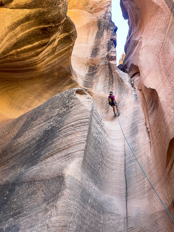
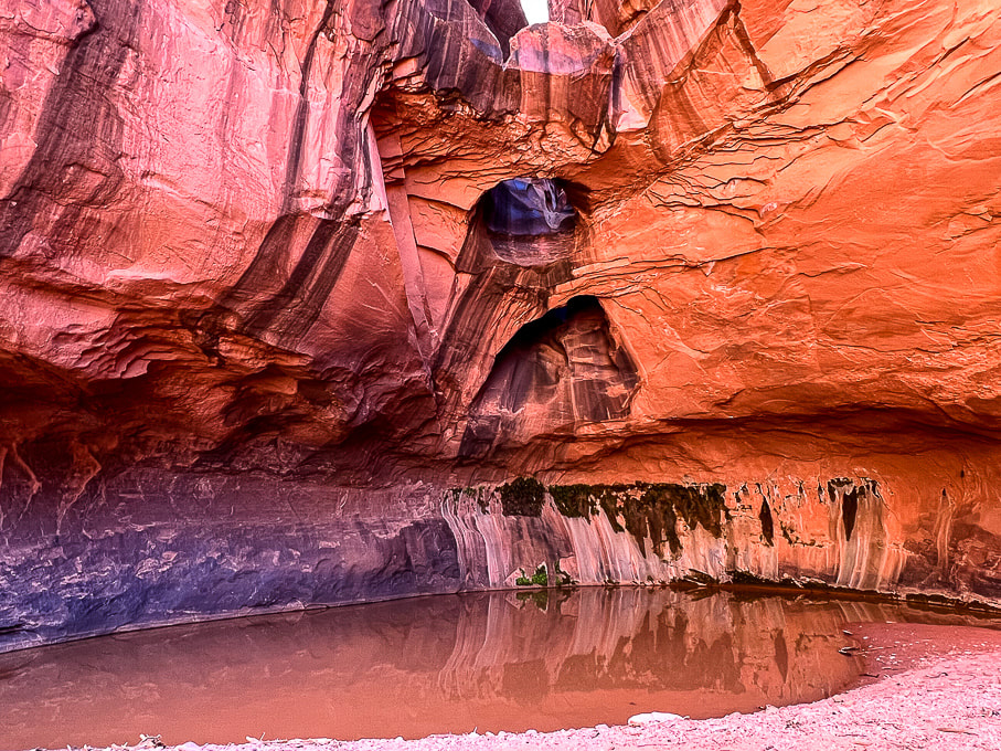
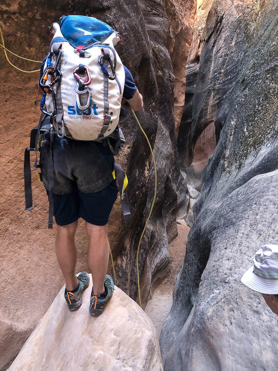
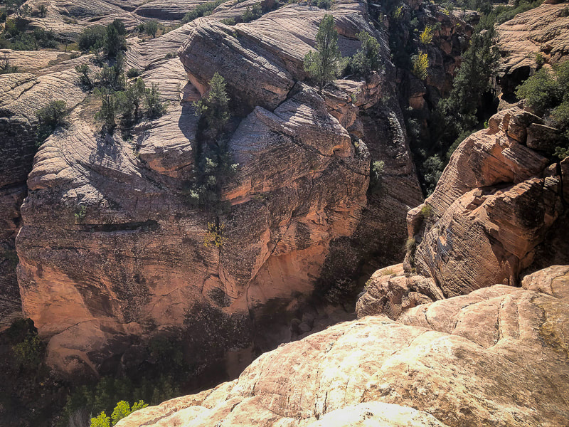
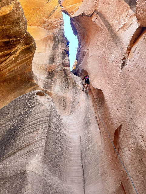
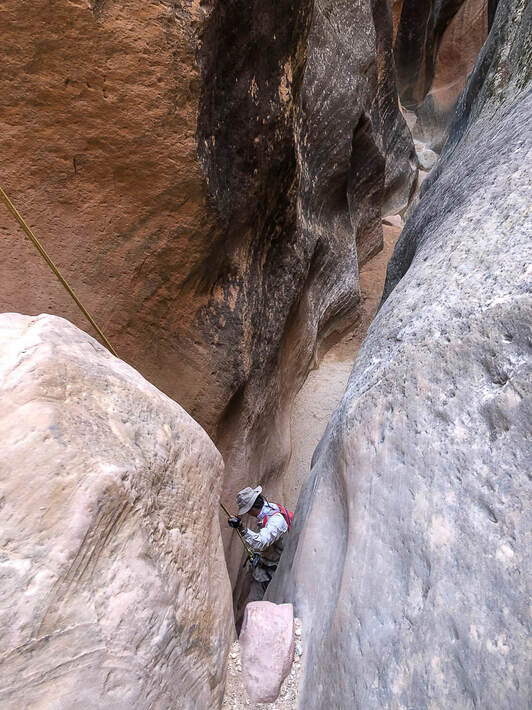
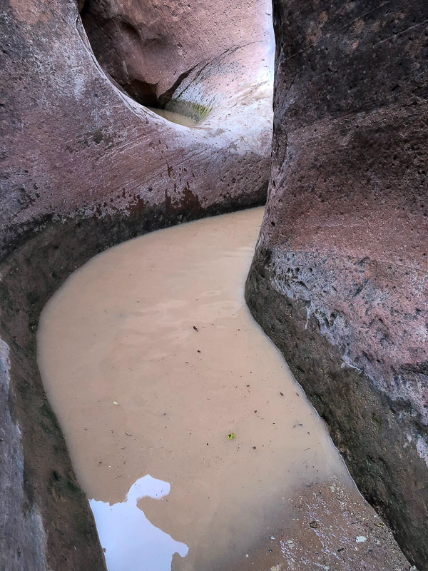
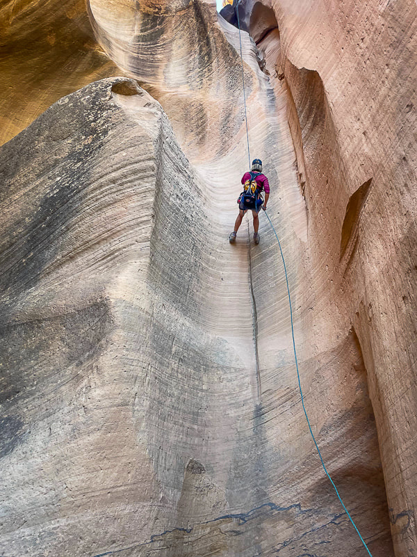
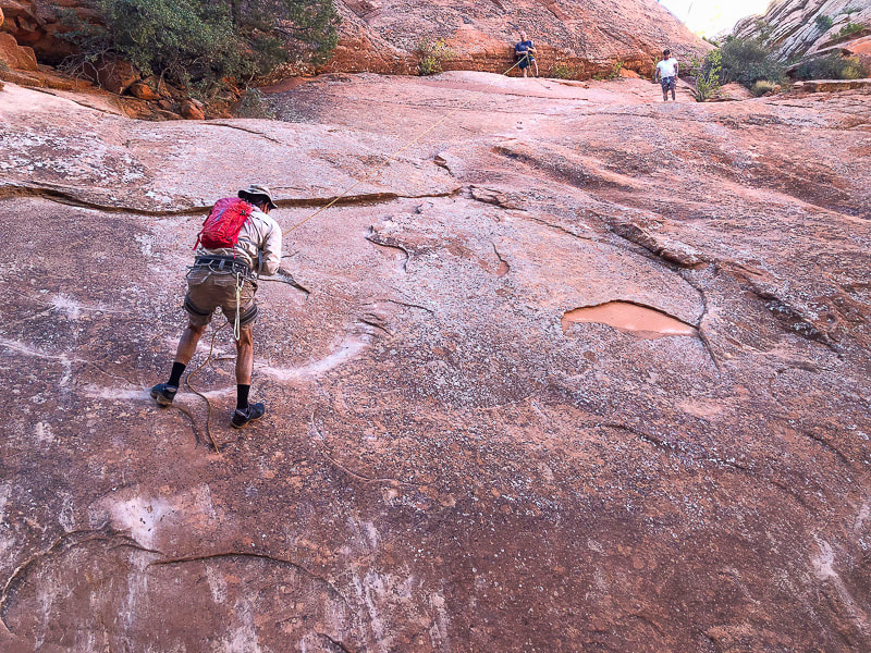
A drop into the stained and polished Navajo Sandstone slot in this picturesque "beginner" canyon. Sue entering Yankee Doodle on first and longest rappel, ~ 75 feet. photo by Fred Birnbaum Trip Stats Location: Dixie National Forest - Pine Valley Ranger District - ~ 1 hour drive northeast of St. George, Utah, near Leeds. Date: October 15, 2023 Canyon Rating: 3A/B1 (Technical, Dry and Pools, short time). Distance: ~ 2 miles roundtrip (~ 0.8 miles in canyon). Access: from FR031, a 25-mile dirt road connecting St. George and Leeds: best traveled with a 4 WD with moderate clearance vehicle, as this road can get rutted and rough after a rain. The canyoneering portion is just south of this forest road. Start: 37.2361, -113.4528 Links: Paragon Adventure/Canyoneering/Yankee Doodle Hollow Rope Wiki Geology:
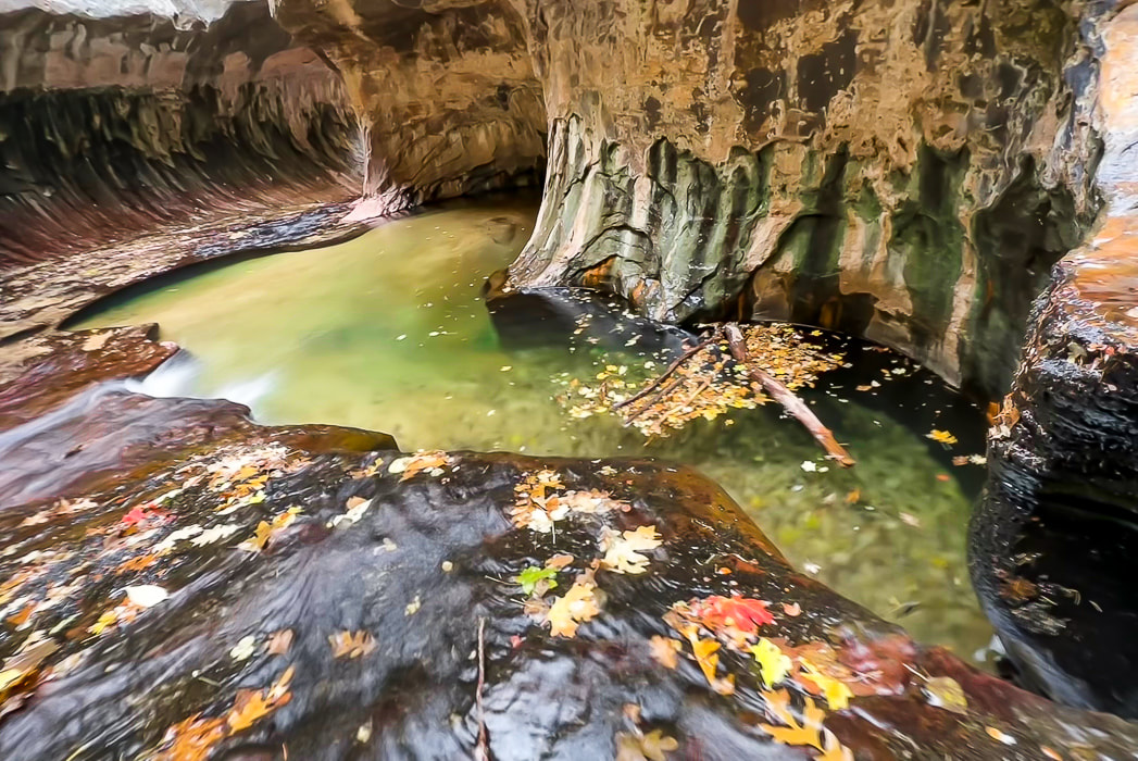
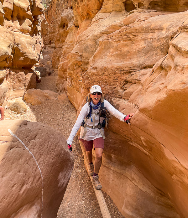
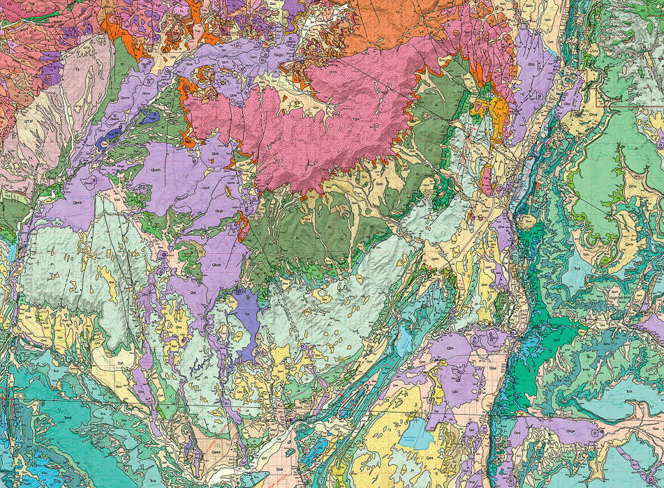
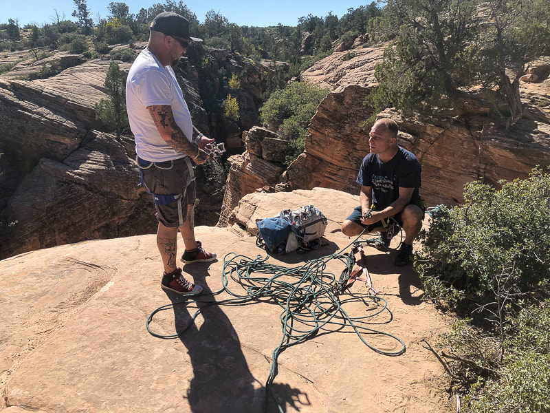
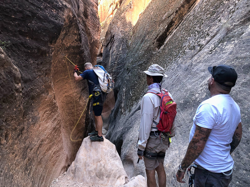
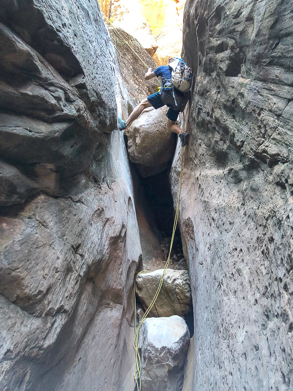
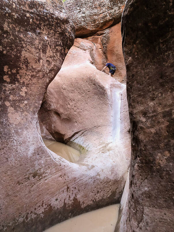
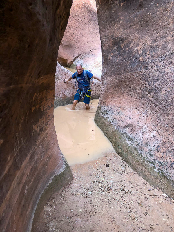
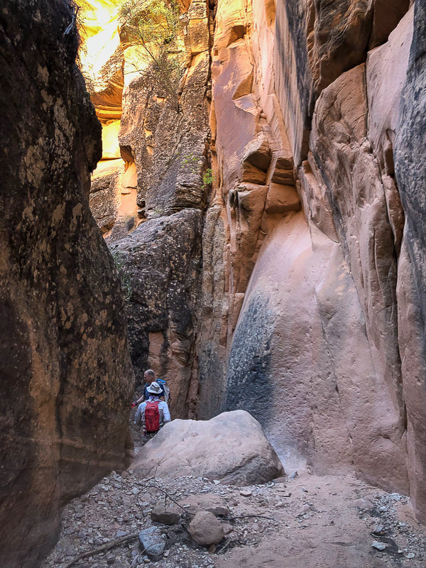
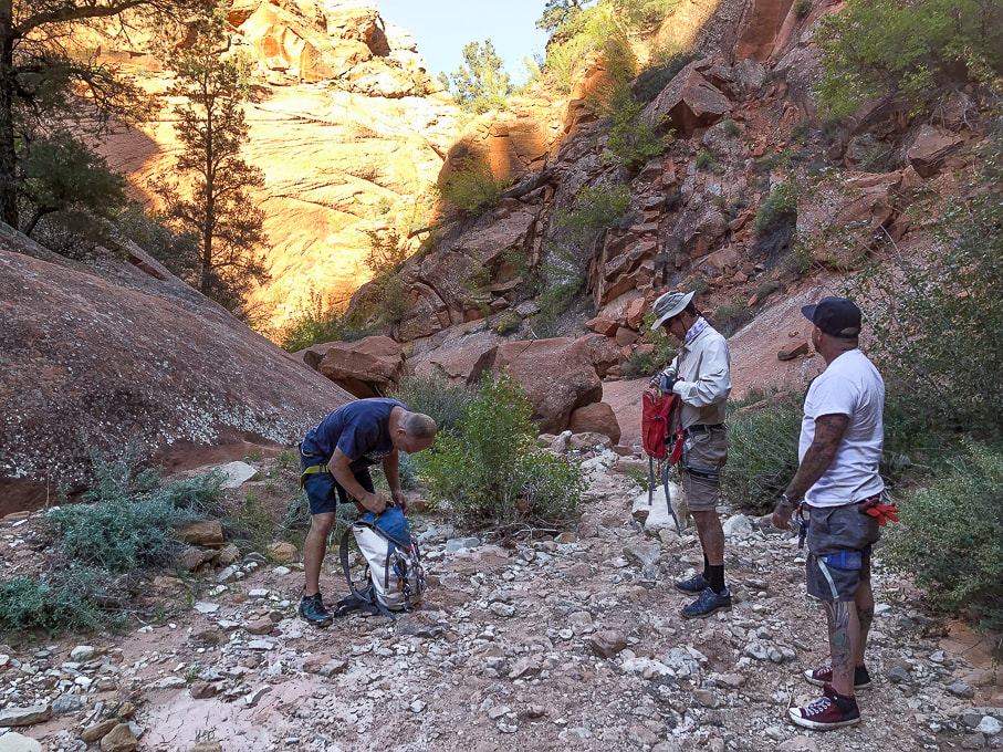
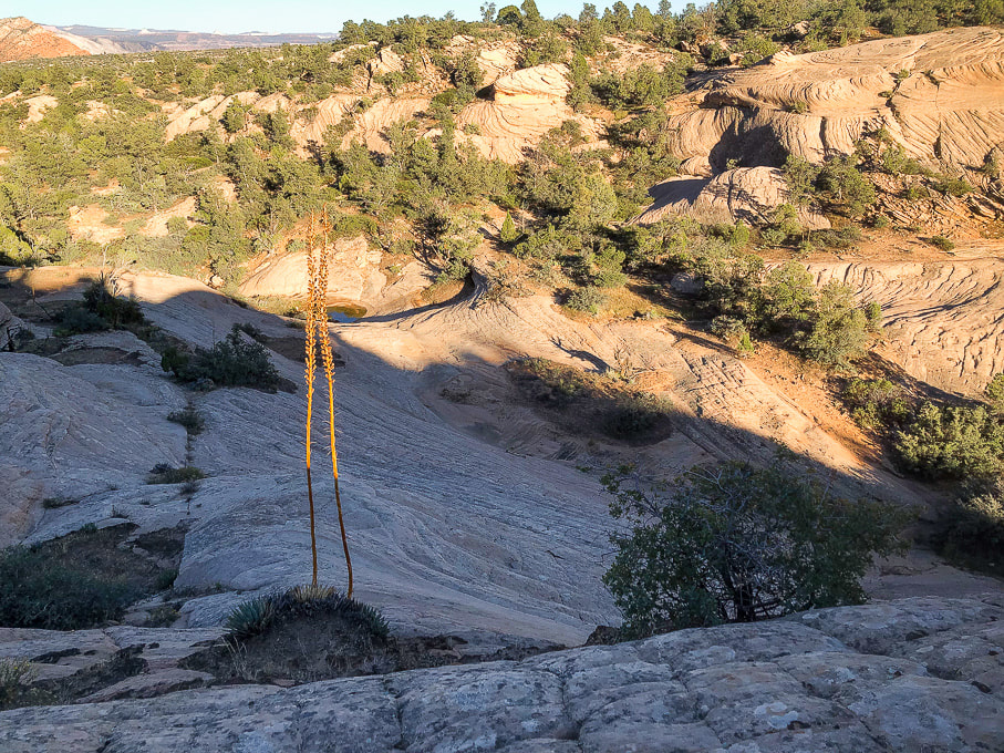
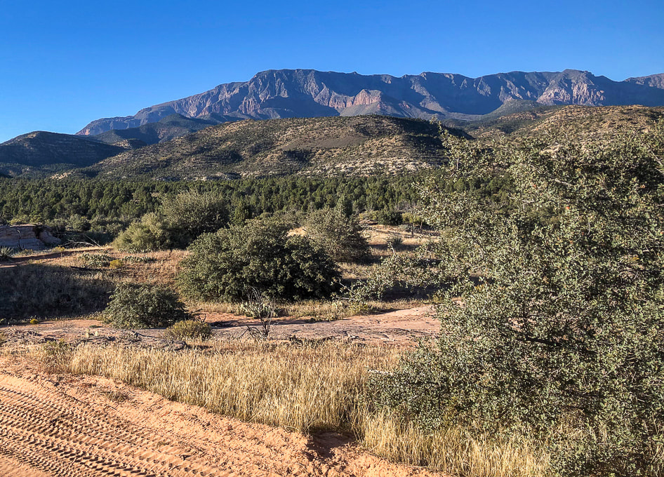
Related Posts Brian gets the ropes ready on the next rappel anchor. Our Trip This time Fred and I decided to "leap" out of our comfort hiking zone and try something more challenging: canyoneering! Although Yankee Doodle Hollow is rated as a "beginner" canyoneering hike, rappelling - especially the first drop into the canyon - was a challenge for us. This brief foray into these beautifully-polished and sinuous narrows rated as one of our favorites for 2023. Also on my list of favorites is the "Subway" - Left Fork of North Creek in spectacular Zion National Park, another journey into rock carved by water. My friend Brian from CrossFit Dixie has been canyoneering in this area of southern Utah, including Zion. He invited me on previous canyoneering trips but I was always too intimidated to go. He guided us on this short foray, setting up the ropes on the rappel anchors and instructing us on how to control the rope in our rappel device. He got us all set up with our harnesses and locking carabiners. Brian's friend Jorey, who had never rappelled before, joined us. The joy on his face when he completed the first long rappel into the canyon and overcame his fear of heights was priceless. He was so afraid to take the initial "leap" into the void. Fred and I had learned climbing techniques on a guided Grand Teton hike, but I was still pretty nervous. Canyon Origins Not sure how this canyon got its name. Was it named by miners in the area, or Mormon Leeds settlers? Yankee Doodle Hollow Creek originates from the highlands under the cliffs of the Pine Valley Mountains. This area of southwestern Utah is complicated geologically-speaking, with uplifts, gravity slides, compressional structures (uplift), extensional structures (faults), and more. One look at the Geologic Map of St. George area and you might agree. So many rock units from Permian time (300 million years ago) until present. Although a shorter and shallower canyon compared to legendary Zion canyons, Yankee Doodle Hollow still has the pretty curved and smooth cross-bedded walls of spectacular Navajo Sandstone - one of nature's works of art. You don't have to get a permit or arrange for shuttles between canyon entry and exit points, like you have to do in Zion. After we had completed all of the down-climbs we did a Class 3 steep slick rock scramble out of the canyon, slightly rubber-stained from many climbing shoes, as it opened up to the left. The Class 2 path up to the rim was discernible. If you keep going past this exit point, you continue walking down Yankee Doodle Hollow, you intersect with Heath Wash, where you would take a left (north) onto Heath Trail, which takes you back to FR031. Fun stuff! Glad Brian finally got me out there. Hopefully we can do more canyoneering....but Fred and I always default to the above-ground adventures! Thank-you Brian for getting us out of our Comfort Zone! Push the envelope - Keep on Exploring! A portion of the GEOLOGIC MAP OF THE ST. GEORGE AND EAST PART OF THE CLOVER MOUNTAINS 30' X 60' QUADRANGLES, WASHINGTON AND IRON COUNTIES, UTAH by Biek, R.F., et al. The pink rock unit at top-center of photo is Pine Valley Mountains (quartz monzonite laccolith). The Jurassic Navajo Sandstone is the light-green unit that presents as a kind of semi-circle around the base of Pine Valley Mountains, a much older unit, that is the main rock seen in Zion National Park. The City of St. George is located at the bottom of the map. We are going to be down there soon - WOW! Jorey (canyoneering newbie) left, and Brian on the right, getting us all set up. The first (and only) long rappel into the canyon, ~ 75', with two anchors. Photo by Fred Birnbaum Brian getting next down climb ready. Fred on a short rappel. Canyon exit: steep smooth sand stone on the left, fractured rock falls on the right. Pretty steep slick rock on the exit. Wandering around afterwards in Brian's RZR side-by side ATV. Pine Valley Mountains (monzonite porphyry laccolith) to the north. It's highest point is Signal Peak at 10,369'. Reference
Biek, R.F. 2010. Geologic Map of the St. George and East Part of the Clover Mountains 30' x 60' quadrangles, Washington and Iron Counties, Utah. Utah Geological Survey.
4 Comments
Christie Hallman
12/9/2023 06:39:49 pm
Wow! You two are so inspiring, talented, and amazing!!! The way you capture your adventures in words and photos are top notch! Stay safe and keep on sharing💪🏼😍😊
Reply
Linda Paul
12/10/2023 09:05:03 am
You're proving that it's never too late to learn new tricks. Stunning images, as usual.
Reply
Leave a Reply. |
Categories
All
About this blogExploration documentaries – "explorumentaries" list trip stats and highlights of each hike or bike ride, often with some interesting history or geology. Years ago, I wrote these for friends and family to let them know what my husband, Fred and I were up to on weekends, and also to showcase the incredible land of the west.
To Subscribe to Explorumentary adventure blog and receive new posts by email:Happy Summer!
About the Author
|
