|
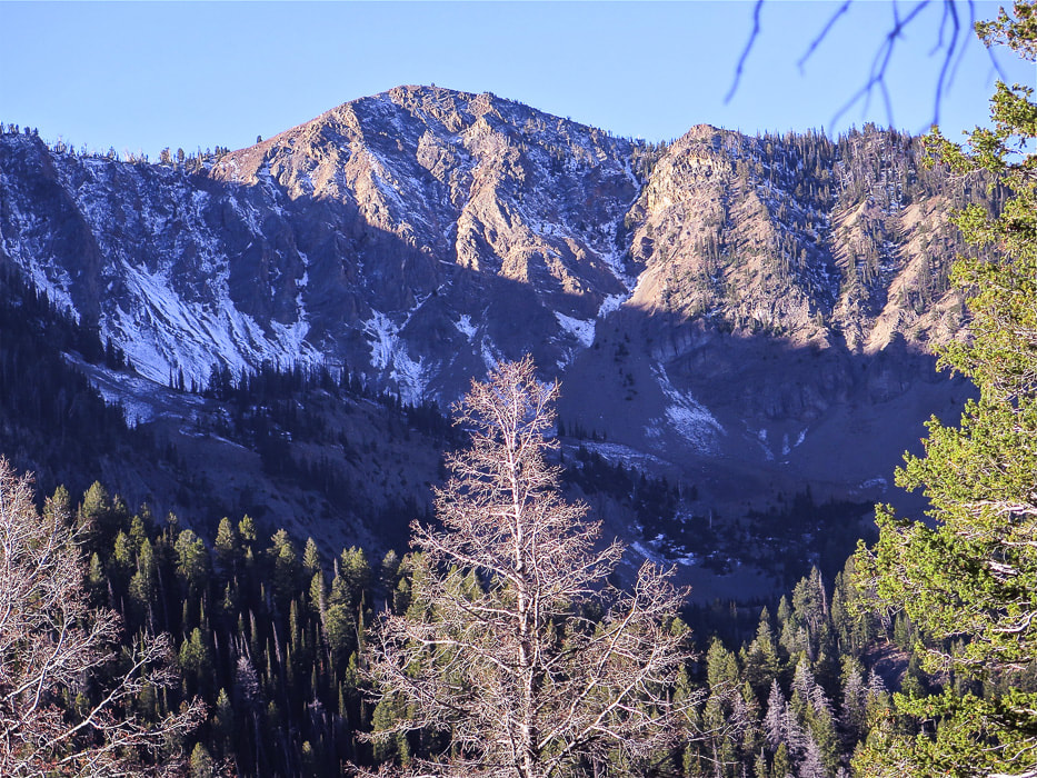
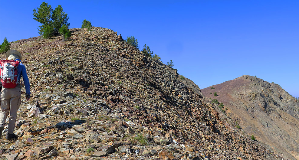
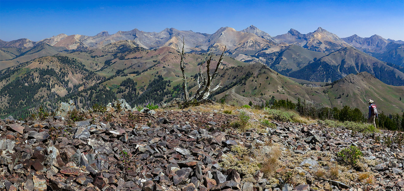
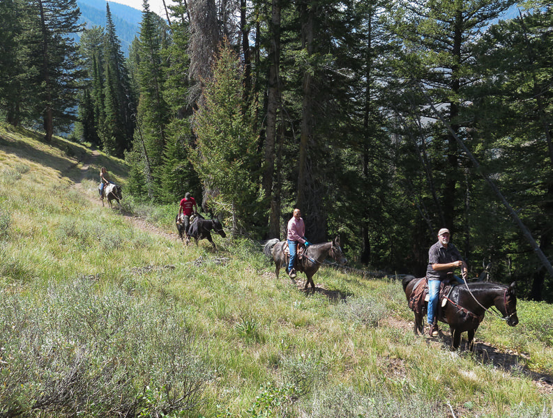
Navigate off Pioneer Cabin Trail's beaten path to walk on Johnstone's rocky east ridge for a massive view of Idaho's rugged Pioneer Mountains. We returned to this hike we dedicated to the memory of our great friend Henry Brown. Johnstone Peak, 9,949' from Pioneer Cabin Trail near Ketchum, Idaho Walk across talus field on hike to Johnstone Peak with view of Pioneer Mountains
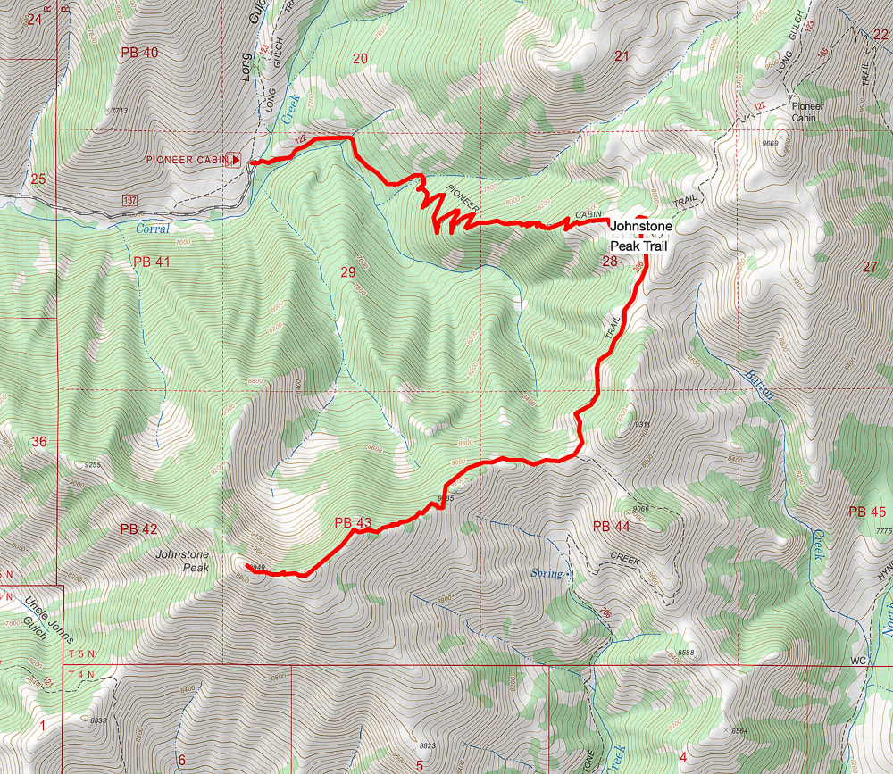
Trip Stats Location: Western Pioneer Mountain Range near Ketchum, Idaho in the Sawtooth National Forest. Great views of the raw and rugged main crest of the Pioneers await as you traverse the ridge to the bare talus summit of Johnstone. Distance/Elevation Gain: 5.3 miles out = 10.6 miles roundtrip. Trailhead = 6,950'; Summit = 9,949'. Elevation gain = 3,000'. Difficulty: moderate Class 1, moderate-strenuous Class 2 scrambling with minimal exposure on ridge and talus slopes. Summit: 43.7170 -114.2324 Maps: Cal Topo 7.5' interactive map, our GPS tracks (below), Sun Valley, Idaho Trail Map - www.adventuremaps.net Hiking Directions:
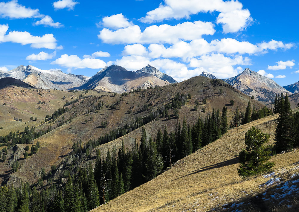
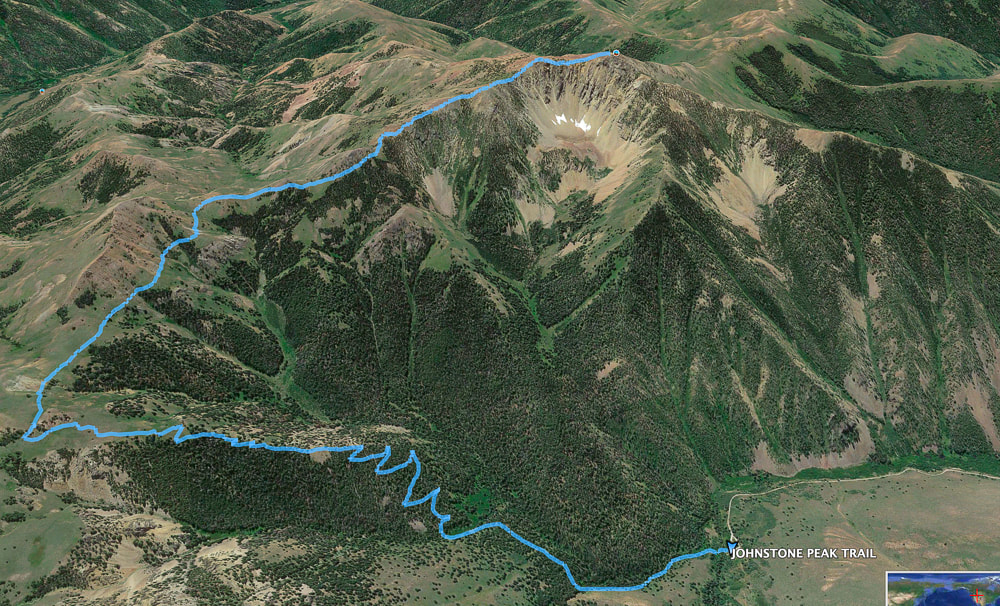
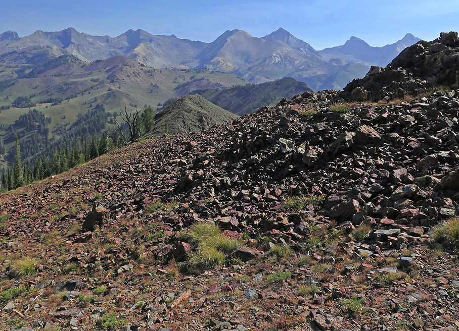
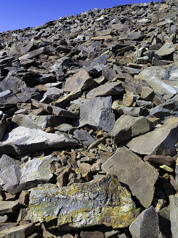
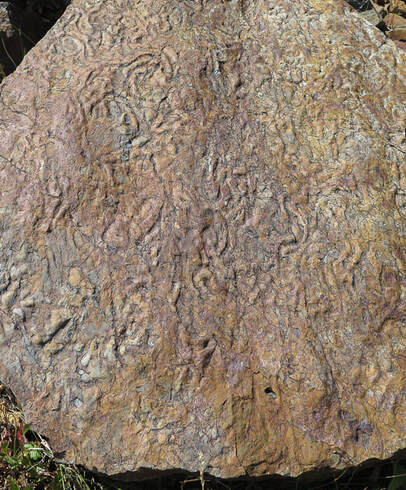
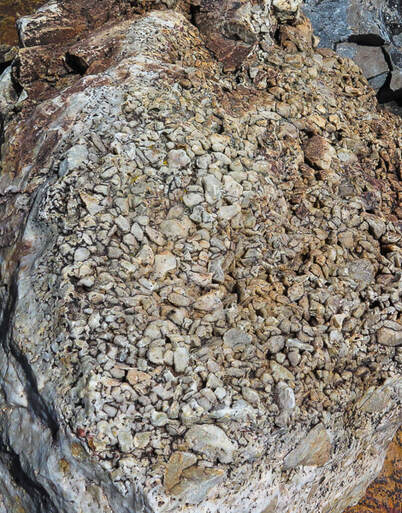
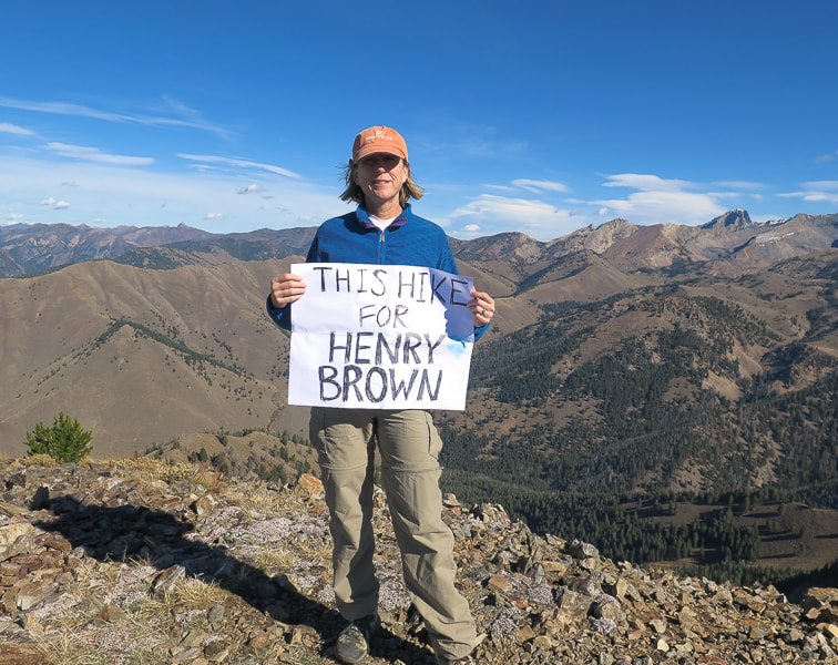
Driving Directions: From Sun Valley, Idaho, travel ~ 3.5 miles northeast up Trail Creek Road. Turn right at Corral Creek and travel on gravel road 3.7 miles to Pioneer Cabin Trailhead. Latest date hiked: August 29, 2020. Geology: Paleozoic sedimentary rocks (Permian and Pennsylvanian - 323 - 248 Ma): shale, chert, sandstone, carbonaceous mudstone and limestone of the Snaky Canyon Formation and Sun Valley and Oquirrh groups. On Johnstone's east ridge looking east to main crest of Pioneer Mountain Range. Goat Mountain far left horizon. Our GPS tracks Our Hike There are several ways to get up to Johnstone Peak, an almost 10,000-footer near Ketchum, Idaho. Its summit is in view for most of the way when approaching it from the north on Pioneer Cabin Trail where the final 1,000-foot gain involves route-finding on a faint, unmarked and rocky trail. At the top, we met two people who had ascended from Bear Gulch, to its south. It's an inspiring peak to us, not only for the breathtaking views of the main Pioneer Mountain crest, but also for remembering our friend Henry Brown. In 2016, we dedicated this hike to Henry because of his love for Idaho's wilderness (This Hike for Henry Brown).
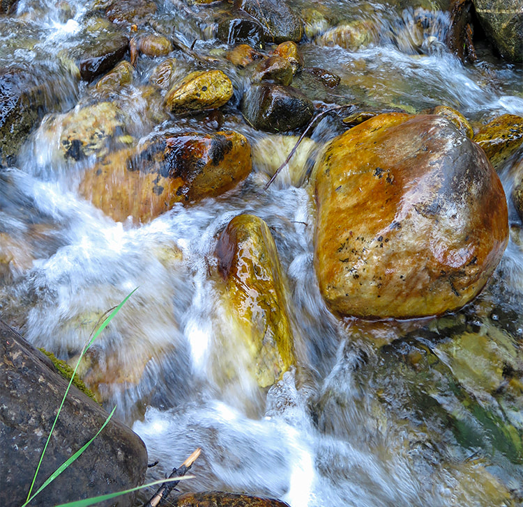
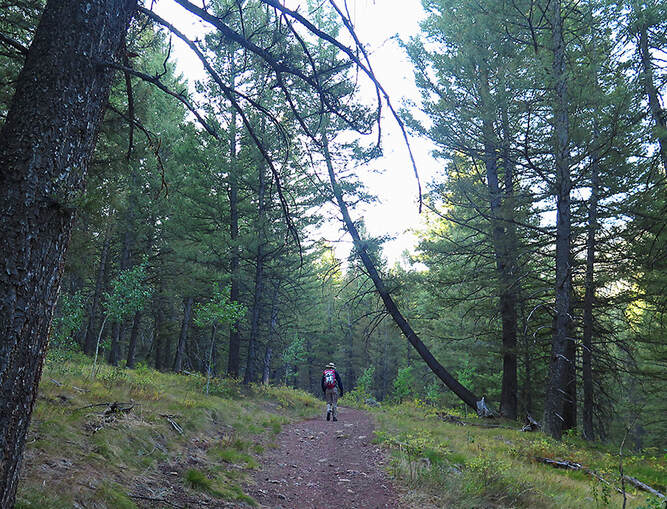
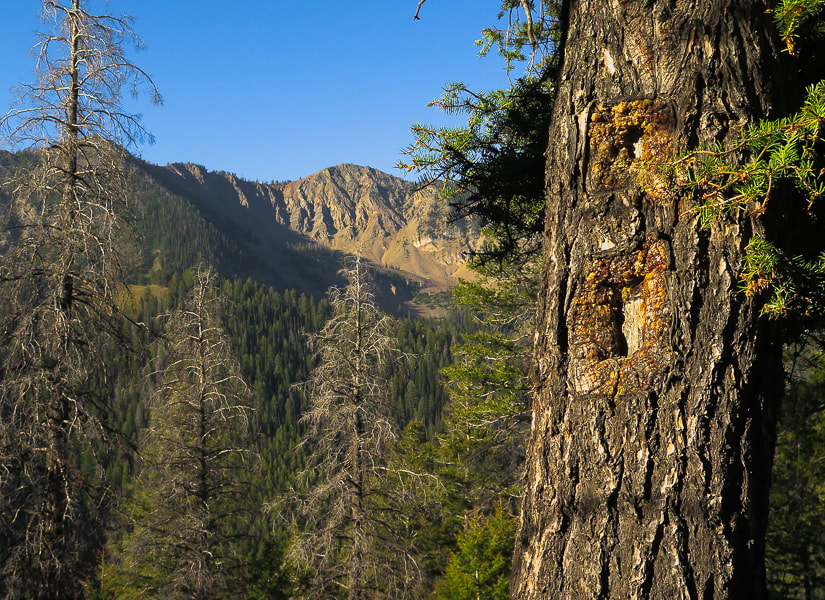
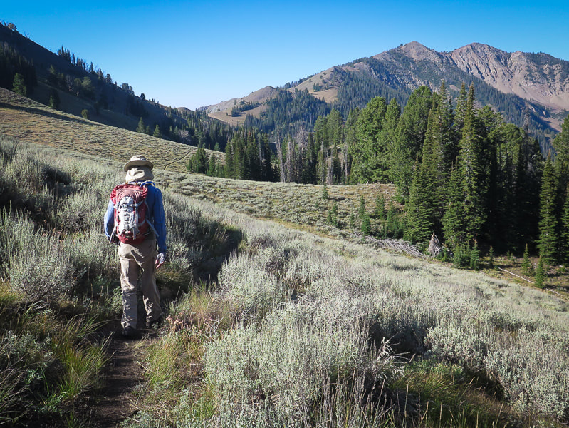
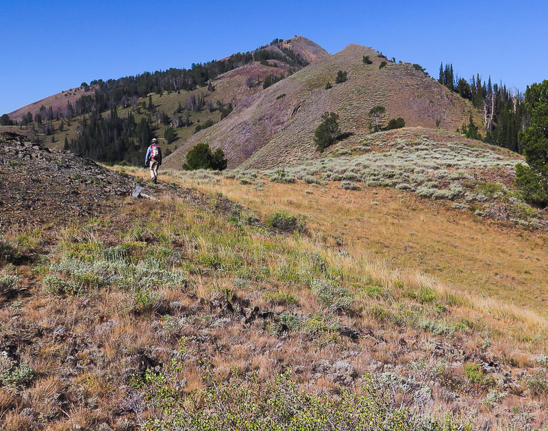
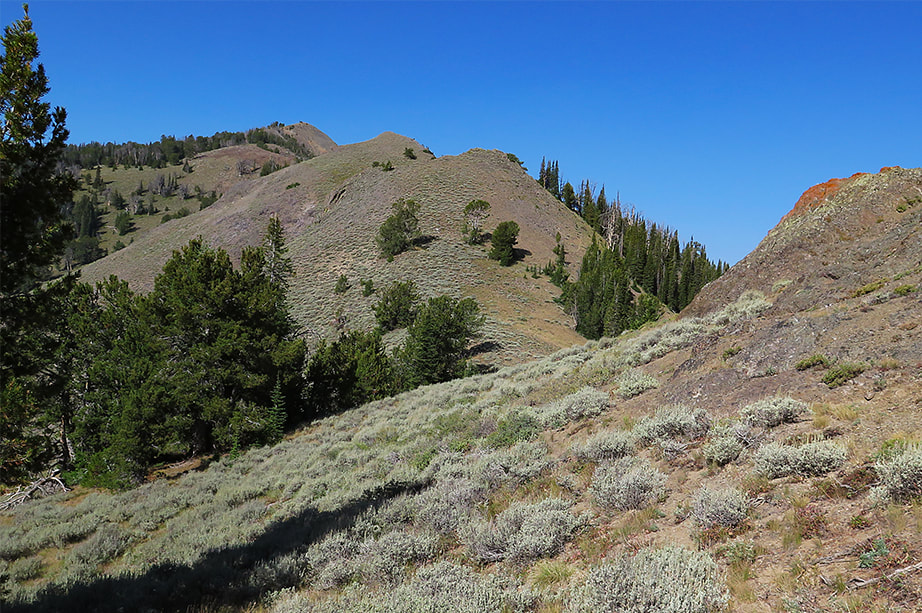
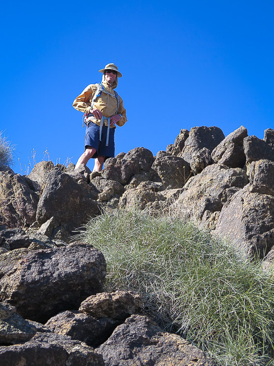
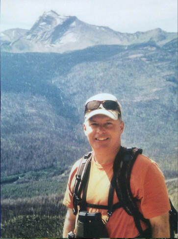
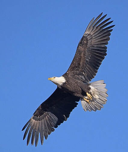
Corral Creek near Pioneer Cabin Trailhead First two miles of hike through shady forest Reach ridge for first glimpse of Johnstone Peak and its northern-facing steep rock chutes Trail blaze (marker) on tree at right On the one-mile stretch of Johnstone Creek Trail with Johnstone Peak in view Beginning of Johnstone's east ridge climb after one mile on Johnstone Creek Trail View of Johnstone's summit is blocked by highest point on the horizon, however trail goes over this A faint trail extends towards Johnstone's east ridge after the saddle at Johnstone Creek Trail is reached, just before its descent. The westward 1.6-mile climb to the summit first traverses the shady north side of the ridge, and then because of the northern steep chutes, it switches to the south side, going over a few talus fields. The summit is one large stable talus pile. Having done this hike a few times before, we know now to stay close to the ridge; when it begins to pull you to the south, keep west at about 260 degrees. The trail passes over a large talus field of a "pseudo peak"; and upon mounting it, you see Johnstone's summit across yet another talus field. Faint trail (in foreground) heading west up Johnstone's east ridge; it goes through the trees on the right and then on the top/left side of highest prominence on the left. View of Pioneer Mountains to the northeast O! Lovely talus field - at least it is stable! Some gorgeous textures and colors Just when you are done climbing high points, the real summit is still on the horizon (Johnstone on right) Except for a few stunted trees, the summit is bare and exposed, but it rises far above everything else, marking the area between the Wood River Valley and famous Mt. Baldy's ski mountain to the south and central Idaho's peaks to the north. Four years ago, after the first dusting of snow, Fred and I stood on Johnstone's summit with a sign proclaiming "This Hike for Henry Brown". Henry, in his mid-50's had passed in August from lung cancer. He was a West Point grad, avid outdoorsman and excellent bow and rifle hunter, and had spent his last years in Hailey, south of Ketchum in the Wood River Valley. It was especially hard for Fred to lose his great friend, one that had shared his passion for wilderness and taught him valuable hunting skills. When Henry had moved back to Idaho, there was hope for many hikes in Idaho's beautiful wilderness. But these never happened and we were reminded that life can be cut short. More than ever we know that we are lucky to be able to walk the forests and rocky summits of Idaho and look forward to the next American West adventure. In 2016, as we were on Johnstone's summit remembering Henry, an eagle flew high above, a symbol of Henry's spirit. And this time again as we were descending, an eagle, soaring effortlessly above the northern side of the peak made us stop as it passed by and out of sight. I had said the next time we summited Johnstone, we would be looking for an eagle. Once again we saw one, and felt Henry's presence. Summit of Johnstone looking at Pioneer Mountain Range to the east In 2016 on Johnstone Peak, in Henry Brown's "neck of the woods" We will always remember Henry's friendship and his love of Idaho's wilderness Johnstone Peak: This Hike for Henry Brown (2016)
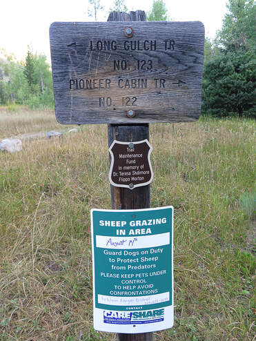
Descending Johnstone with main crest of Pioneer Mountains to the northeast Pioneer Cabin Trail Pioneer Cabin built in 1938 by Sun Valley Company for the Alpine Touring branch of the ski school Our GPS tracks from Pioneer Cabin trail head to Johnstone Peak summit, and Elevation Profile (profile from summit to trailhead) - 3,000' gain. Total mileage out and back = 10.3 miles. click on map and profile for larger PDF images References
Geologic Map Of Idaho. Geologic Map of Blaine County. Idaho State University. https://digitalatlas.cose.isu.edu/counties/blaine/geomap.htm Trailing of the Sheep Festival - History of the Festival https://trailingofthesheep.org/about/history/ Wust, S. L., Link, P.K. 1988. Field Guide to the Pioneer Mountains Core Complex, South-Central Idaho.
4 Comments
10/14/2020 11:40:04 am
As always, Sue, your descriptions and images are fabulous. This brought back some nice memories. I haven't been on the Pioneer Cabin Trail since 2002. I remember discovering the trail back in the 1980s before it became a highway. It's a trail I always head for very early in the morning to avoid the crowd (and the summer heat). I've often stared at that turnoff for the Johnstone Creek trail. Now I know.
Reply
Linda,
Reply
Valerie
10/14/2020 12:27:16 pm
So glad you guys made it up there again! Awesome that the eagle flew over. I'm sure your friend Henry was smiling too! Thanks for sharing the story of your dear friend. Always wonderful to hear about your adventures!
Reply
Val,
Reply
Leave a Reply. |
Categories
All
About this blogExploration documentaries – "explorumentaries" list trip stats and highlights of each hike or bike ride, often with some interesting history or geology. Years ago, I wrote these for friends and family to let them know what my husband, Fred and I were up to on weekends, and also to showcase the incredible land of the west.
To Subscribe to Explorumentary adventure blog and receive new posts by email:Happy Summer!
About the Author
|
