|
Dry Creek and Shingle Creek trails, close to downtown Boise, are relatively lush with vegetation and a great place to run, hike or bike in all seasons.
Trip Stats:
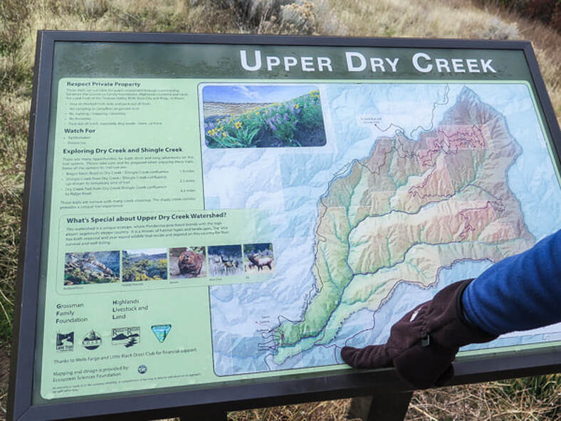
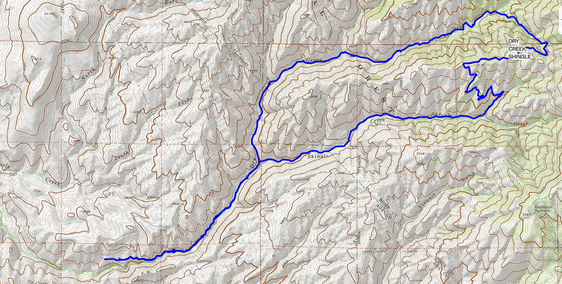
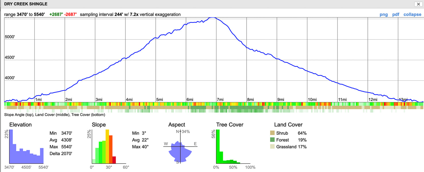
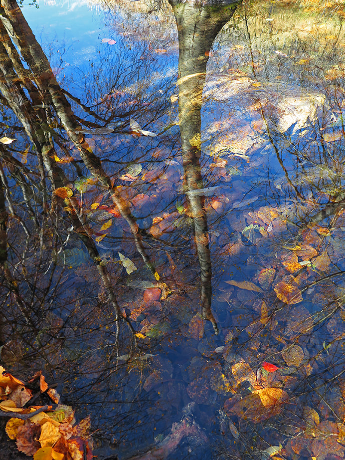
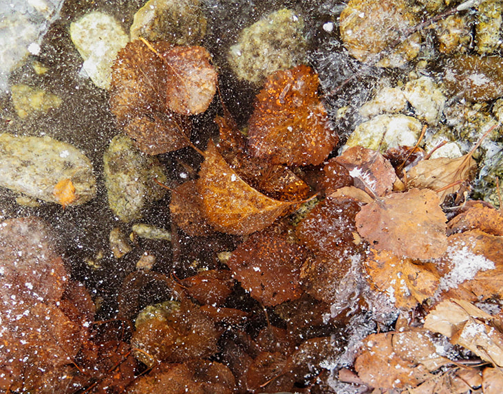
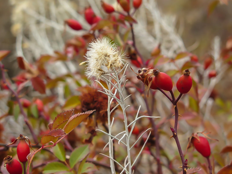
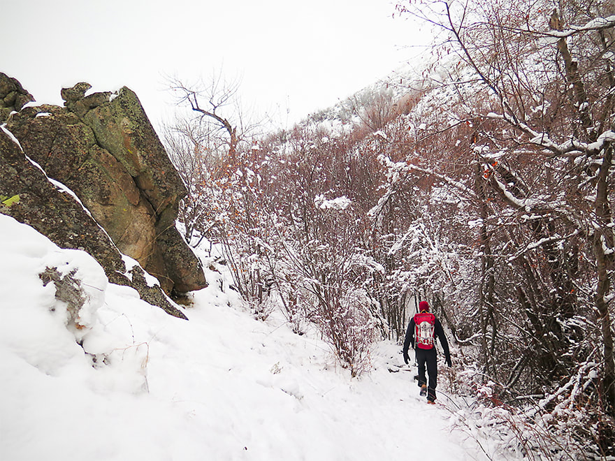
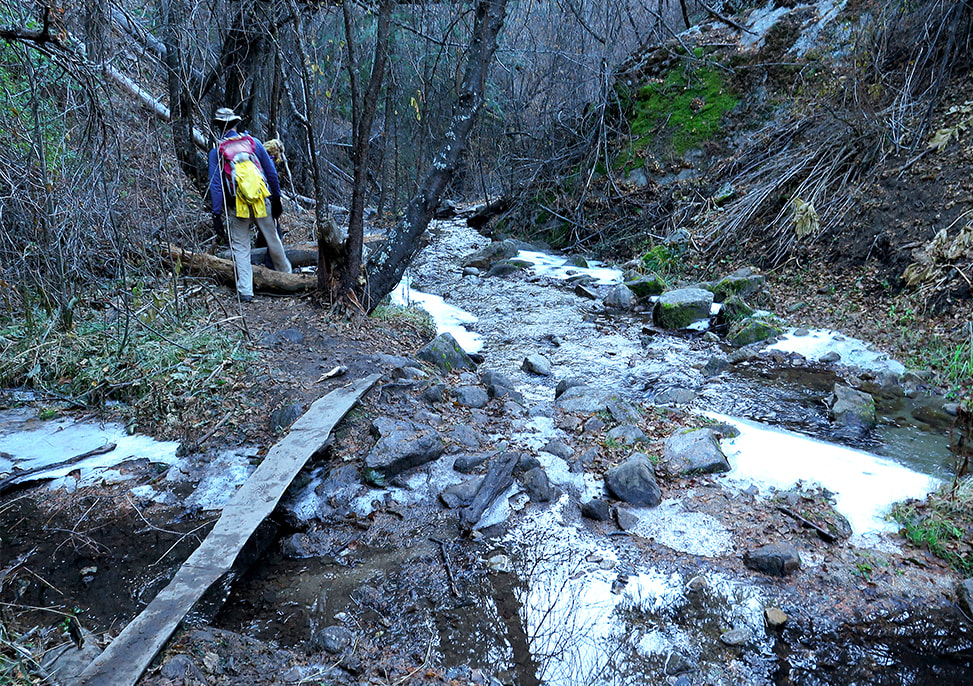
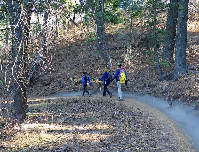
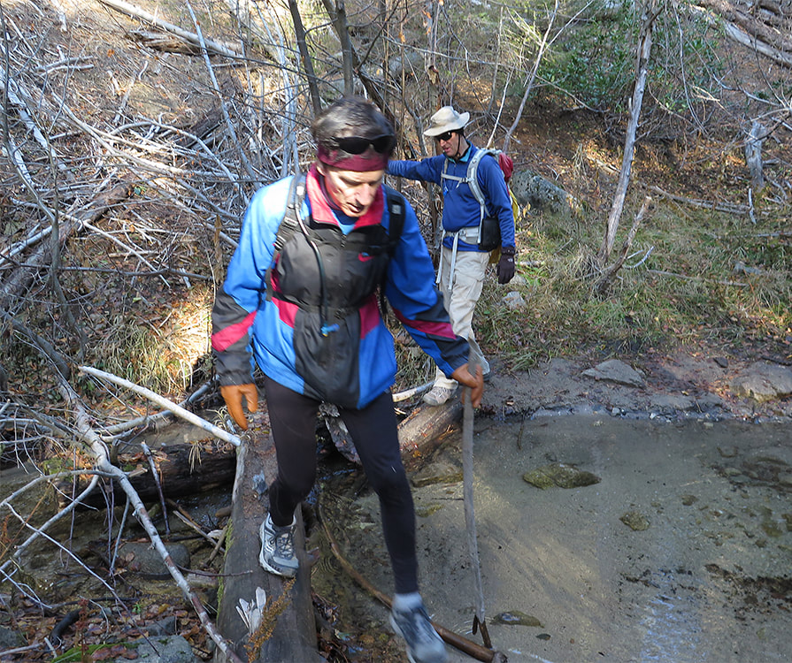
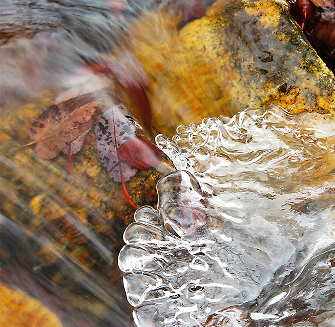
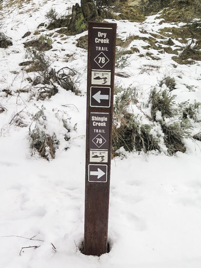
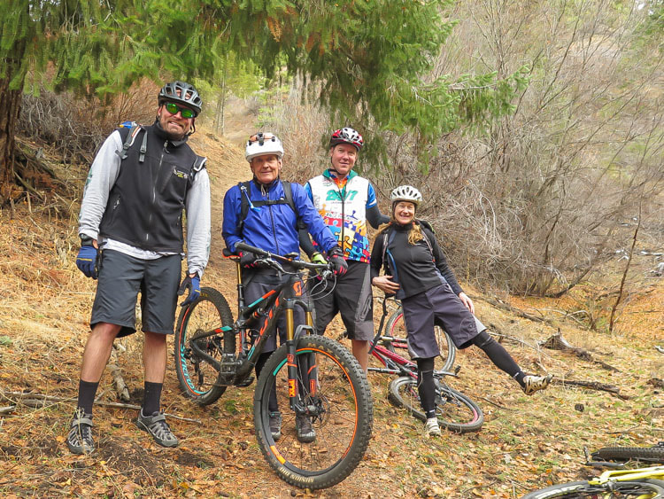
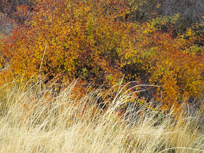
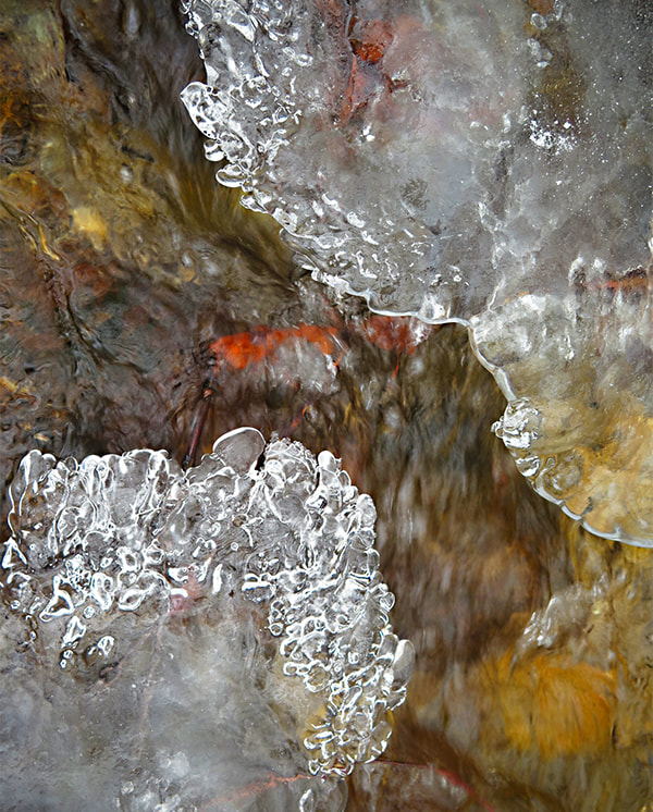
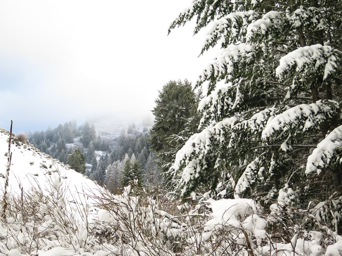
Interpretive sign illustrating trails in the Dry Creek Experimental Watershed, monitored by Boise State University Dry Creek/Shingle Creek Loop from "lower" trailhead - 13.88 miles total click on map for larger image Elevation profile for Dry Creek/Shingle Creek loop in Boise foothills: Shingle Creek first half of profile, Dry Creek second half of profile Highest elevation near spur road that leads to Boise Ridge Road = 5,540' Our hike The Dry Creek/Shingle Creek loop is a unique trail close to Boise for so many reasons. There's a surprising variety of vegetation as you climb 2,000 feet. You get a beautiful creek ecosystem and a ridge ecosystem. You make many stream crossings over Dry Creek Trail with bunch grasses, sagebrush and Woods Rose by your side as you begin, only to end up above this in a breezy forest of Ponderosa Pine and Douglas Fir overlooking the Treasure Valley. We did this hike in November and still heard the sounds of rushing water and boots sloshing through shallow crossings in the creek. Dry Creek in December - Boise Foothills We start at the trailhead just beyond MM 4 along N. Bogus Basin Road. The trailhead sign illustrates the features and map of the Upper Dry Creek Watershed. For the first 1.9 miles, the elevation gain is just under 300 feet. After the intersection, the trail climbs another 1,780 feet to the highest point at which it intersects with the Boise Ridge Road. The feature rock in this watershed is granite from the Atlanta Lobe of the Idaho Batholith; weathered outcrops stand along the Dry Creek Trail. This intruded during Cretaceous time - 75 - 85 million years ago. I've seen large pieces of muscovite along this trail. Autumn along Upper Dry Creek Dry Creek Trail after intersection with Shingle Creek At the Dry Creek/Shingle Creek intersection 1.9 miles from the trailhead, we hiked up Dry Creek Trail #78 (to the left) and came back on Shingle Creek Trail #79 to complete the loop. The topography got steeper as we neared the ridge. Most bridges across the creek are flat-topped logs especially helpful during elevated spring run-offs. Numerous waterfalls and moss, a forest thick with trees and brush make this Boise foothills hike enjoyable. Such a beautiful riparian environment so close to home! Dry Creek Heading down from Shingle Creek Trail and Dry Creek Trail intersection After 2,000 feet of climbing, the ridge lies at ~ 5,600 feet in elevation, where the sound of water rushing over rocks is replaced by wind flowing through Douglas Fir and Ponderosa Pine branches. At the trail junction sign, a short 0.4 mile spur continues to the southeast to join Boise Ridge Road. To continue to Shingle Creek, head on Trail 79 to the west. Soon the Treasure Valley is seen through the opening in the canyon. Many crossings over Dry Creek Trail junction sign at top of Ridge 0.4 miles from Boise Ridge Road Fun bikers near where Shingle Creek Trail starts to climb After zig-zagging down Shingle Creek Trail #79 from the ridge, the trail finally meets up with Shingle Creek, a narrower creek compared to Dry Creek. A couple of runners whizzed by us. Shortly after that, we met up with 4 bikers (above) that weren't doing the whole loop but were having a great time. This part of the trail seems a bit long as it returns to lower elevation ecosystem of perennial bunch grasses and rabbitbrush. Last week, Boise was stuck in a nasty temperature inversion. For those who don't know what that is, click on the preceding link, but if you are from the Treasure Valley, you definitely know what an "inversion" is! The smart folks drive to Bogus Basin to get above it for warmer temps and blue skies. On a separate hike during an inversion, we hiked far enough along Dry Creek to see blue skies. We didn't hike the entire loop this time, but seeing blue when we looked up made us feel a little better - not to mention the beauty of snow on branches, and the feel of walking on soft snow. Heading northeast up Dry Creek Trail
1 Comment
2/4/2024 08:14:14 am
I wanted to express my gratitude for your insightful and engaging article. Your writing is clear and easy to follow, and I appreciated the way you presented your ideas in a thoughtful and organized manner. Your analysis was both thought-provoking and well-researched, and I enjoyed the real-life examples you used to illustrate your points. Your article has provided me with a fresh perspective on the subject matter and has inspired me to think more deeply about this topic.
Reply
Leave a Reply. |
Categories
All
About this blogExploration documentaries – "explorumentaries" list trip stats and highlights of each hike or bike ride, often with some interesting history or geology. Years ago, I wrote these for friends and family to let them know what my husband, Fred and I were up to on weekends, and also to showcase the incredible land of the west.
To Subscribe to Explorumentary adventure blog and receive new posts by email:Happy Summer!
About the Author
|
