|
Standard route for Grand Canyon North Rim to South Rim in one day (North Kaibab Trail and Bright Angel Trail) Distances/Elevation gain/loss: North Kaibab Trail = 14 miles/5,700 feet loss. Bright Angel Trail = 9.4 miles/4,350 feet gain. Note: I've seen various estimates of "net elevation gain" that are higher. Since there is not any major regaining of lost elevation, I am estimating gain by difference between Colorado River and south rim. Elevations: north rim = 8,200 feet, south rim = 6,850', Colorado river = 2,500'. All Fired up! As Pat Benatar's song goes, we're "All Fired Up" for next week's Grand Canyon rim to rim hike! Her song is a fitting accompaniment to the goblet squat video below. Fred and I needed elevation training, so we went to Palm Springs, my old stomping grounds, and hiked the Skyline Trail for a gain of 4,700 feet, the same Bright Angel Trail gain on the south rim of the Grand Canyon. We encountered too much snow at 8,000 feet in the Pine Valley Mountains just to the north of St. George, preventing a good elevation gain. My last post, Grand Canyon Rim to Rim In One Day: Training in St. George, Utah, explains how we got creative with emulating distance and elevation. We did great on the Skyline; we're now ready for the big hike!
New goal: hike to the tram this October with some of our hiking buddies. Oh, the nostalgia and the beauty of this mountain! I'm grateful that I can still be hiking it 31 years later - let's say that the Advil this time was very helpful! La Verkin Creek Trail to Kolob Arch - Zion NP This long hike features attributes found in Zion National Park's main canyon, including an arch, sandstone cliffs and a river but without the throngs of people. It's in the northern Kolob Canyons section, has a spur trail to impressive Kolob Arch, and also meets up with the Hop Valley Trail, a route to the main Zion Canyon. We hiked 7 miles in to Kolob Arch and back for a total of 14 miles, the same distance as Grand Canyon's North Kaibab Trail. It drops down from the parking lot at Lee Pass Trailhead into the La Verkin Creek drainage. The same mileage as our Skyline Trail hike, but not nearly the same elevation gain. We've got one more training hike on Zion's West Rim Trail this week with Lindy and Jeff, and then we should be good to go for the Grand Canyon. We are lucky to have such inspirational places, some of the most beautiful on Earth, in which to train! Strengthening exercise for powerful hill climbing: Goblet Squats I have found that since I started doing CrossFit and working on strengthening my legs, I have more stability and power for steeper hiking. Goblet squats can be done with a kettlebell as well as two dumbbells, each resting on your shoulders. Strengthens your core (trunk) muscles, glutes and hips. Points to remember:
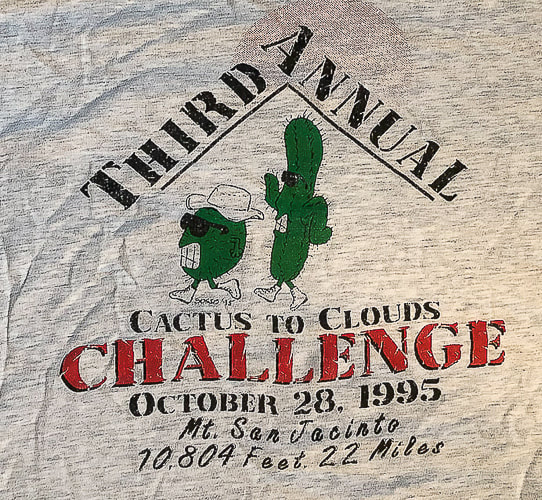
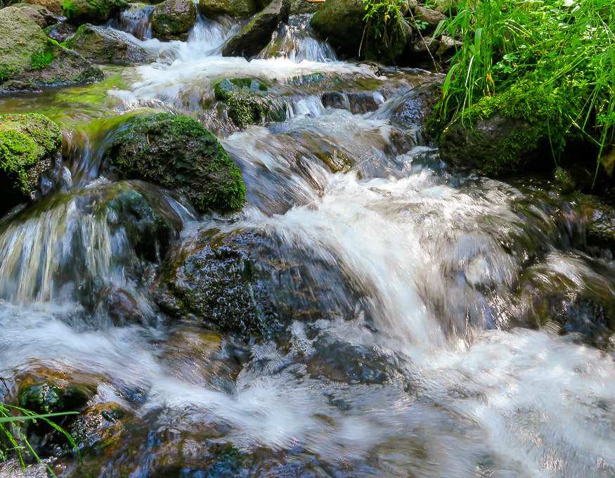
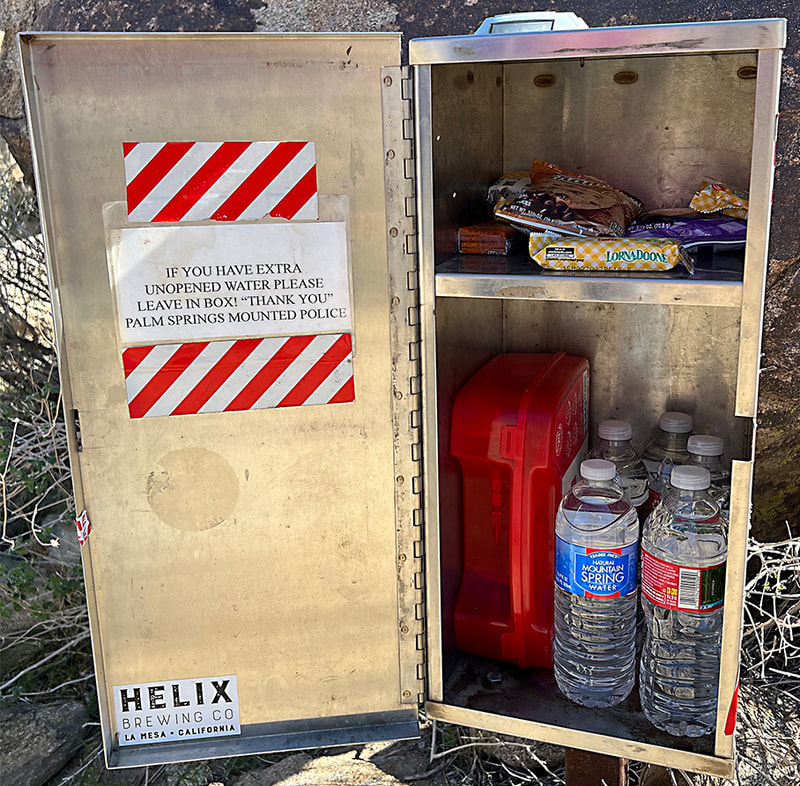
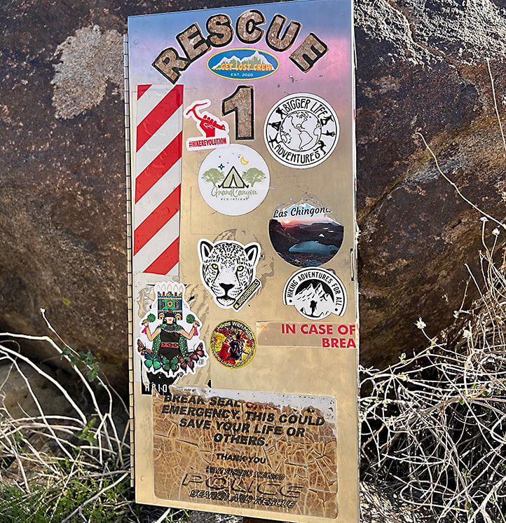
Forsyth Creek - Pine Valley Mountains in mid-May. It's a late spring here; ran into packed snow on the trail at 8,000 feet. Trees are just starting to bud. photos captured with my new Sony mirrorless camera. La Verkin Creek in Kolob Canyons section of Zion National Park. At the beginning of La Verkin Creek Trail - Kolob Canyons of Zion National Park. Jeff and Fred on La Verkin Creek Trail - Zion National Park. This morning was cold starting out - 31 degrees! Kolob Arch, 7 miles from Lee Pass on the La Verkin Creek Trail. La Verkin is the name of a nearby city between both entrances to Zion National Park. Origins for its name may have come from an alteration of the Spanish word for the nearby Virgin River -- la virgen. Mile #14 - on the way back to the Lee Pass trailhead! Beautiful Zion hike. Scott and Fred on the Skyline Trail overlooking Palm Springs and the Coachella Valley, California. Near the beginning of the Skyline Trail. Prepare before you go far on the Skyline! The steepest part is the "traverse" at the end of the hike. I have seen a person in serious trouble on one of our Cactus to Clouds hikes. Getting higher - overlooking Palm Springs. Oh beautiful yucca! At ~ 4,000-foot elevation on the Skyline looking at the final climb to the Palm Springs Aerial Tram on far ridge. One of the first views of the San Jacinto Wilderness, where the Skyline Trail that leads to the Palm Springs Aerial Tramway Mountain Station terminates on the ridge way up there! We are heading to the ridge on the right. Chaparral Yucca on the Skyline Trail with the Little San Bernardino Mountain Range across the Coachella Valley in the background. A good look at what is to come on the Skyline Trail. The tram station is just to the right of the arrow. Coffmans Crag, the white granite just below and to the right of the arrow, is a good landmark to see the final "traverse", a green and steep spot of trees to the left of it in this photo. The Skyline Trail is not one to be taken lightly. People have died on this trail. On one of our Cactus to Clouds hikes, a man caught up to us who had lost his hiking party. He was severely dehydrated - required a helicopter rescue. Left, right from top to bottom: Ribbon Wood tree (Adenostoma sparsifolium), Chaparral yucca, North Lykken trailhead sign, metal sign commemorating Jane Lykken Hoff, "trail boss" of the Desert Riders, contents of Rescue Box 1, Skyline warning sign, Rescue box 1, and boulder sign at the intersection of North Lykken Trail and Skyline Trail. Yucca and Ribbonwood trees. Celebrating long friendships with our hiking buddies in Palm Springs. I have known these friends for over 30 years! We have shared many miles on desert trails and many memories. Love you guys! from left to right: Scott, Vickie, Maria, Sue and Fred. Vickie, Maria and I are in the photo below - 31 years ago! The First Cactus to Clouds Challenge - October 1993
Summit of Mt. San Jacinto, 10,804'. From left to right: Sue Birnbaum, (don't remember his name), Roger Keezer, Maria Keezer, Ray Wilson, and Vickie Kearney seated in the middle.
4 Comments
5/16/2024 07:07:56 am
Yucca, yucca, yucca to you! Great accomplishments, both the longevity of the friend group and scaling your training torture. Those are the best photos I've ever seen of yucca blooms.
Reply
Hi Linda!
Reply
6/1/2024 09:55:34 am
Hi Sue! I love it when people's "training hikes" are as interesting as the event they're training for. This looks amazing, I've been interested in northwest Zion for a long time.
Reply
It's great to hear from you Larry! I guess I was so hyper-focused on being able to do rim to rim that I really didn't consider the training hikes as compelling. Note to self: don't take our beautiful southwest Utah hikes for granted!! I just feel lucky to even be walking on these trails.
Reply
Leave a Reply. |
Categories
All
About this blogExploration documentaries – "explorumentaries" list trip stats and highlights of each hike or bike ride, often with some interesting history or geology. Years ago, I wrote these for friends and family to let them know what my husband, Fred and I were up to on weekends, and also to showcase the incredible land of the west.
To Subscribe to Explorumentary adventure blog and receive new posts by email:Happy Summer!
About the Author
|


