|
In search of new routes and solitude on Lucky Peak, an historic mining district, amidst burgeoning Boise trail use.
Adelmann Mine in Boise River Wildlife Management Area Trip Stats
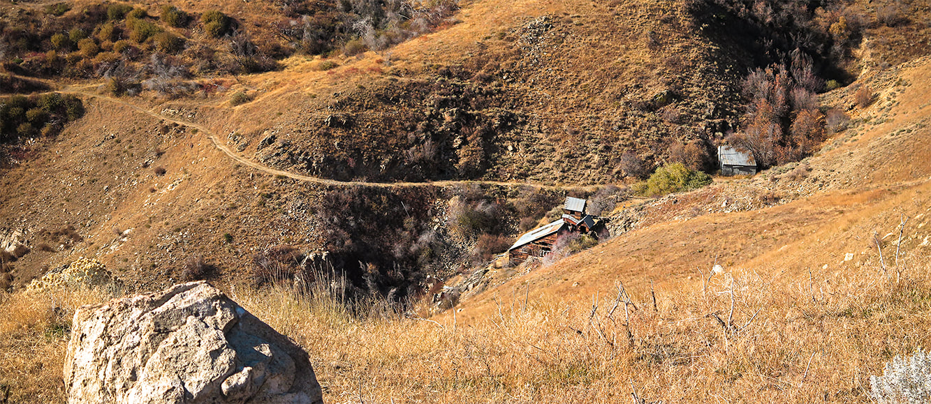
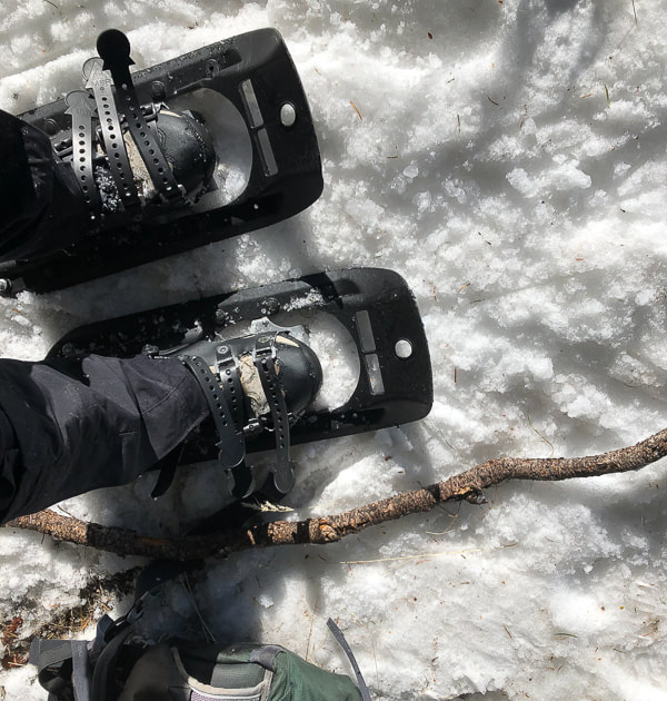
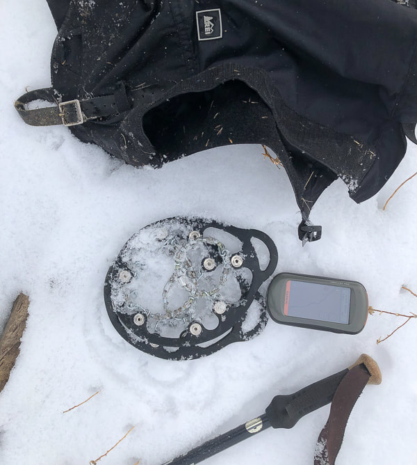
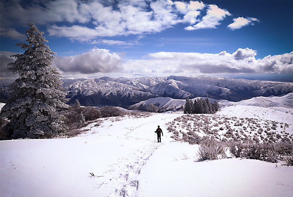
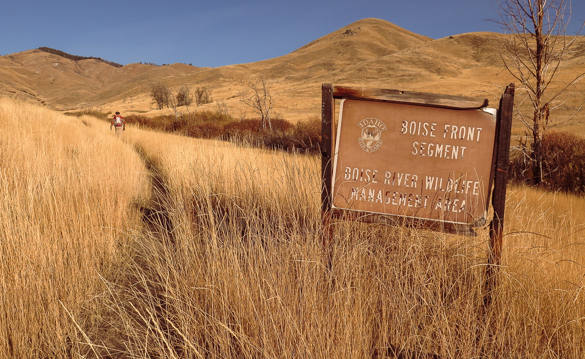
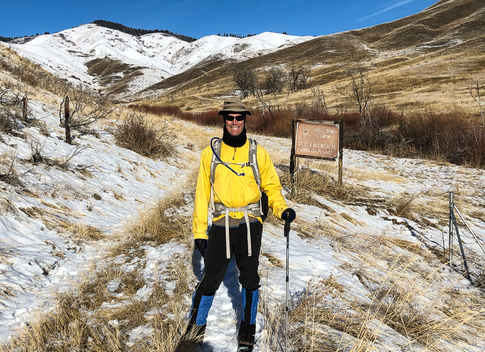
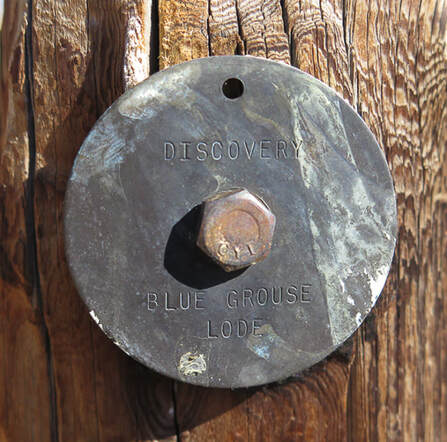
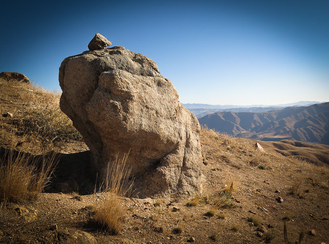
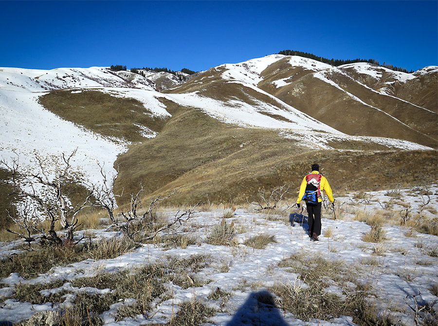
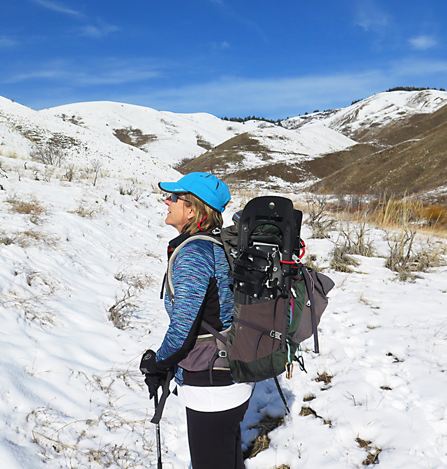
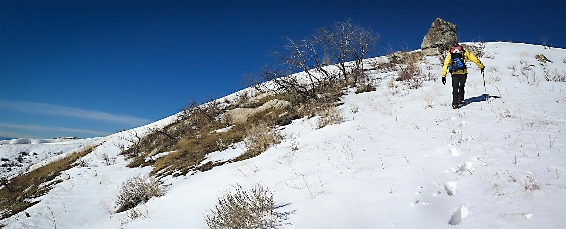
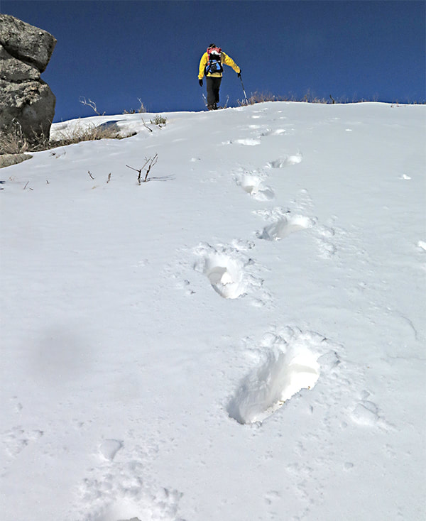
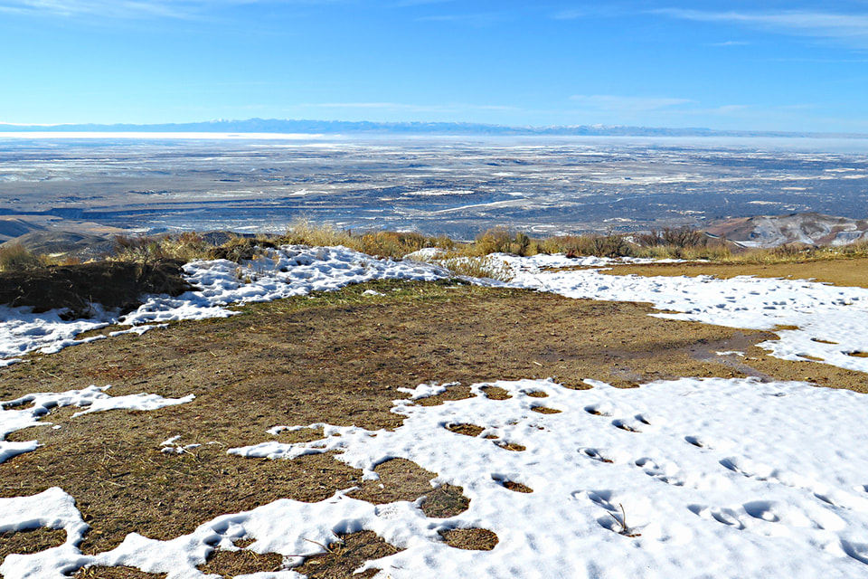
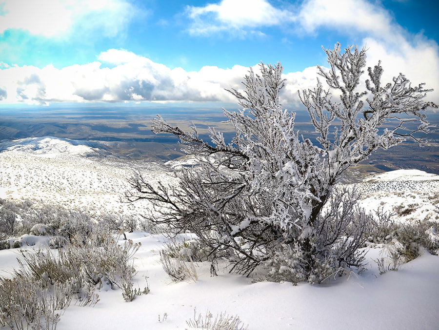
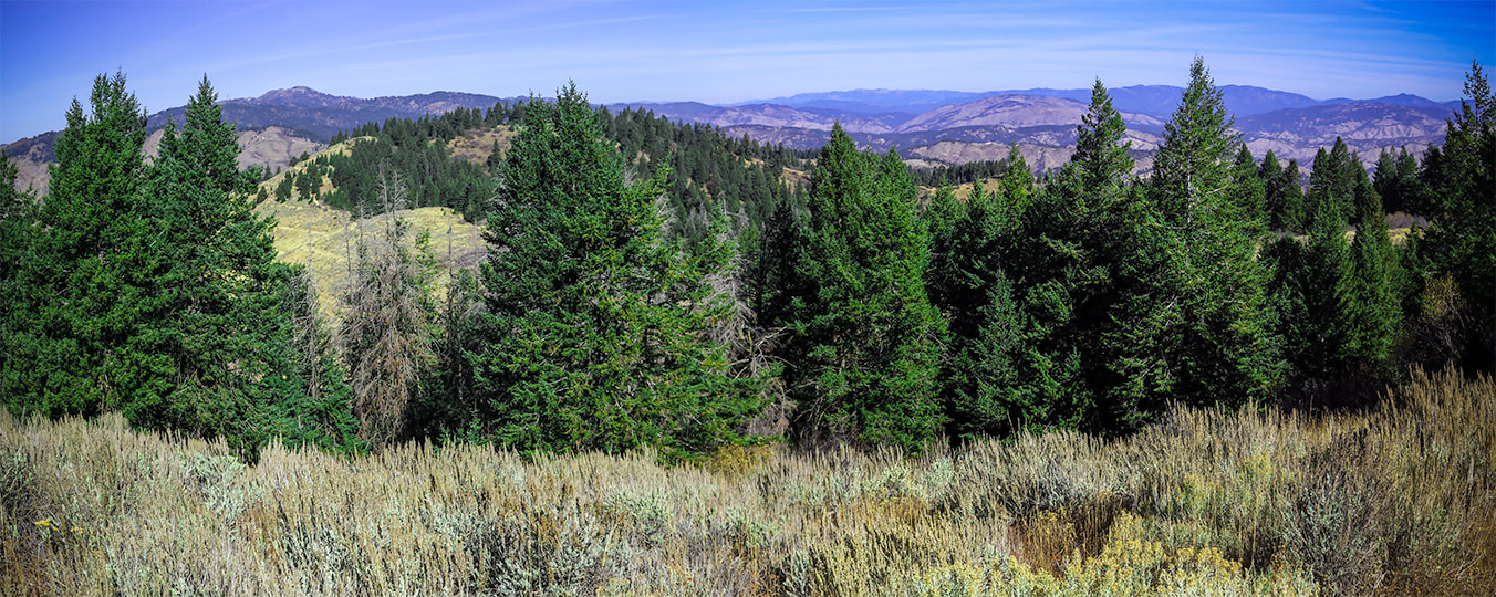
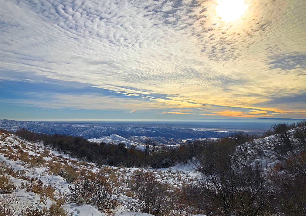
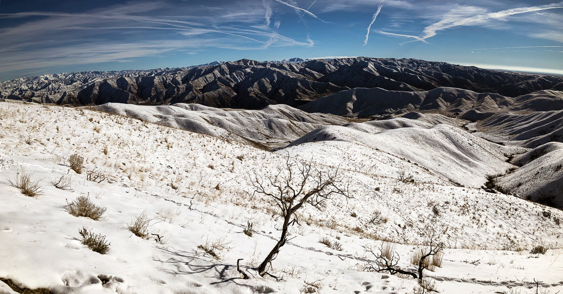
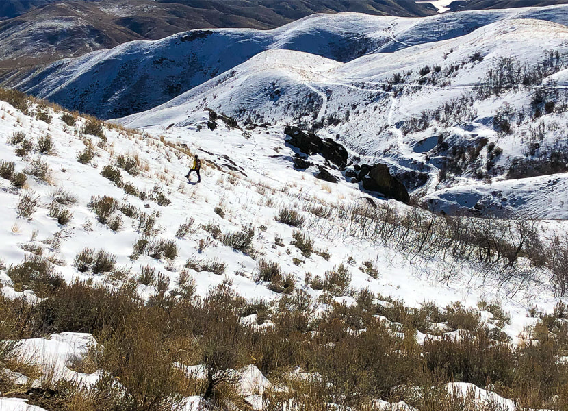
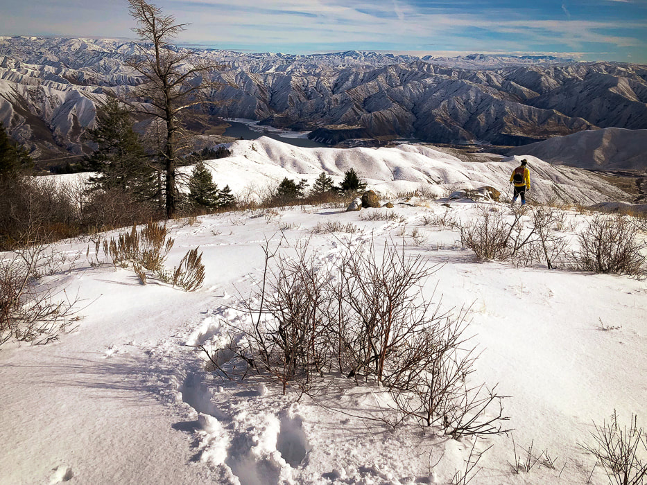
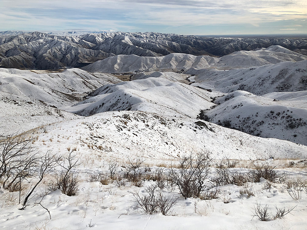
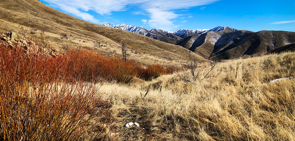
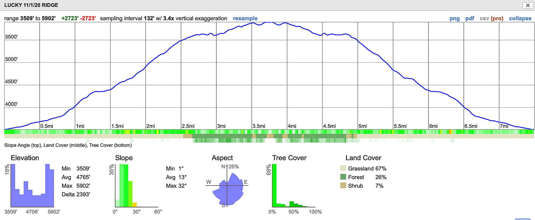
History of the Adelmann Mine Owned by the Adelmann brothers, one of which was Richard Adelmann, a German miner and Civil War Veteran who also built the Adelmann Building in downtown Boise at Capitol and Idaho Street in 1902. Gold was the primary commodity, followed by extraction of silver and zinc. The Adelmann Group was part of the Black Hornet District. The Black Hornet Mine is located directly south of the Adelmann Mine in Boise River WMA. The deposit was an underground vein in a host rock of Atlanta Lobe of the Idaho Batholith - two mica granite of Cretaceous age. A very thorough report by the Idaho Geological Survey includes Black Hornet Mine and Queen Mine from the Lucky Peak area: Site Inspection Report for Abandoned and Inactive Mines on Land Administered by the U.S. Bureau of Land Management in the Boise Resource Area, Idaho: Boise Foothills, Ada County, and Osborne Mine, Gem County Gear Snow boots, snowshoes, gaiters, GPS, Yaktrax Pro diamondgrip, walking pole. Helpful technique - The Rest Step When breaking trail up a steep snow slope, the rest step helps you to conserve energy and prevents your legs from getting too quickly fatigued. It is a rhythmical gait, resting momentarily with each step by putting your weight onto a straight back leg and letting your other leg swing forward. The idea is to decrease the use of muscles with every step and let your weight be supported by leg bones instead. Take small steps. REI snow travel techniques. Our Hike The ability to leave city life - temporarily - and get a taste of early 1900's mining life is one of the great advantages of hiking Lucky Peak. Even if you don't go to the Adelmann or Black Hornet mines, you can stumble onto some old rusted equipment, or an old mining claim like the one in the photograph below of the Blue Grouse Lode discovery. Lucky Peak, a.k.a. Shaw Mountain in Boise has been a "staple" hike for us the past 20 years because we gain a good amount of elevation - 3,000 feet - in 4.5 miles and it's close to home. With the influx of people moving into the Boise area and subsequent increased trail traffic, we have added four additional routes to its summit in search of more solitude. We call each route by a different name. There's the "backside" route from the Wilderness Management Area headquarters (Lucky Peak: The Ridge Less Traveled). There's two ridge hikes we use to hike and snowshoe. Then, there's the Pruett route, named after our friend and his two boys whom we took up one cold early spring day. Most photos on this post represent different hikes/snowshoe hikes up the same southeast ridge. This route is a steep ascent that overlooks the road to Adelmann Mine, often "crowded" with hikers. The primary purpose of the Boise River Wildlife Management Area is to "Provide winter habitat for mule deer and elk, and year-round habitat for other wildlife species." This WMA supports the largest wintering mule deer herd in Idaho. Elk sign is present, especially during the winter months. Once we saw a majestic bull elk silhouetted on the next ridge over, his large herd of cows watching us, then they disappeared over the ridge. The view of the mountainous Boise National Forest is spectacular most of the way, especially in winter. Boise National Forest peaks to the northeast At Trailhead: An early November 2020 hike (above), and a hike on 1/1/21 (bottom). Follow ridge to tree line - the highest point on the horizon is Point 5645, 2.7 miles from trailhead.
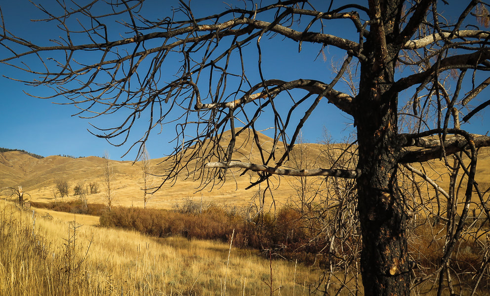
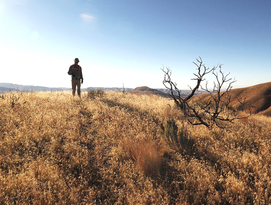
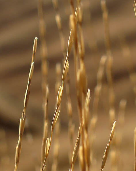
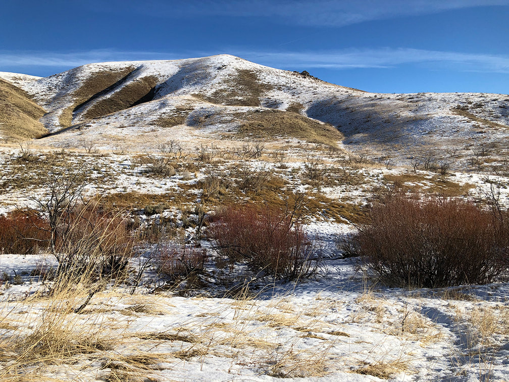
Native as well as invasive grasses carpet the valley the first 0.8 mile of the ridge approach. Signs of the 2016 Mile Marker 14 fire. Many sagebrush have been burned by the Mile Marker 14 Fire in 2016 which closed the Boise River Wildlife Management Area at that time.
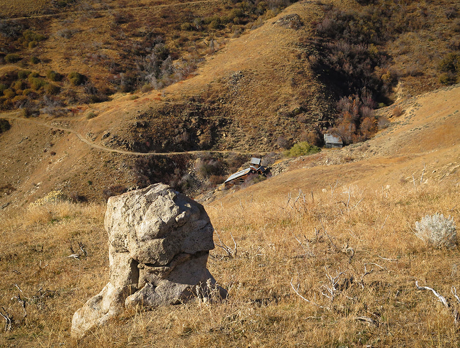
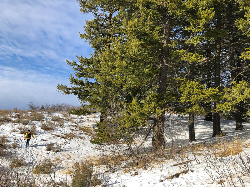
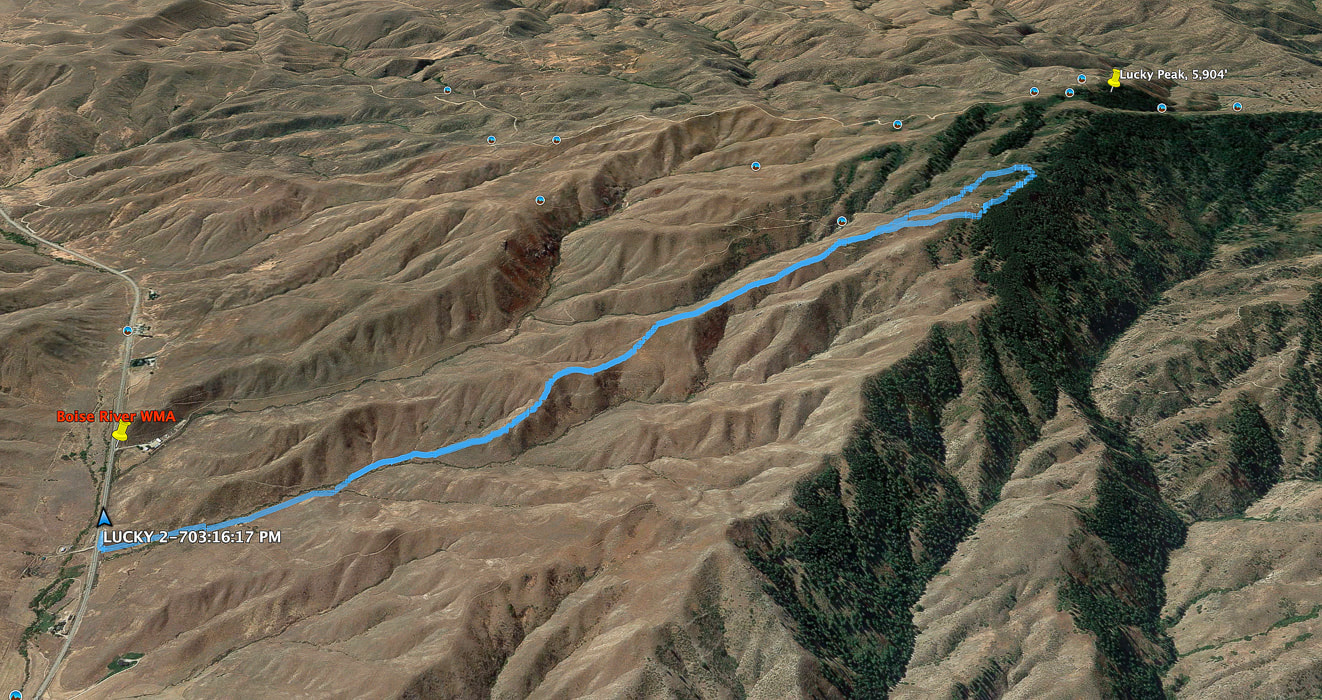
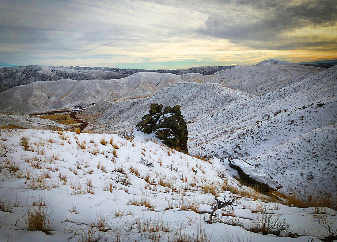
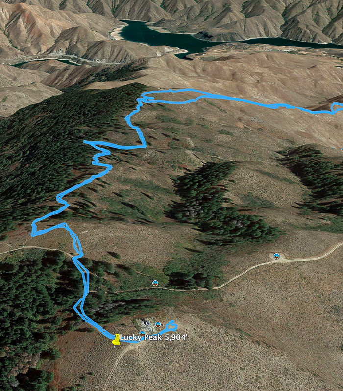
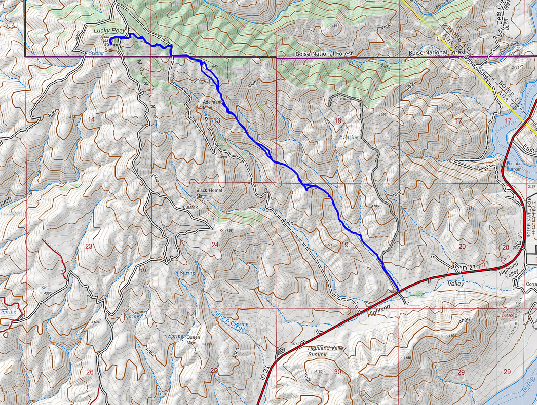
Core stone looking over Adelmann Mine buildings at 5,000 feet elevation. Primary commodity - gold Going up middle southeast ridge to Point 5645 on horizon with row of trees, which is 2.7 miles into hike Good place to use the Rest Step technique! (see above) Reach tree line at 5,600 feet elevation At the forested ridge, Lucky's summit is only another 300' gain. Metal posts mark Boise National Forest boundary and can be followed to a road that arises from Adelmann Mine. At the high point of this road, at a shaded saddle with a view toward Shafer Butte near Bogus Basin Ski Area to the north, a trail ascends to the west, passing by a few tent campsites. One more short climb to the summit and you are rewarded with a 360-degree view, mostly of the flat Snake River Plain and civilization at your feet. The mountainous Boise National Forest lies to the north. We relinquish our solitude for a few moments on the summit as 4 groups of hikers come and go. Then we are back on our own as we descend the ridge less traveled, intersecting elk trails in the snow. The descent is steep in parts as we pass by mining relicts. Try to imagine the gold miners on these ridges. Return to "civilization." Lucky to have the best of both worlds. View of Treasure Valley in the Snake River Plain from Lucky Peak's summit. Owyhee Mountain range on the horizon. Antelope bitterbrush overlooking the Snake River Plain From Lucky Peak summit looking north to Shafer Butte (left) near Bogus Basin Ski Area We didn't make it all the way to the summit on this southeast ridge hike. North is to right of image - click for larger image Our GPS tracks to/from summit Lucky Peak Reservoir in distance Going back down: slow going through brush on lower slope. Lower road leads to Adelmann Mine Overlooking Lucky Peak Reservoir Heading down ridge - Boise River WMA in valley on right. Our trailhead in valley on left. Beautiful valley at end of hike This image is as taken - no editing Great way to end the hike! Our GPS track from Idaho Hwy 21 to Lucky Peak Summit click on map for larger image References
The Diggings - Adelmann Group Western Mining History - Adelmann Group - westernmininghistory.com Maley, T. 1994. Field Geology Illustrated, 2nd ed. Mineral Land Publications, Boise, Idaho.
1 Comment
1/1/2024 01:44:45 am
I wanted to express my gratitude for your insightful and engaging article. Your writing is clear and easy to follow, and I appreciated the way you presented your ideas in a thoughtful and organized manner. Your analysis was both thought-provoking and well-researched, and I enjoyed the real-life examples you used to illustrate your points. Your article has provided me with a fresh perspective on the subject matter and has inspired me to think more deeply about this topic.
Reply
Leave a Reply. |
Categories
All
About this blogExploration documentaries – "explorumentaries" list trip stats and highlights of each hike or bike ride, often with some interesting history or geology. Years ago, I wrote these for friends and family to let them know what my husband, Fred and I were up to on weekends, and also to showcase the incredible land of the west.
To Subscribe to Explorumentary adventure blog and receive new posts by email:Happy Summer!
About the Author
|
