|
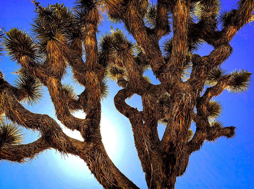
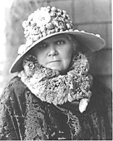
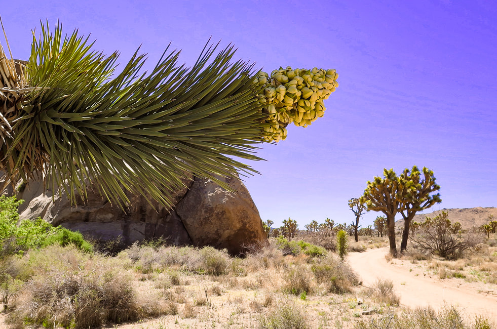
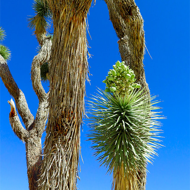
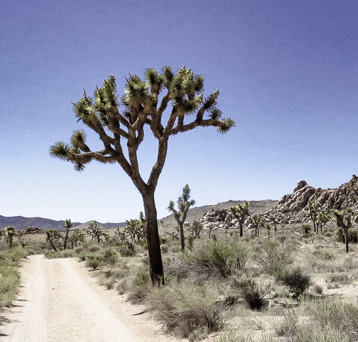
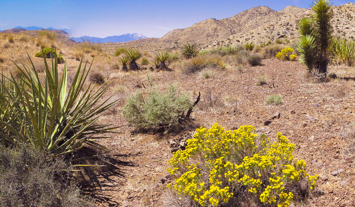
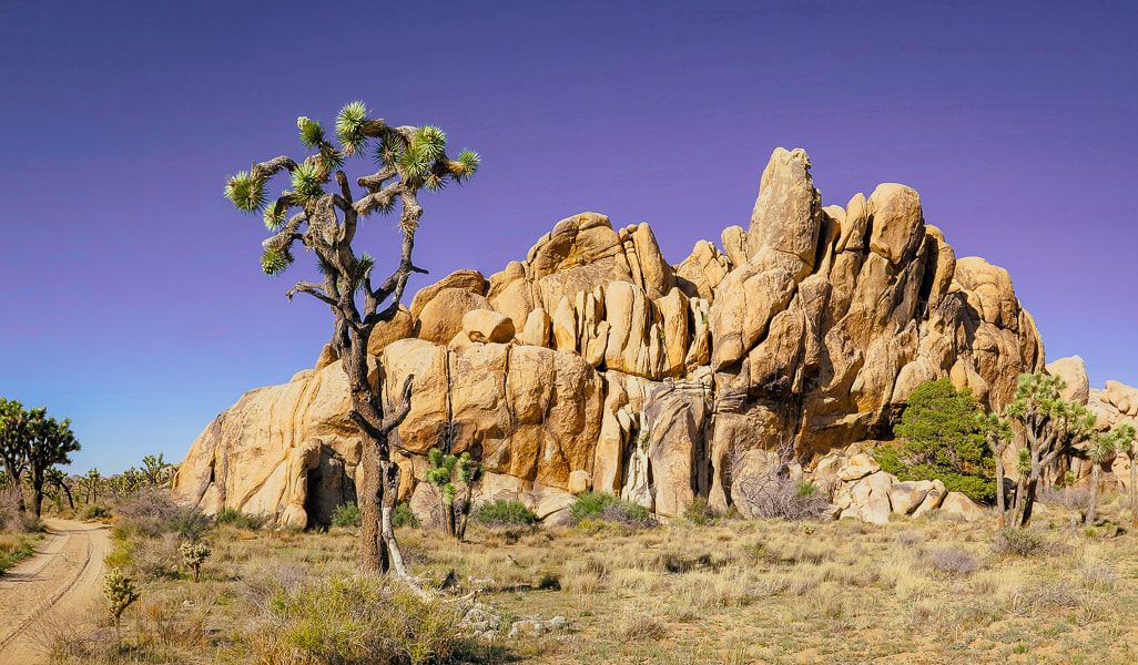
Named after the woman who lead conservation efforts for what is now Joshua Tree National Park, Mount Minerva Hoyt looks over wide, sandy valleys of Joshua trees and piles of weathered granite boulders, famous for their climbing routes.
Trip Stats
Overview: To honor the woman behind Joshua Tree NP's conservation campaign, hike to her namesake summit. Bag nearby Quail Mountain, Joshua Tree's highest summit, for a tour of two peaks and great views on top of Joshua Tree. Experience all of the famed attributes: Joshua tree groves, rock climbers scaling eroded granite, a glimpse of the private historic Randolph Ranch, a beautiful wildflower-filled canyon and an enjoyable ridge walk. Location: Joshua Tree National Park/Wilderness - North Entrance Station out of Joshua Tree, Southern California. Distance/Elevation gain: 12 miles out and back. Trailhead = 4,061', Summit = 5,405'. Net gain = 1,700'. Coordinates: Parking = 34.02926 N -116.17905 W. Summit = 34.01347 N -116.22694 W. Difficulty: Moderate Class 1-2 Fees/Permit: $30 entrance fee, good for 7 days. Navigational aids: AllTrails map, Trails Illustrated Joshua Tree National Park #226. Date Hiked: 4/9/2022. Geology: Begin in the eroded boulder piles of monzogranite, a deep intrusive igneous rock uplifted and eroded to create large depths of coarse rock-fill in the valleys. Monzogranites are a biotite (mica) granite that are the final crystallized product of magma, after other minerals have solidified (like olivine). Mount Minerva Hoyt summit is made of orthogneiss, a metamorphic igneous rock. Interesting to note that the summit of nearby Quail Mountain is not made of this gneiss, but instead made up of monzogranite. Good explanation of magma crystallization.
"This desert with its elusive beauty. . . possessed me and I constantly wished I might find some way to preserve its natural beauty."
- Minerva Hamilton Hoyt
Hike Summary
There's a few ways to hike to Mount Minerva Hoyt and nearby Quail Mountain, Joshua Tree NP's highest. Both are listed on Sierra Club's Hundred Peaks Section. Years ago, Roger and Maria Keezer led us up Quail Mountain from the west. This time Fred, Scott and I approached from the east, parking at a lot on Park Drive, ~ one mile south of the Boy Scout Trailhead reached from Joshua Tree's west entrance. You could also begin the hike from the Hidden Valley Nature Trail parking. The weather was perfect - sunny and warm. Scott met us for the hike, as he has for many over the years. We have recently hiked Monument Mountain and Pinto Mountain in Joshua Tree together, and Pahrump Point near Death Valley. Hiking Directions
Joshua Tree NP's area is 795,000 acres, slightly bigger than the state of Rhode Island. Thankfully, almost 430,000 acres of it is wilderness, so there is a lot of space to roam and discover. If you want solitude, you can quickly get away from popular spots. If you want to climb to get a view, there are six mountain ranges. Pay attention to maps and apps, because you can easily get disoriented in this huge desert. By getting out there, smelling, touching, and seeing the life of the Mojave, you will gain a sense of wonder and admiration for the species that survive there.
The land in Joshua Tree has had a varied and interesting history, from the Pinto Culture, its initial transitory hunter-gatherer inhabitants to the miners and ranchers that arrived in the 1800's, to people seeking wellness from tuberculosis, and today's recreational visitors. The year 2021 saw the first time that park visitors totaled more than three million. Minerva Hoyt created a desert conservation exhibit for the Garden Club of America show in New York in 1928 that also appeared in London, England. Her magnificent exhibits not only stressed the beauty of these American deserts, but also the fragility and potential dangers. The widespread attention her exhibits brought influenced many southern California residents to decorate their own gardens with transplanted cacti. Vegetation was taken from the natural desert gardens in the pass entering Palm Springs, California, easily accessible to those traveling on the major highway between that city and Los Angeles. Commercial florists added to this theft. The same occurred in the Mojave desert, where small Joshua trees were uprooted and planted in yards, and larger Joshua trees were harvested for their wood. Joshua trees were set ablaze so that people could signal to each other. Today, it's hard to believe this destruction actually occurred, because we have learned to respect these beautiful deserts - appreciation has grown significantly. It took this destruction to motivate Minerva Hoyt into action to preserve this awesome park. When I lived and worked in the Palm Springs area in the 1990's, I was fortunate to be a volunteer to survey desert tortoises along with my hiking friends. We worked with the Joshua Tree National Monument's biologist, walking through the Pinto Basin, a vast sublime open desert. Upon coming across a tortoise, we weighed it, counted its scutes, measured it and glued an identification tag onto its shell, so it could be tracked. This was the beginning of my fascination for desert ecology, and of great memories that we friends still recall today.
Keep Exploring our Deserts!
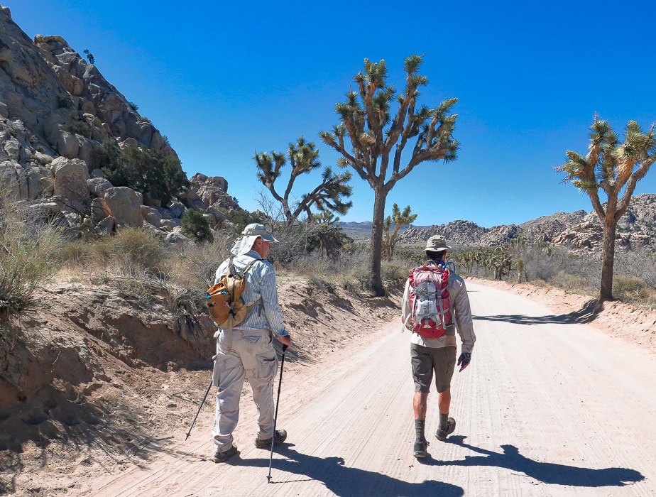
Starting off on road that leaves from parking area off Park Boulevard near Hidden Valley. This road leads to an intersection with a trail that leads 0.5 miles to the Hidden Valley picnic area, another place to start this hike.
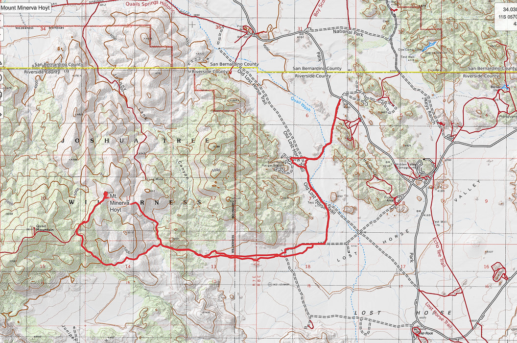
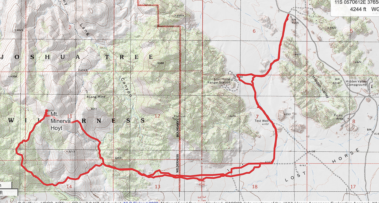
Our GPS tracks leading from Park Boulevard to a loop ascending Mount Minerva Hoyt.
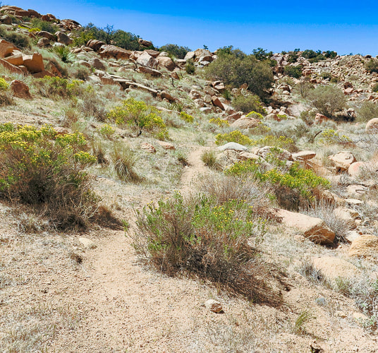
Continuing west along Old Lost Horse Trail
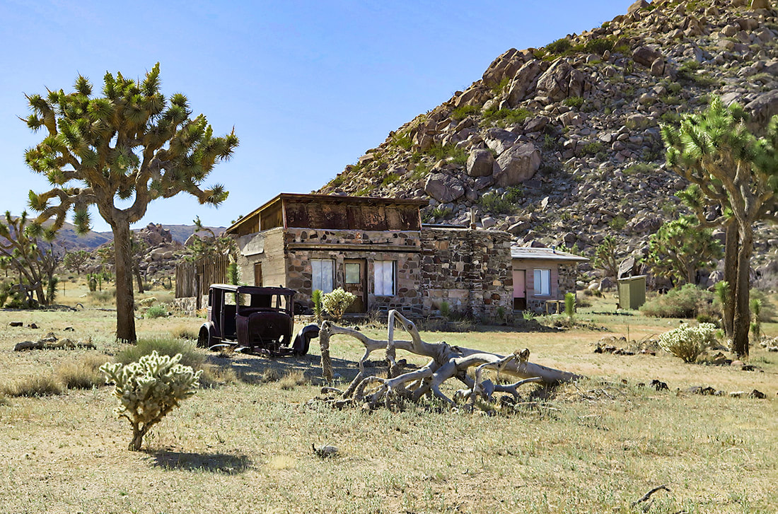
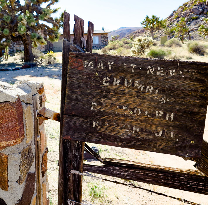
Old Randolph Ranch - go around fenced property. I could not find much on the history of this ranch. It appears the owner had a sense of humor (see photo below).
Randolph Ranch - "May it Never Crumble".
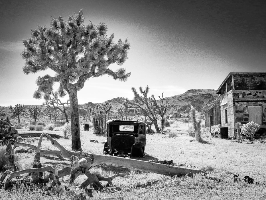
Randolph Ranch, a private inholding in Joshua Tree NP.
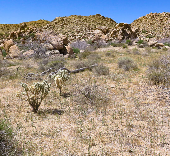
Hiking west up Lost Horse Valley past Randolph Ranch. Mount Minerva Hoyt is dark-covered peak on the right.
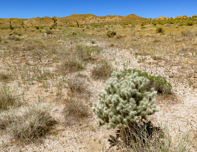
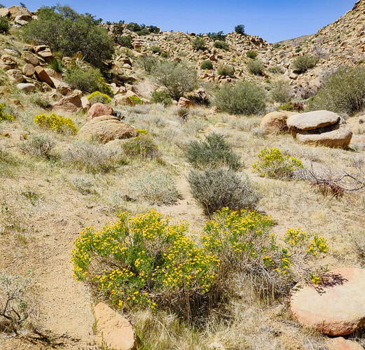
Some cool stuff on the trail.
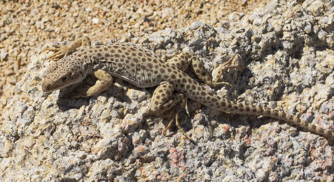
Long-nosed leopard lizard
Gambelia wislizenii
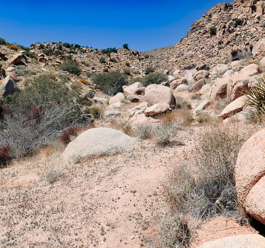
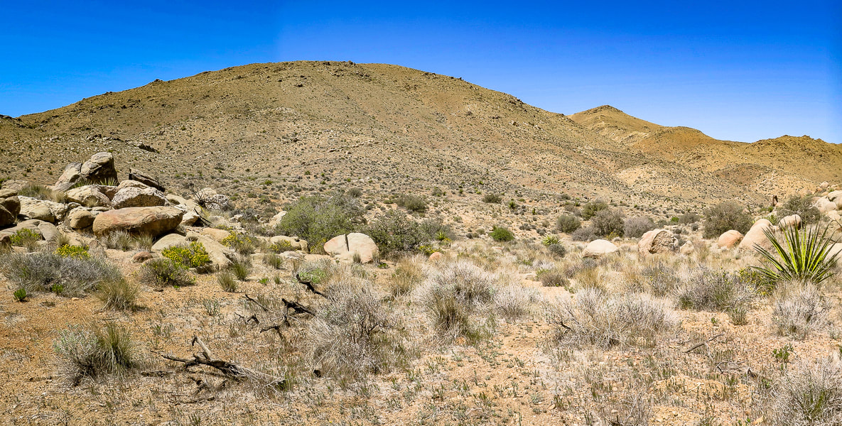
The end of Lost Horse Valley funnels you into a small canyon or draw with visible path leading to saddle where you then descend into wash at base of Mt. Minerva Hoyt and Quail Mountain.
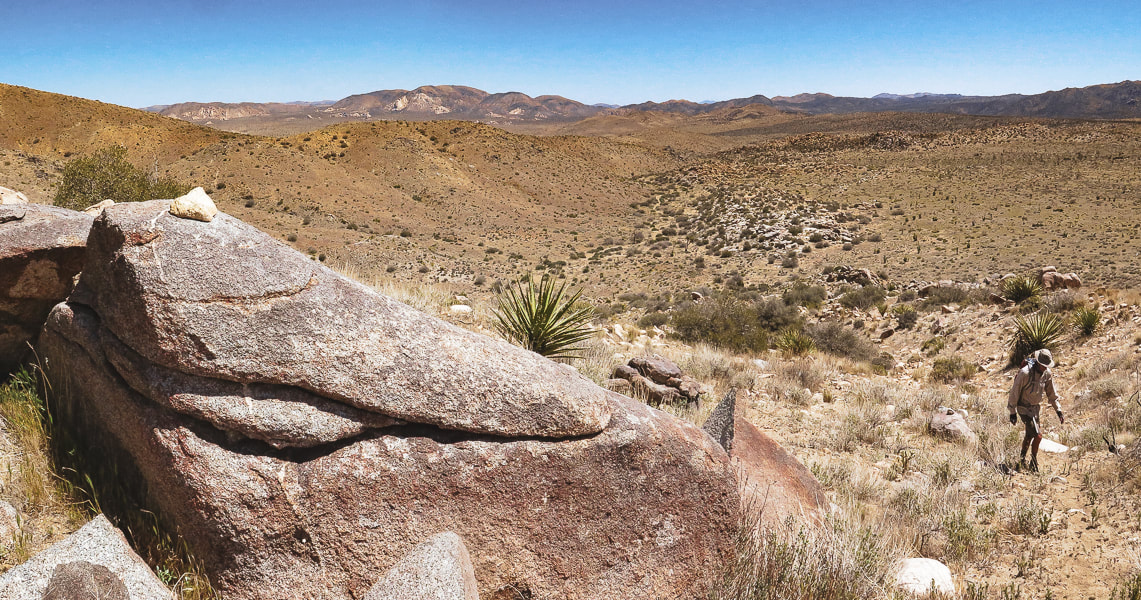
Arriving at the saddle before the drop into the wash at base of mountains. We climbed this ridge westward toward Quail Mountain and then headed northeast on the cross country trail between Quail and Minerva Hoyt to hike Mt. Minerva's southwest ridge to the summit (point on horizon to the right).
Dropping 200' down into wash after saddle. Mount MInerva Hoyt on the right horizon. On the way up, we ascended the ridge in front of us in this photo; we descended Minerva Hoyt's east ridge seen on horizon to end up in this wash.
View of Mt. San Jacinto (overlooking Palm Springs), still covered with a lot of snow.
Walking up ridge toward Quail Mountain after getting out of wash.
Looks like a trail marker on the ridge up. Looking back at the saddle we crossed over to get into wash below.
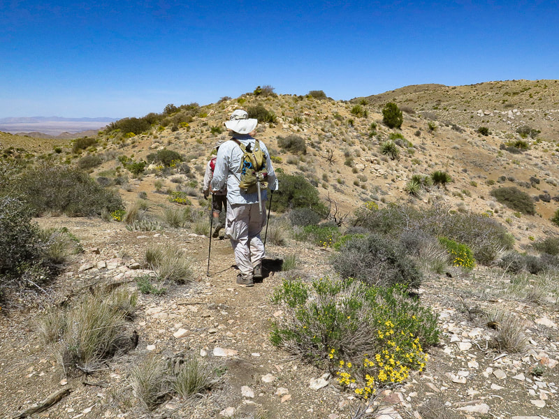
Scott on ridge trail.
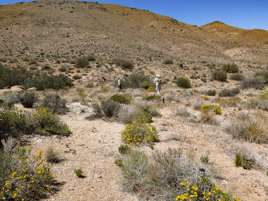
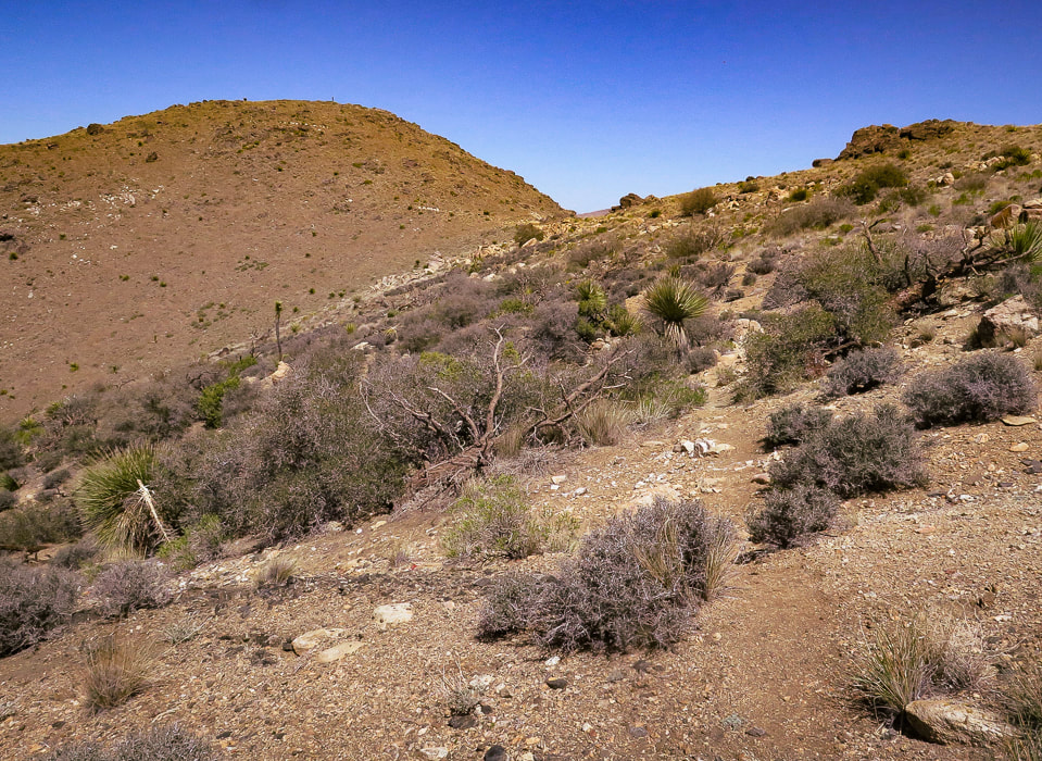
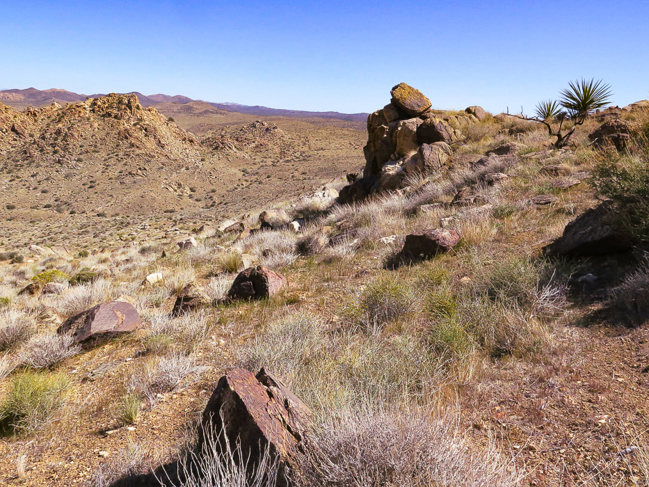
Hiking on cross-country trail that connects Quail Mountain to Mt. Minerva Hoyt. Summit on the left - there is a guy standing up there!
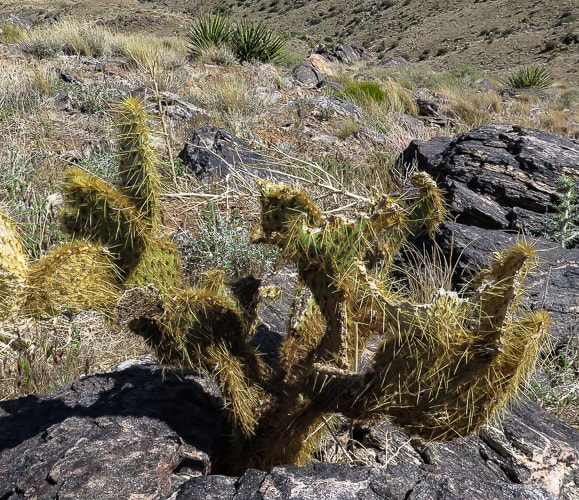
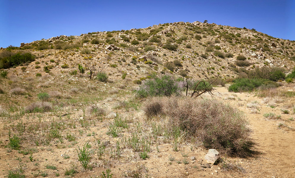
The last 200' climb to the summit is easy, punctuated with beautiful metamorphic boulders and cactus gardens, plus a spectacular view of the desert that Minerva Hoyt fought so hard to protect.
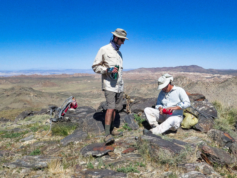
Fred and Scott signing summit register.
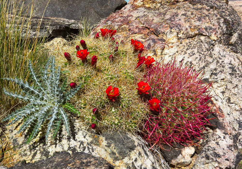
One of the beautiful "cactus gardens" on the summit.
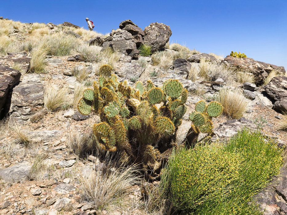
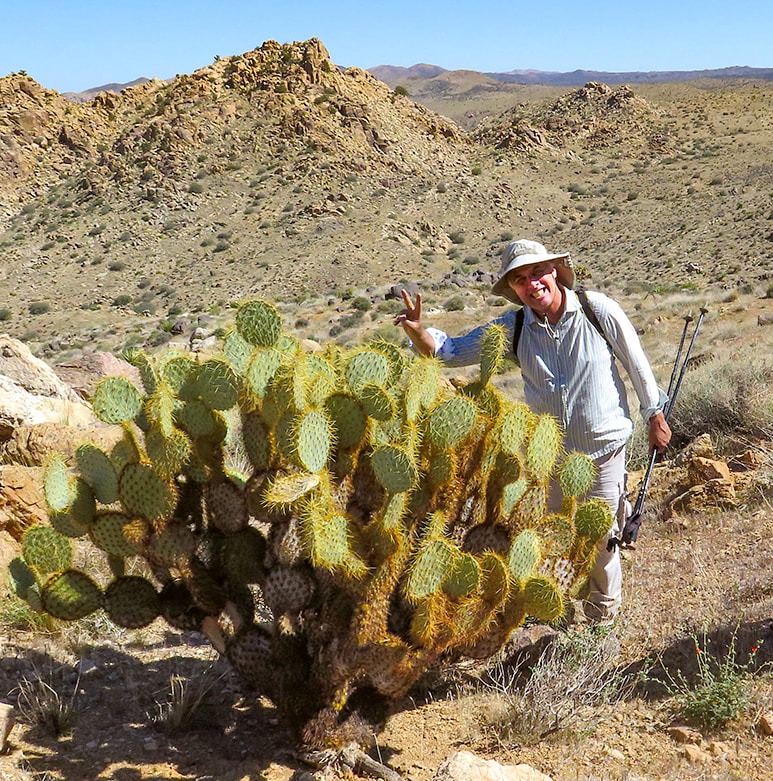
One of the biggest prickly pears (may be a dollarjoint prickly pear) I have seen! The saddle that we ascended is just above Scott's head and slightly to the right under the two rock summits - aiming for that landmark on our way back!
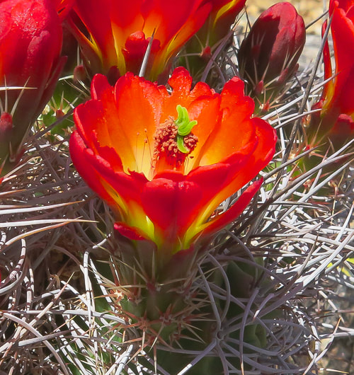
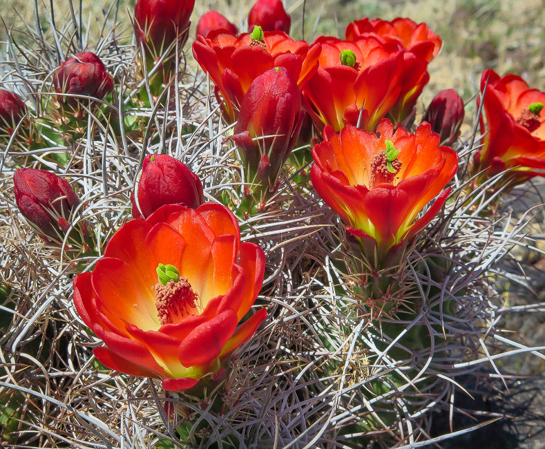
Claret cup hedgehog
Echinocereus triglochidiatus
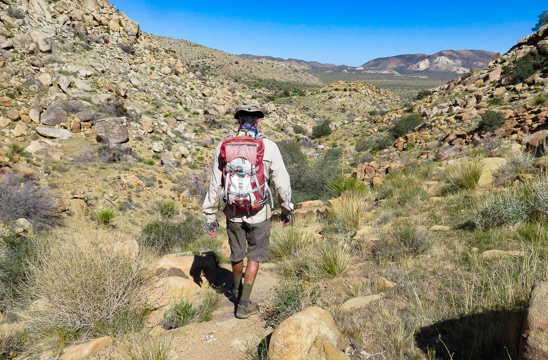
Minerva Hoyt's east ridge path - headed toward wash below.
Getting near wash and saddle, our entry point into Lost Horse Valley.
On the way back.
Our GPS tracks
Click for larger map
Elevation profile
References
Earle, S. Crystallization of Magma from Physical Geology. BC Campus. Minerva Hoyt. National Park Service. 2015. Dilsaver, L.M. 2015. Joshua Tree National Park: A History of Preserving the Desert. Prepared for National Park Service, Joshua Tree National Park, Twentynine Palms.
4 Comments
Maria Keezer
5/10/2022 04:27:46 pm
Thank SueBee... memories... thank you for doing this hike in memory of Roger... may he RIP
Reply
Maria, I am looking at the photo of Roger on top of Quail Mountain - I see it every day as well as one of you two when you first started hiking. They are on my bulletin board right above my computer. I will always cherish the memories of hiking with you and Roger and the "4 ladies". It was a special time in my life. Roger will always be remembered - I miss him!
Reply
5/12/2022 09:09:33 am
I'd never heard of the remarkable Minerva Hoyt. We owe much to the forward-thinking and deeply committed preservationists of the past.
Reply
Yes I agree, Linda that we owe much to the determined people that were conservationists that saw into the future so that we can value our public places - and today we have to continue that show of love so people that aren't even born yet can appreciate them too.
Reply
Leave a Reply. |
Categories
All
About this blogExploration documentaries – "explorumentaries" list trip stats and highlights of each hike or bike ride, often with some interesting history or geology. Years ago, I wrote these for friends and family to let them know what my husband, Fred and I were up to on weekends, and also to showcase the incredible land of the west.
To Subscribe to Explorumentary adventure blog and receive new posts by email:Happy Summer!
About the Author
|
