|
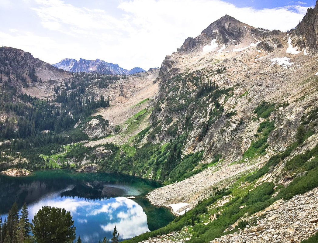
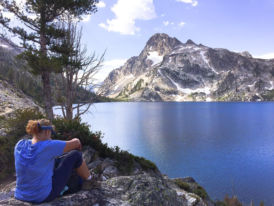
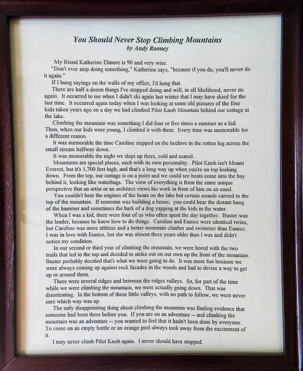
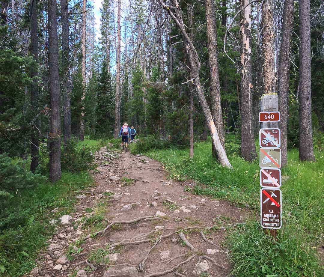
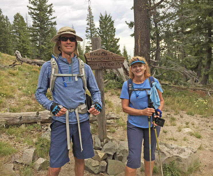
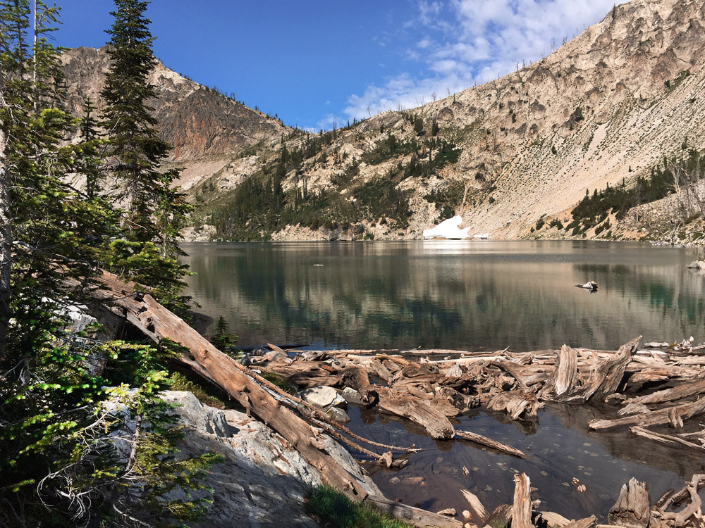
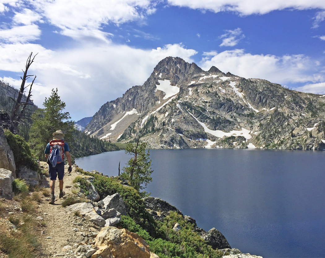
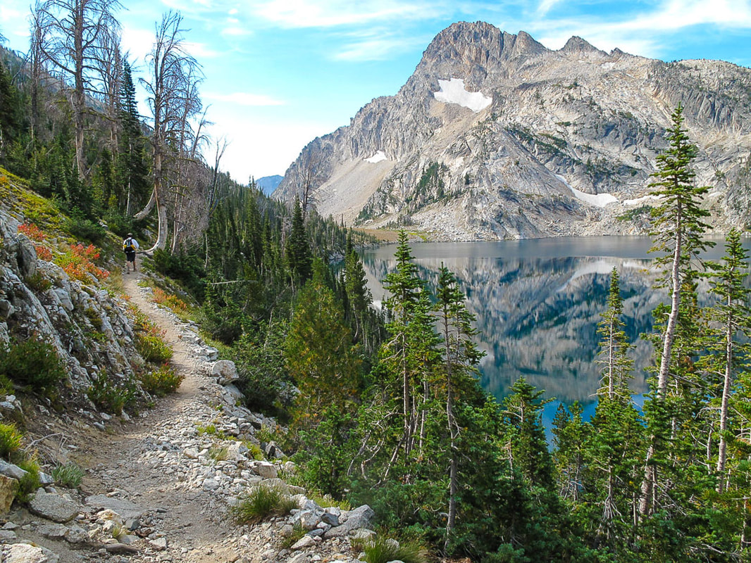
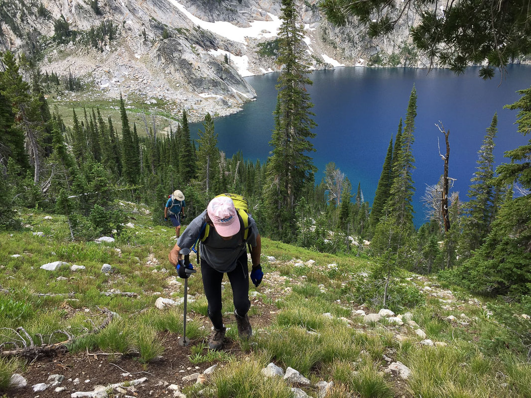
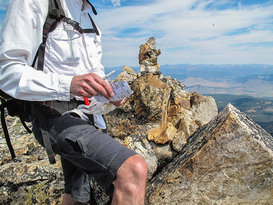
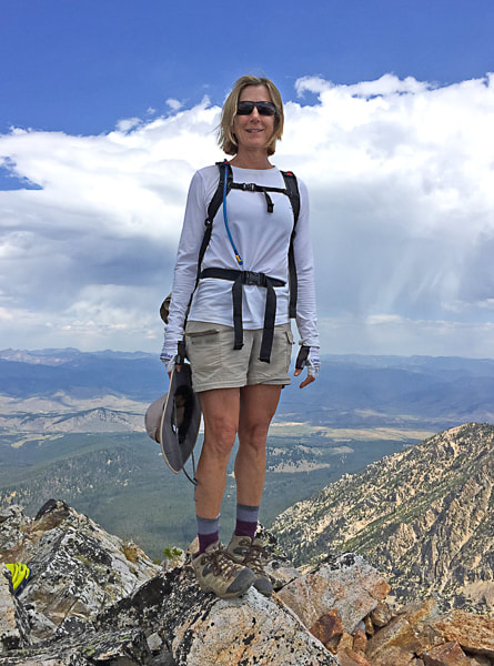
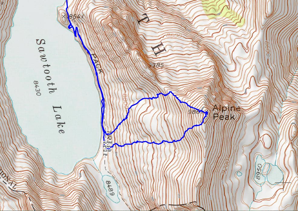
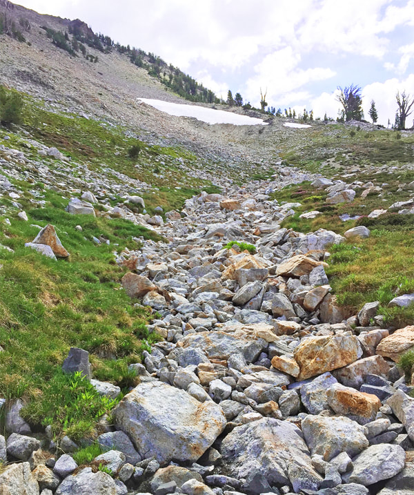
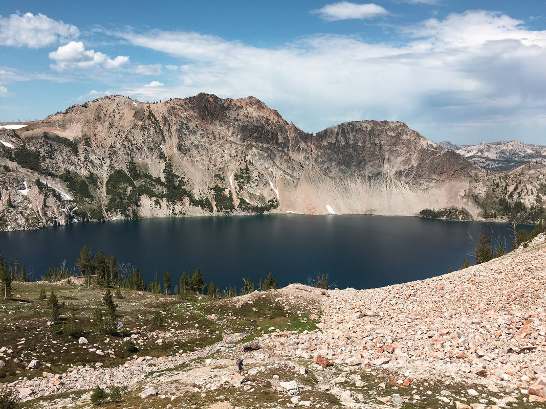
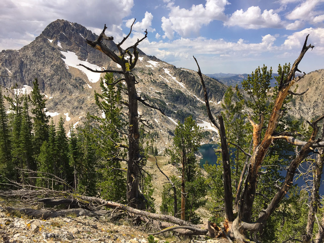
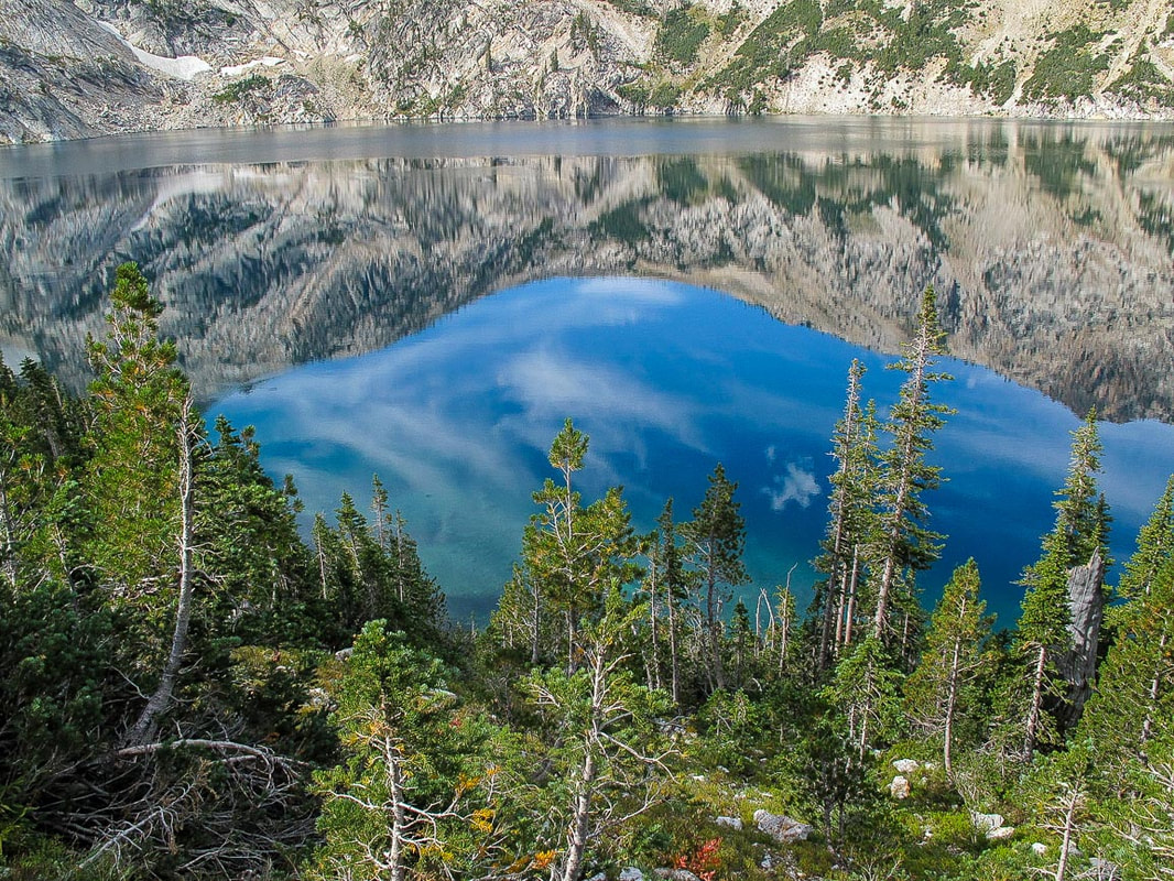
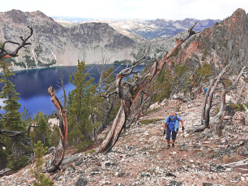
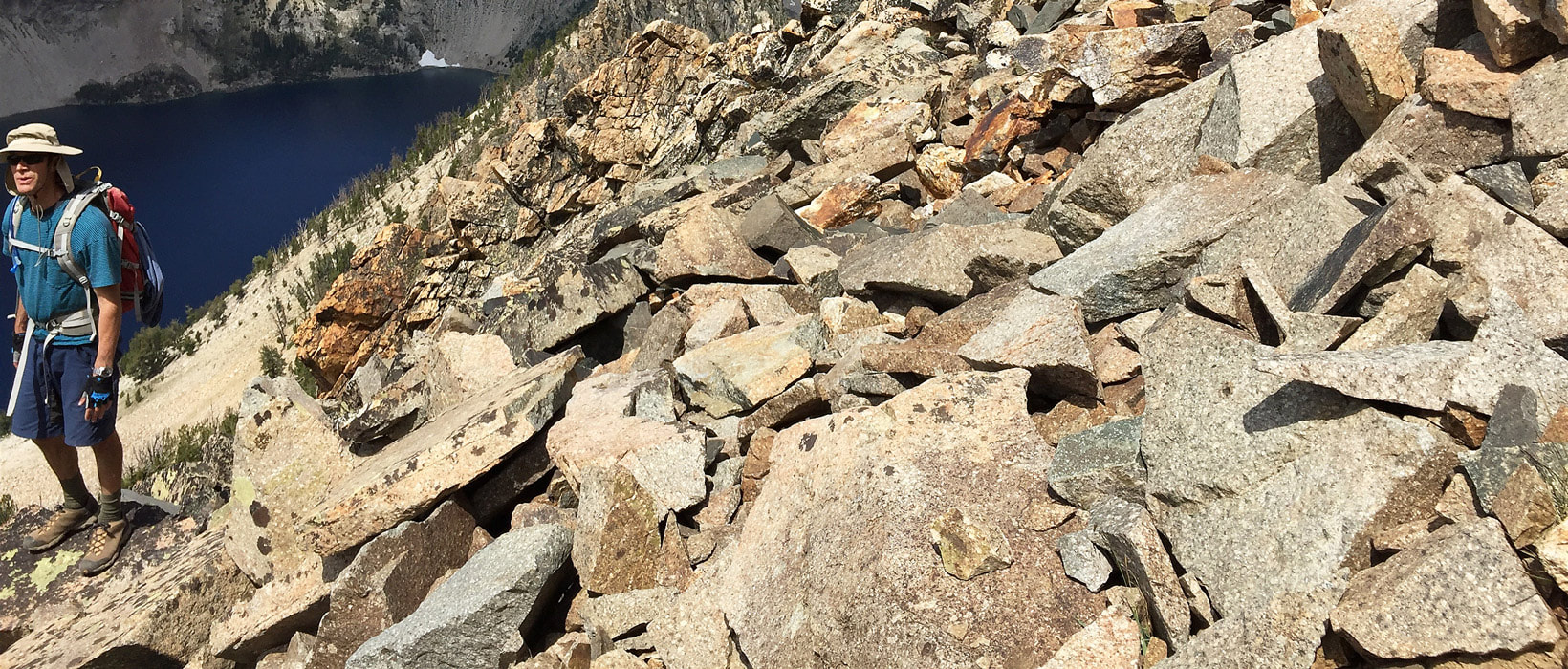
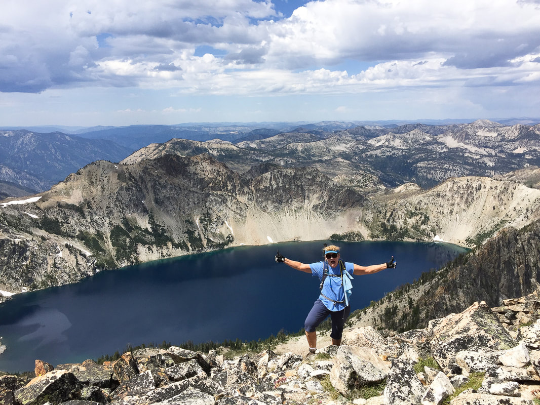
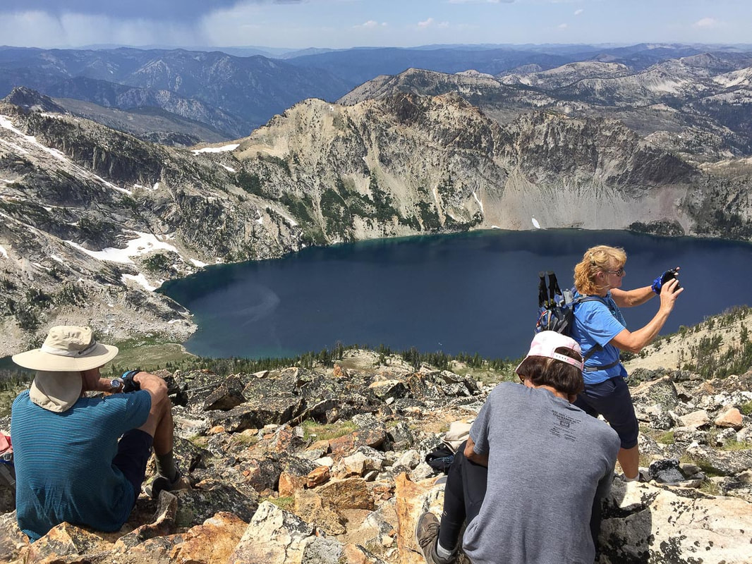
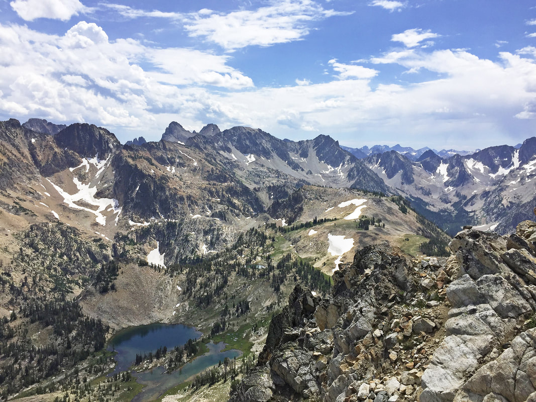
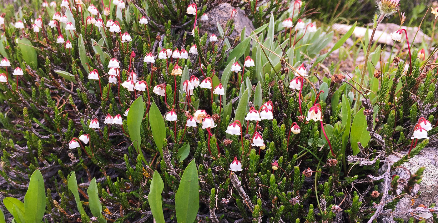
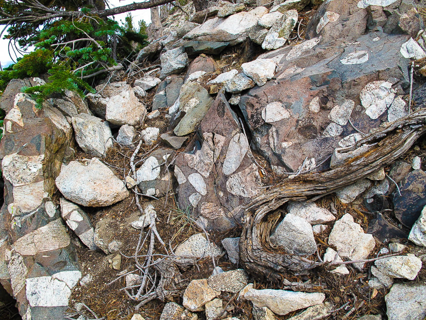
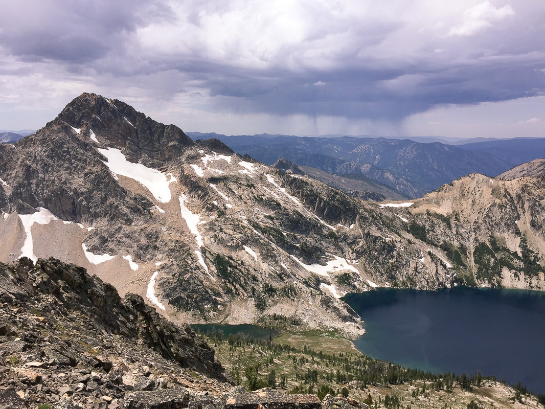
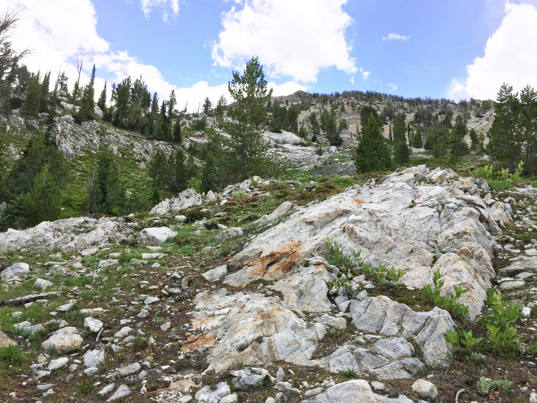
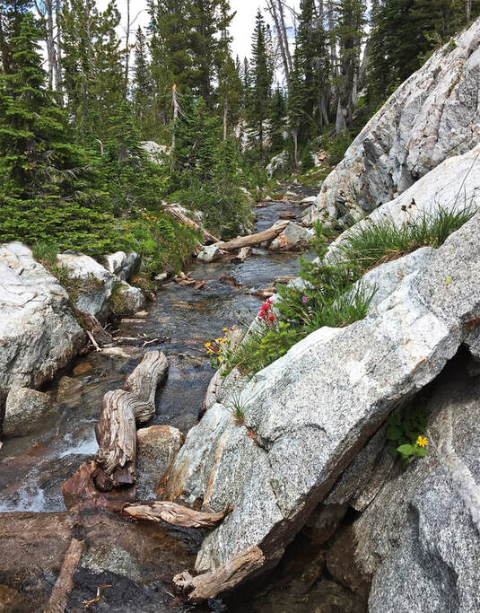
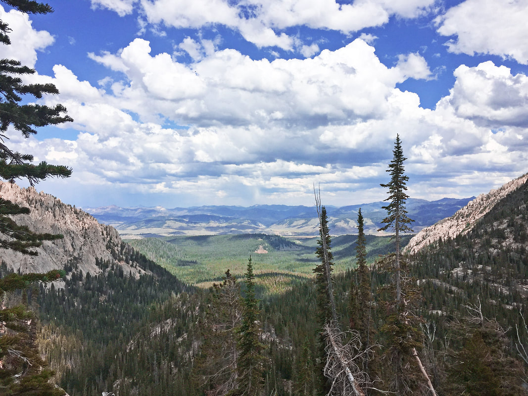
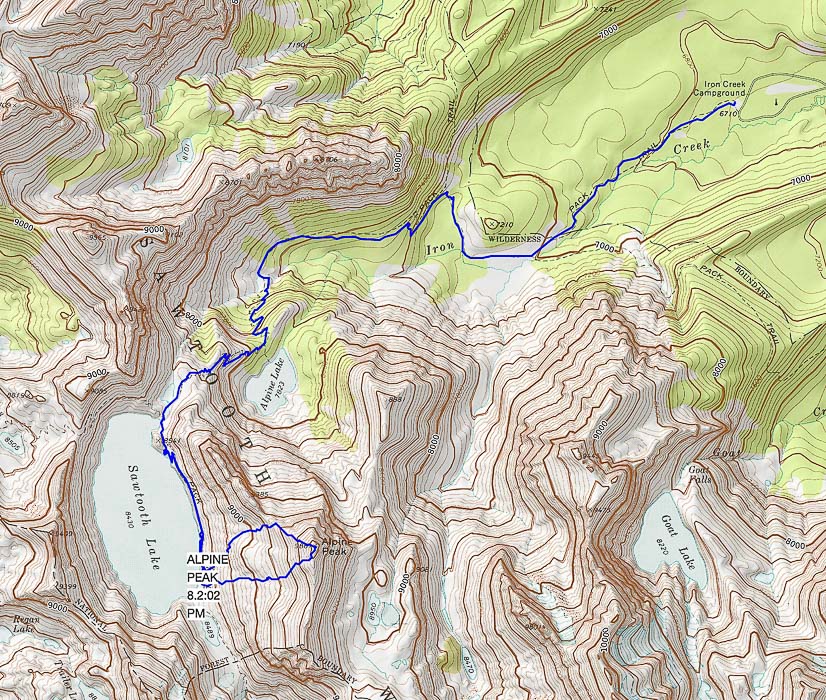
Summit Alpine Peak in Idaho's gorgeous Sawtooth Wilderness for a stunning view of dozens of Sawtooth peaks, Mount Regan's steep north face, and beautiful Sawtooth Lake at your feet. Alpine Peak (right - elevation 9,861') rises 2,000 feet above Alpine Lake, Sawtooth Wilderness Val taking a break at Sawtooth Lake - looking across to Mount Regan's north face Trip Stats Location: Sawtooth Wilderness. Trailhead out of Stanley, Idaho. Distance/Elevation gain: 12.6 miles/3,151' Summit elevation: 9,861' Difficulty: Moderate Class 1 to Sawtooth Lake, Strenuous Class 2-3 from end of Sawtooth Lake to summit traveling over talus toward summit. Trail Type: Out and back: can hike a loop from trail to summit approach. Trails: Trail #640 4.5 miles to Sawtooth Lake; Trail #478 to end of Sawtooth Lake; cross-country from lake to Alpine Peak. Lat/Long: Trailhead: 44.1986 -115.013, Alpine Peak: 44.1713 -115.0497 Water: Can filter water from creeks and Sawtooth Lake. Permit: Sawtooth Wilderness permit at Iron Creek Trailhead kiosk. Maps: Sawtooth Wilderness Hiking Map and Guide: Earthwalk Press (Our GPS tracks below). Date Hiked: August 2, 2019 Considerations: Dogs required to be on leash July 1 - Labor Day. Link to USDA Sawtooth Wilderness information Link to Idaho Outdoors Forum for mountain conditions information Stanley Ranger Station: (208) 774-3000 Snow may still be present around Sawtooth Lake in June. Driving Directions: From Stanley, drive 2 miles west on ID 21 to turnoff for Iron Creek trailhead (FR 619) on the left. Drive on asphalt/dirt/gravel road 3 mi. to trailhead parking lot. Hike Directions: Iron Creek Trailhead: Trail #640 to intersection with trail to Stanley Lake, continue left at the sign to Sawtooth Lake. At ~ 3.5 miles, come to intersection with spur trail to Alpine Lake, keep straight on Trail #640 to Sawtooth Lake. At Sawtooth Lake's outlet, head south on the lake's east side on Trail #478 for ~ 0.90 miles to the end of the lake. Climb east up to Alpine Peak's southwest ridge to summit, ~ 0.75 miles. "You Should Never Stop Climbing Mountains", Andy Rooney proclaimed in one of his commentaries from the television show 60 minutes. Many years ago, my sister sent me a written copy of this excerpt along with photos of my hiking adventures neatly arranged in two connected frames. I still have it displayed along with other old hiking photos. In this segment, Rooney describes how he climbed Pilot Knob Mountain behind his cottage on Lake George in New York 4 or 5 times each summer during his childhood, and later climbed it with his kids. One day, he came across old photos of he and his kids on top of Pilot Knob, and it occurred to him that he had stopped climbing mountains, just like he had stopped doing "...a half a dozen things." He tells a few stories of some of his memories on this mountain and then sums up his commentary with "I may never climb Pilot Knob again. I never should have stopped." A few weeks ago, Val, Fred, John and I took Rooney's advice to climb another mountain together: Alpine Peak summit in the gorgeous Sawtooth Wilderness in the heart of Idaho. We four had done a phenomenal hike to Goat Mountain in Idaho's Pioneer Mountains last autumn. Fred and I had summited Alpine Peak 6 years ago, so we knew where to get off the trail that treks along Sawtooth Lake's east side for the 1,400-foot climb to the summit. We have been hiking this trail over the past 19 years. It's so beautiful that many others have discovered it and for a weekday it was busier than ever. However, not many ventured past Sawtooth Lake, and no one else climbed Alpine Peak that day. My sister gave me this written copy of Andy Rooney's excerpt from 60 Minutes years ago. Our Hike The first part of the trail is a pleasant and easy climb along Iron Creek with its gentle melodic waterfalls through pines, firs and green understory. Near the intersection with the trail to Alpine Lake, Alpine Peak rises 2,000 feet over the lake's cirque to the south. As the trail switch-backs out of the forest, views open, becoming more stunning with each step. To the northeast, a perfectly U-shaped thickly forested valley carved by glaciers from the Little Ice Age extends below. After reaching Sawtooth Lake, the real feel for this terrain and its breathtaking views become apparent with the steep and rocky Class 2-3 climb to the summit. Mile 0 to Mile 3.5 at intersection of trail to Alpine Lake 8:15 a.m: We obtained our Sawtooth Wilderness permit at the trailhead kiosk. It was a bit early for John, but Val, Fred and I were excited about the hike and ready to go. This section gains 1,200 feet, crossing over Iron Creek as it approaches Alpine Lake, a perfect mirror of the clouds above. On the way to Alpine Lake turnoff, pass two trail intersections. An old, classic wooden trail sign, splitting through the middle, indicates the way to Stanley Lake. An intersection before that indicates Trail #528 to Marshall Lakes (this trail goes to Goat Lake, an excellent hike). Crossing over the creek before the switchbacks up to Alpine Lake must be interesting in the late spring with the increased run-off of that cold, crystal clear water. Iron Creek Trailhead Fred and Val at intersection of Trail #640 to Sawtooth Lake and Trail #528 to Stanley Lake Mile 3.5 to Mile 4.5 at Sawtooth Lake's outlet (northeast side) Although the trail signs indicate Sawtooth Lake is over 5 miles from Iron Creek Trailhead, my GPS read 4.5 miles. The trail gains 530 feet in about one mile between the intersection of Alpine Lake's spur trail and the first view of scenic Sawtooth Lake. The views of Alpine Peak improve until you work your way around the ridge that contains it, and then it becomes hidden while standing at Sawtooth Lake. Passing the lake's outlet log jam, the trail traverses through huge white granite boulders. This is a wonderful place to eat lunch - on an elevated bank looking across the bright blue water to Mount Regan with its formidable north-facing vertical wall. Though all around there is a riot of bright colors: red, purple, yellow wildflowers, fresh granite edges, and sparkling water, everything in is harmony, and it has a calming effect. John hides a water bottle among boulders; Fred bets he won't find it again. John is fully awake now and impatient to end our break and get back on the trail. First view of Sawtooth Lake ~ 4.5 miles from trailhead Starting out on 0.9-mile trek along Sawtooth Lake's east side to its end - August 2019 Compare the snow level on Mt. Regan with identical photo below taken in 2013. Sawtooth Lake and Mt. Regan July 2013 - less snow this year! Near beginning of 1,400-foot ascent to Alpine Peak Walk to the end of Sawtooth Lake (above) and head straight up. Mile 4.5 (Sawtooth Lake's outlet) to Alpine Peak Summit The easy part is over and we focus on the tough part of the day - getting to the summit. Best to have a topo map to find the easiest way up, although Alpine Peak is one of the least technically challenging Sawtooth summits. From Sawtooth Lake, walk the trail along the east side of the lake, initially making a few switchbacks to rise above the lake. Walk 0.9 miles to the lake's end, then start climbing off-trail for 0.75 miles to Alpine Peak (see our GPS tracks below), up any one of the gullies to ridge. After reaching ridge, hike along it north to summit. On our way up, we left the trail a bit too early, which made the climb steeper, but also more interesting. Gaining 1,400 feet in 0.8 miles means heart-pounding steep, and grasping for tree branches was necessary at times. John went up a rocky gulley directly under the peak. Fred, Val and I slowly picked our way to the saddle just west of the summit then stepped through a stable boulder/talus field, grasping onto rock outcrops and angling toward the summit. Underneath me I could see Val and the lake grow smaller as I climbed. We could see the summit high above us and all the broken rock we had to navigate before getting there. We met victoriously with John, already at the top. From the summit, the view of the Sawtooth Mountain Range's many sharp-toothed peaks, a close-up of Mount Regan and the town of Stanley with specks for buildings is tremendous. Sawtooth Lake is a sapphire oval far below us. We hunted for it, but could not find the peak register. Alpine Peak's summit register in 2013; we didn't find it in 2019 Sue on Alpine Peak's summit. The summit becomes visible half-way up the climb from Sawtooth Lake The upper track is our ascent, the lower track our descent Ascending Alpine Peak from Sawtooth Lake - 1,400' gain in 0.75-0.8 miles Fred on the way up Alpine Peak On the ascent from Sawtooth Lake - Mt. Regan Val making her way up Alpine Peak's northwest ridge Maneuvering talus slope on ascent. Val reaching summit! Fred, John, Val at Alpine Peak Summit - 1,400 feet above Sawtooth Lake View southeast toward Williams, Merritt and Thompson Peaks Western moss heather Cassiope mertensiana subsp. gracilis Matrix-supported conglomerate seen on the ascent Heading down toward Sawtooth Lake Dark purple clouds with rain sheets underneath had gathered during our summit celebration. When we heard distant thunder, we decided to get down. Although lightening was just over the ridge, we were spared the storm. We hiked south along the ridge for a short distance and then aimed for the south end of Sawtooth Lake. This way treks over alternating tree islands and boulder/talus fields, and it's fun to "skate" down through the scree. Again, John descended by his own route, through more rock, it seemed. We found him at the bottom on the trail, a bit scraped up and bleeding from a fall. But John is tough with a lot of experience with falling (he and Val are skydivers), so we resumed our hike along Sawtooth Lake. Before heading away from Sawtooth Lake, we cooled our feet in splashing crystal clear outlet creek. Walking down the trail with the wide valley spread at our feet, we passed uphill hikers, on their way to that extraordinary lake. But what we four had just seen, hiking above and beyond, few people get to witness. "What should our next summit be?" I asked. Maybe in the future the mountains I climb will have less rise and distance and the summit easier to obtain. As long as I am able, I will never stop climbing mountains. I bet we four will continue to climb them as long as we can. By the way, we eventually found John's water bottle. "Everyone wants to live on top of the mountain, but all the happiness and growth occurs while you're climbing it." - Andy Rooney Great way to head up to the summit - from end of lake, head up to saddle on the horizon, then hang a left (north) on the ridge to summit. Sawtooth Lake's outlet creek U-shaped valley cut by Pleistocene glacier Hike from Iron Creek trailhead to Alpine Peak click on above map for larger view Special thanks to Cecilia Lynn Kinter, PhD, Idaho Department of Fish and Game, Boise, Idaho for identifying Cassiope mertensiana.
4 Comments
Lynn
9/7/2019 10:15:52 pm
Wonderful hike information, and beautiful photos. Really inspiring! Thanks, Sue!
Reply
Thank-you for your comment, Lynn - it is an extraordinary area and I feel lucky to be able to see it and feel its grandeur. Thanks also for identifying the western moss heather - even more special now that I know it's a rare plant in Idaho! I will get more photos of it next year!
Reply
Arlen
10/7/2023 06:13:46 am
Thank you so much for this thorough and thoughtful account (with great photos!) Inspiring and helpful for my own planned climb to Alpine Peak today!
Reply
Arlen,
Reply
Leave a Reply. |
Categories
All
About this blogExploration documentaries – "explorumentaries" list trip stats and highlights of each hike or bike ride, often with some interesting history or geology. Years ago, I wrote these for friends and family to let them know what my husband, Fred and I were up to on weekends, and also to showcase the incredible land of the west.
To Subscribe to Explorumentary adventure blog and receive new posts by email:Happy Summer!
About the Author
|
