GPS tracks for Artists Palette Peak and Sheephead Mountain in Death Valley National Park
12/2023
Coordinates:
Artists Palette Peak: 36.37807 -116.79366. Elevation = 2,230' Sheephead Mountain: 35.92444 -116.40427. Elevation = 3,073'
12/2023
Coordinates:
Artists Palette Peak: 36.37807 -116.79366. Elevation = 2,230' Sheephead Mountain: 35.92444 -116.40427. Elevation = 3,073'
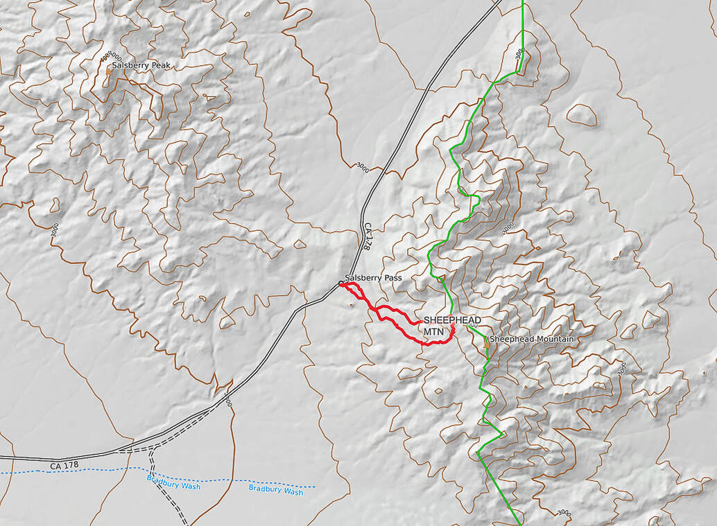
Our GPS tracks (red) from park just off California Highway 178 (out of Shoshone) to saddle northwest of Sheephead Mountain.
Ibex Wilderness
North at top of map.
Ibex Wilderness
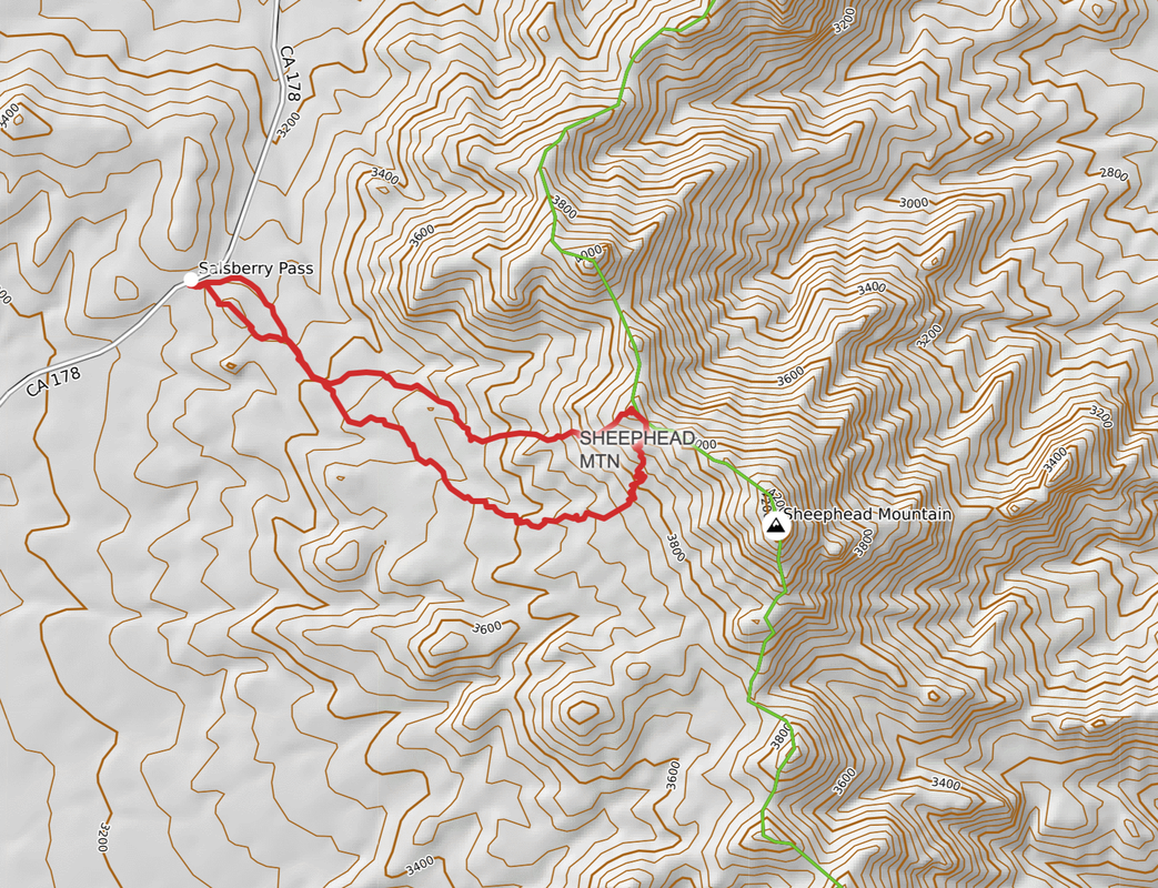
North at top of map.
GPS tracks to saddle below Sheephead Mountain. We ascended the northern-most ridge and descended the southern tracks. I recommend ascending by the southern tracks because there's less scree and it's not as steep.
Ibex Wilerness
Ibex Wilerness
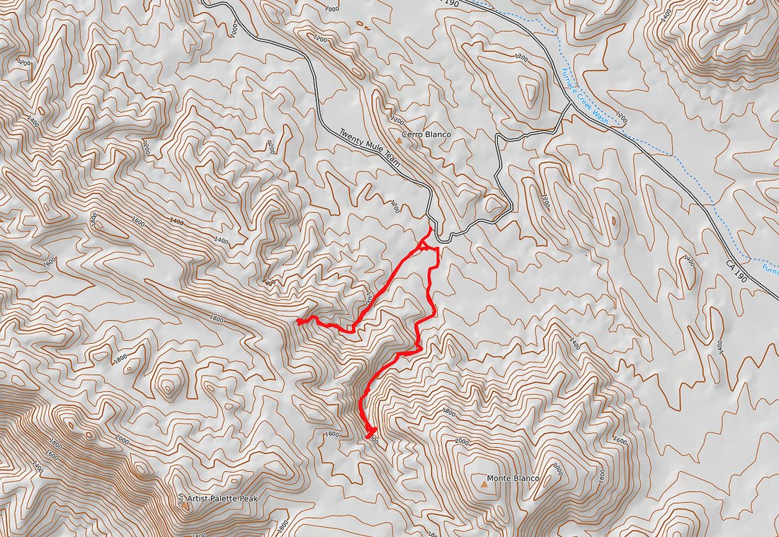
Our GPS tracks for Artists Palette Peak attempts. The canyon on the right (east) is Twenty Mule Team Canyon. We ran into Class 3+ boulders on the ascent.
We stopped at the loose steep talus slope out of the canyon to the left (west).
Artists Palette Peak is to the southwest.
North at top of map.
Eastern Death Valley, just off of California Highway 190.
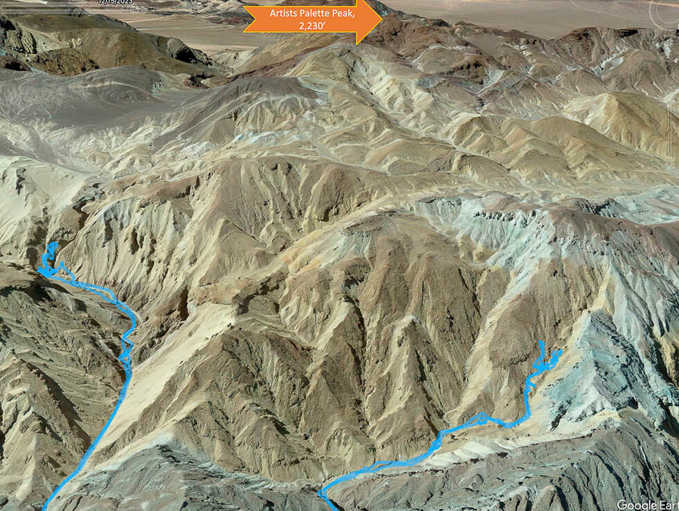
We stopped at the loose steep talus slope out of the canyon to the left (west).
Artists Palette Peak is to the southwest.
North at top of map.
Eastern Death Valley, just off of California Highway 190.
Our GPS tracks in blue, turning around at two canyons leading to Artists Palette Peak.


